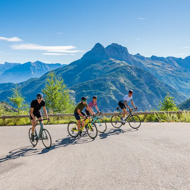
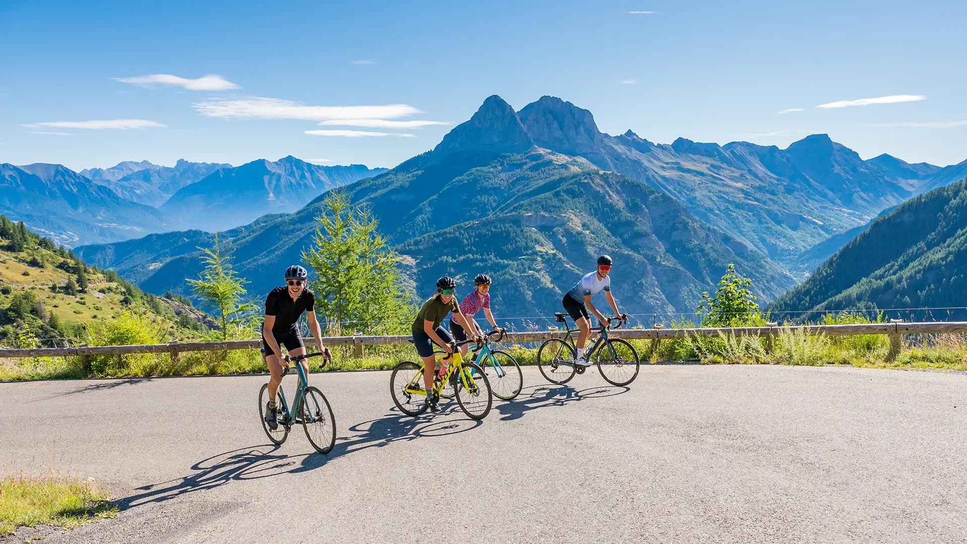
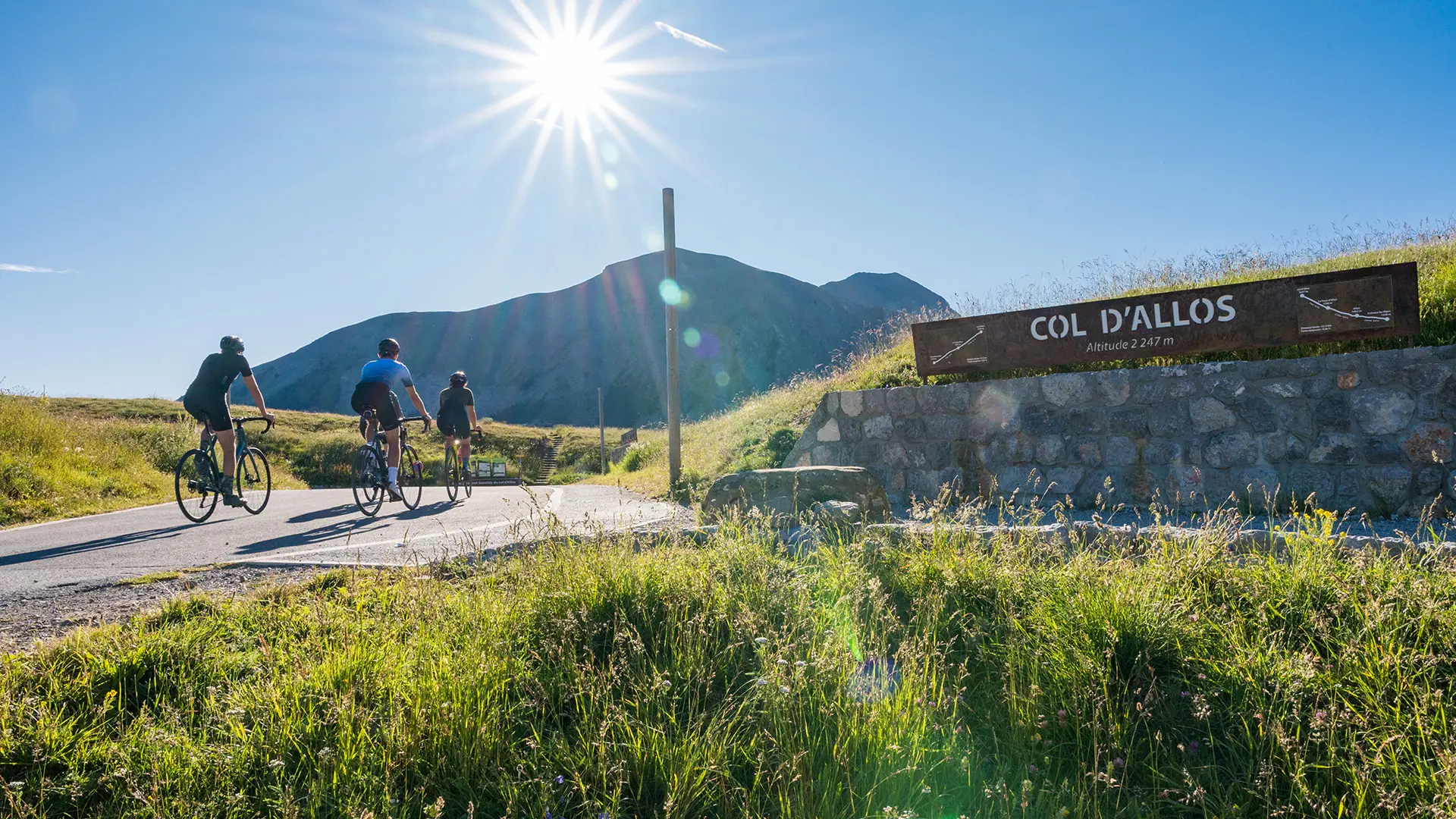
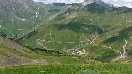
The Col d'Allos is a classic route that takes you from Ubaye to the source of the Verdon and then on to the Mediterranean coast.
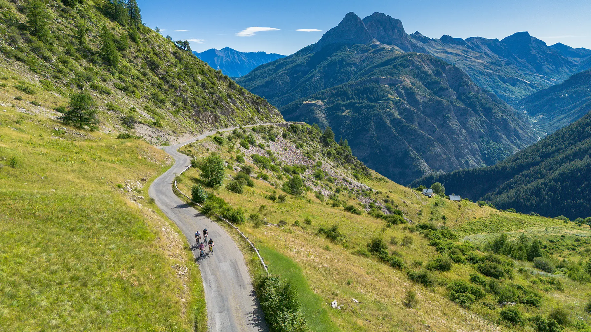
It has been climbed 34 times by the Tour de France, and the route is carved out of the rock, suspended above the Bachelard gorges.
The first power climb lasts 7km, with gradients of over 8% before the recovery flat at the hamlet of Les Agneliers.
The 7%-plus pace then picks up again without respite to the summit of the pass. Magnificent forest passages, open valleys overlooking the Pain de Sucre and the Bachelard valley, marmots and wild flowers will accompany you and fill you with wonder.
Read more