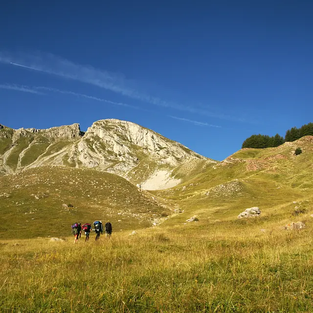
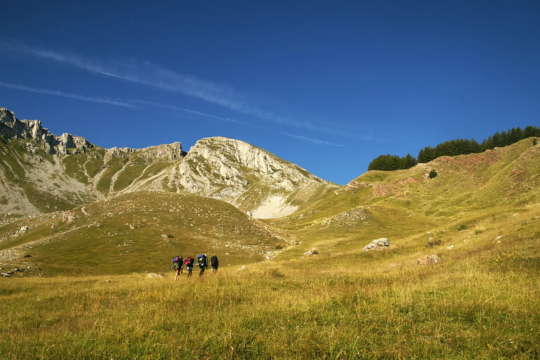
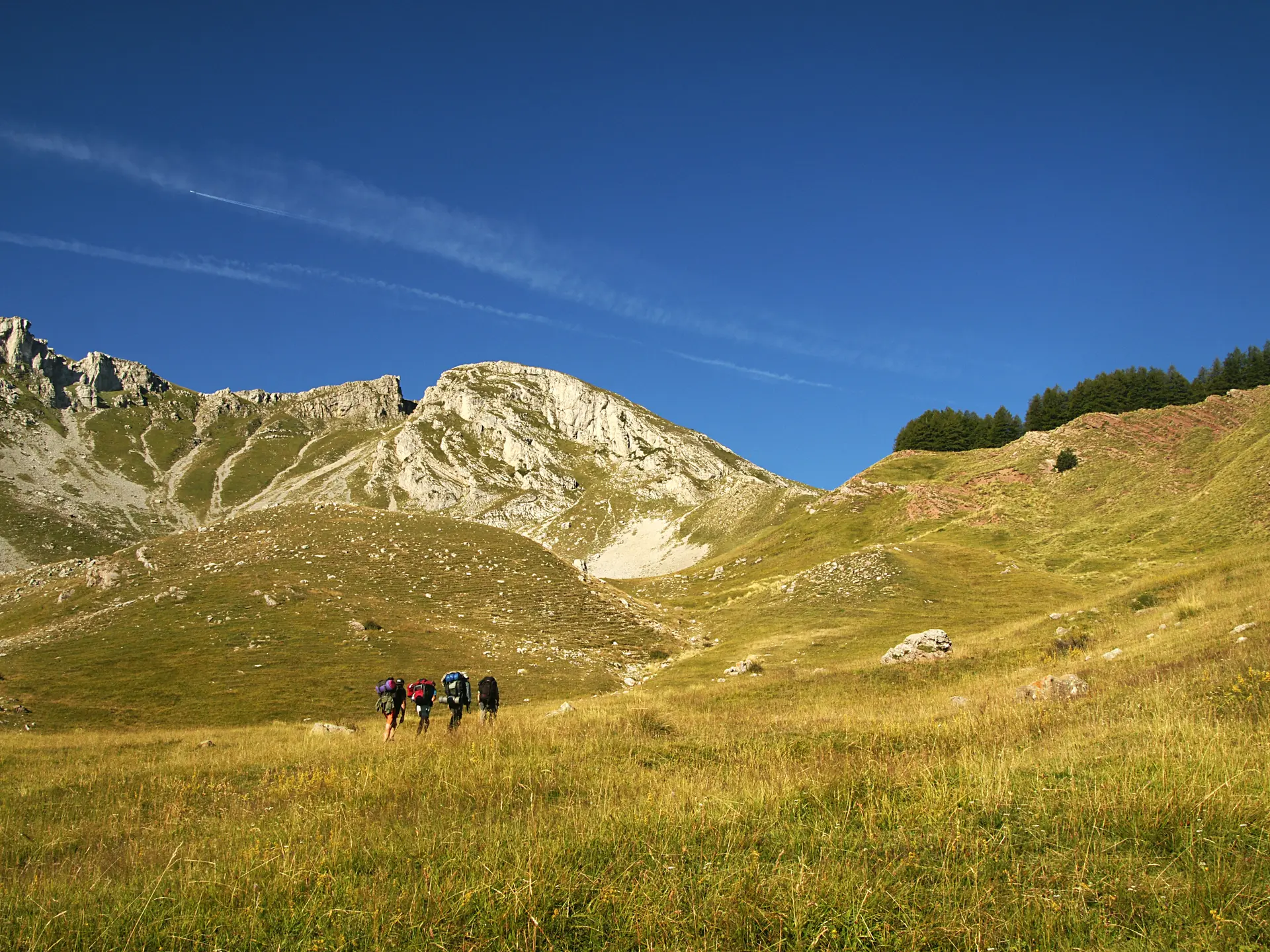
Hiking in the Monges massif. Visit the ruined village of Vaux, discover the Montagne de Chine and the Clapouse pastures. Superb views of the Monges. Fauna and flora in abundance.
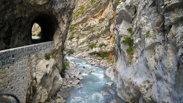
Departure: Downstream of the Barles tunnel, turn left onto the Descoure trail and follow it for 3 km. Cross the stony area and then the entire length of the hamlet of Vaux. Continue on the shaded path and further up to the right. You will reach a small plateau and continue along the edge until you reach the cross erected on a boulder. Take the left-hand track and reach the left bank of the Descoure. Continue left on the path and cross the Descoure, then climb up the right bank before crossing back to the left bank. Join the track and follow it for a short while before leaving it to descend towards the Descoure, cross it to cross back to the right bank. The path splits, continue straight ahead. At the next intersection, turn left. You will gradually climb. The path opens up at Collet de Chine and then rises behind the ruined cabin, continue slightly upstream on the left bank of the ravine. Climb up to a half-rocky, half-grassy mound and rise to the left, head right on an ascending traverse and cross a valley before continuing across to the Col de Clapouse. You will be alongside the GR6 marked in white and red. For the return, take the same path as on the outward journey.