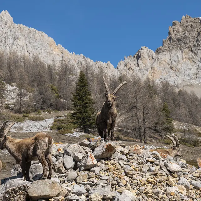
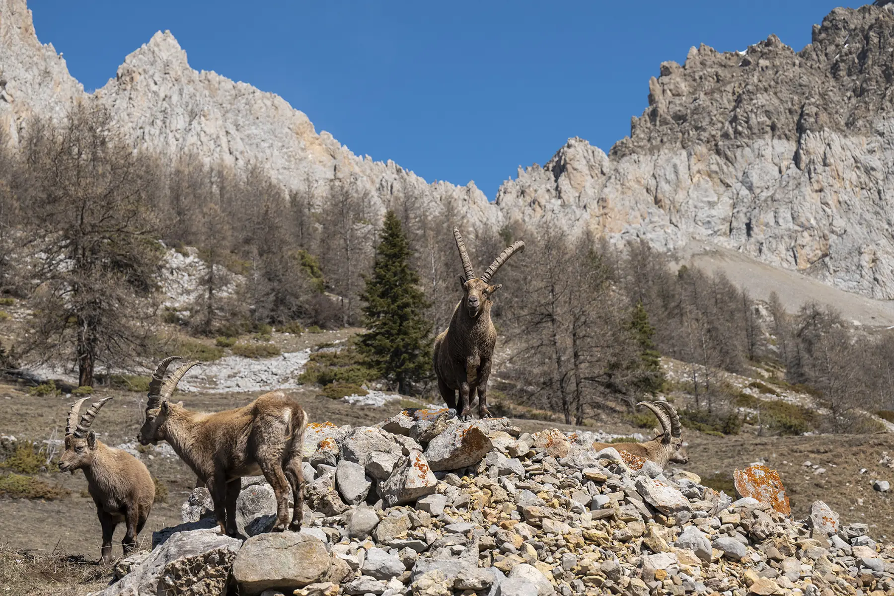
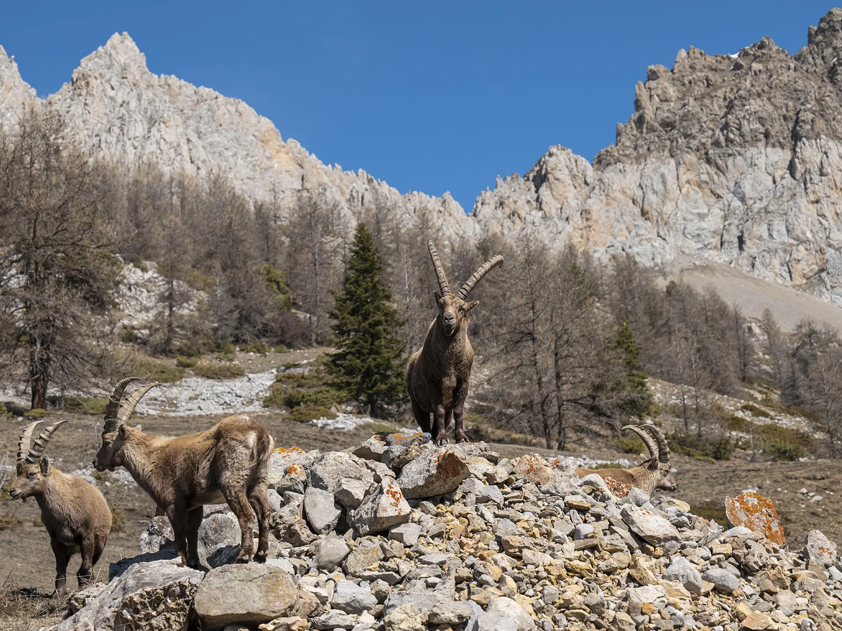
The dry southern slope, covered with deciduous trees and pines, contrasts with the humid northern slope covered with larch trees. All the diversity of the Ubaye landscape is represented on this circuit, in the land of ibex and at the gateway to the Mercantour National Park.
After passing through the flower-filled hamlet of Serre, the trail climbs rapidly to the abandoned village of Cloche and its restored chapel.
At the pass, the landscape becomes more humid and the long descent to the Baume Longe viewpoint takes you through a beautiful forest of larch trees, conifers typical of the Ubaye.
The end of the circuit offers beautiful views on this side of the Gorges du Bachelard.
Read more