- Voir les favoris
See photos (5)
Col de la Bonette
Sport, Cycling sports, Cycle tourism route
in Jausiers
31.3
km
-
Pedal on France’s highest paved road.
Reaching by bike the top of the Col de la Bonette at 2,802 m altitude is a challenge of 32 km, but it is worth it! -
To get there, take the road linking the Ubaye and Tinée valleys, right in the heart of the Mercantour National Park.
This is the highest tarmac road in France, linking the Mediterranean to the Alps in its entirety.
Along the way, you'll spot old military barracks and huts. And once you reach the top, you'll be dazzled by the exceptional view and the breathtaking panorama over the valleys.
The climb is long, intense and selective, culminating in the Tour de la Bonette with its 14%...To get there, take the road linking the Ubaye and Tinée valleys, right in the heart of the Mercantour National Park.
This is the highest tarmac road in France, linking the Mediterranean to the Alps in its entirety.
Along the way, you'll spot old military barracks and huts. And once you reach the top, you'll be dazzled by the exceptional view and the breathtaking panorama over the valleys.
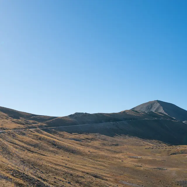
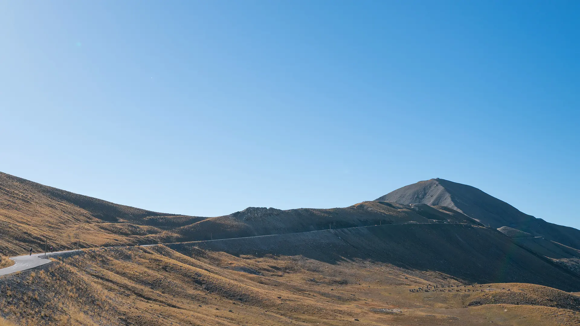
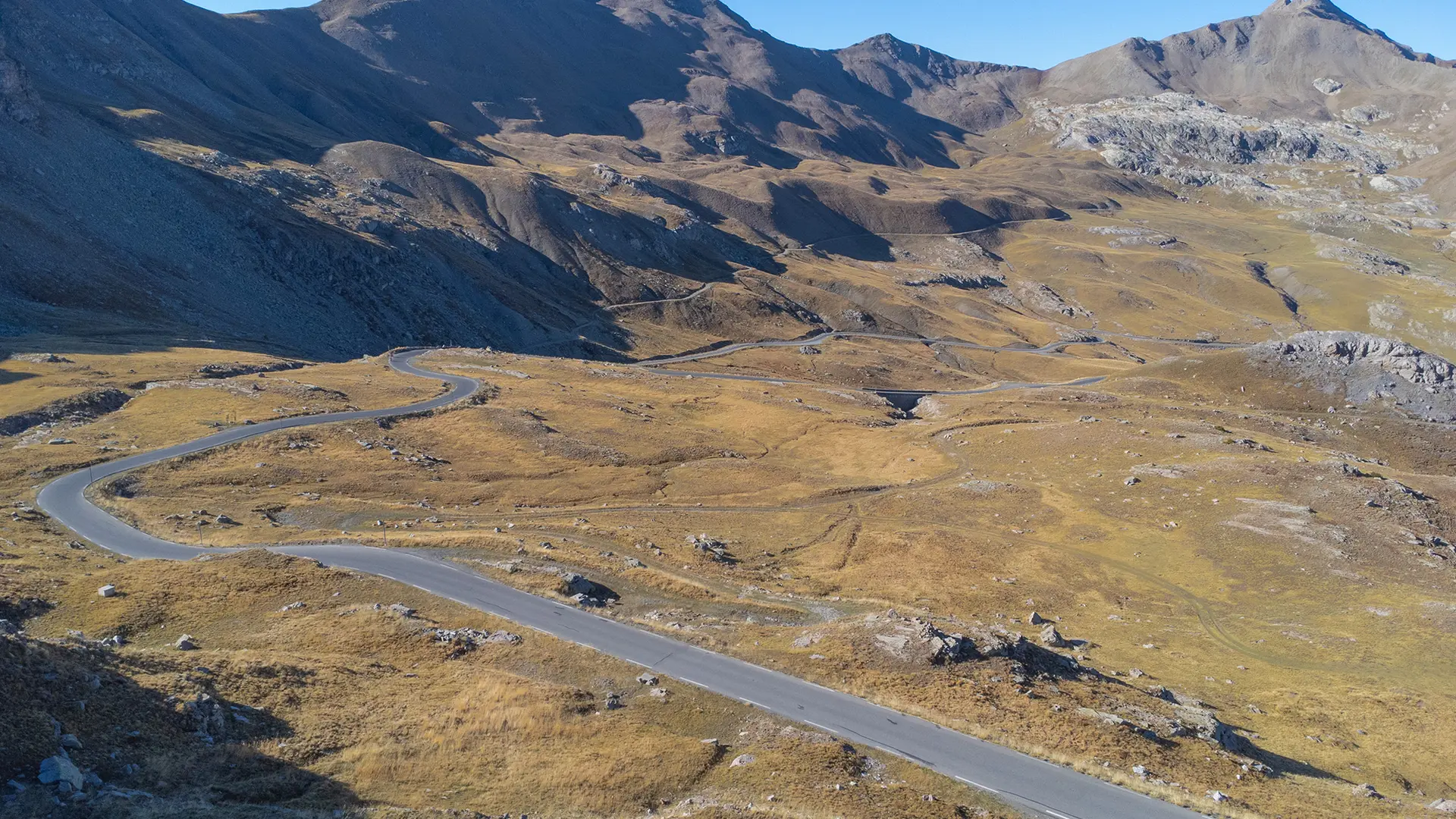
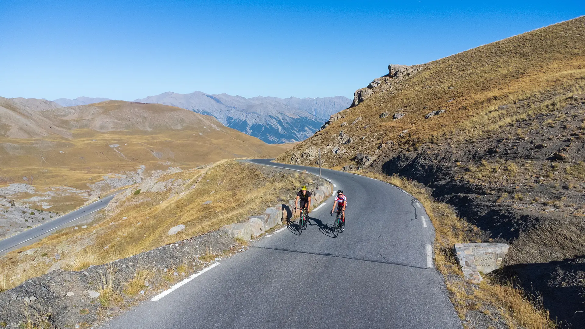
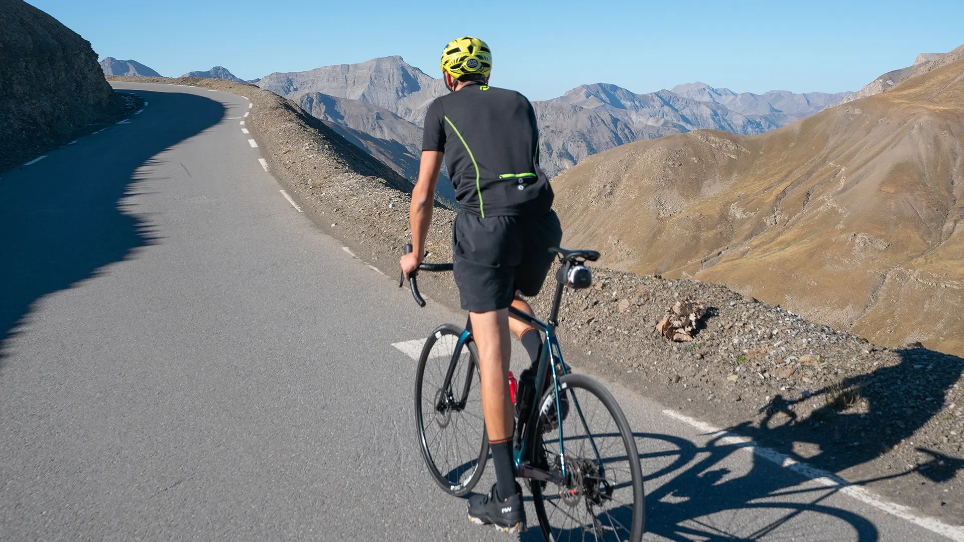
The climb is long, intense and selective, culminating in the Tour de la Bonette with its 14% gradient.
The road surface is a perfect ribbon of asphalt. The cyclist pedals through magnificent scenery, with the last few kilometres taking in the mineral landscape of the high mountains.
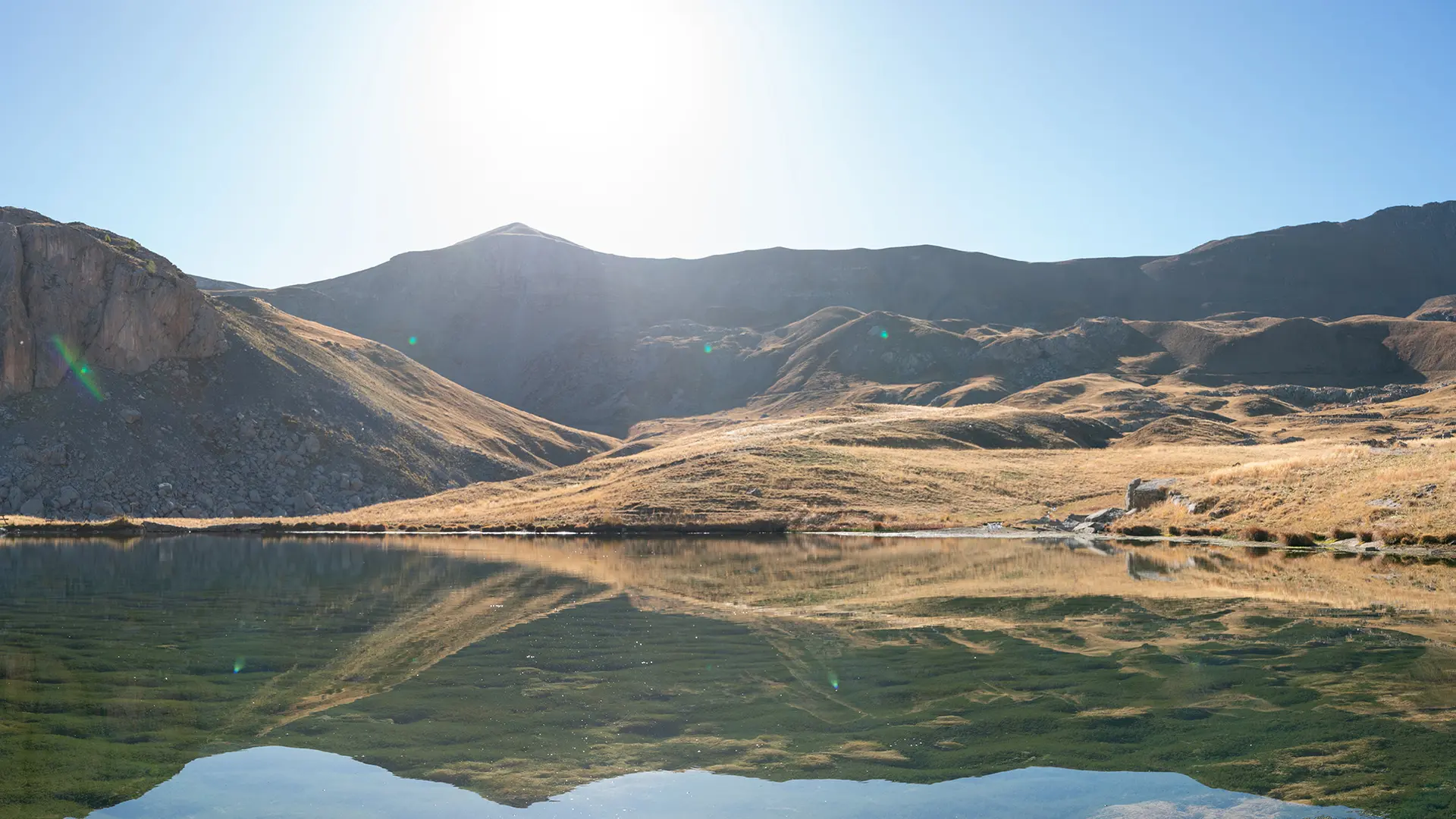
The route winds its way through the Mercantour National Park, a route of limitless discovery: fauna, flora, pastoralism, mountain lakes, military heritage, forts...
At the summit, take advantage of the orientation table to find your bearings or simply sit back and contemplate.
- Departure
- Jausiers
-
-
Difference in height
- 1716.45 m
-
-
-
Plain text rates
- Free access.
-
-
-
Documentation
- GPX / KML files allow you to export the trail of your hike to your GPS (or other navigation tool)
-
- See all reviews
- 1716 meters of difference in height
-
- Maximum altitude : 2716 m
- Minimum altitude : 1138 m
- Total positive elevation : 1716 m
- Total negative elevation : -202 m
- Max positive elevation : 318 m
- Min positive elevation : -37 m
