Col de la Cayolle à vélo

Col de la Cayolle

Sport, Cycling sports, Cycle tourism route in Uvernet-Fours
29.6 km
  • Nature is king in the Ubaye Valley.
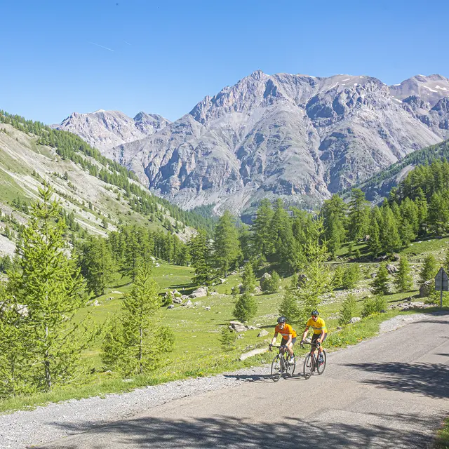
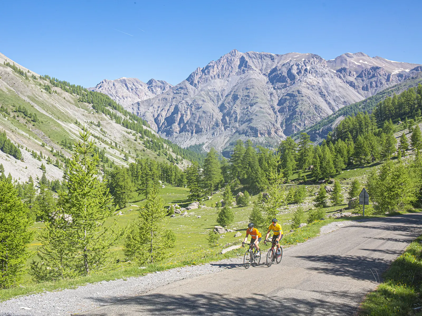
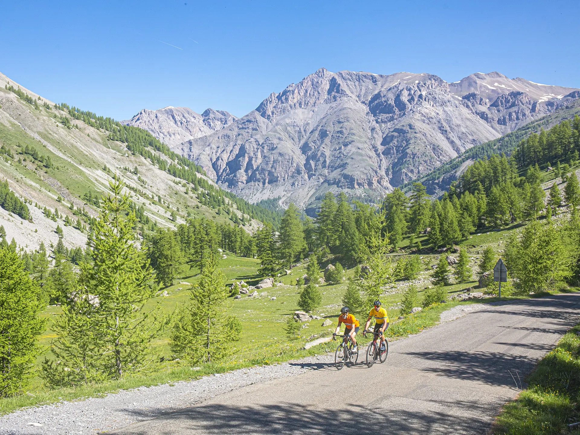
    Head off on an adventure on one of France’s most stunning passes: the Col de la Cayolle. From the top of its 2,326 m, its ascent is ranked among the 30 most beautiful climbs in Europe by “Le Cycle” magazine.

  • An authentic, ‘old-fashioned’ route that follows the mountain side to the summit of the pass over a total distance of 29km, passing through the Mercantour National Park.

    The road winds its way up the mountainside along the course of the Bachelard, wedged between the narrow gorges of the torrent.

    It then twists and turns up to Bayasse before tackling the mountain in earnest. There are still 9km of twists and turns at 7% to swallow, through the mountain pastures.

    You're guaranteed to...
    An authentic, ‘old-fashioned’ route that follows the mountain side to the summit of the pass over a total distance of 29km, passing through the Mercantour National Park.

    The road winds its way up the mountainside along the course of the Bachelard, wedged between the narrow gorges of the torrent.

    It then twists and turns up to Bayasse before tackling the mountain in earnest. There are still 9km of twists and turns at 7% to swallow, through the mountain pastures.

    You're guaranteed to be amazed on this 100% nature trail through winding roads, forests, waterfalls and hamlets.

    Admire the alpine meadows and the animals that rule the mountain, with marmots rumoured to be faithful supporters!
  • Departure
    Uvernet-Fours
  • Difference in height
    1537.89 m
  • Plain text rates
    Free access.
  • Documentation
    GPX / KML files allow you to export the trail of your hike to your GPS (or other navigation tool)
1538 meters of difference in height
  • Maximum altitude : 2330 m
  • Minimum altitude : 1127 m
  • Total positive elevation : 1538 m
  • Total negative elevation : -346 m
  • Max positive elevation : 132 m
  • Min positive elevation : -72 m