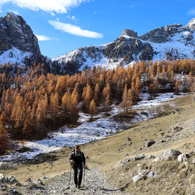
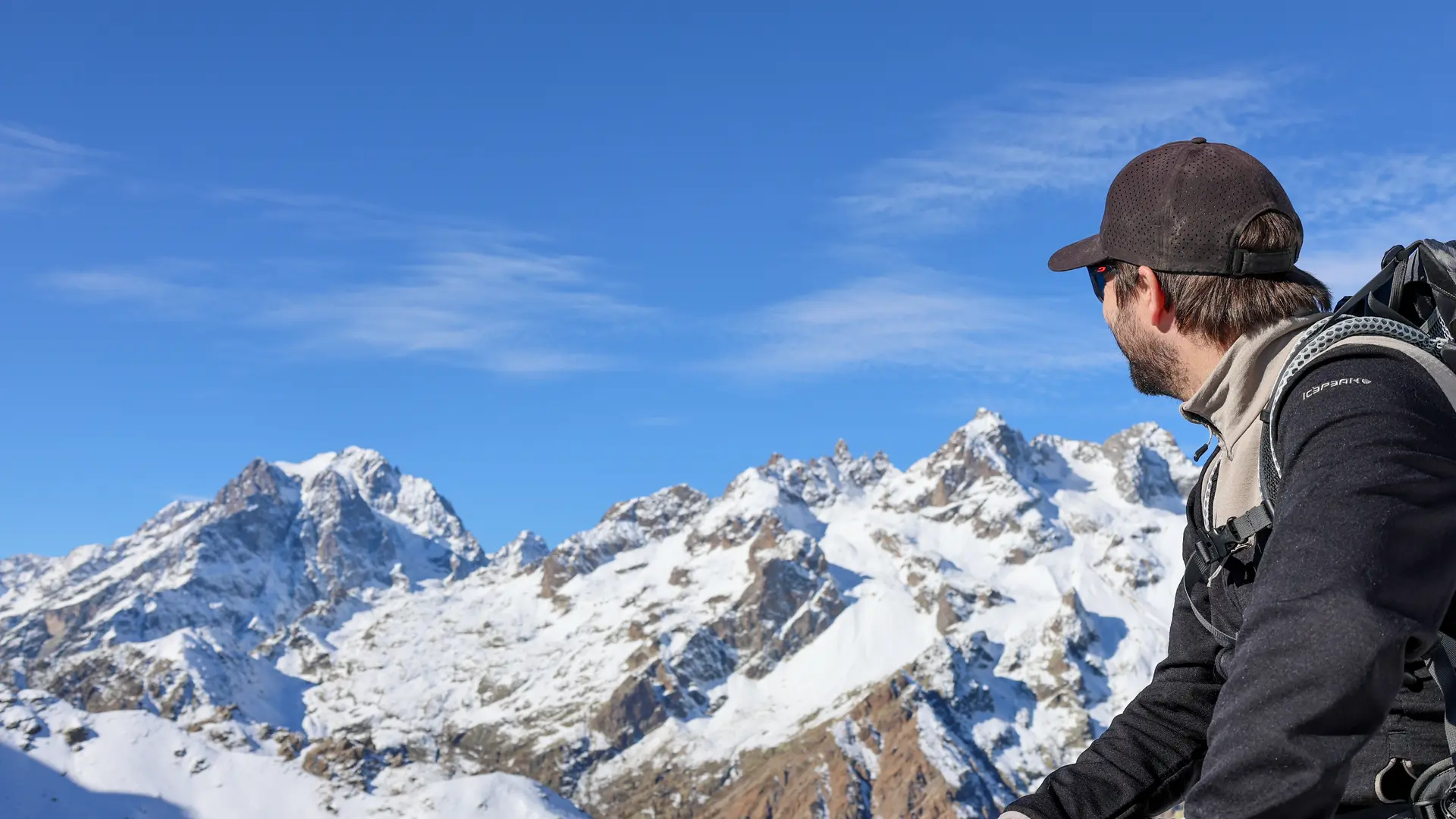
In the heart of the Parias reserve, an exceptional jewel in terms of biodiversity and landscape, this low-level hike takes in the vast Partias valley and brings you face to face with numerous alpine animals: marmots, sheep, birds of prey...
Park in the parking lot just beyond the hamlet of Les Combes.
Continue along the dirt track to cross the barrier marking the entrance to the Partias Regional Nature Reserve. A descriptive sign explains the regulations in force and the specific features of this reserve.
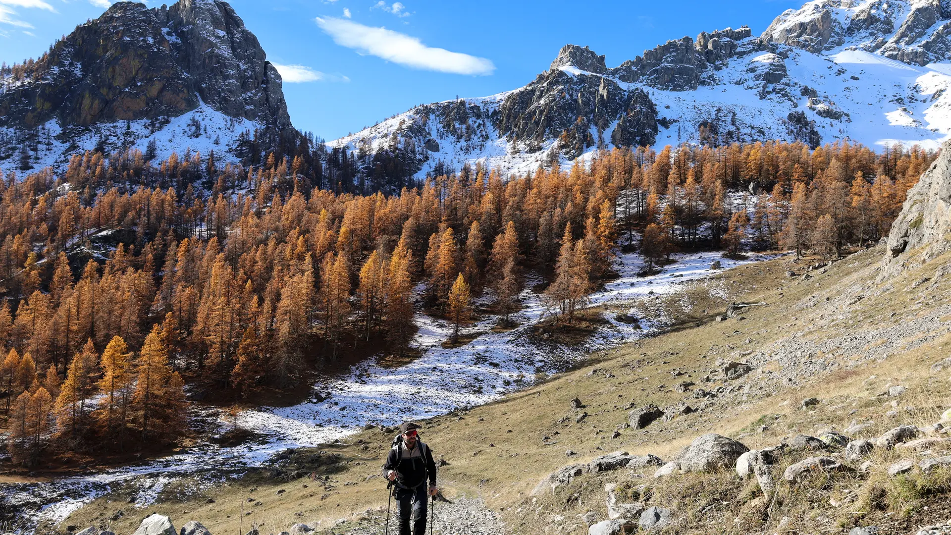
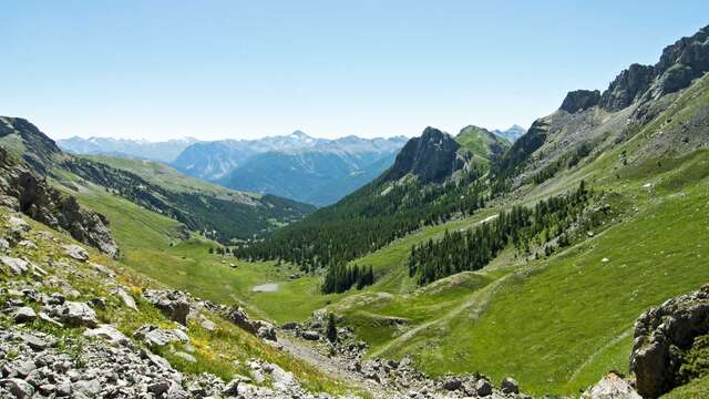
Continue straight ahead into the heart of the Partias via the forest track for 600 metres, then head towards Lac des Partias on a stone-paved alpine pasture path.
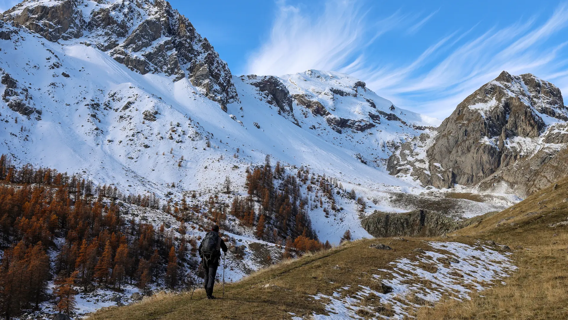
A flat area marks the arrival at a sheepfold and the Lac des Partias. Go around the sheepfold, then the path rises to the right and crosses a large alpine meadow (Melivrin ravine) to finally reach the shepherd's hut.
On the right, in the heights, you can see the paravalanche slopes of the Serre Chevalier resort.
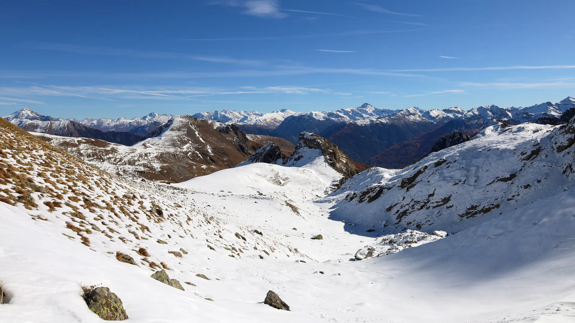
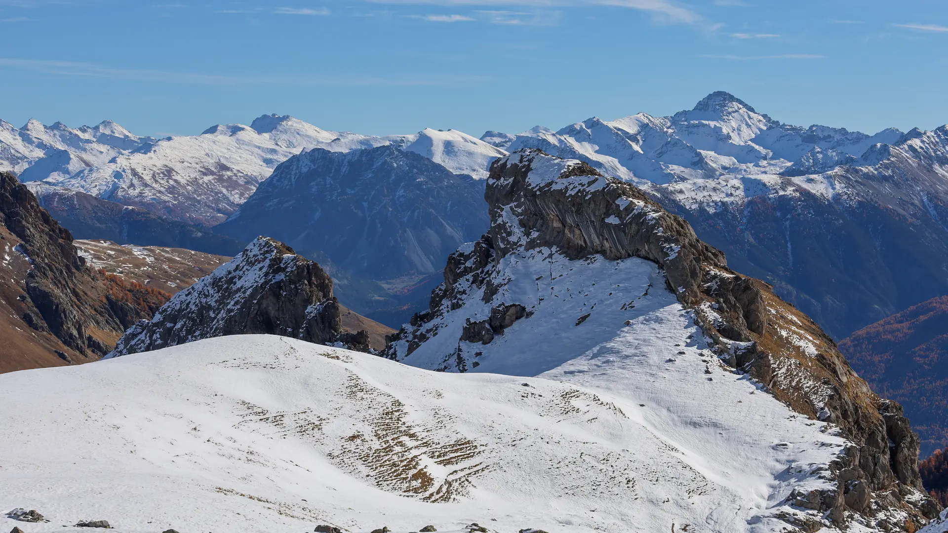
Continue past the shepherd's hut: the path veers slightly to the right and reaches the Col de la Pisse 300 metres further on. A panoramic view of the Écrins opens up, with the Pic de Clouzis in the foreground. Return by the same route.
To preserve this area, Regional Nature Reserve staff are responsible for enforcing regulations and advising all users. Surveillance is also carried out by the various bodies responsible for environmental policing: agents from the ONF, ONCFS, ONEMA, DDT and Gendarmerie.
A visit to the reserve with one of our partner mountain guides is highly recommended: it will give you a better idea of the site's biodiversity.
Savoir Vivre en Réserve :
- Stay on marked trails
- Keep your dog on a leash
- Picking forbidden
- Bring your own garbage
- Camping and fires prohibited, bivouacs authorized
- Motor vehicles prohibited
- Avoid any noise likely to disturb wildlife
In summer, patous and sheepdogs may be present on this itinerary.