The route starts at the entrance to the « RECOUMERE » car park in the Puy Saint-Vincent 1800 resort near the Résidence Le Parc Aux Étoiles. It starts on the road, then straight on at the hairpin along a track above the buildings.
Turn off this track onto another track leading left towards the Escapade chairlift ("Télésiège de l'Escapade") and the start of the summer toboggan run
At the crossroads in the tracks, turn right towards Les Tournoux
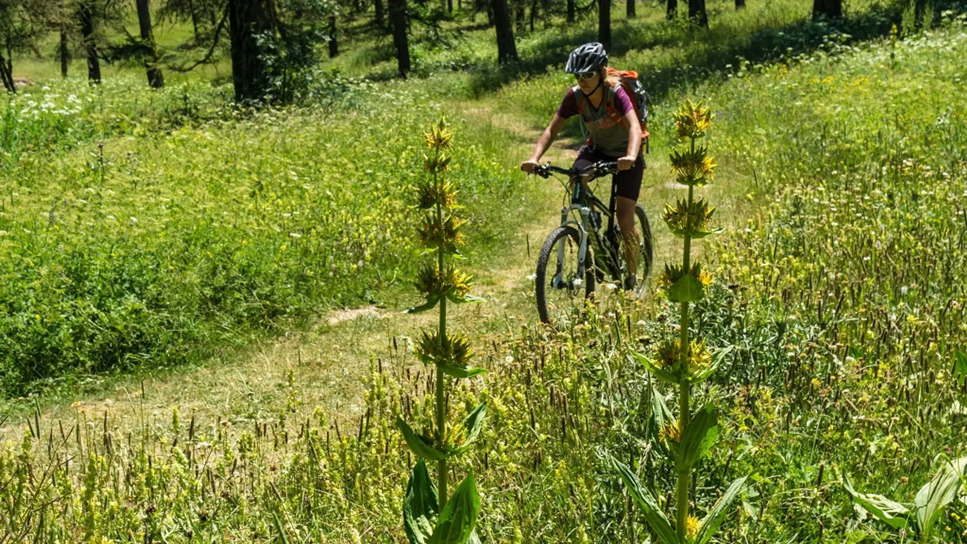
Head left towards the Plateau de la Pousterle
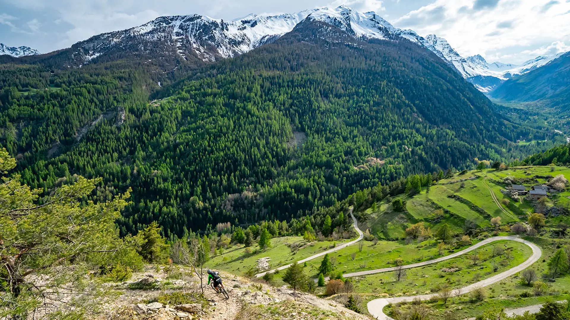
At the end of the track, go right towards the Col de la Pousterle
When you reach the pass, turn back on yourself and follow the circuit in the opposite direction, returning to your starting point
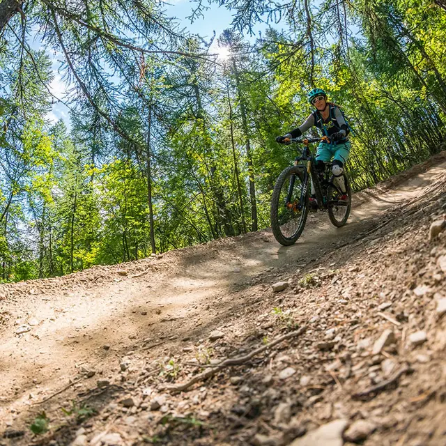
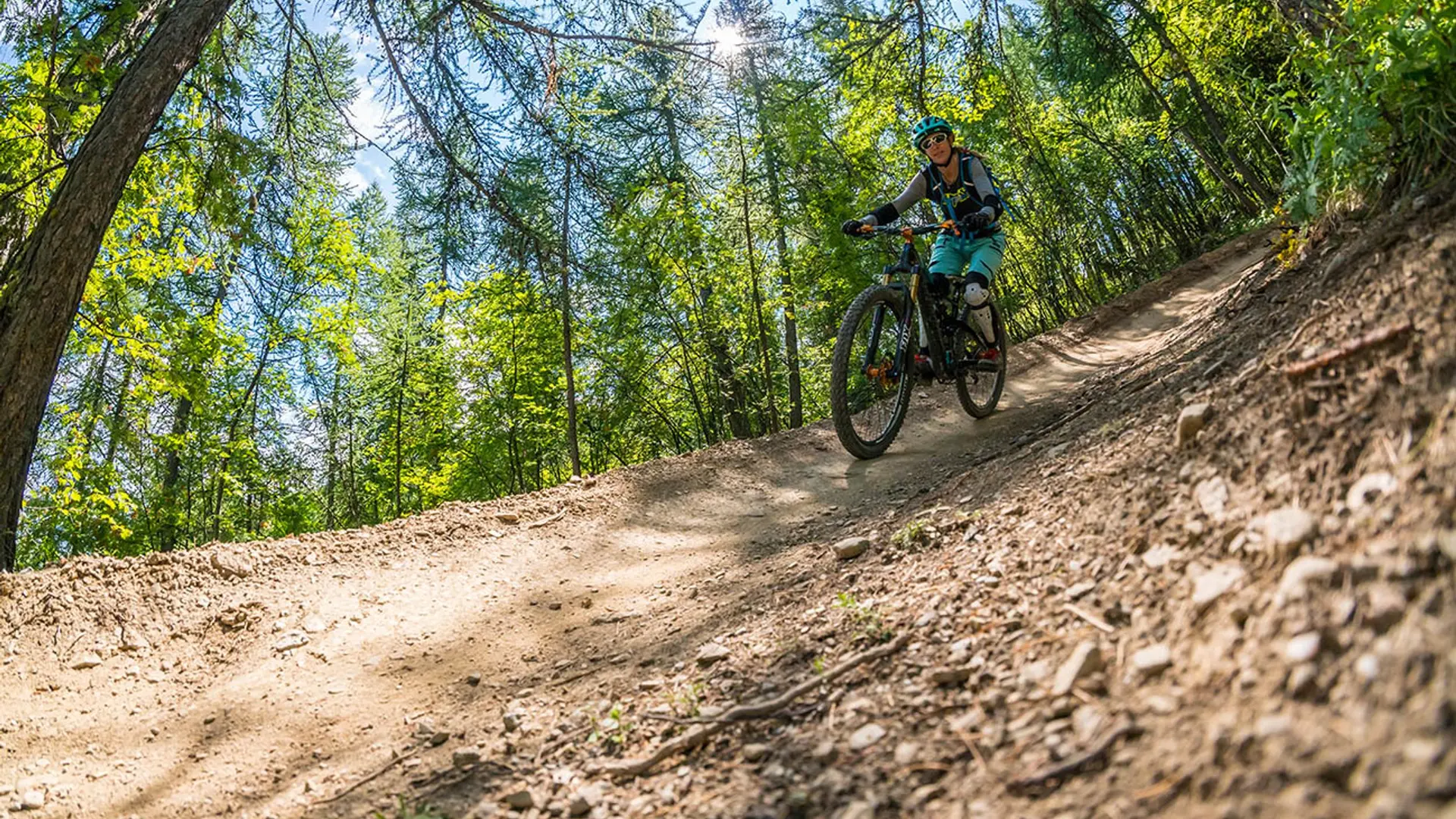
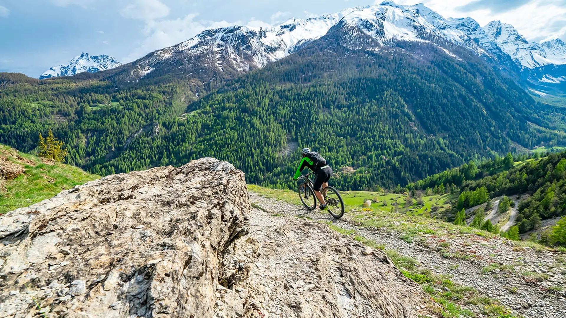
Easy
Read more