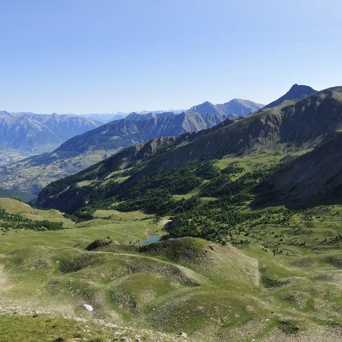
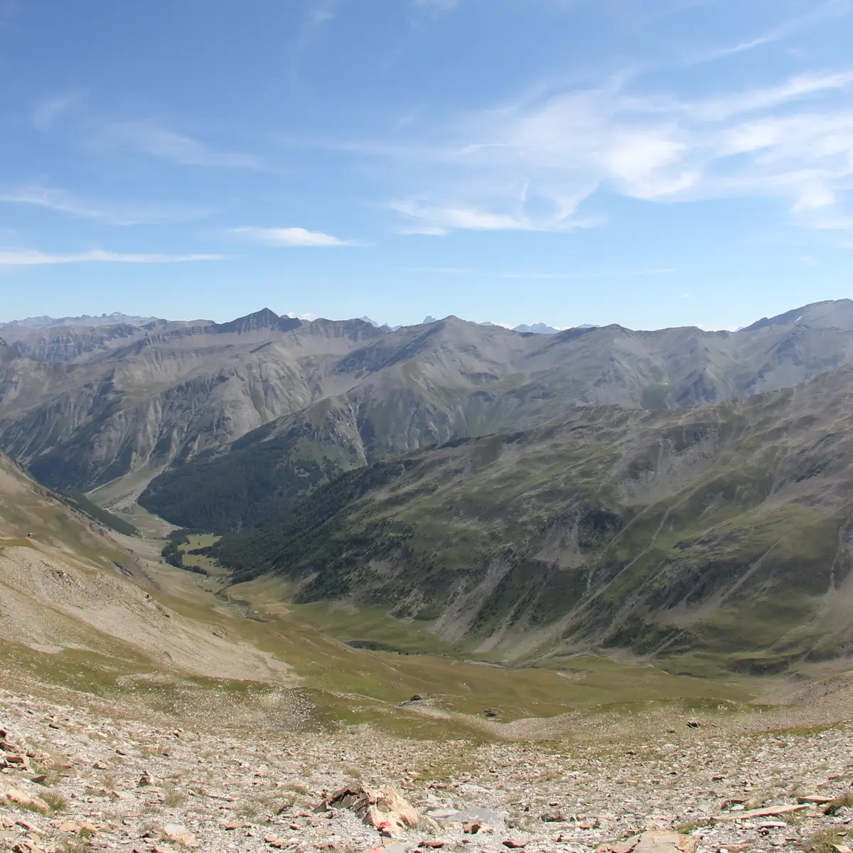
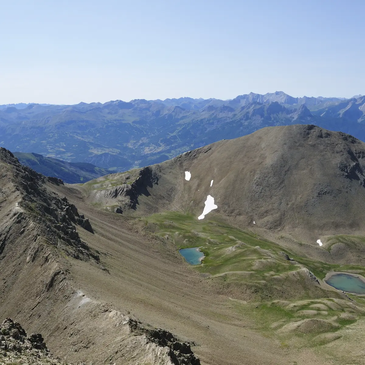
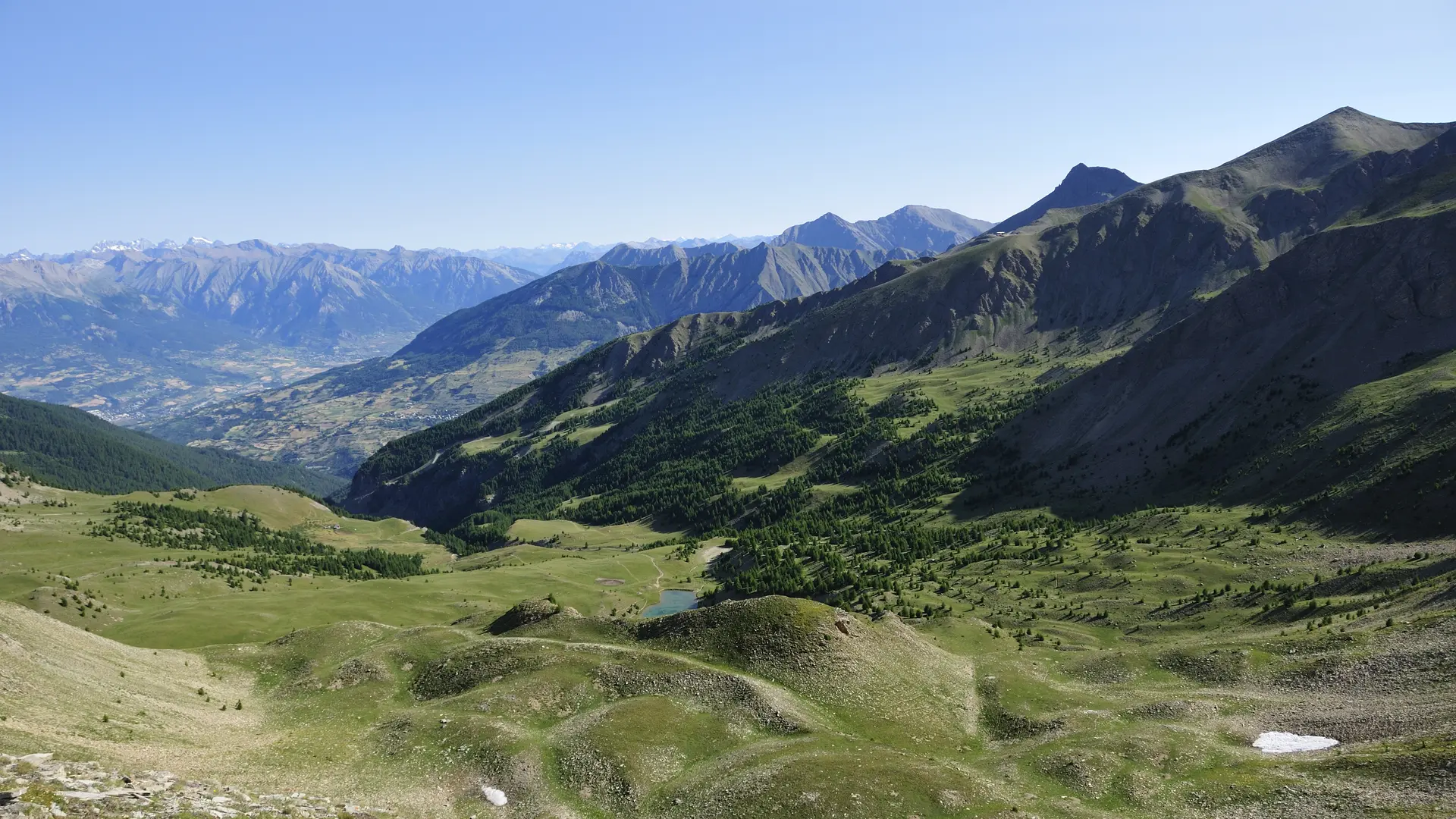
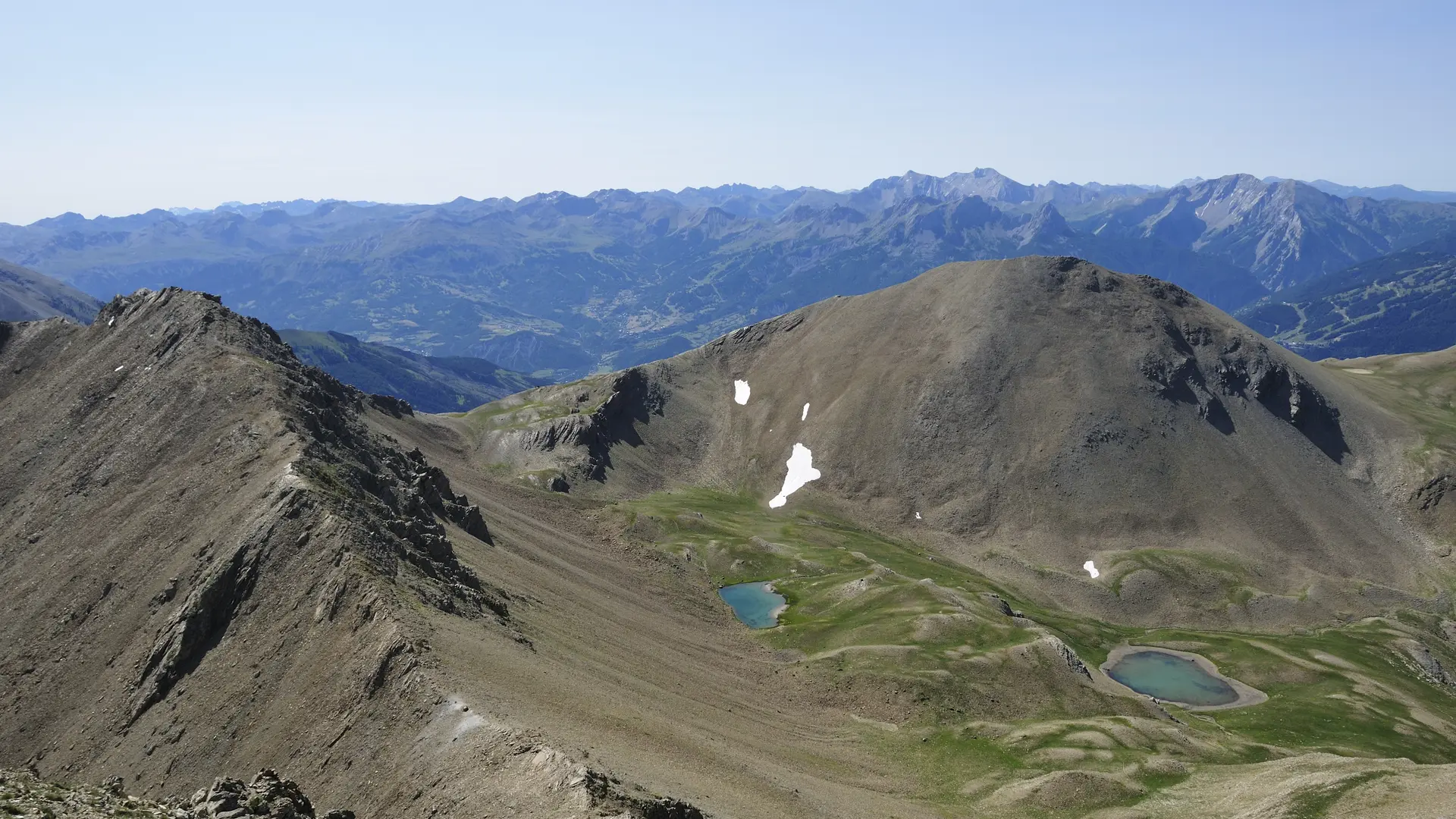
Starting from the lake (remember to add the time, distance, and elevation gain to the lake), hike through a beautiful valley to reach a panoramic view at Col de l’Âne, Côte Ronde, or for the more experienced, the Pic du Silhouraïs.
➡️ START:
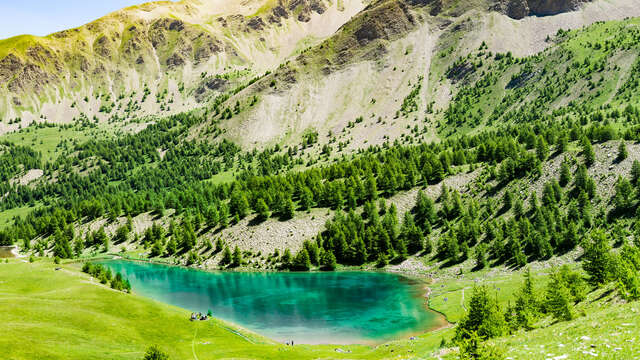
You will first need to reach Lake Sainte-Marguerite via one of the suggested routes (and therefore add up the time, elevation gain, and distance).
➡️ ROUTE:
- To Col de l’Âne: 3.4 km / 1h45 / +290 m
The most accessible of the three options. From the lake, take the path to the right through the pastures. The trail skirts a rocky ledge and ascends into the valley.
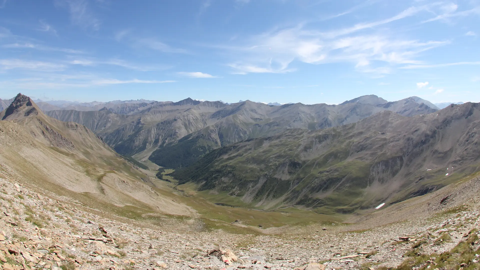
Upon reaching the scree slope, a series of switchbacks leads to the pass. At the top: a stunning panorama of the Ubaye Valley.
Return via the same route.
- Côte Ronde: 5.4 km / 3h30 / +500 m
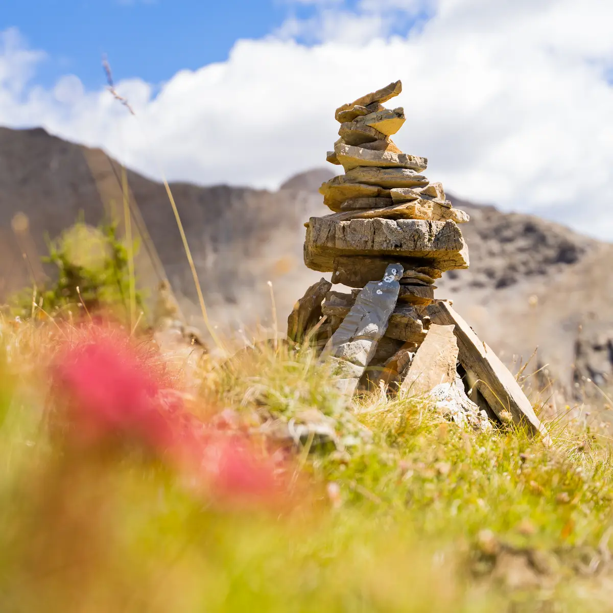
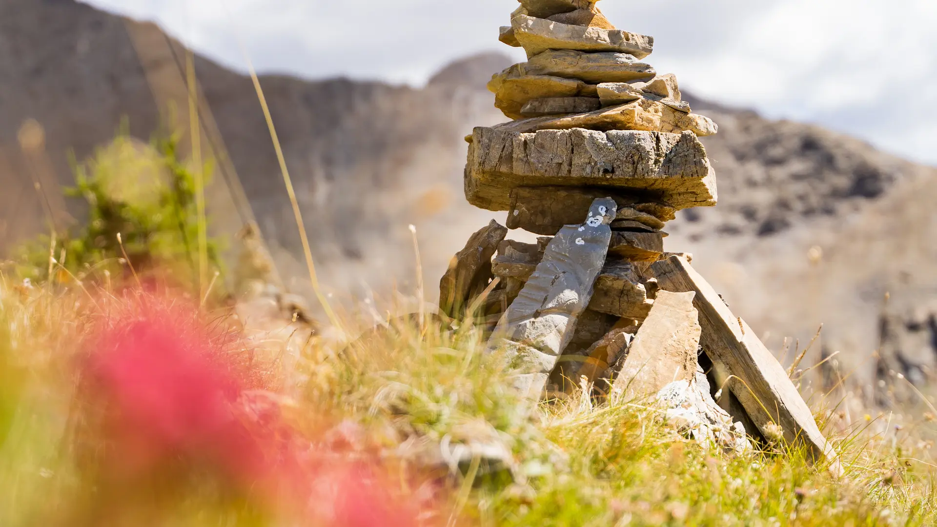
From Col de l’Âne, follow the ridge to the right. It gradually narrows until reaching the summit of Côte Ronde (Costa Rouenda), marked by a large cairn.
- Pic Silhouraïs: 7.4 km / 4h30 / +610 m
From Côte Ronde, continue along the ridge to reach Pic Silhouraïs.
⚠️ Strongly discouraged for hikers with a fear of heights.