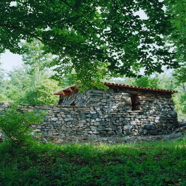
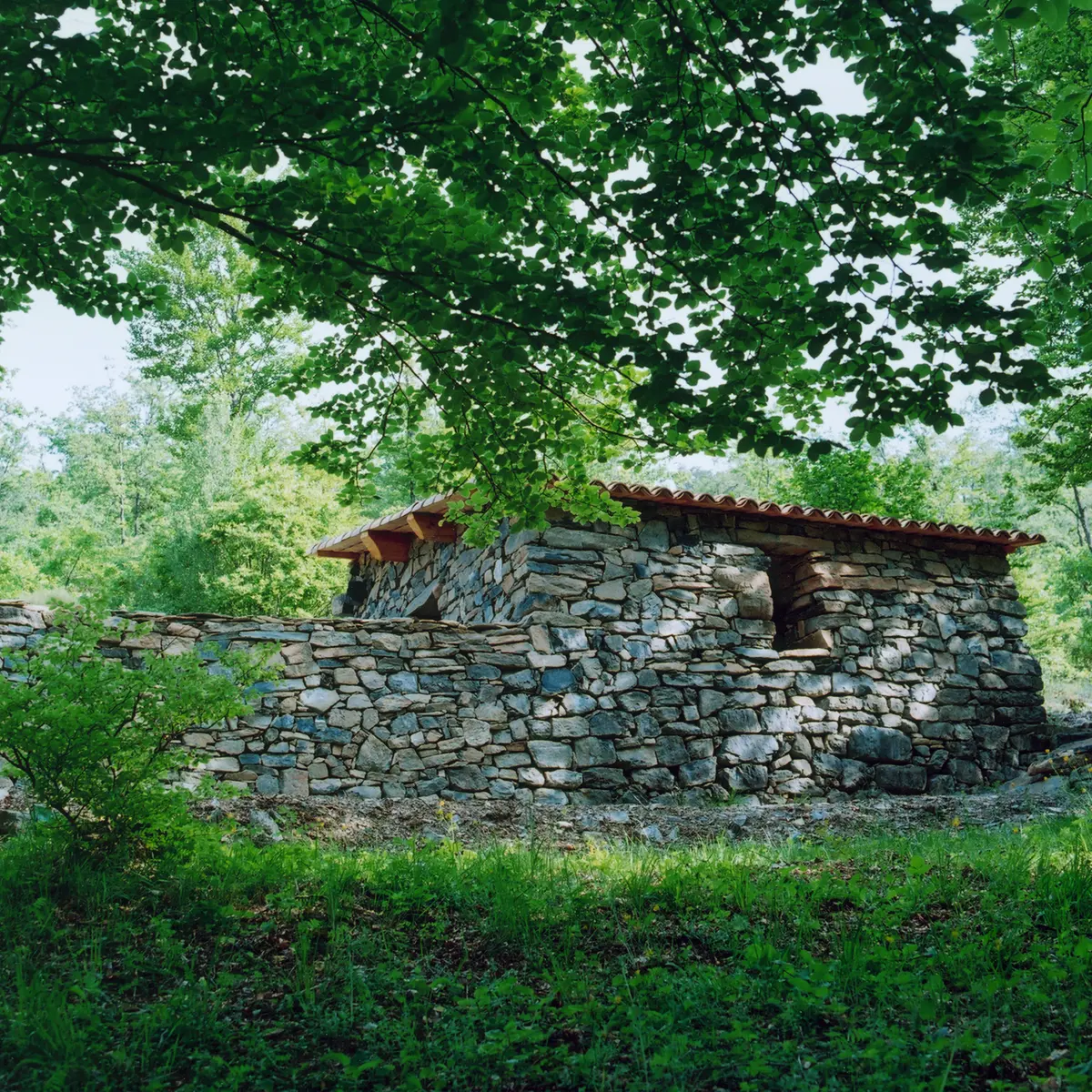
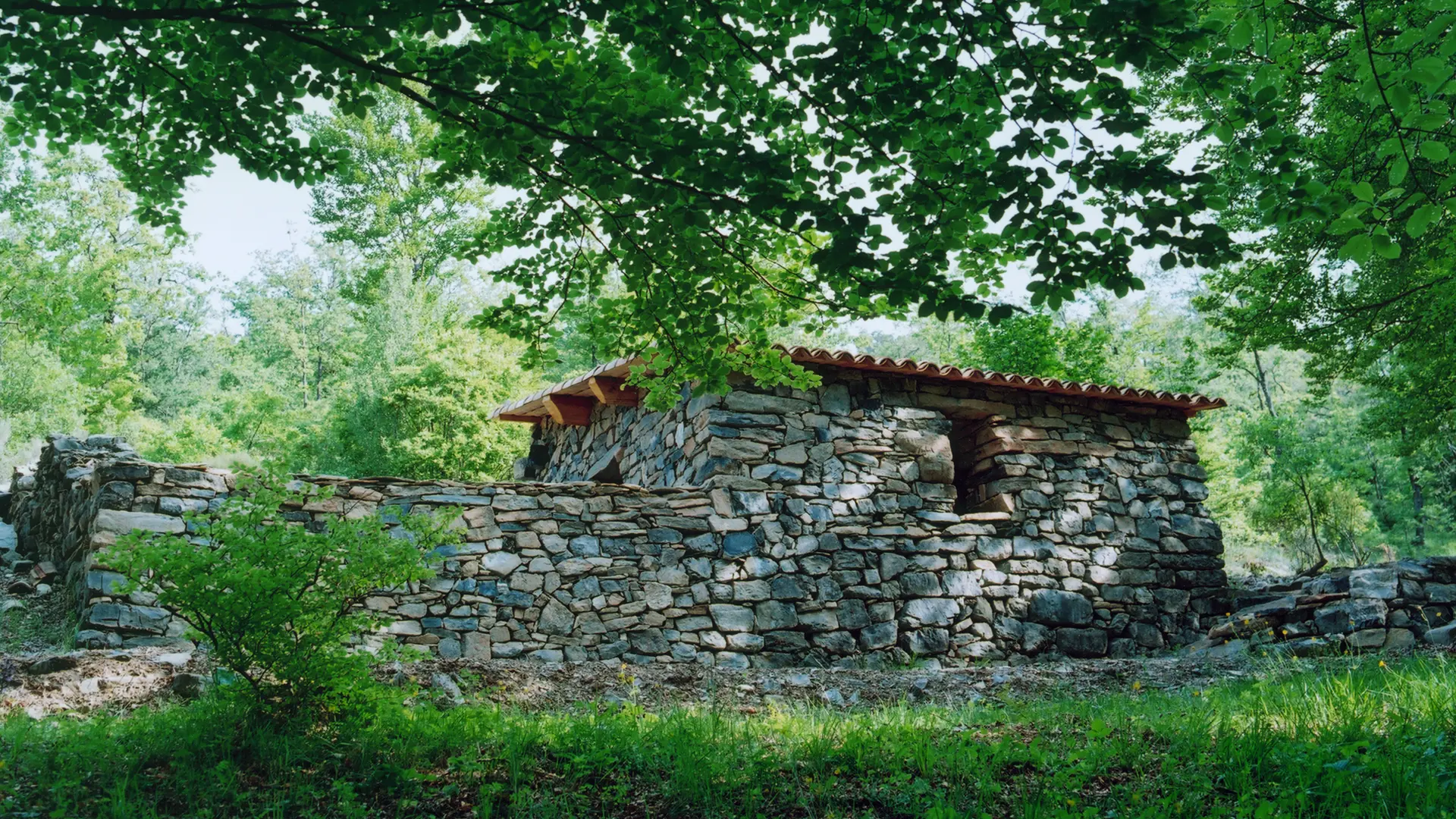
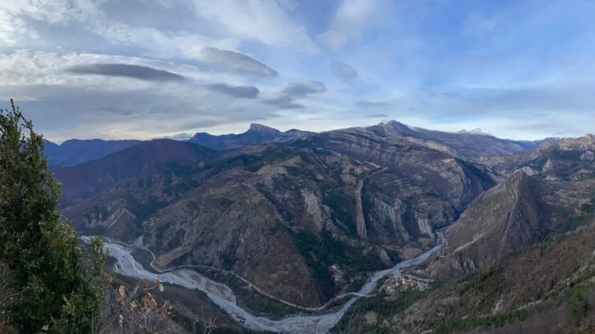
This hike leads to the Belvédère d'Esclangon and the Col de l'Escuichière where there is an Art Refuge by the artist Andy Goldworthy. The route begins in the Bès valley and takes a winding path through clay soils to the pass.
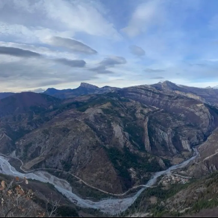
Take the D900 towards Barles, to the village of Esclangon (25 min from Digne-les-Bains). At the foot of the village, after the green bridge, turn right onto the road that winds past the houses. Park on the flat ground before the start of the rocky track. Continue on foot on the track for 600 m. Take a small path on the right that climbs into the red clay. The single path climbs steeply through the Aiguebelle forest to the pass. Go down the other side for 100 m and turn off onto
the left. We join a wider track below where the Refuge d'Art is located.
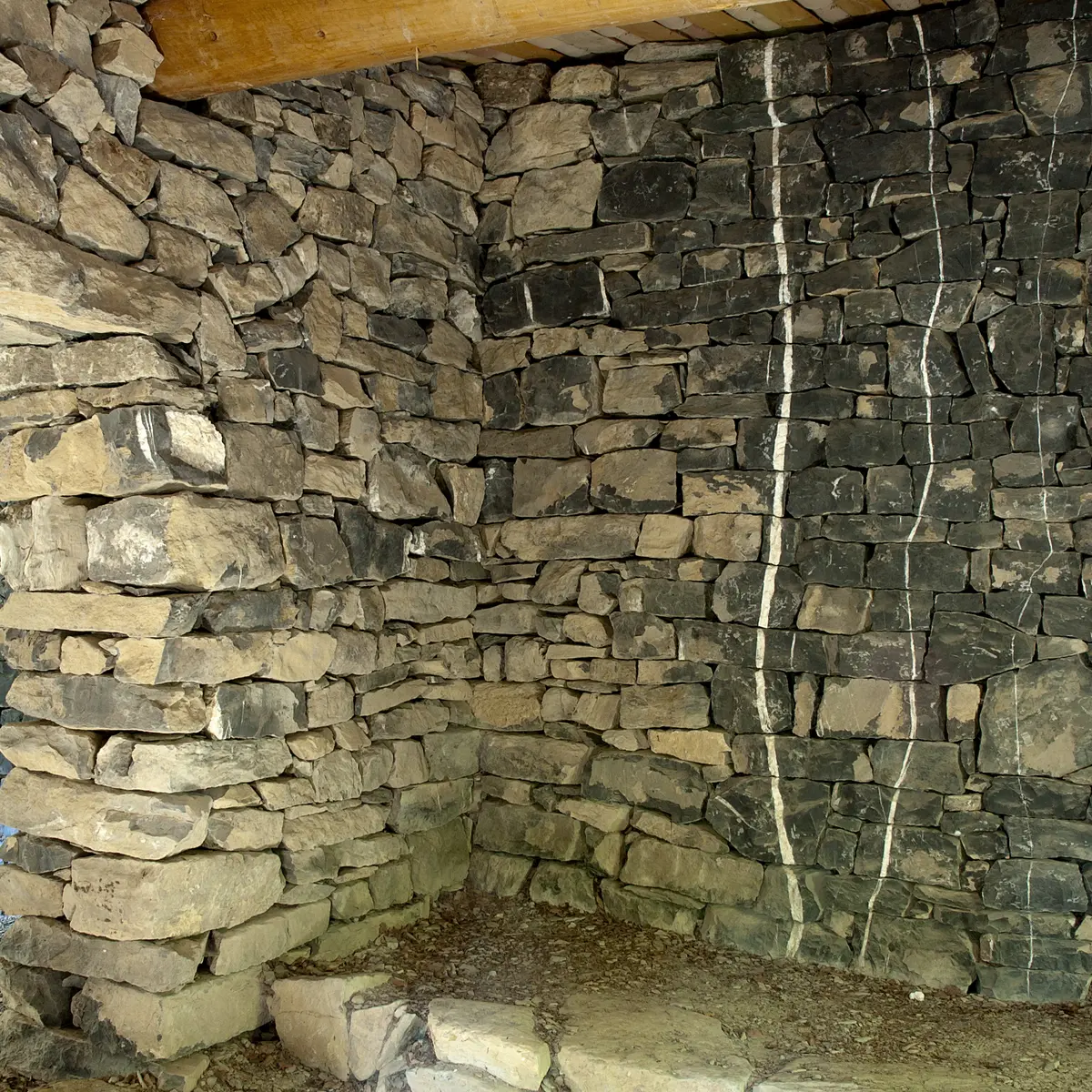
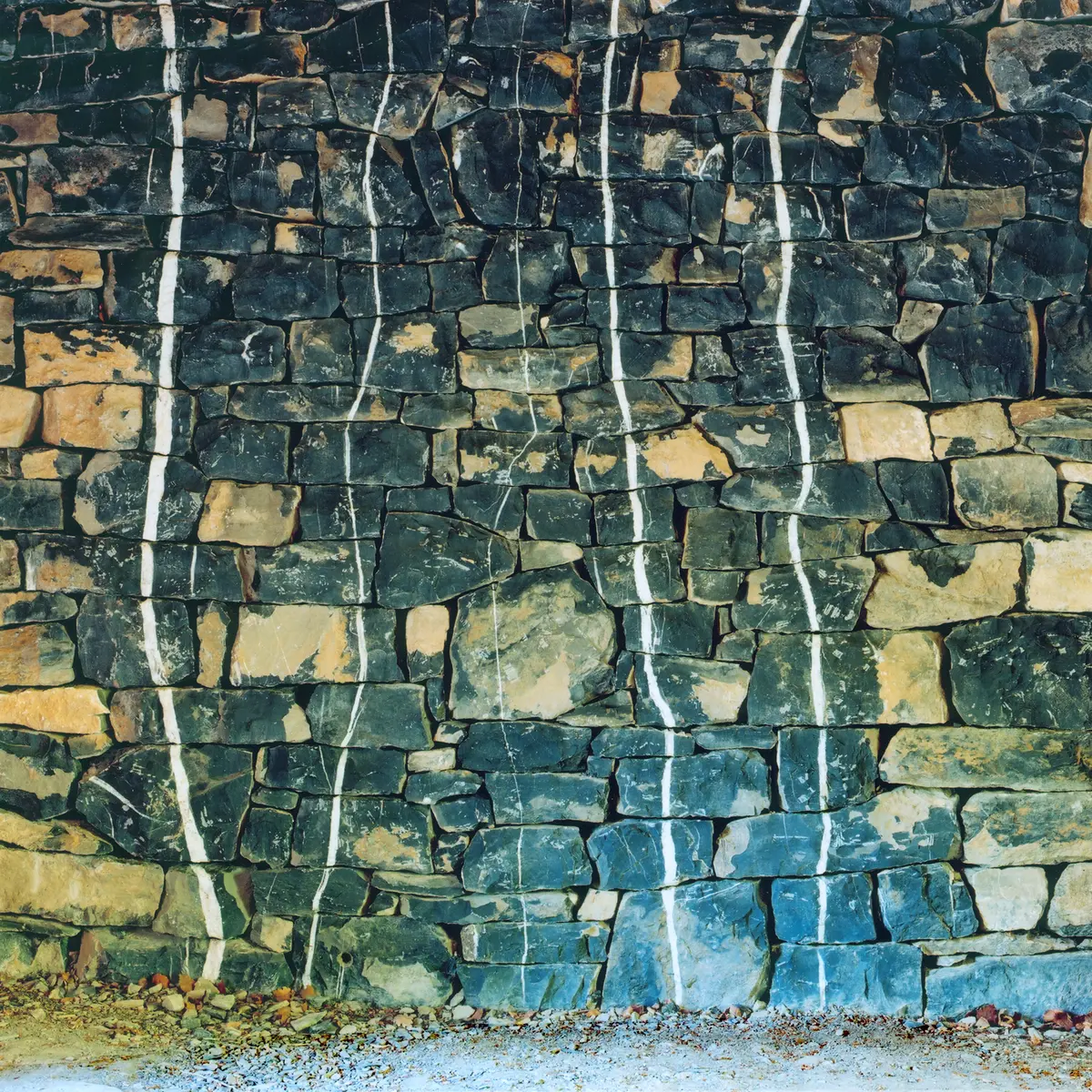
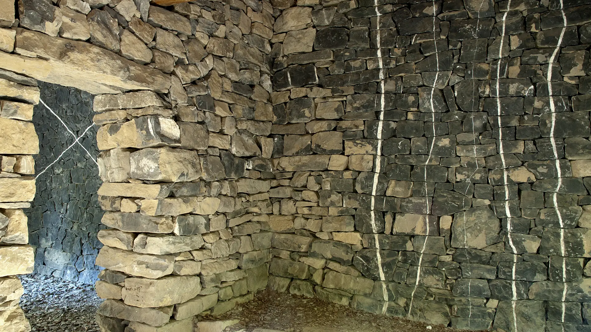
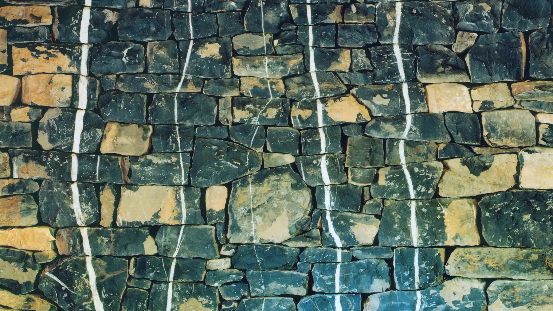
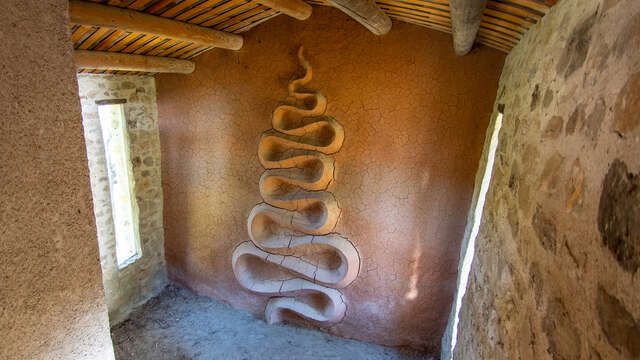
Fascinated by the black stones veined with white (calcite) found at the edge of the site, Andy Goldworthy created two works from this material, seeking through a meticulous assembly of these stones to draw lines of flow.
“Whatever I undertake, I try to understand not only the stone or the leaf but this flow of life, death, decay, energy present in the material. A river is the very expression of flow, connection and movement and I feel the need to find the river in a tree, in a stone. I think that here this sculpture is an attempt to find the flow, the water, in the stone. It is a line of energy, movement and flow.”
Andy Goldsworthy