Head south through the village to join a track that you follow for 3.2km.
Turn left onto a less well-marked track which, after crossing the torrent, becomes very stony for 2km.
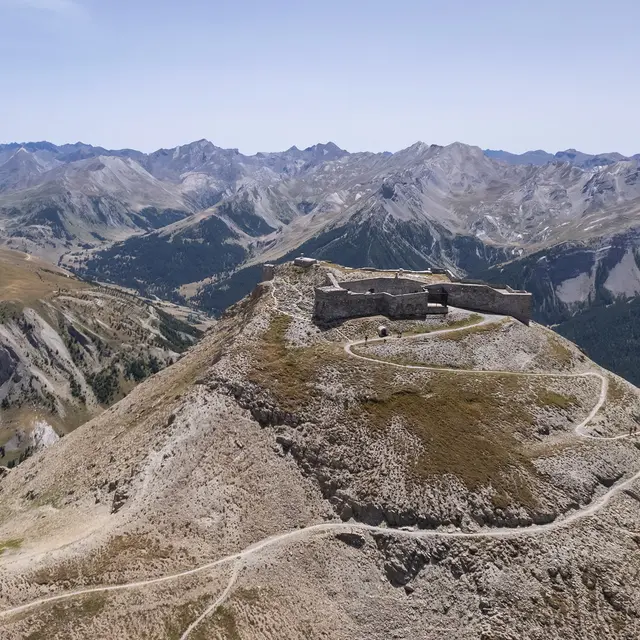
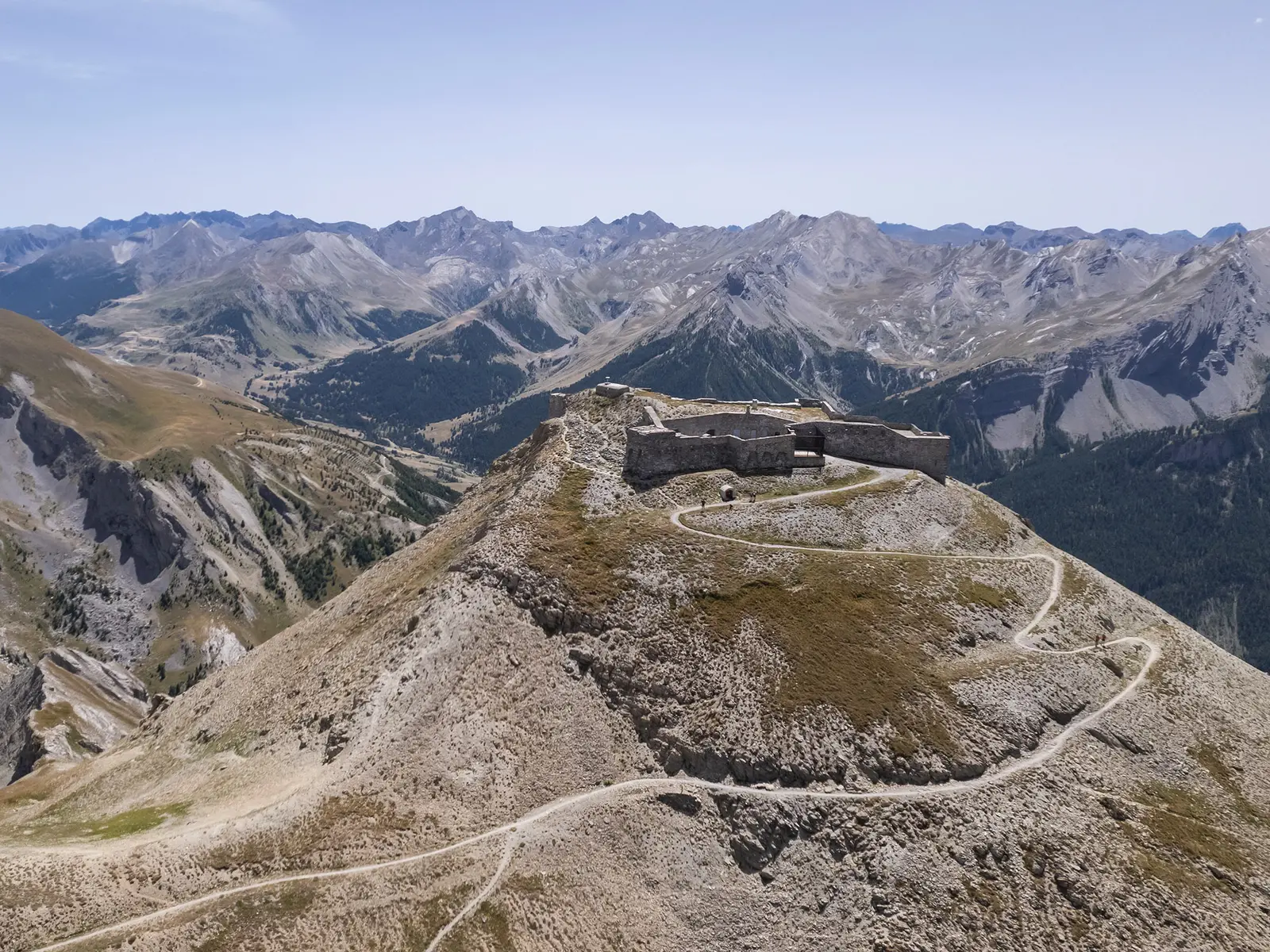
After another ford, continue on this track for 2.6km to the Viraysse barracks, then to the Col de Mallemort 500m further on (steeper).
Return via the same route, or via the PR towards Larche (very technical at first) then right towards Saint Ours.
Variation: return journey from the pass to the Viraysse battery via the old military track. Panoramic views are guaranteed, but the climb is a little steep.
Read more