From the starting point at Le Chazelet (1770 m), follow the tarmac road above the village for around 200 m.
Fork left before the first houses and take the Chemin des Plagnes. After approx. 200 m, turn right up a narrow path that reaches a cross. Follow the path uphill through the hay meadows until you reach the 2nd hairpin bend. At this point, take the narrow path that joins the ski lift and runs alongside it as far as the wooden cross.
Continue along the path that crosses the Plagnes ski lift and joins the path (2005 m) that leads to the Martignare valley. Turn right and follow the signs to the "Col des Plagnes" (2106 m) on the edge of the Chazelet forest.
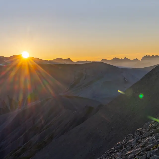
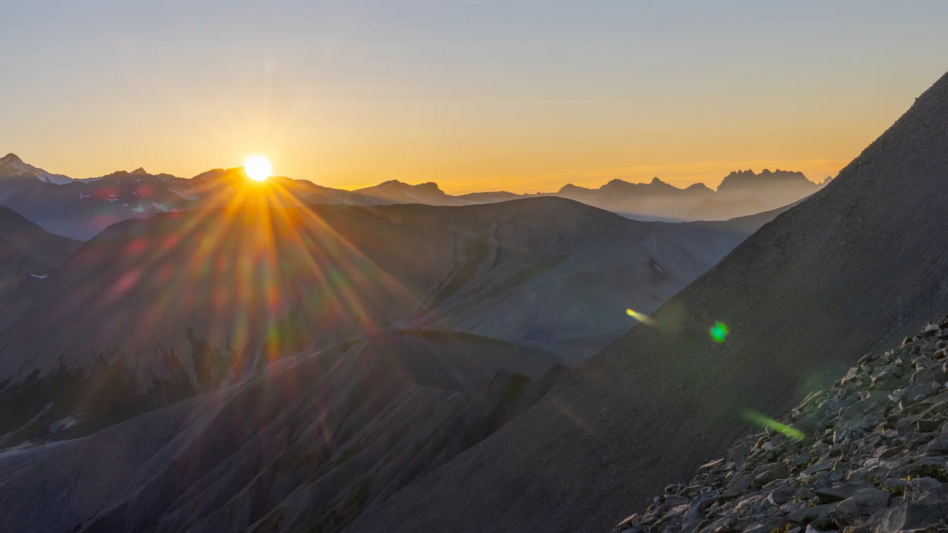
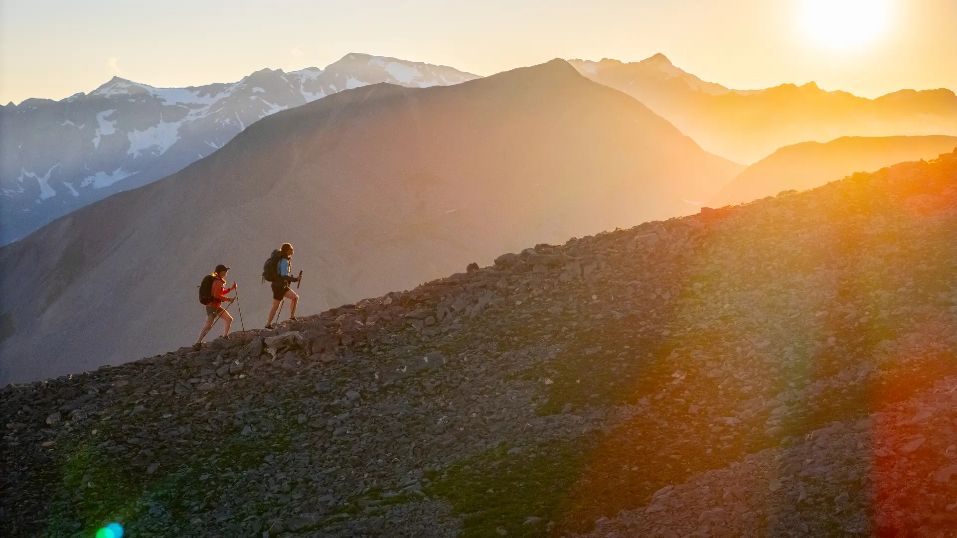
Follow the entire ridge towards Signal de la Grave, then at the foot of the small collet (2252 m) take the horizontal path towards the valley floor. Follow it to a flat spot (2352 m) overlooking the streams flowing down from the Goléon (herds).
Still on the slope, cross these streams (at Coin du Loup), pass close to the salt hut (Clos de Bonnefin), follow the Martignare torrent above it and cross it at 2360 m.
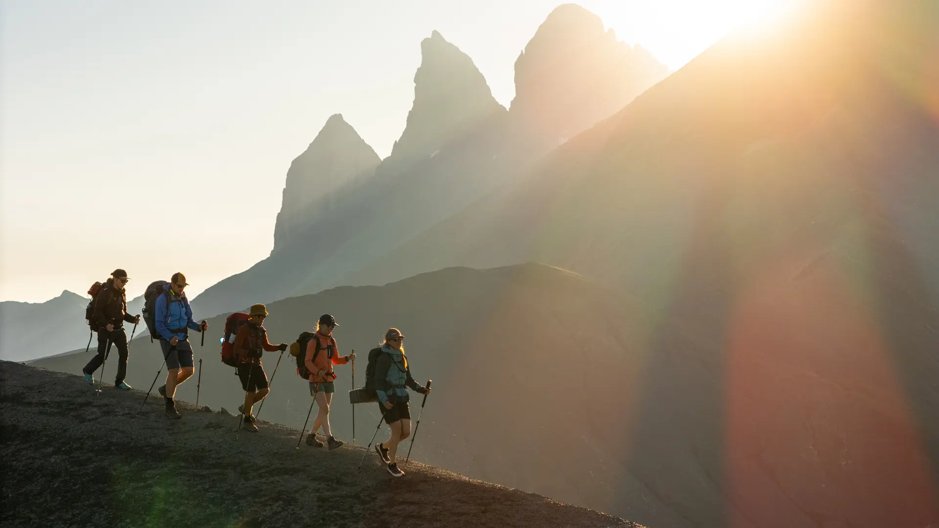
Climb the other side (steep passage) and continue on the wide grassy ridge (Lieu-dit Coin Belle). Crossing several talwegs, climb northwards towards the pass (2763 m), which is reached by an ascending traverse to the right.
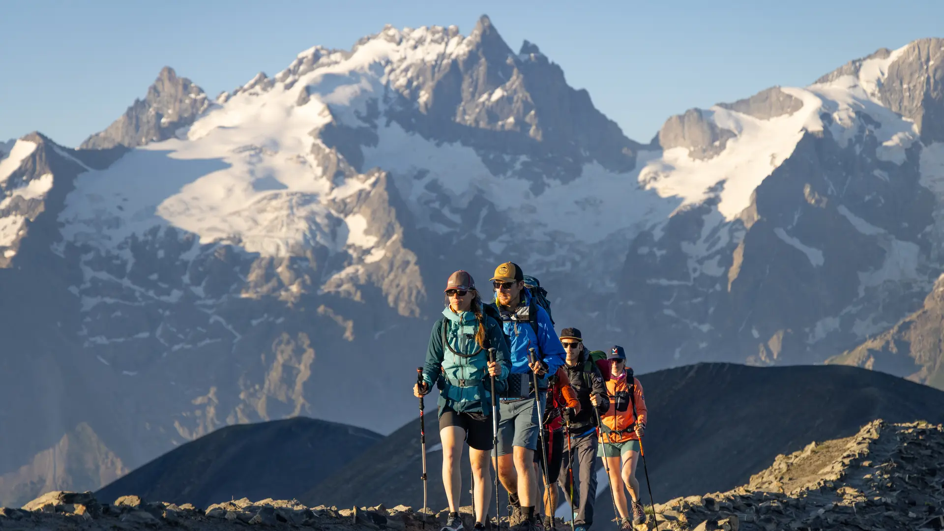
From the pass, climb west up the wide, stony slope towards the Pointe Sud de la Buffe (2878 m), which is reached in 30 minutes.
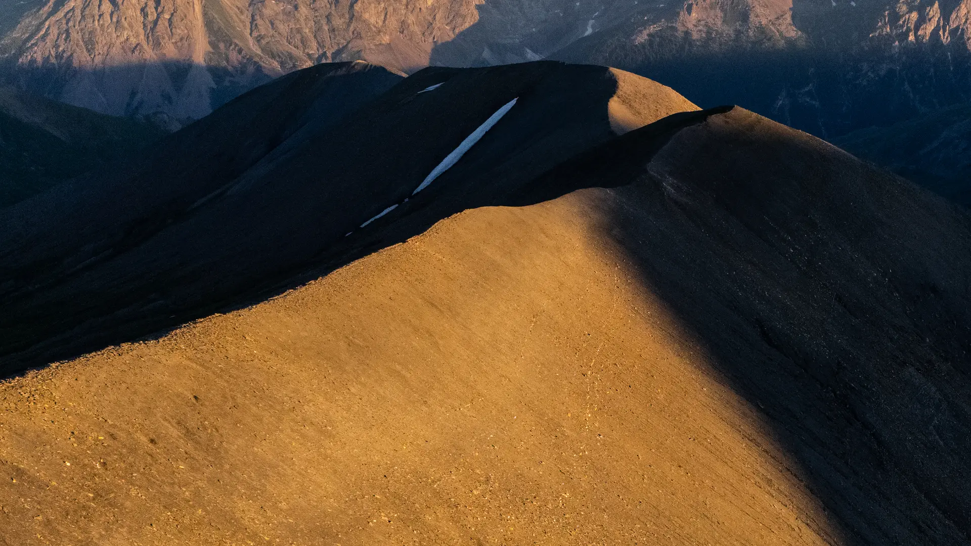
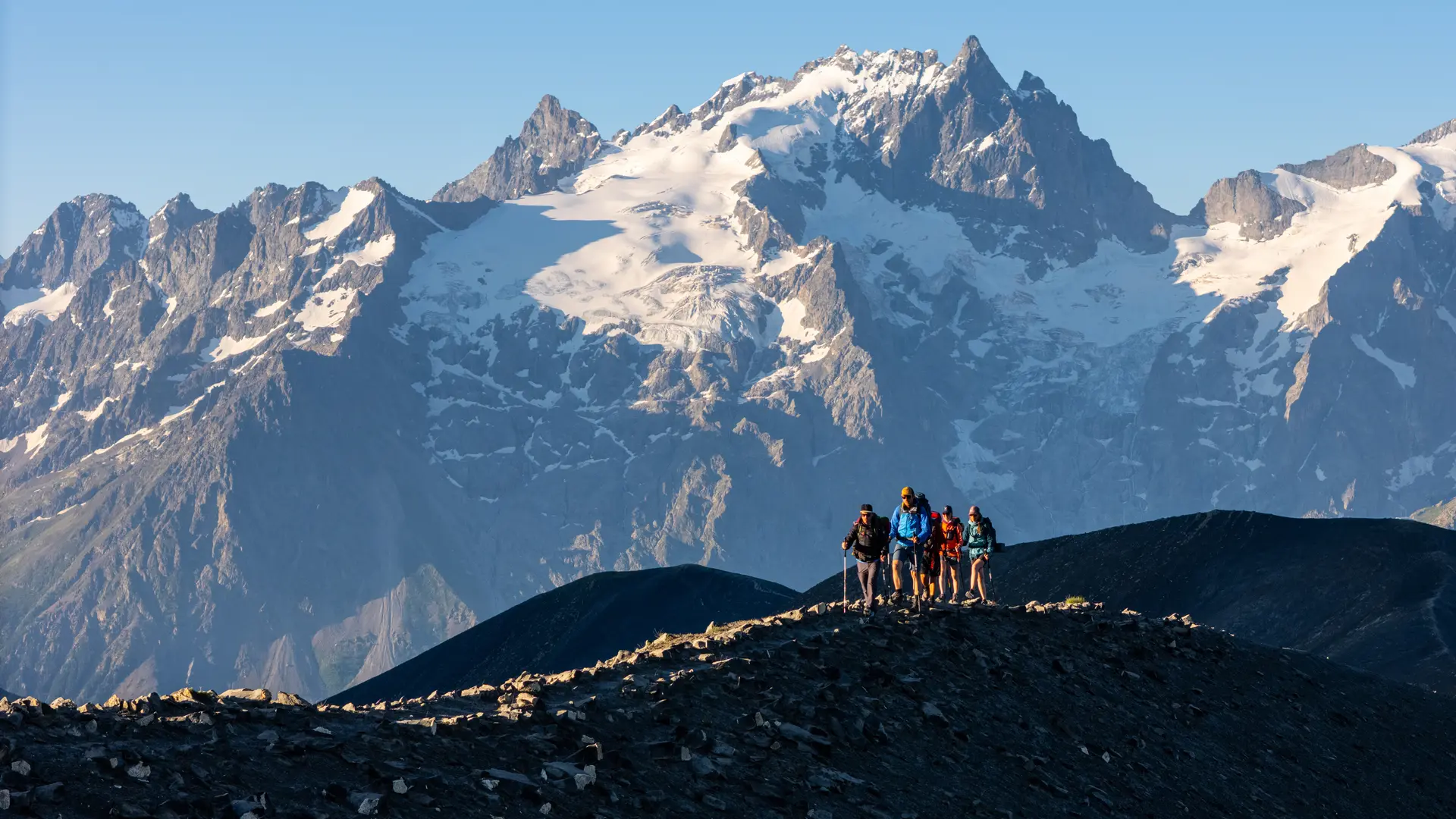
Return along the broad ridge (standing rocks) heading south. Reach the small Buffe (known as P'tit Huberte) (2683 m) and descend its south-facing slope (large, unstable rocks) to join the now grassy ridge.
At alt. 2420 m, take the secondary ridge that descends south-west towards the Buffe valley. Near a salt hut, take the left-hand slope. The faint path leads past the ruins of the "trois maisons" and on to the "Orliers".
A good path leads to the "Croix de Tuf", take the right track on the left, cross the hamlets of Les Rivets and reach Le Chazelet, the starting point of the itinerary.
Warning: this route is for trained hikers only.
Below the Col de la Martignare, the trail is partly marked but not referenced on the IGN map.
Read more