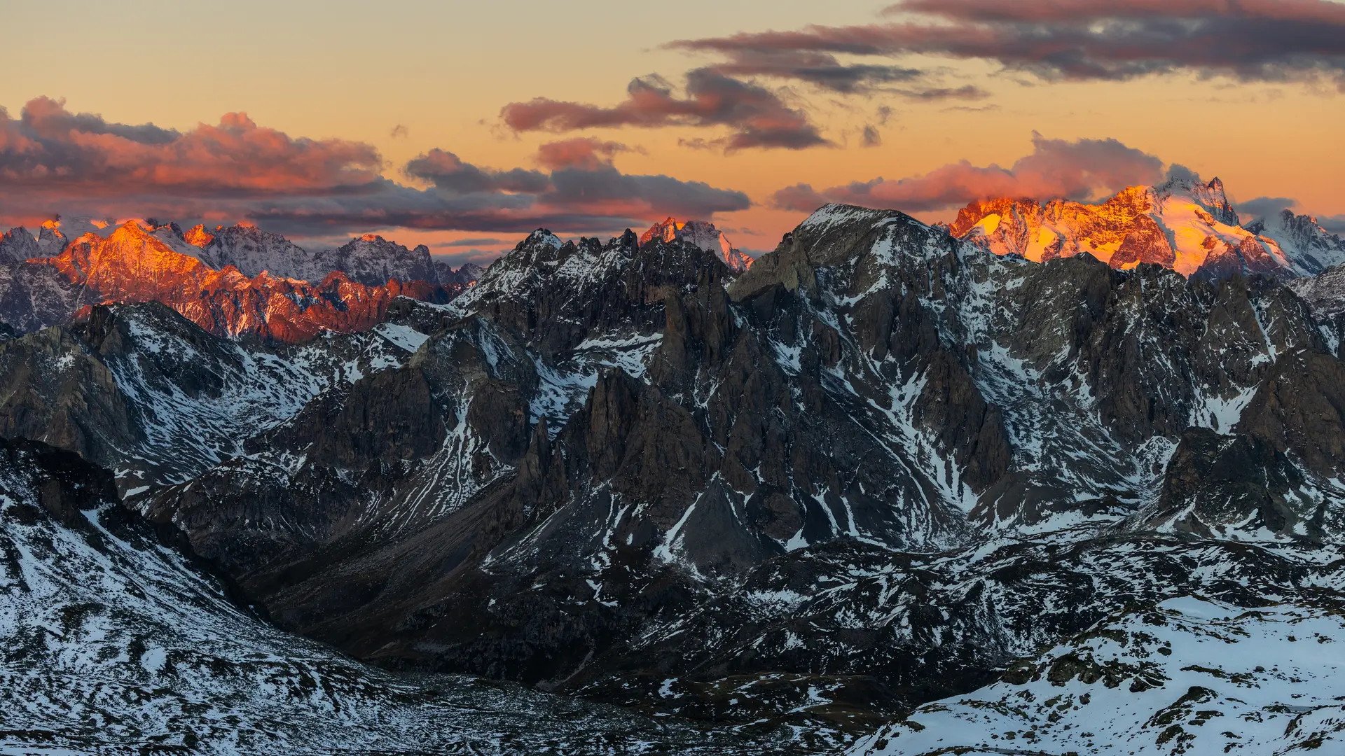
Between mountain pastures and mineral landscapes, as you pass lakes, the vast, verdant vallon des Muandes spreads out before you, encircled by ridge lines and the Rocher de la Grande Tempête. The almost lunar pass offers a remarkable view of Mont Thabor.
From the Laval parking lot, take the wide, stony track heading towards the bottom of the Clarée valley (GR de Pays Tour du Mont Thabor), which overlooks the Clarée river on its left bank: continue on this track for just over a kilometer to the Lac Long sign.
At this point, leave the track and take the little path on the right: this little mountain path gradually rises through the mountain pastures and quickly joins the Riou Sec stream as far as the Lac Long weir.
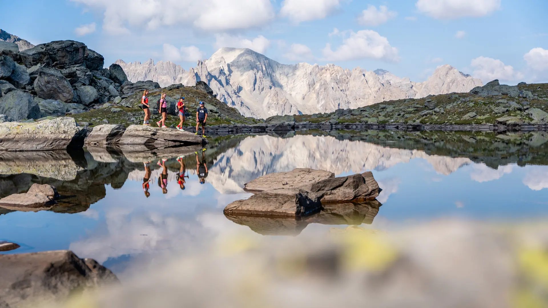
Continue along the main path skirting Lac Long on the left; the path then rises again to reach Lac Rond at 2446 m altitude: continue for around twenty minutes and cross a "rock field", taking care to stay on the left as much as possible. Keep as far to the left as possible, as the route becomes less visible in the rocks.
Once on the heights, the path descends towards Lac Rond: take care to skirt around the lake to the left to pick up the GR57 near its spillway.
The GR57 then continues quietly through this vast valley dotted with numerous small streams, to reach a 3rd, smaller lake (Lac des Muandes).
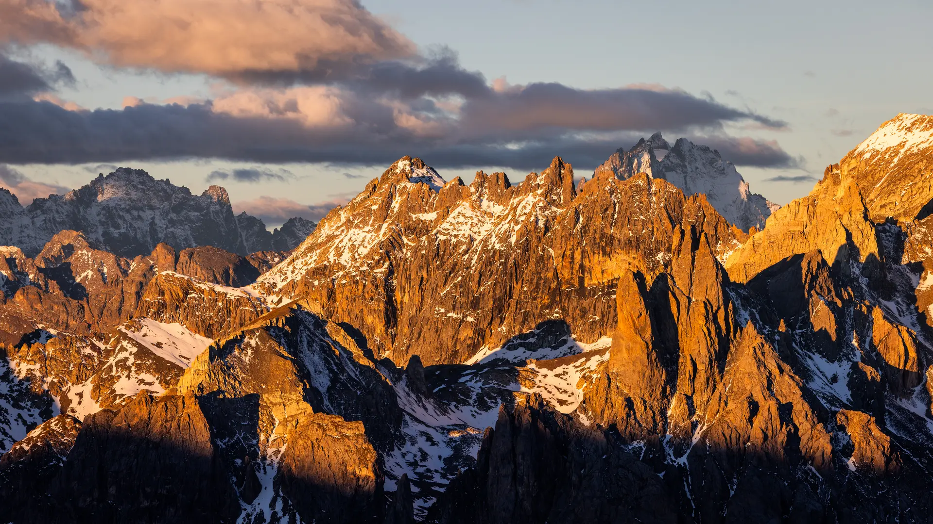
The path then climbs alongside the torrent, crossing it to begin the ascent towards the Col: the path winds its way between ochre-coloured rocks, and the scenery becomes more mineral.
You soon reach the foot of the Col des Muandes, and a steep ascent through scree begins to reach the lunar Col des Muandes.