➡️ START:
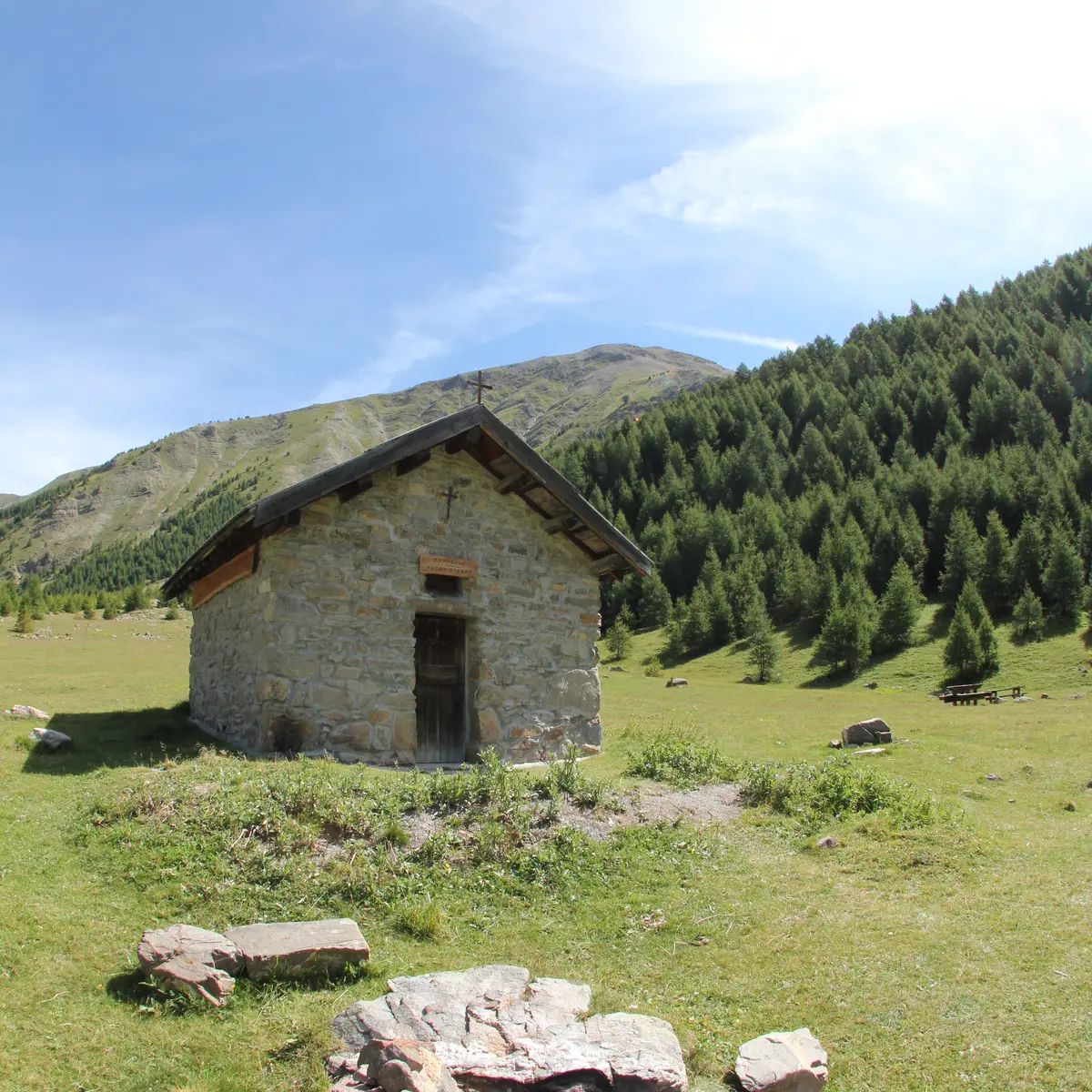
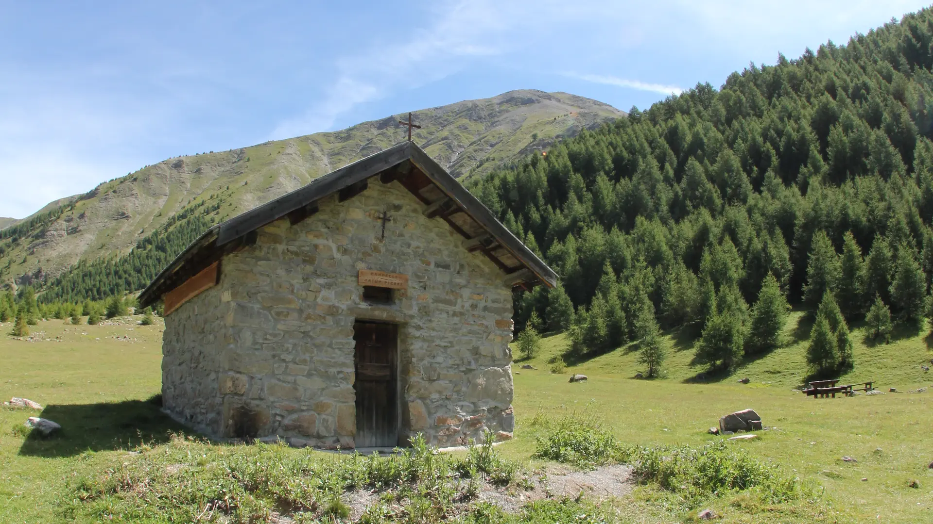
Take the D40 and turn at the hamlet of Les Ribes. Follow the forest track (⚠️ 4x4 track) for about 7 km until you reach the Saint-Pierre Chapel.
➡️ ROUTE:
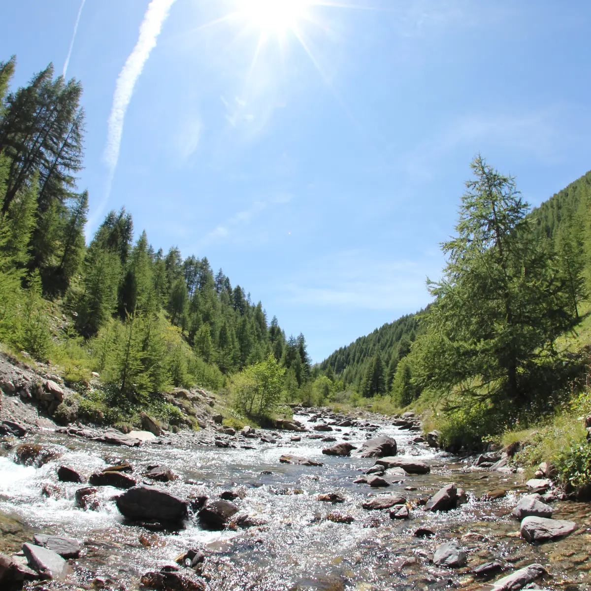
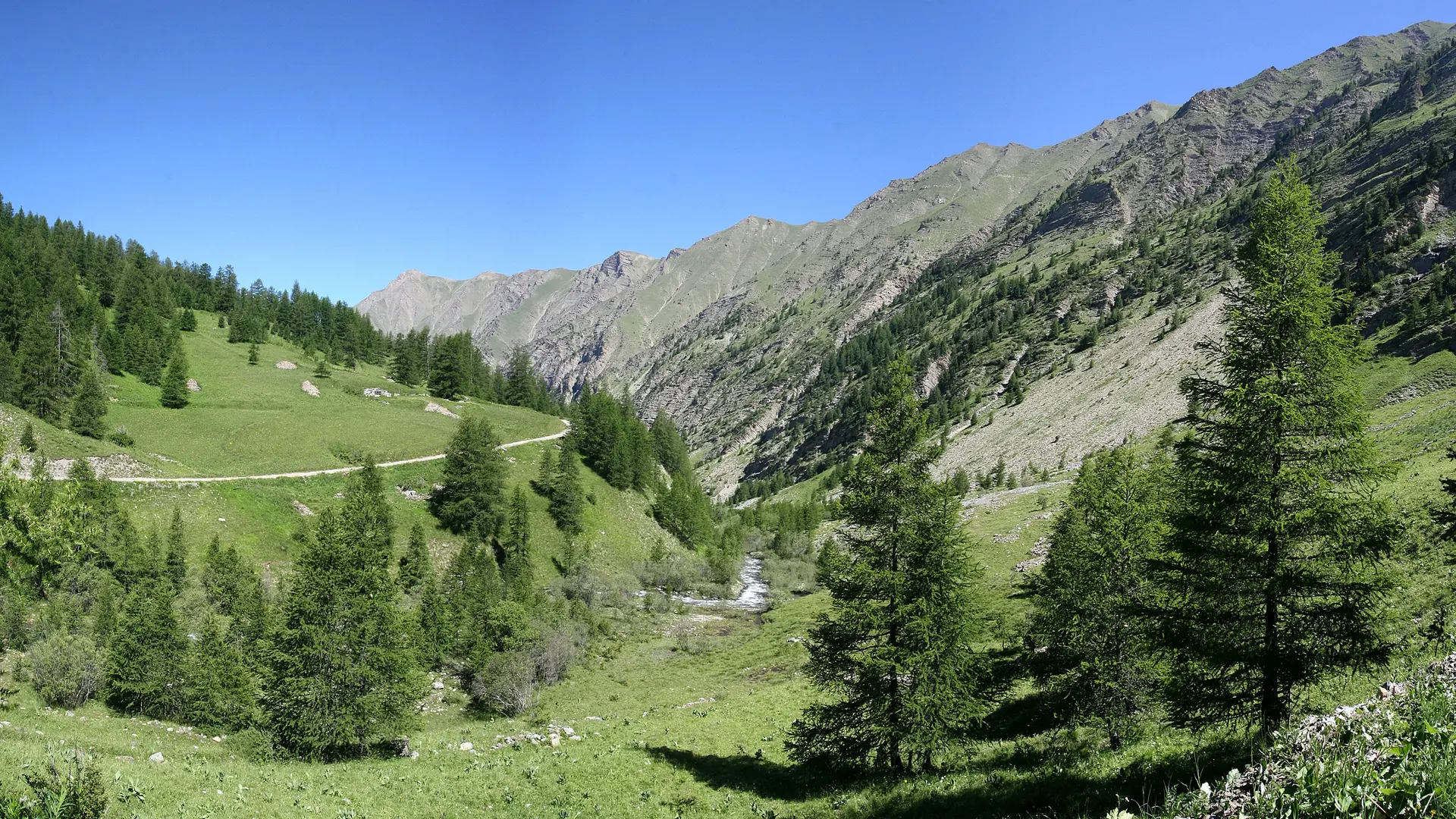
From the parking area, cross the Torrent des Vachères, keeping Petit Vallon on your right.
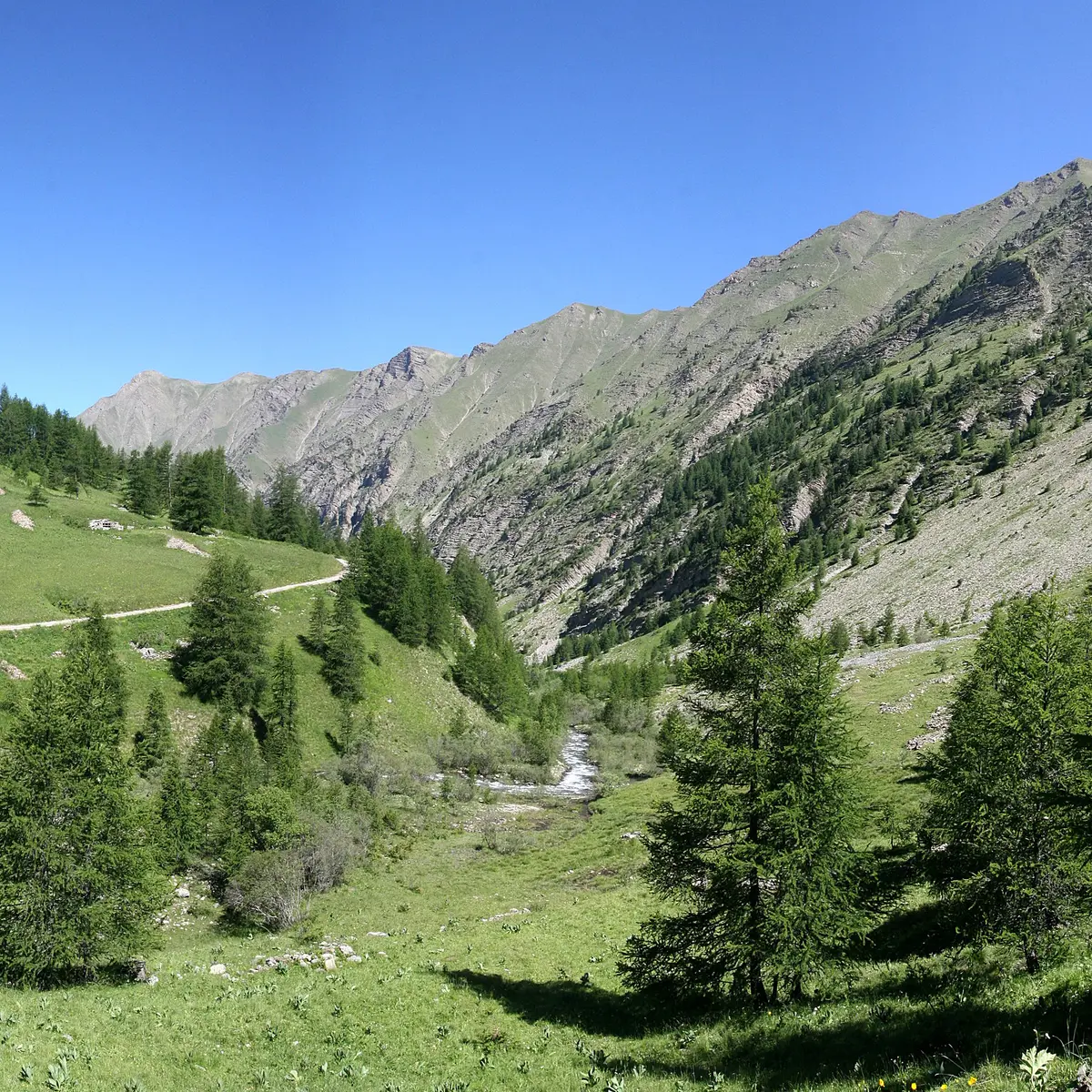
Follow the track for 2.5 km to reach the Cabane du Grand Vallon. Just before the hut, cross the torrent, follow it for 100m, then cross the footbridge. Continue on this trail as it ascends to the end of the valley, then cross the torrent again to the left.
The final section is more challenging—reaching the col is well worth the effort!
Read more