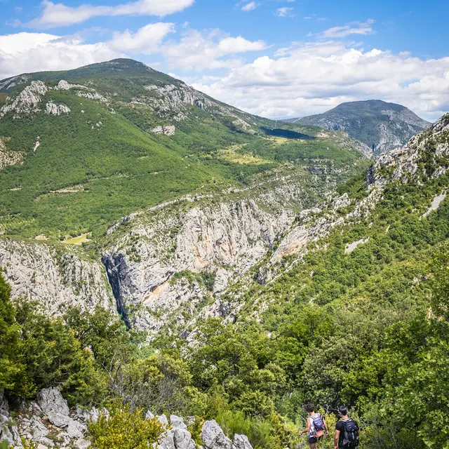
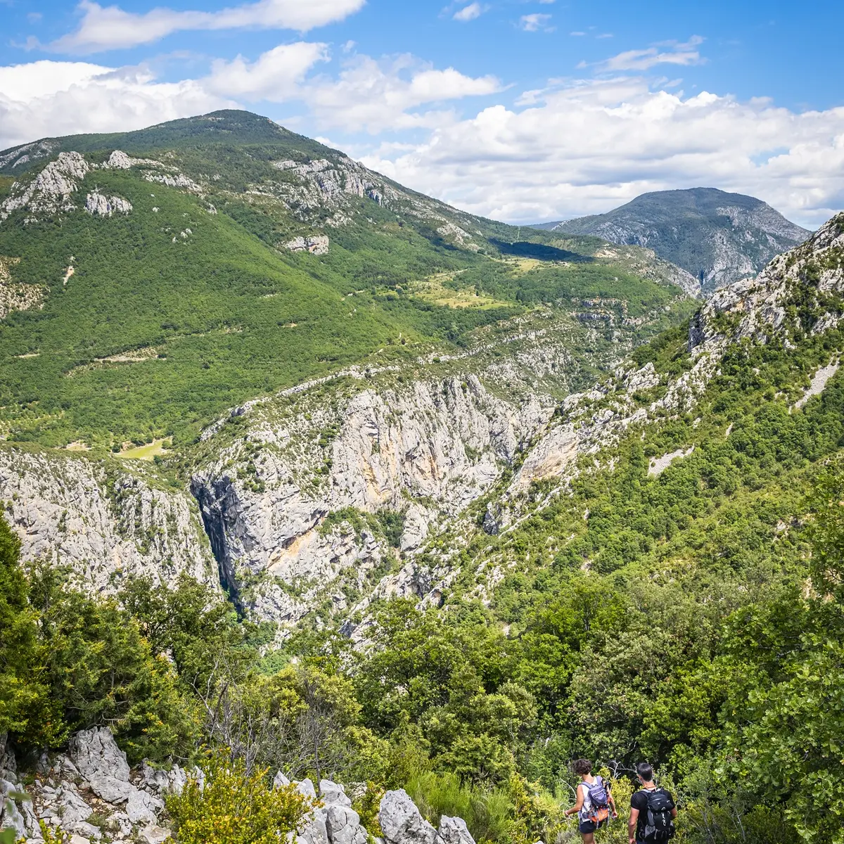
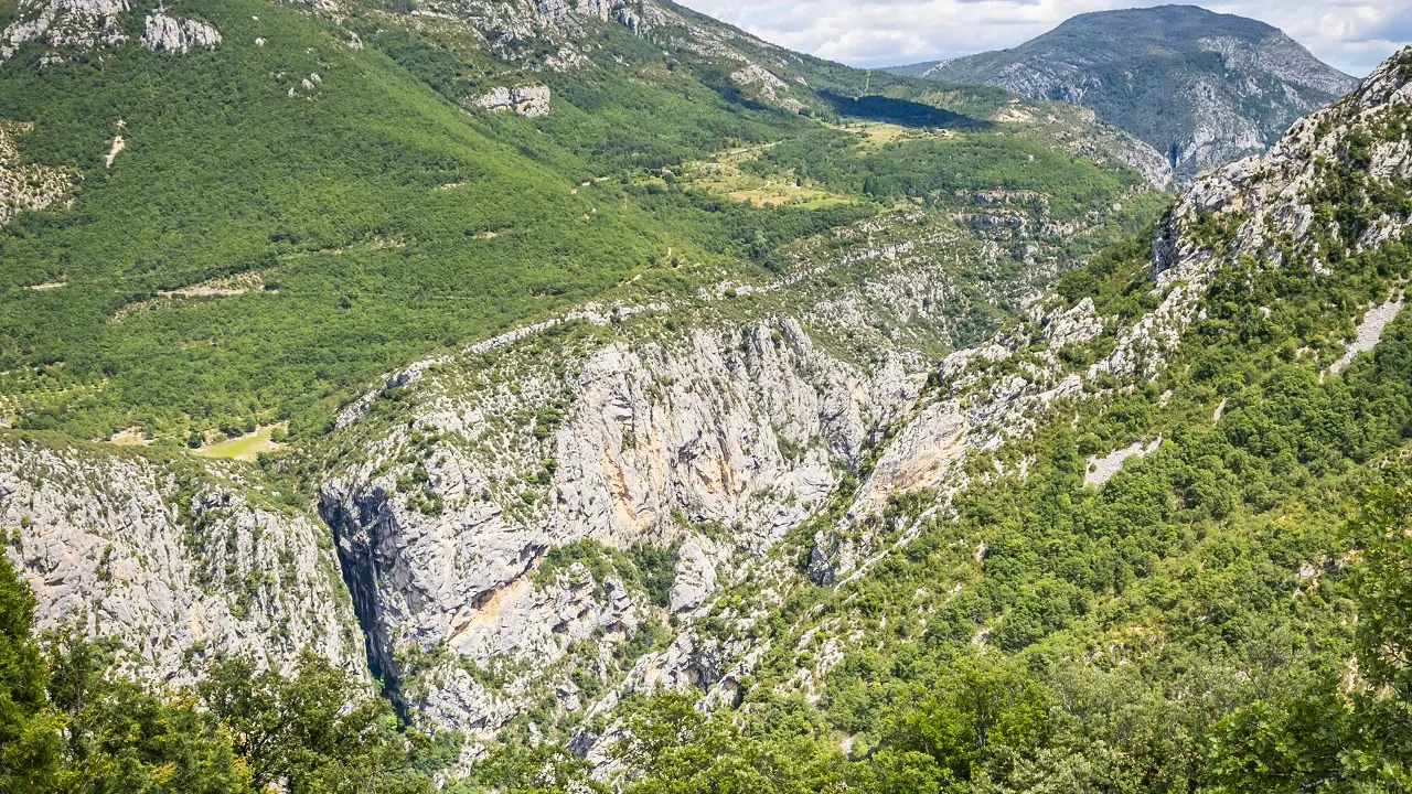
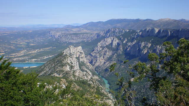
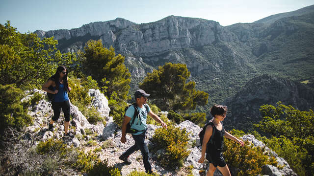
Hike through the Vaumale cirque, overlooking the Verdon Gorges.
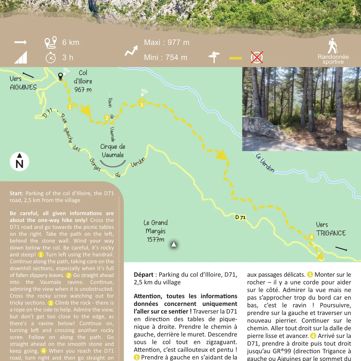
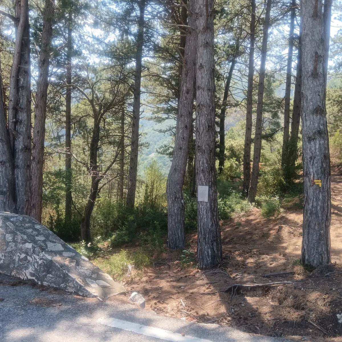
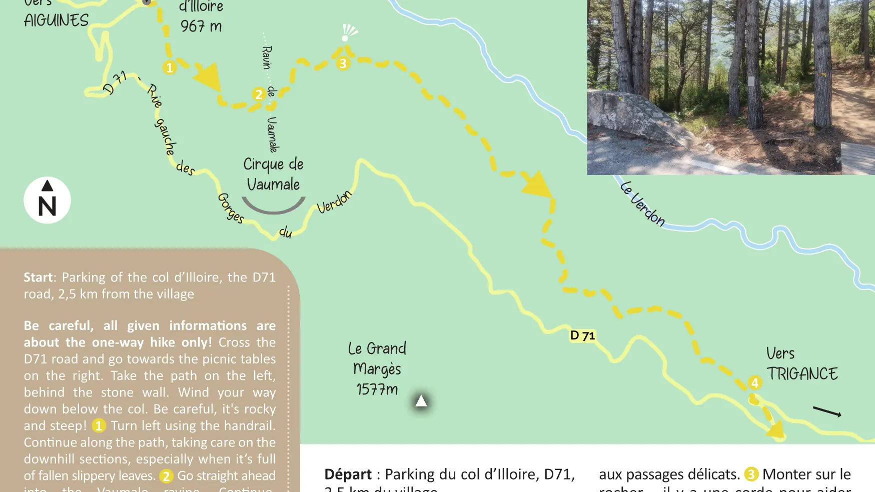
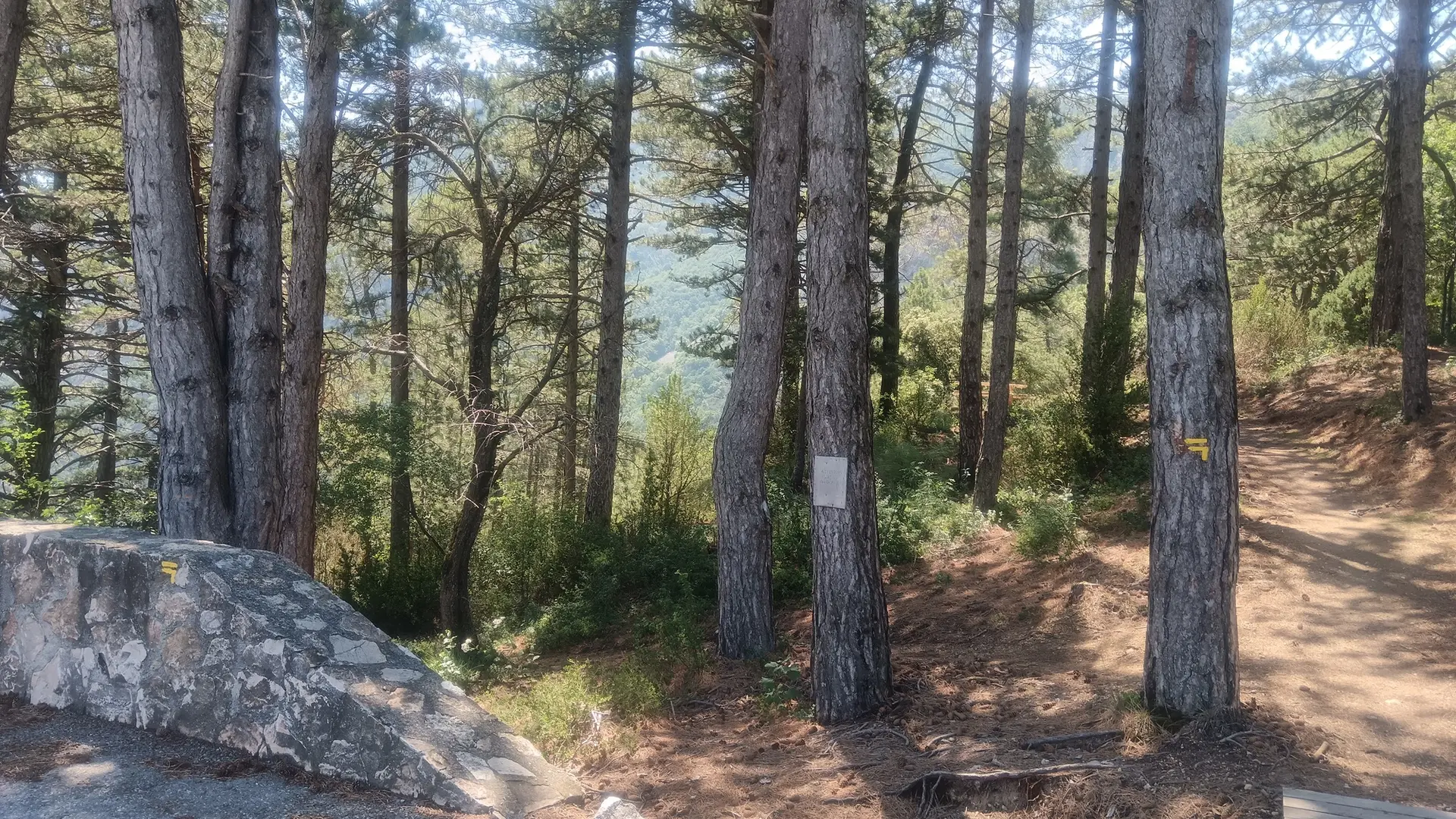
Be careful, all given informations are about the one-way hike only! Cross the D71 road and go towards the picnic tables on the right. Take the path on the left, behind the stone wall. Wind your way down below the col. Be careful, it's rocky and steep! 1. Turn left using the handrail. Continue along the path, taking care on the downhill sections, especially when it’s full of fallen slippery leaves. 2. Go straight ahead into the Vaumale ravine. Continue, admiring the view when it is unobstructed. Cross the rocky scree watching out for tricky sections. 3. Climb the rock - there is a rope on the side to help. Admire the view, but don't get too close to the edge, as there's a ravine below! Continue on, turning left and crossing another rocky scree. Follow on along the path. Go straight ahead on the smooth stone and keep going. 4. When you reach the D71 road, turn right and then go straight on until you reach the GR®99 (towards Trigance on the left or Aiguines via the top of Grand Margès on the right) or turn around and go back the way you came (multiply duration and distance x2).
2nd possible start – parking of the Petite Forêt, the D71 road, 10 km from the village - step by step in the opposite direction.
This hiking route is difficult and not accessible to young children or dogs. Anyone suffering from vertigo should not follow it. To see the hike on the map, click here: https://shorturl.at/kUL5Z
Read more
Plain text period
All year round daily.
Before hiking, check whether access to forest areas is authorised: https://www.risque-prevention-incendie.fr/var/.