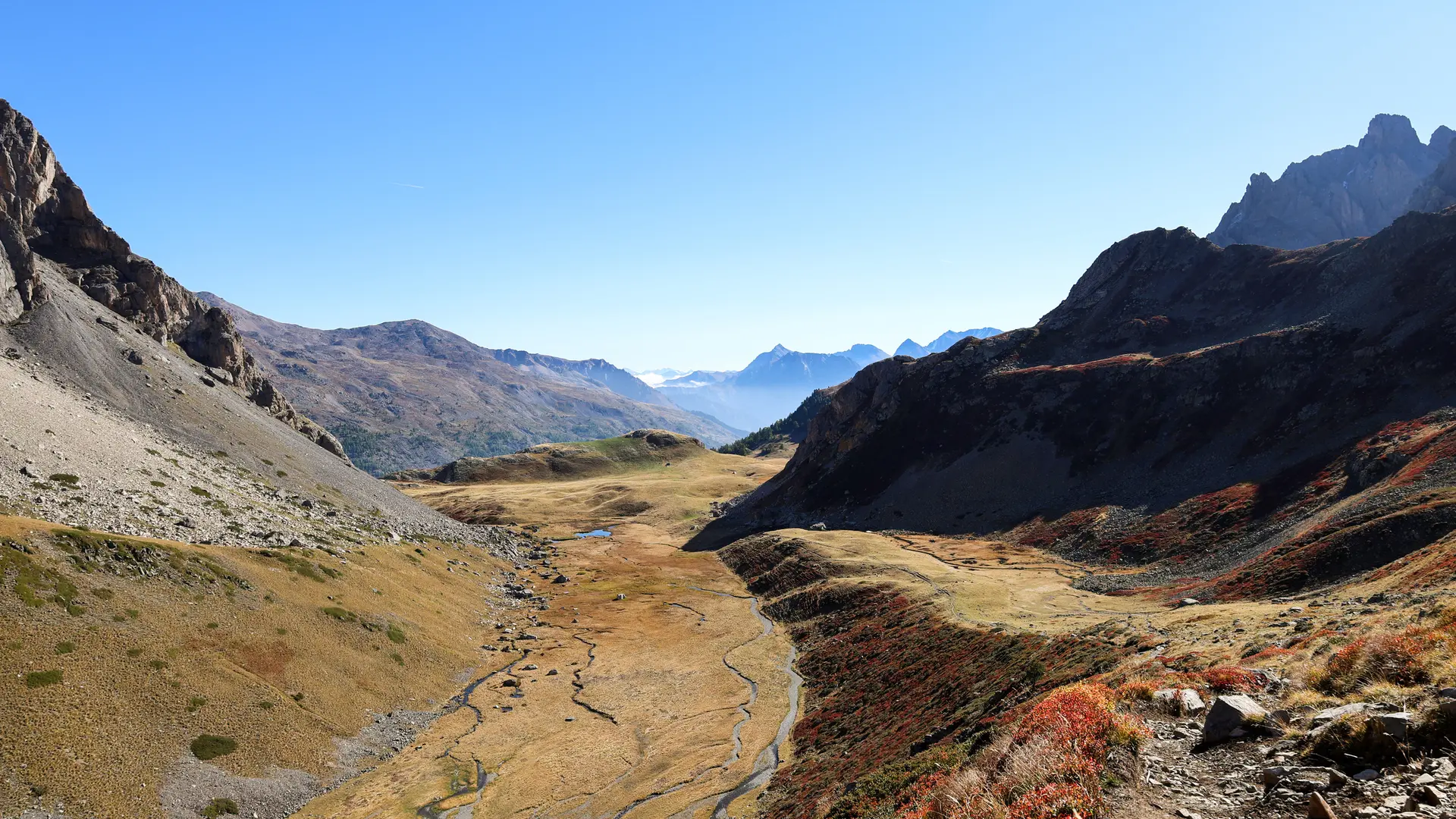
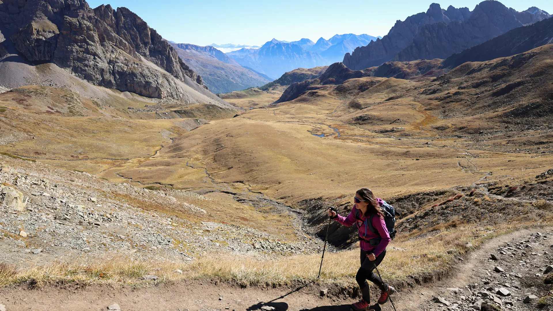
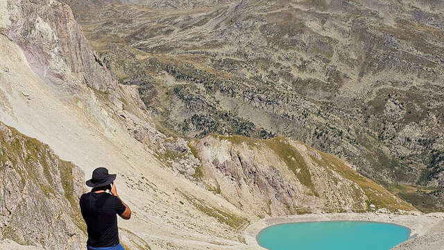
The Col du Chardonnet is a classic in the Clarée region, offering a wide variety of landscapes, including the Chardonnet high altitude marsh.
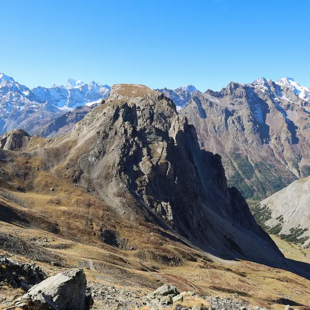
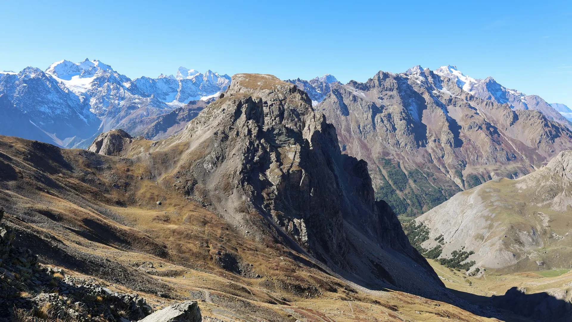
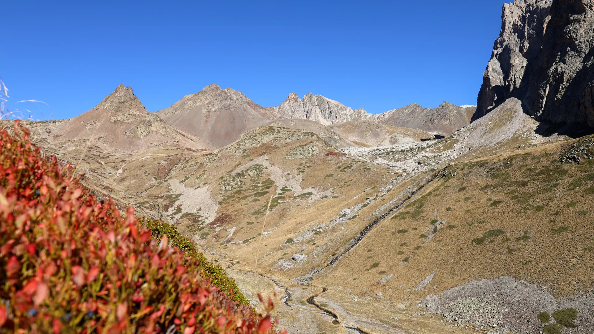
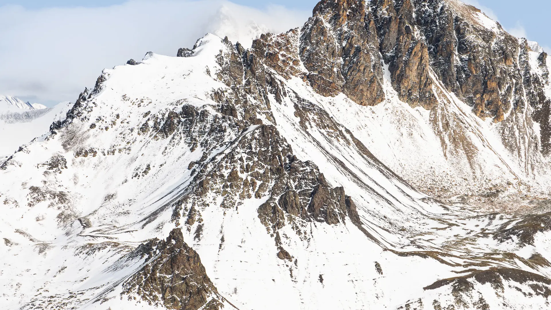
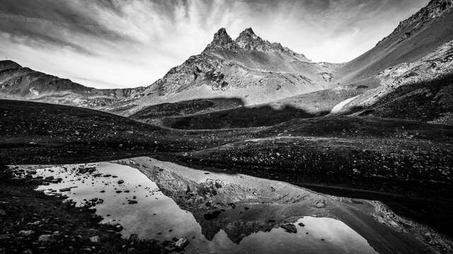
The pass offers a unique panorama of the Écrins mountain range and the Meije.
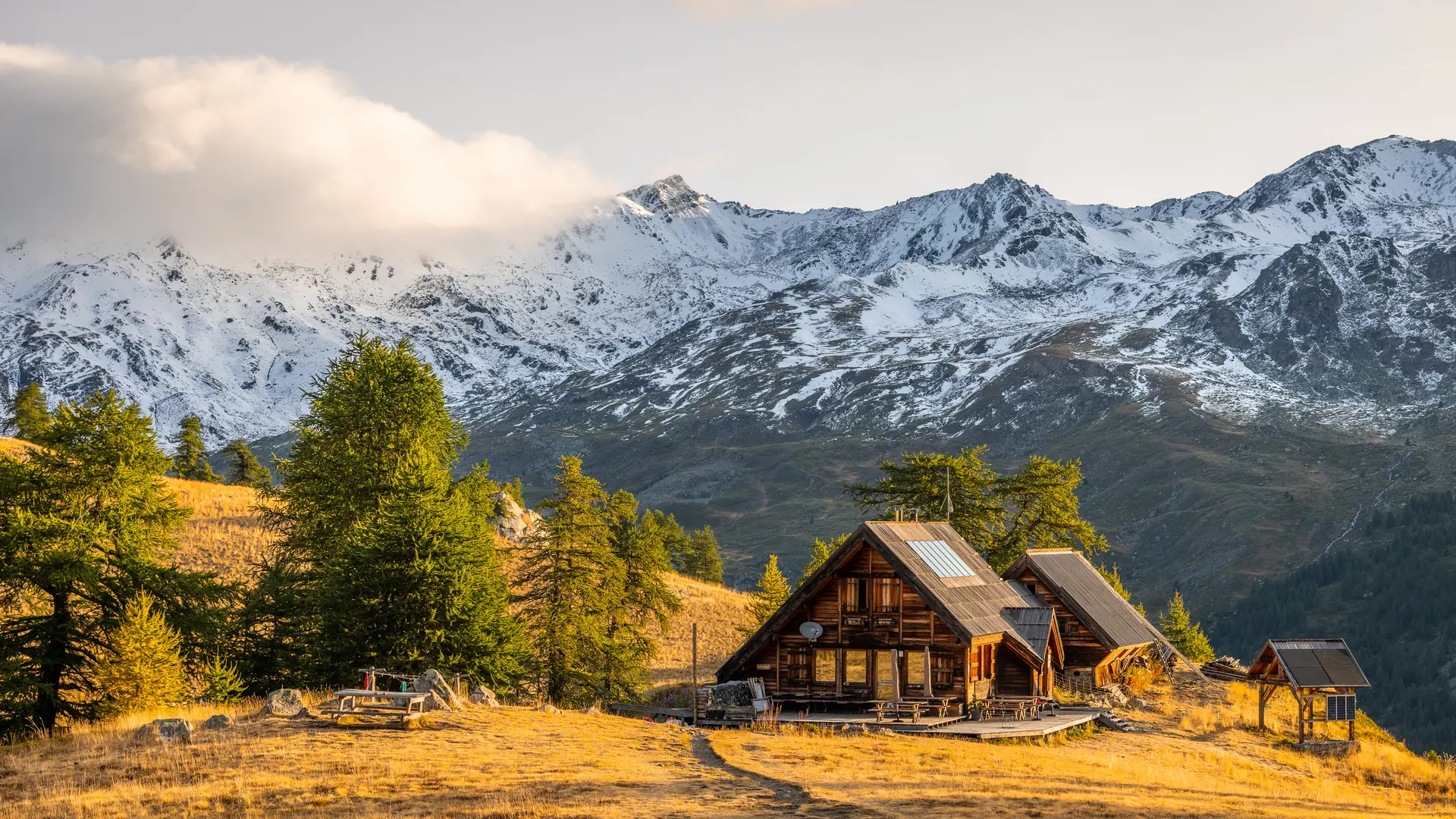
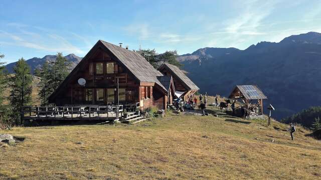
Beginning with a pleasant climb through the woods, this variant of the GR57 crosses the old Laraux alpine chalets to reach the Chardonnet refuge nestled at the foot of the Queyrellin ridge at 2222 m altitude. Higher up, the vast Chardonnet altitude marsh marks the start of the final ascent to finally enjoy this unique view of the Écrins bar and the Meije.
Park at the Fontcouverte parking lot, opposite the campsite of the same name.
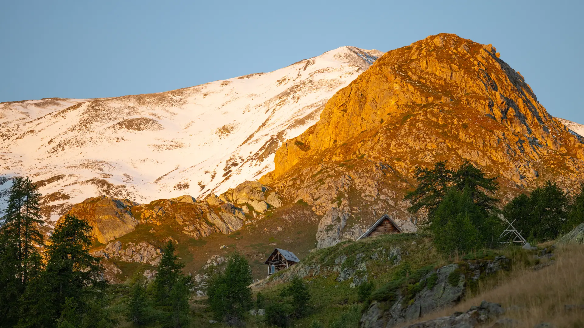
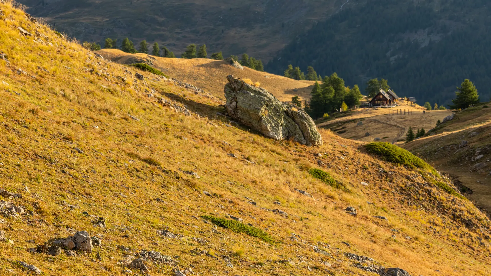
Enter the campsite and take the left-hand path leading to the refuge du Chardonnet. The path winds through a larch forest to reach the Laraux chalets, which continue to the right and take you to the Chardonnet refuge.
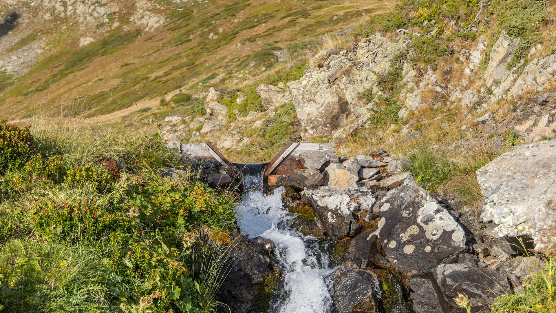
From the refuge, continue to the torrent de Raisin, (once you've reached the torrent, you have two options: by going left, you can reach the Col du Raisin, at an altitude almost similar to that of the Col du Chardonnet).
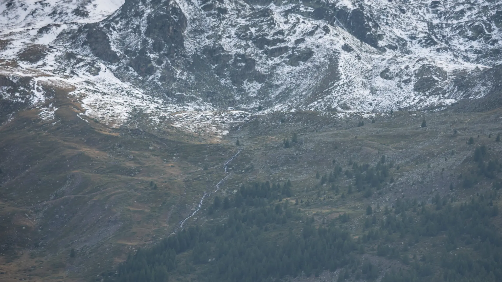
Cross a small bridge to take the GR 57 (red and white markings). The path leads into a combe, which you climb up to reach a flat area.
The path leads to the magnificent Chardonnet alpine marsh. You'll find remnants of power poles that will lead you to the Col du Chardonnet.