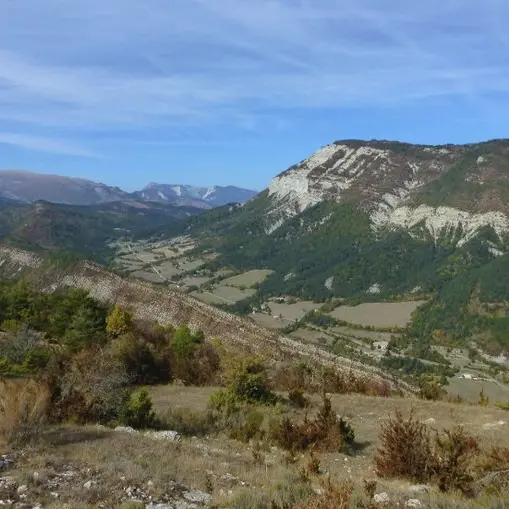
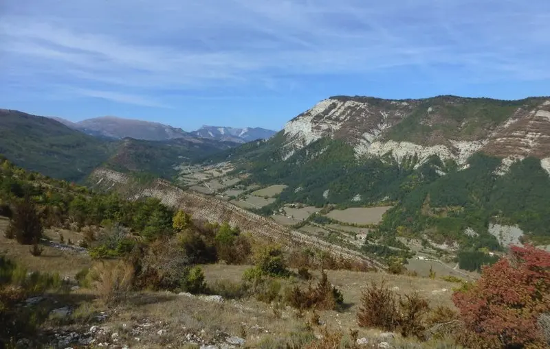
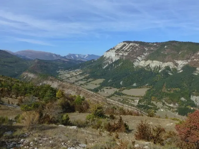
From the hamlet of Montblanc, follow the asphalt road east downhill for 1.3 km. Shortly after a wooden cross, at a small house and a small bridge, come to a crossroads.
At Les Cognas, leave the road and turn right to cross the bridge over the Chalvagne and climb upwards through the pine forest. The path rises through the forest, comes out on a ridge which it follows for a while and passes over a collet. Once past this point, take the path on the left at the edge of the slope, gain a croup, then enter the wood after a bend to the left. The path then climbs steadily up to a track near the Col du Buis.
At the Col du Buis, take the uphill track to the right, cross a fence and continue on the other side to the end of the track, 2.5 km further on. Continue straight ahead on a path that descends to a crossroads at the level of a ruin.
At Serre Mallet, go right down to the bottom of the ravine, cross it, climb the other side, cross a ridge and go down to another ravine. Cross it to skirt a meadow and emerge on a tarmac road. Follow it to the right as you descend to the starting point.
Read more