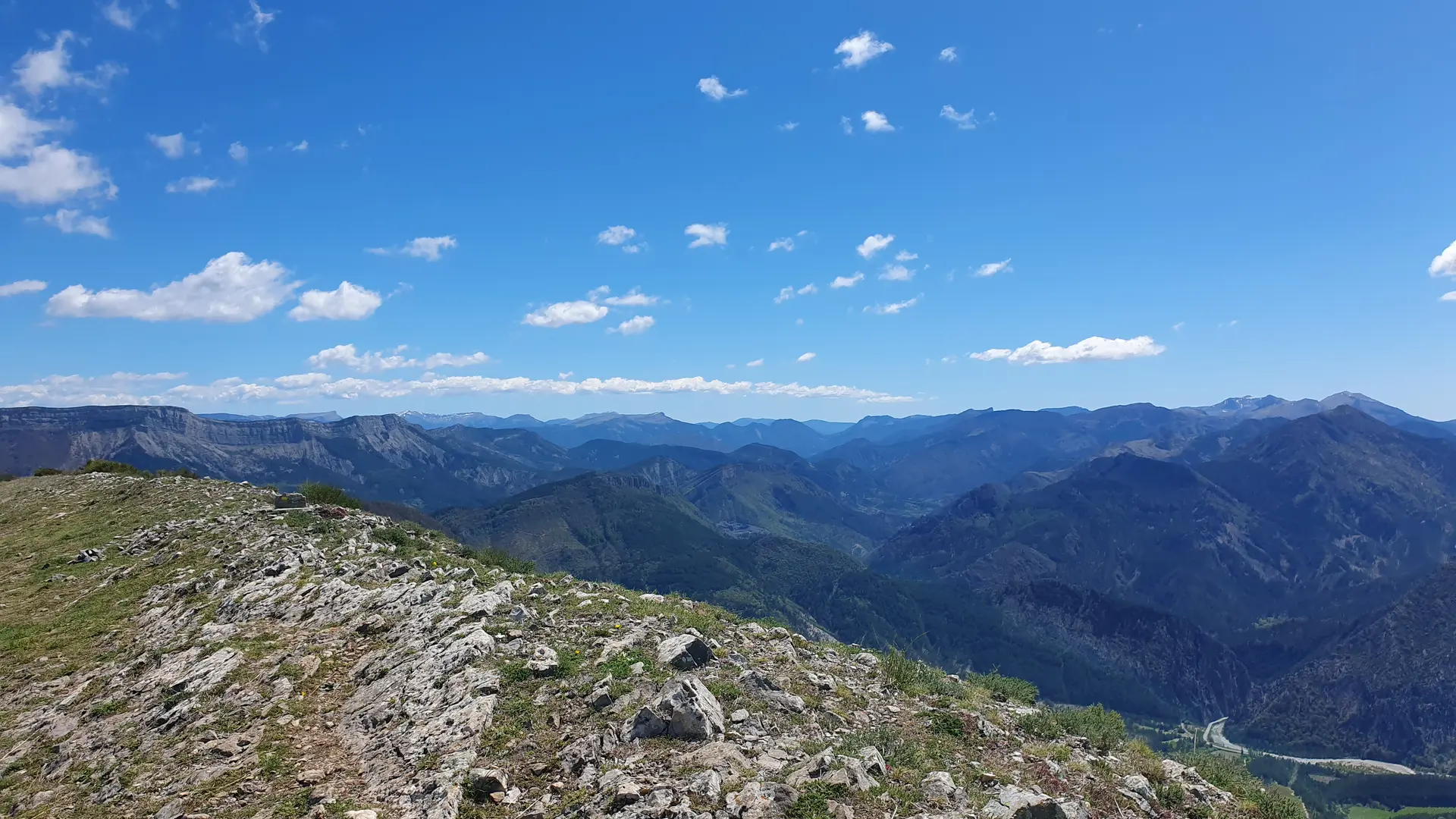
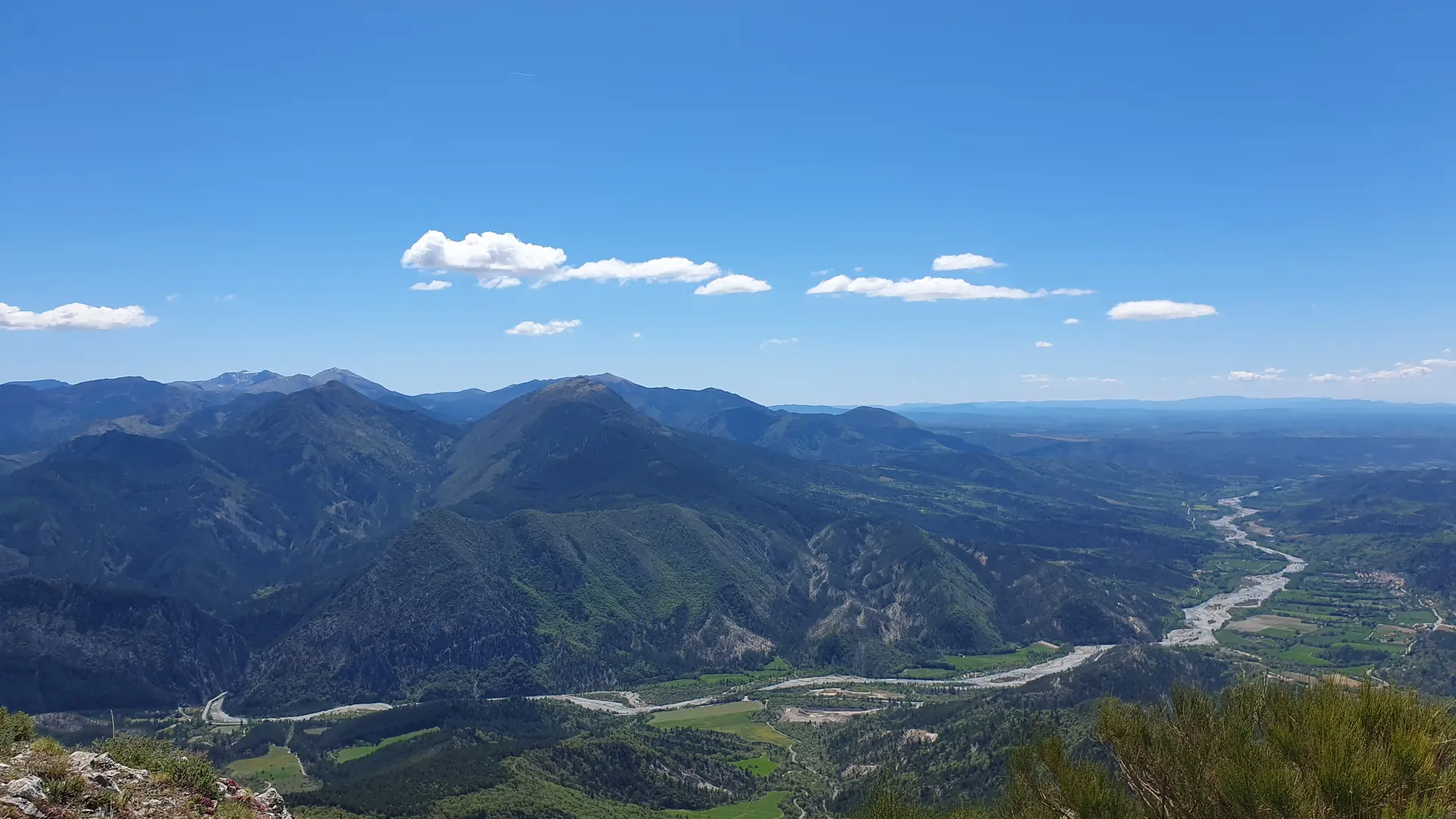
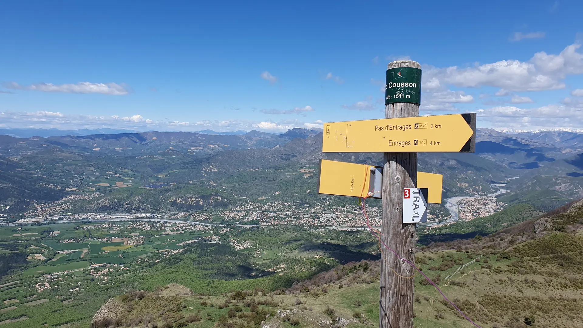
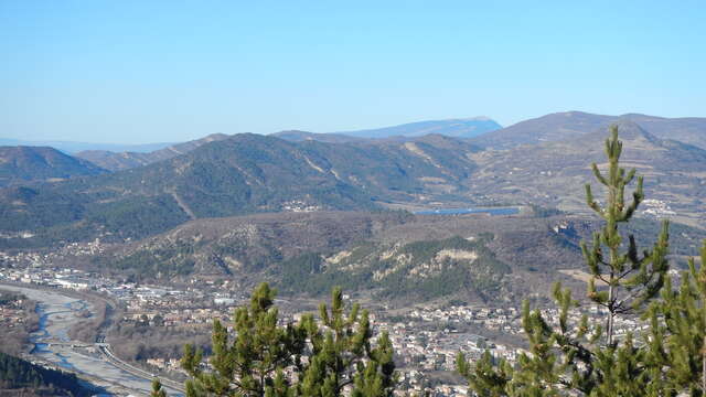
An emblematic summit of the Pays Dignois, the Cousson is one of the favorite hikes of the locals, the panorama is magnificent. Lesser-known but demanding route, starting from Châteauredon starting from Châteauredon to climb the southern slope via the Uvac ravine.
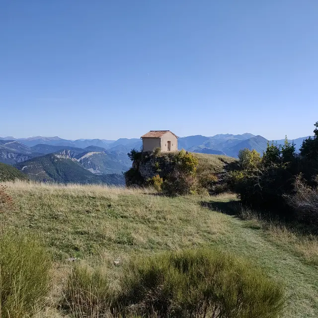
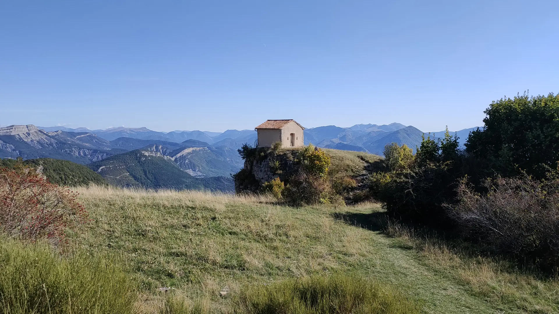
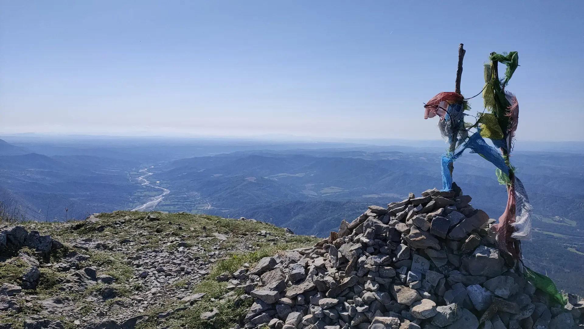
Pass the ruins of Les Granges then those of Suyès and exit at a "drop" called Merle where you join the classic path. Continue to climb towards the chapel. Up there, Saint-Michel du Cousson awaits you perched on its rock and the summit (1512 m) offers you an exceptional 360° panorama. Nice day hike and return by the same route.
On this route, the Saint-Michel du Cousson chapel clings to a steep cliff. It is a modest square-plan Romanesque-style building. Its walls are solid on three sides, the thinner façade wall is pierced with two small openings. A remarkable decorative element, a stone carved with interlacing, adorns the top of the door. During work carried out in 1983, the original was replaced by a cast. The façade has just been renovated. The Saint Michel du Cousson chapel is one of the oldest chapels in Digne. Its foundation dates back to 1035.