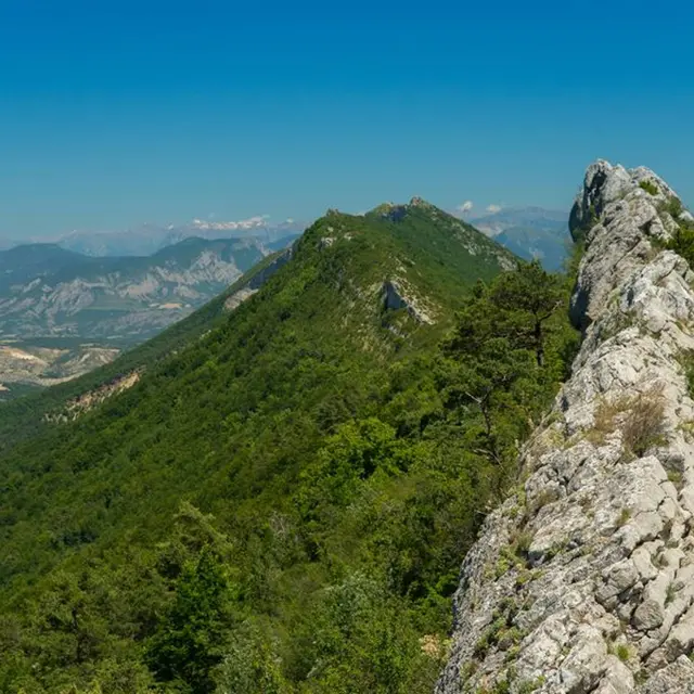
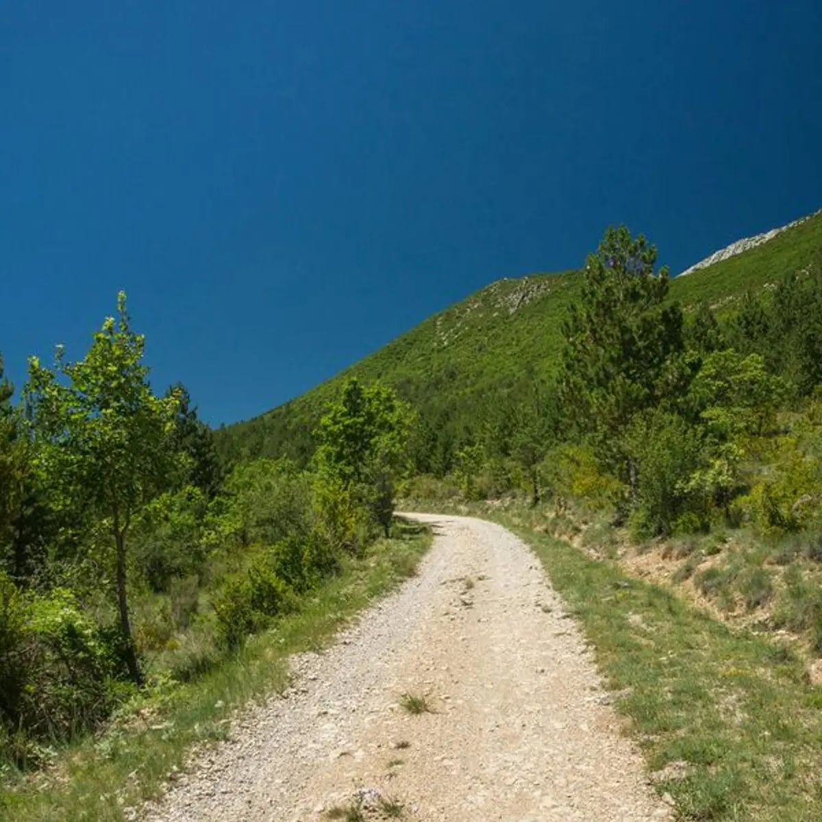
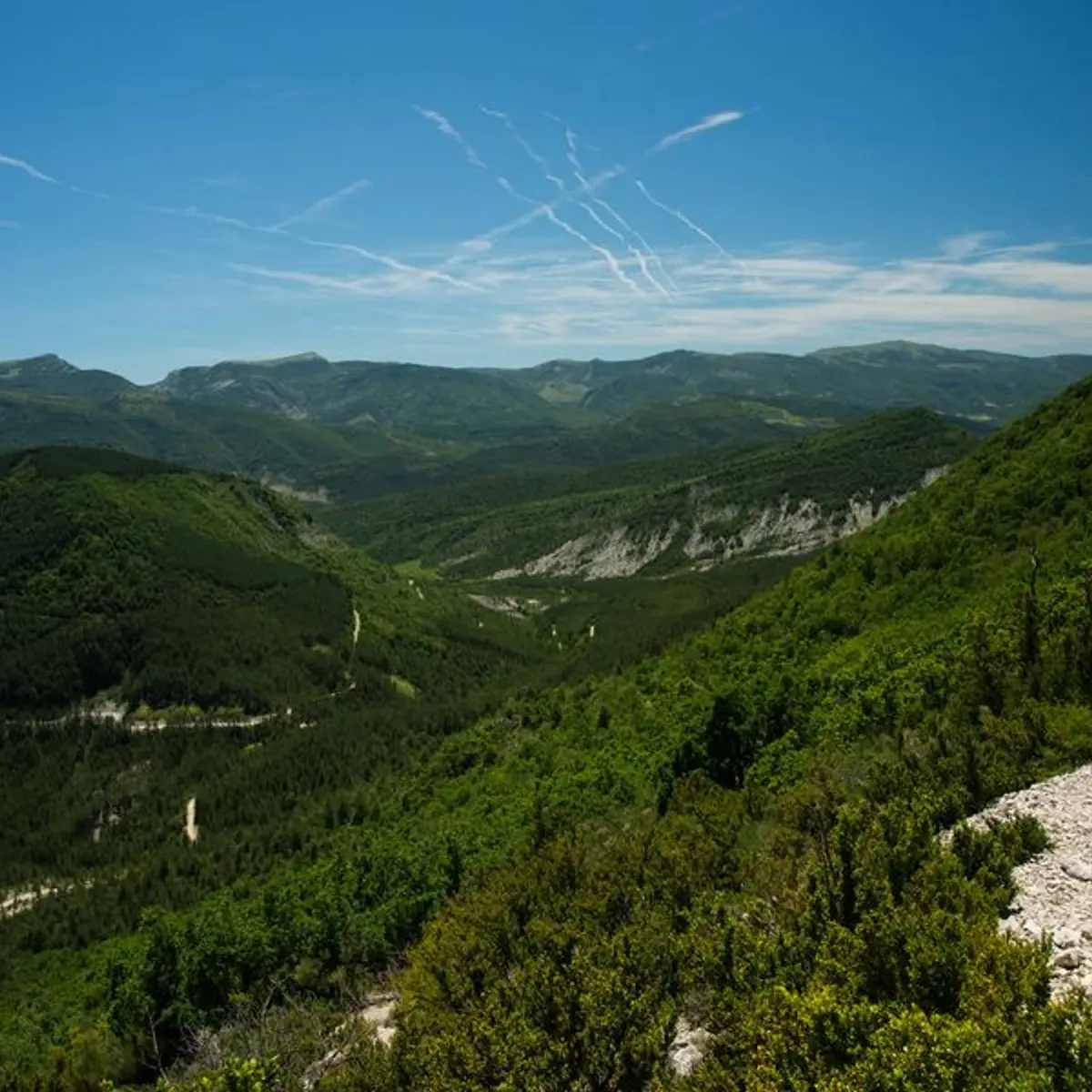
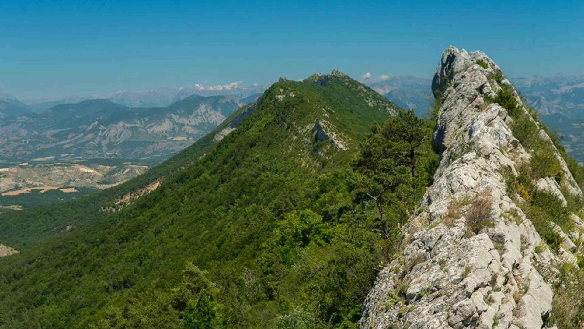
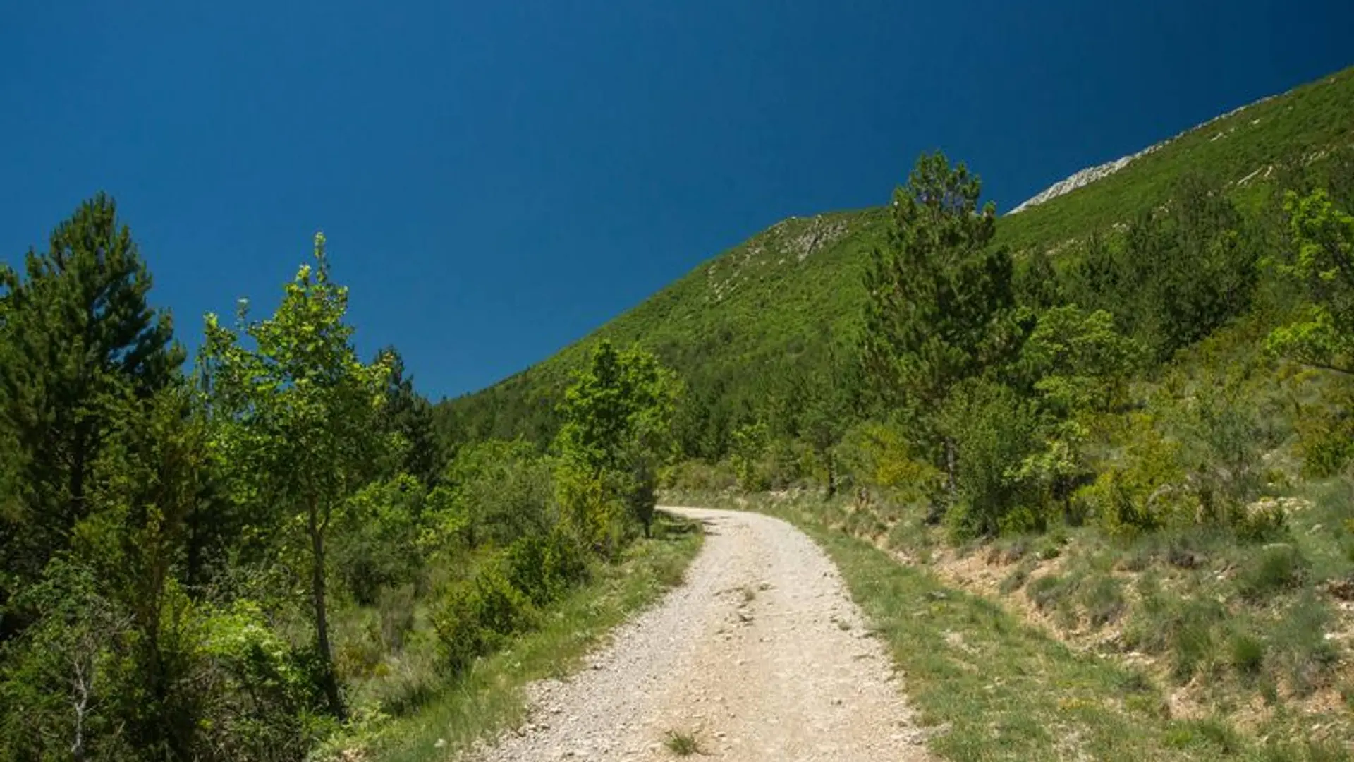
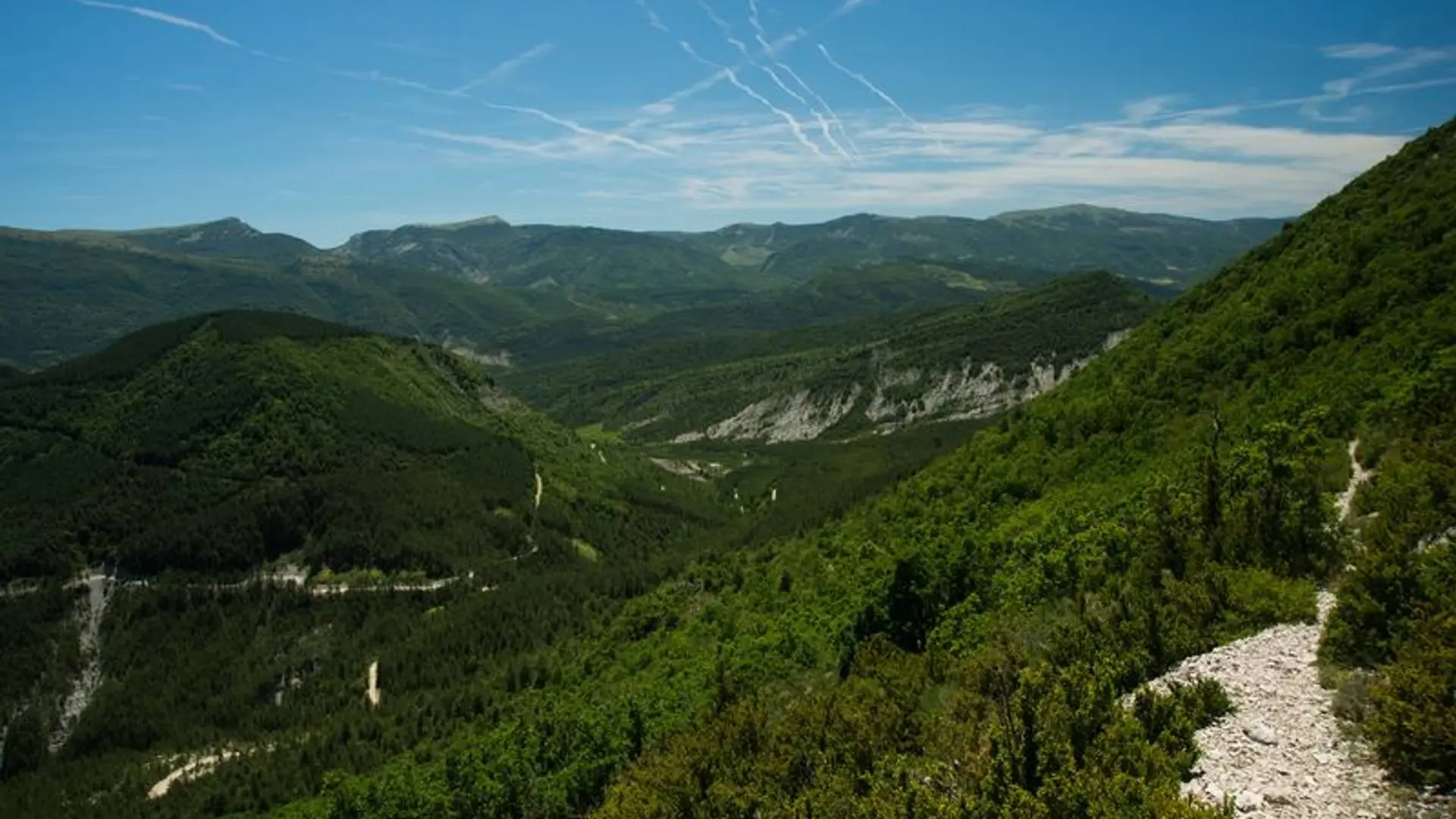
Explore a beautiful shaded ridge hike. The ridge of Chabre forms the junction between the Col St Ange and the Pas de Ste Colombe, watershed between the valleys of the Céans and the Méouge.
Medium
Read more
Tips
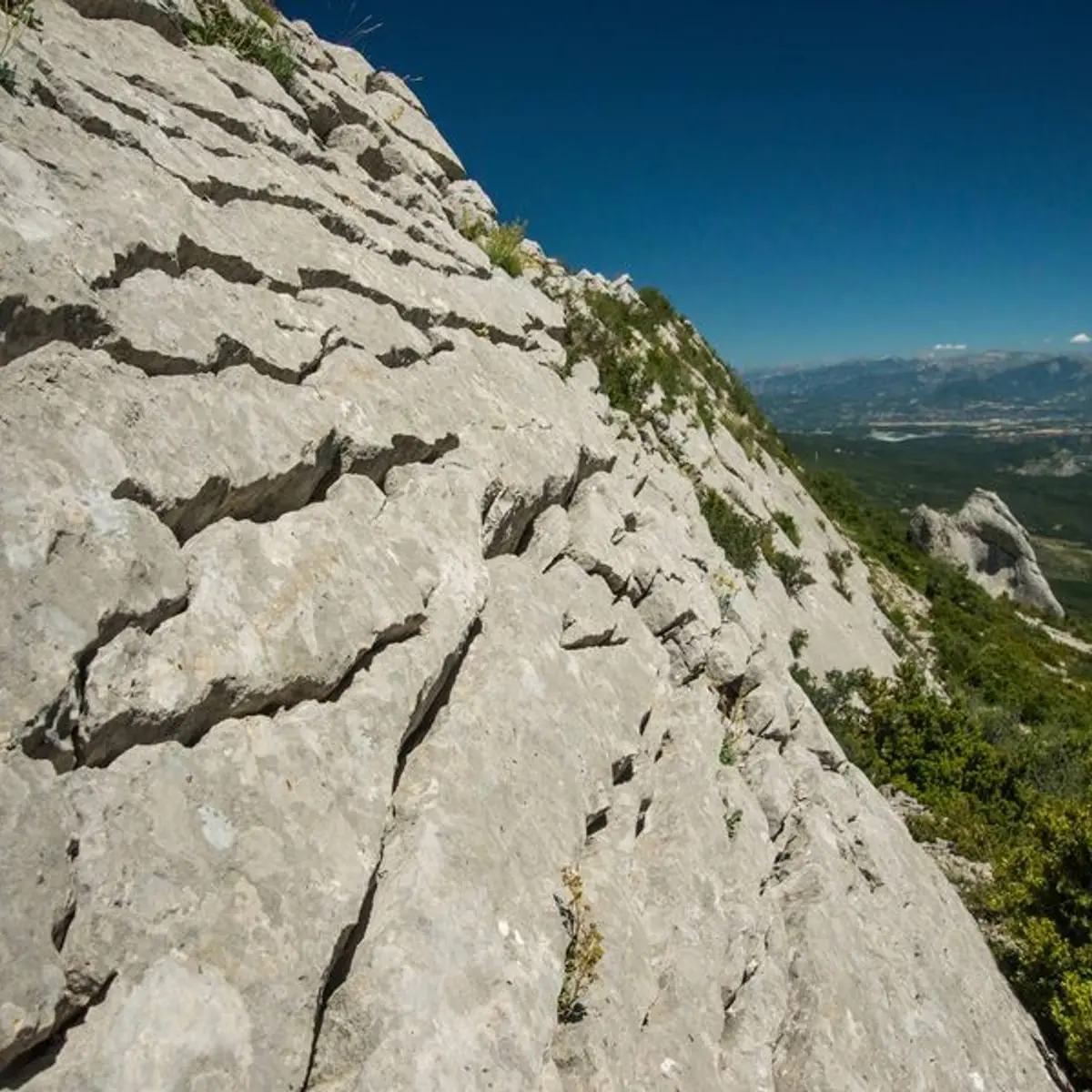
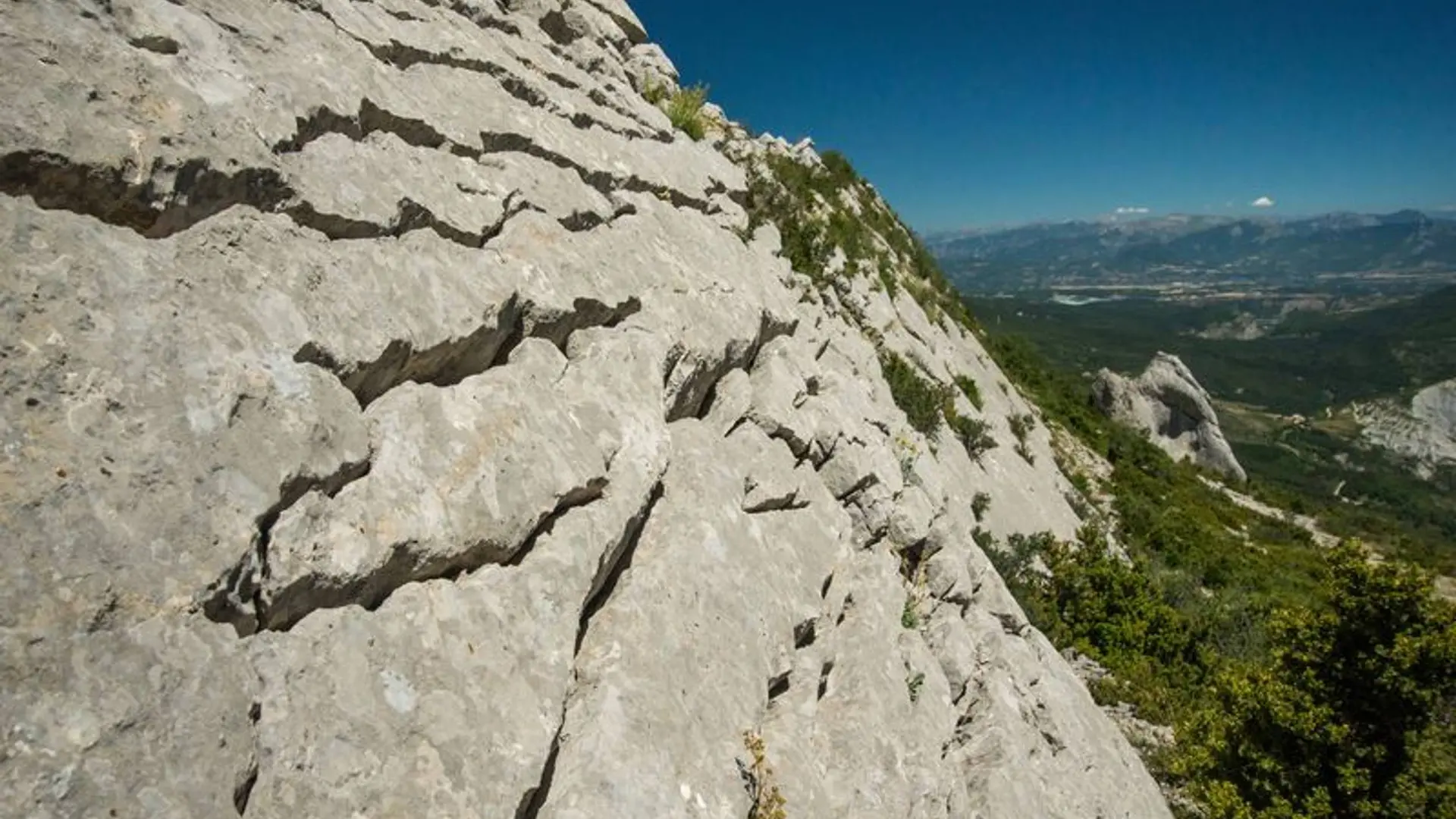
Quite sharp ridge with passing over several rocks. People who suffer from vertigo may be embarrassed.