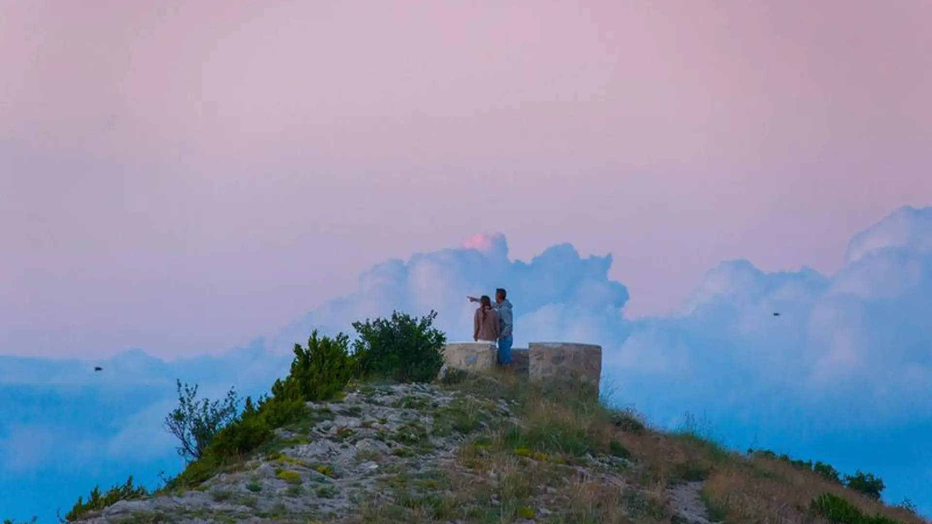
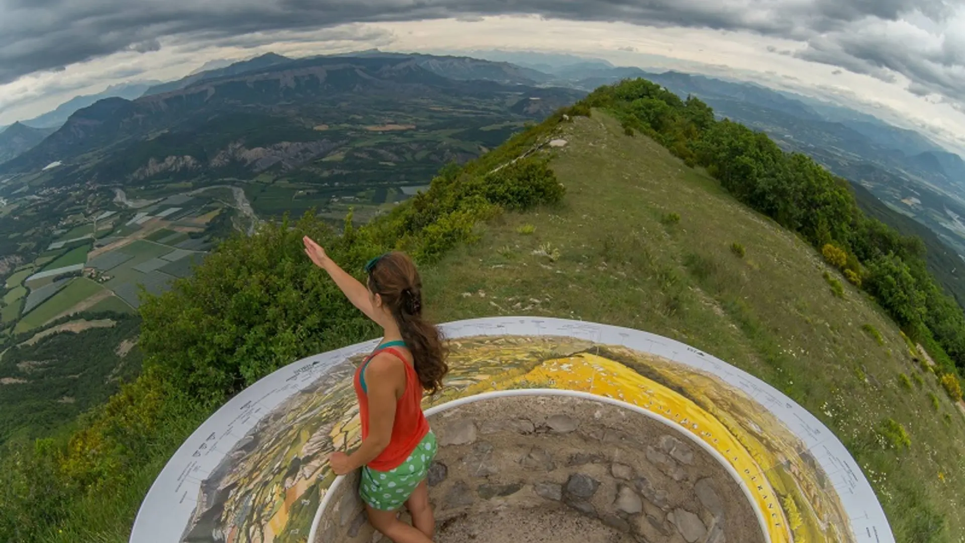
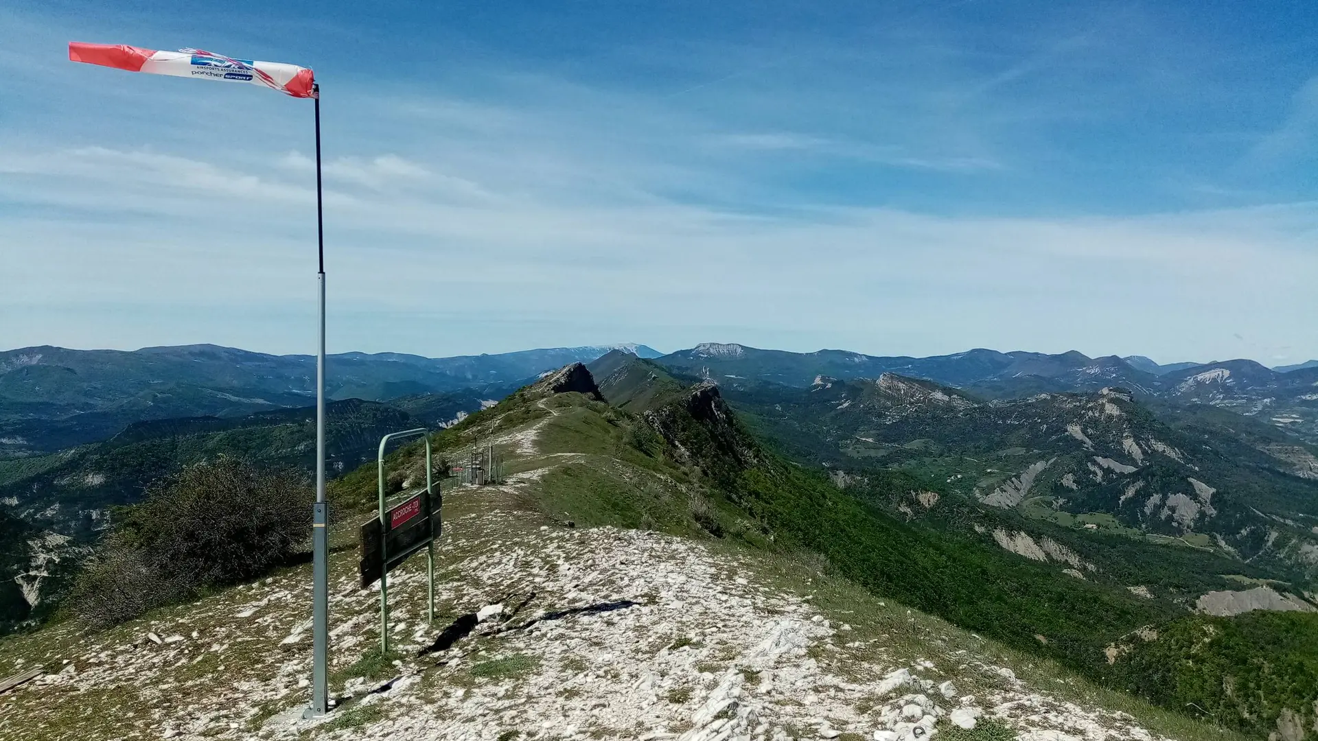
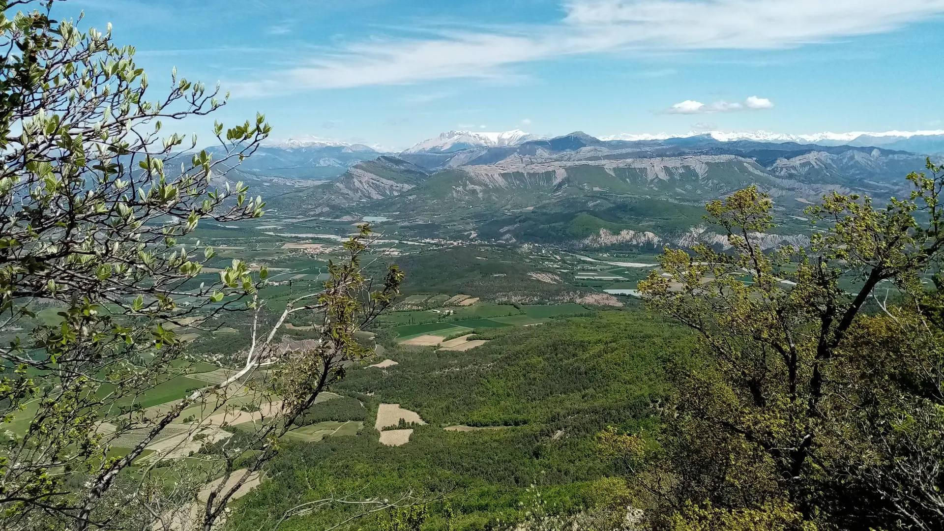
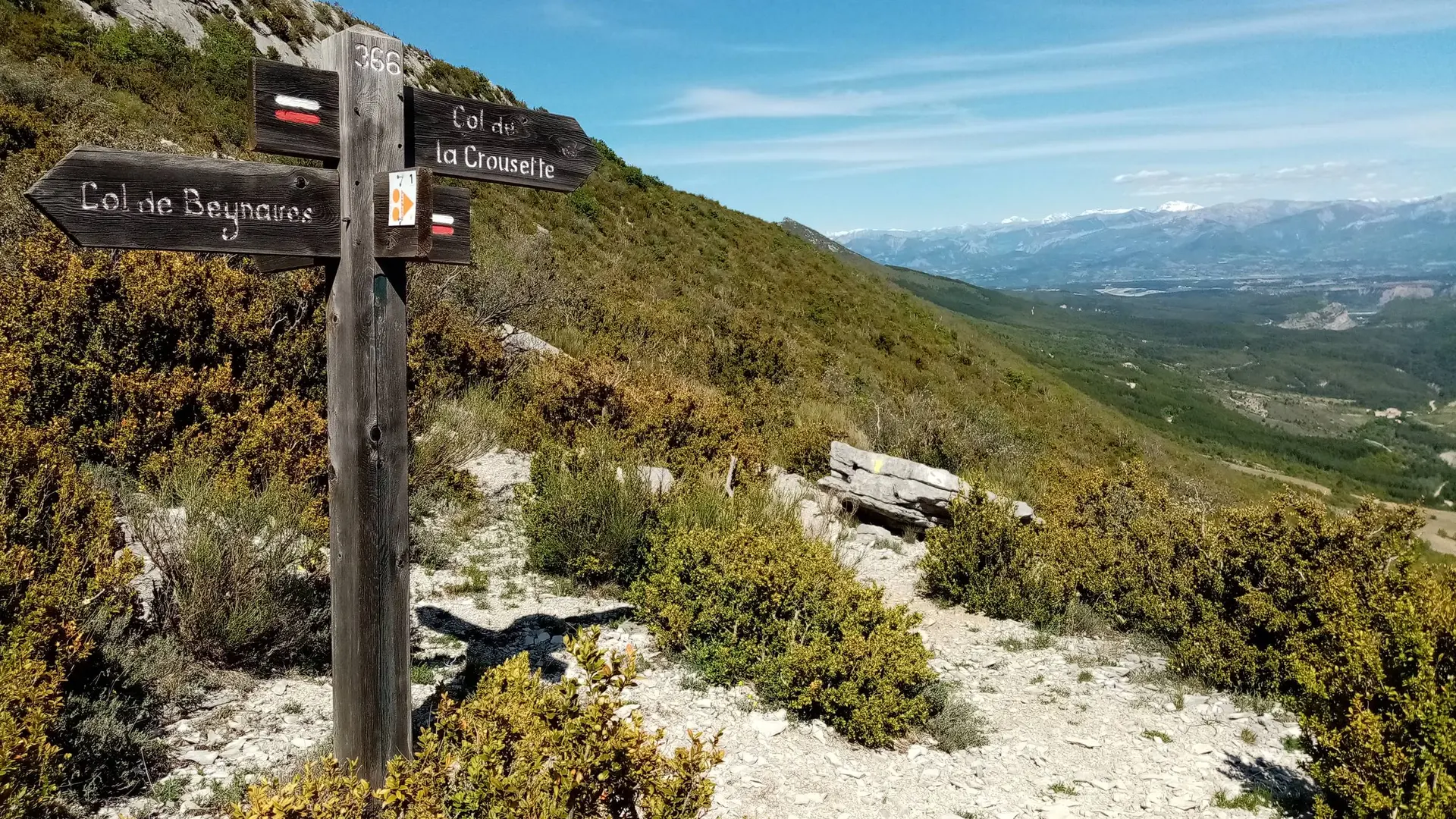
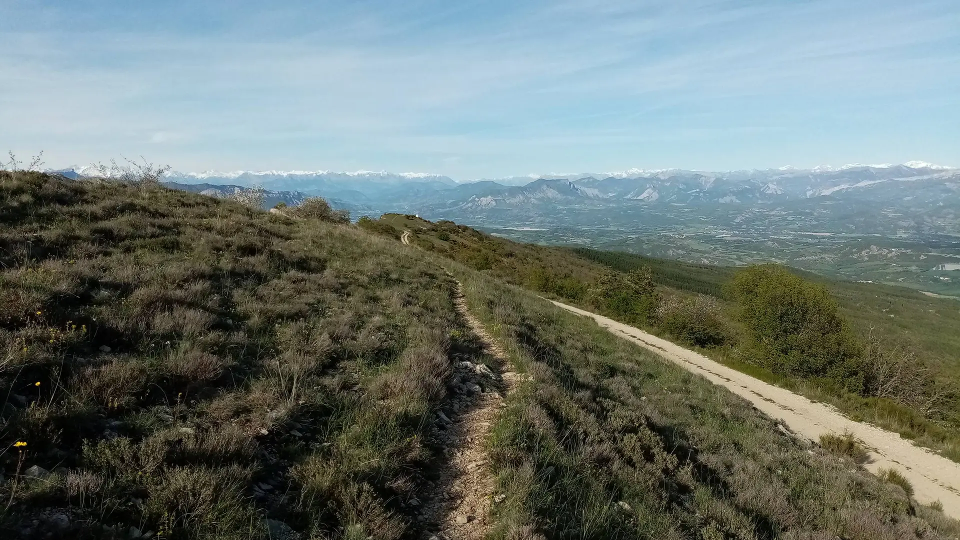
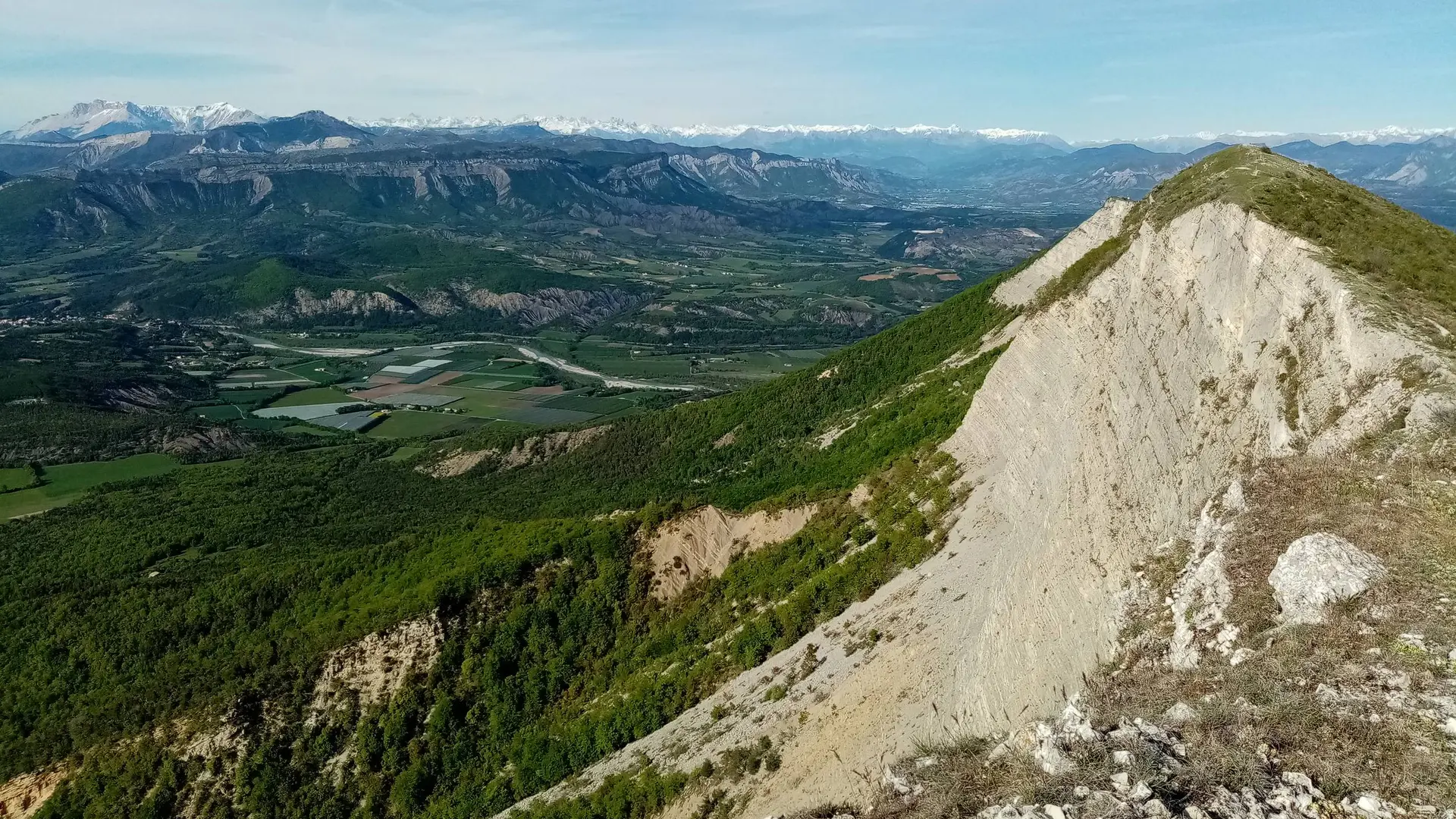
This return trip hiking offers a rise on Chabre Mountain and a section on its wonderful ridge. Alongside the ridge, you can enjoy a stunning panoramic view. The shady forest while hiking is also here to please you.
Medium
Read more
Tips
Take a lot of water with you
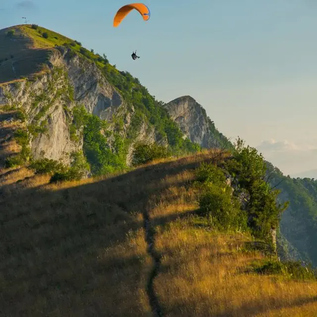
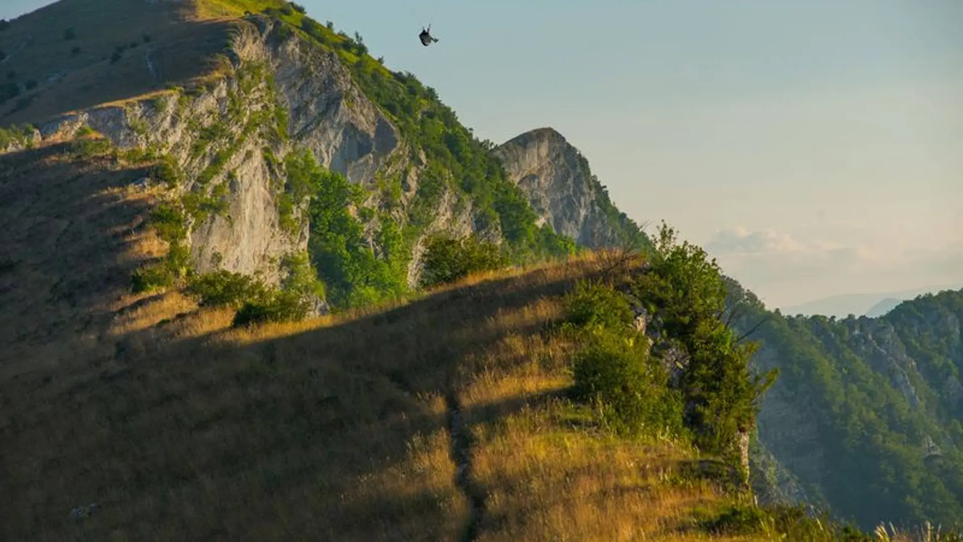
Discovery of Chabre Mountain, a famous hang-gliding site.