The mule track leading down from Col Muratone to Pigna is part of the ancient communication route between Saorge (Saorgio) in the Roya valley and Val Nervia. Along its route are numerous small agricultural and pastoral hamlets, now abandoned. A particular feature is the presence of kerbstones along large stretches of the mule track: fences formed by slabs driven vertically into the ground, which demarcated the public thoroughfare and also served as "railings". In this area, some stones placed in the same way at the edge of a terrace reach considerable heights, close to two meters.
Directions :
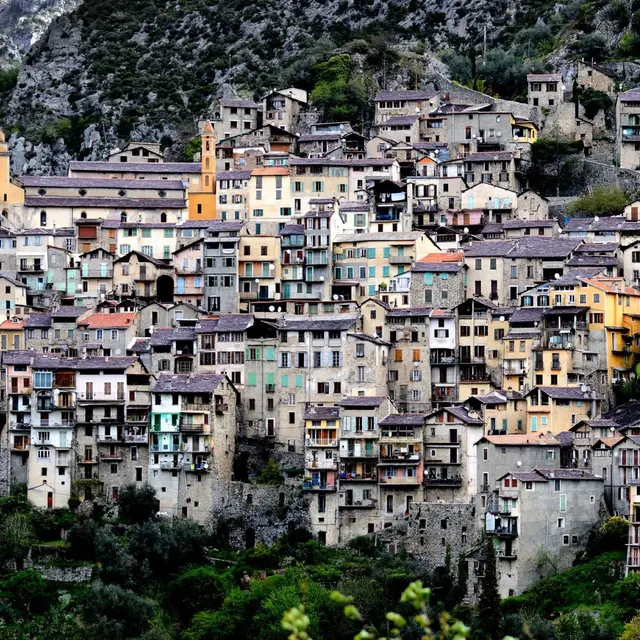
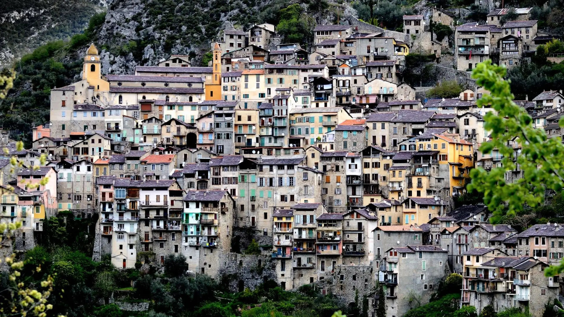
Park in Saorge's eastern quarters (parking lot along the RD 138 between the "Le Temps des cerises" retirement home and the Madone del Poggio church, as well as the 2 new parking lots further down).
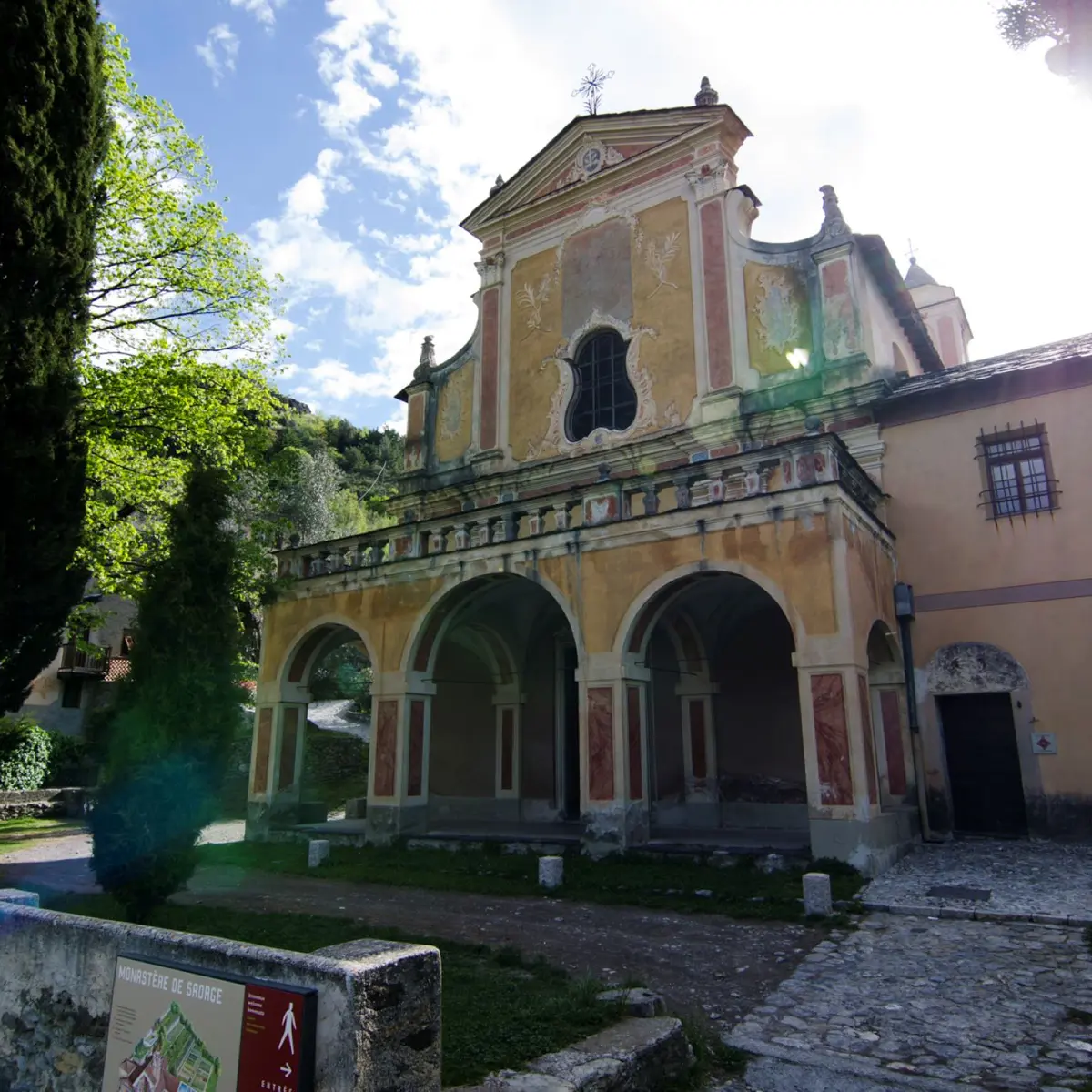
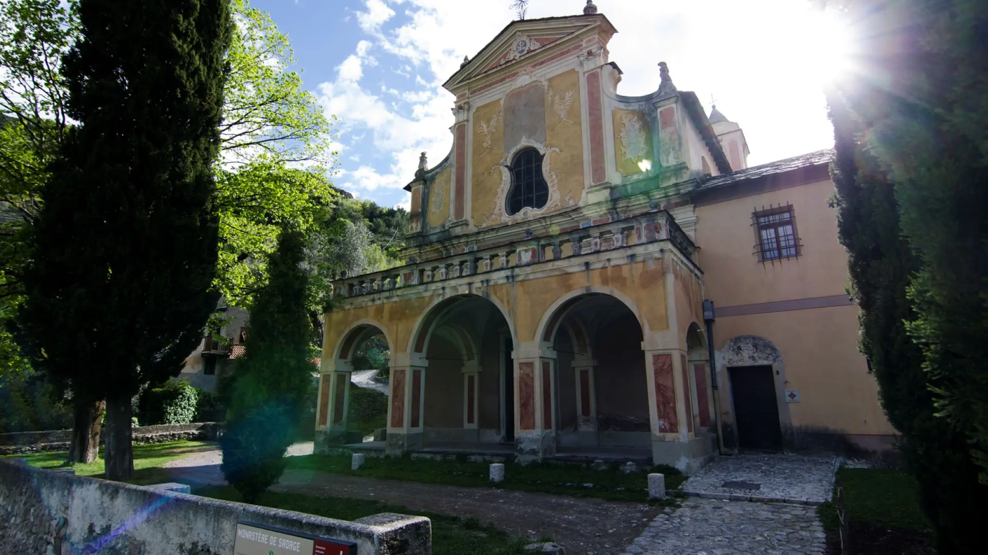
Head uphill towards the village, then turn right at marker 20 to the Baroque Franciscan monastery (a visit is highly recommended on another occasion!).
By public transport, from the Fontan-Saorge train station or by taking the Menton-Saorge line bus 25, you'll arrive on the west side: you'll have to cross the whole village to get to marker 20 and then to the monastery.
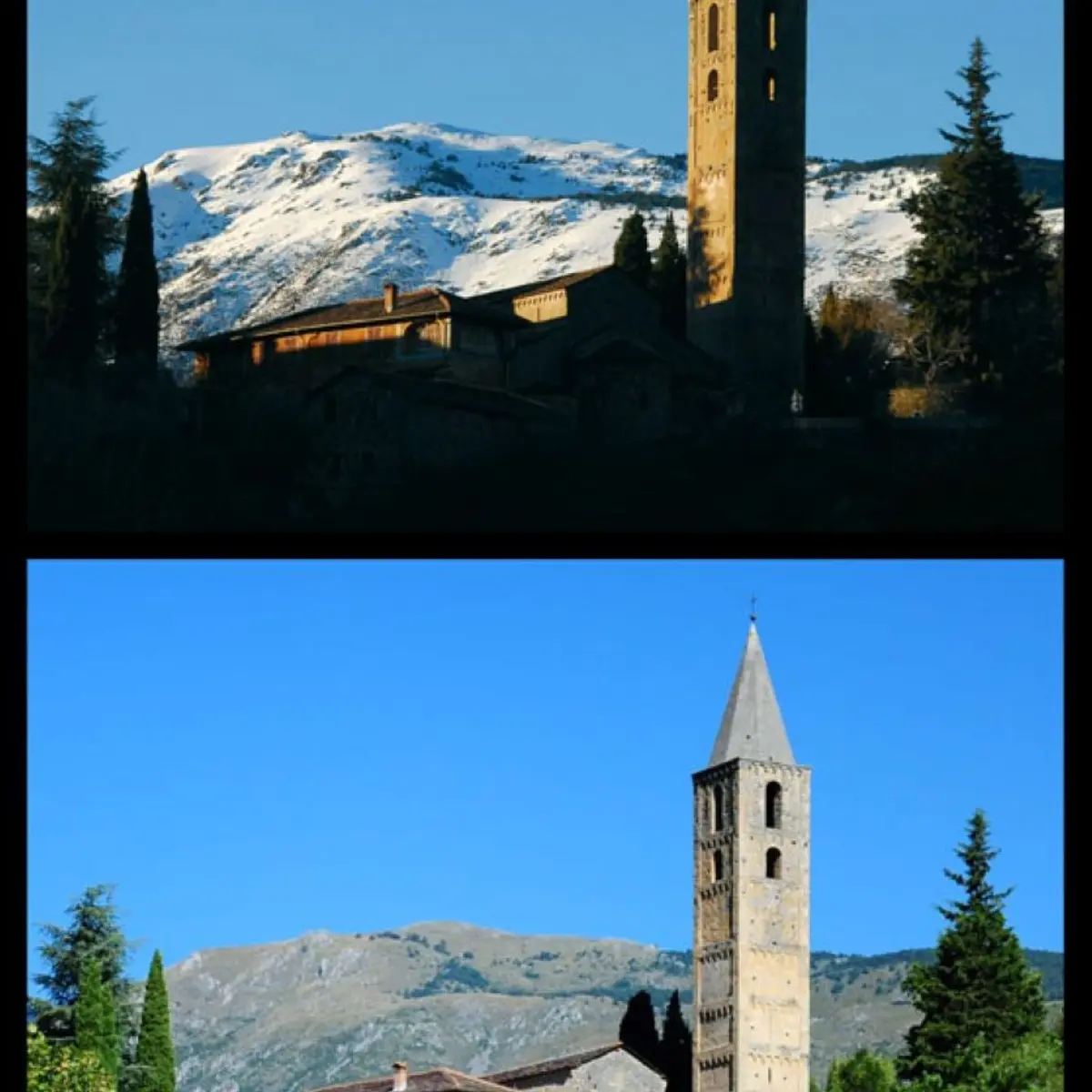
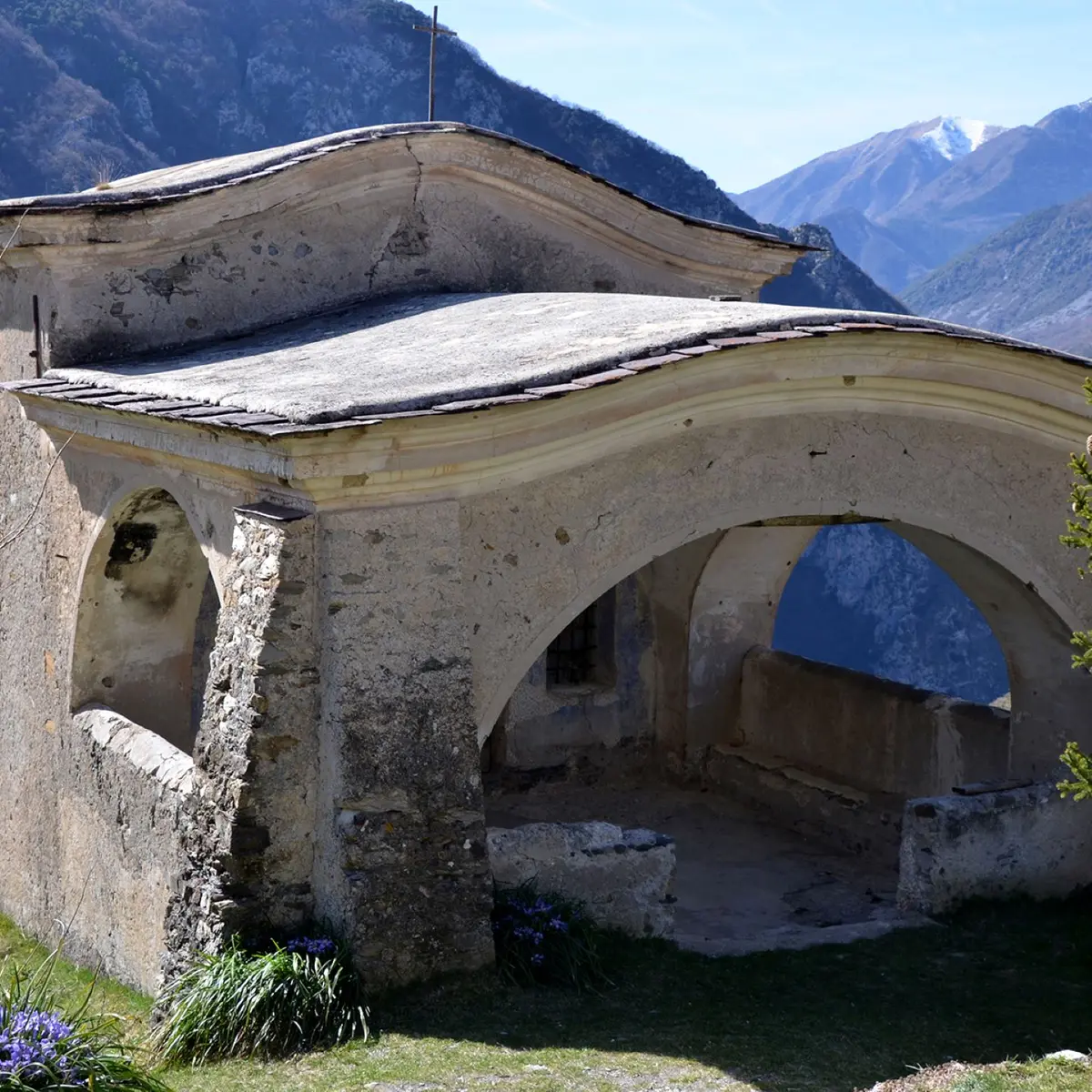
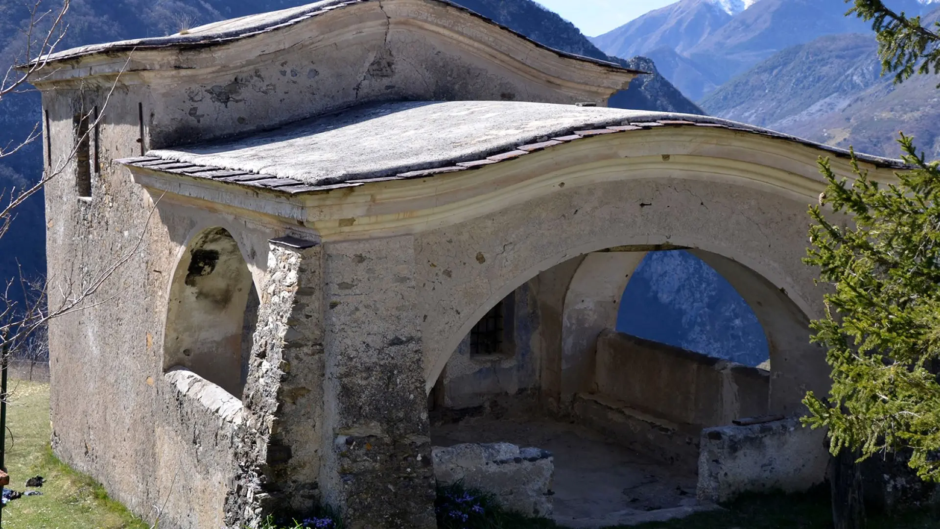
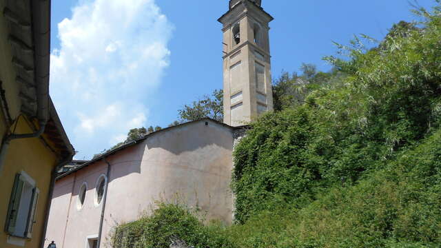
Take the GR52A calade to the left of the Monastère, towards the Sainte-Croix chapel. You can take a short break at one of the many rural chapels after a gentle half-hour walk.
At marker 163, just before the chapel, turn right towards chapelle Sainte-Anne and hameau de Castou, marker 168. From here, you can either take the forest track, or follow the path along it to the Castou bridge: cross it and head for the Madonina oratory.
The Bendola river flows beneath you, Europe's longest canyon, which rises on the border below the Marta balcony. You cross a passage obviously dug out of the rock with a crowbar, leaving behind casouns and hamlets (beacon 166) to tackle the many twists and turns of the Madonina: count them, nobody ever agrees on their number! to the oratory, beacon 169.
Below the Col de Muratone on the Italian side, the slopes are less steep than on the French side, ... and the trails are generally less well marked and less cleaned on our neighbors' side!
Turn left and take the left-bank path down to Pigna.
You can also reach the village via the right bank track, but it's very long - much longer than the path.
Take the bus to Ventimiglia, from where you can return to Saorge either by the Ventimiglia-Cuneo train (Trenitalia), or by the Zest bus line 25 Menton-Tende, which stops in Ventimiglia.
You can choose to book at Pigna or one of the superb surrounding villages for
Ask about snow conditions in winter: the Col de Muratone may be snow-covered.
This is a long hike, in a wild and little-frequented area: it is therefore imperative to take the usual precautions, bring suitable equipment, sufficient drinking water, a picnic and snacks to give you energy, a small medical kit, 1:25,000 scale maps...
Read more