See photos (4)

Cruella walking Cruella Tower

Sport, Pedestrian sports, Hiking itinerary in Breil-sur-Roya
Unresolved hours
1.7 km
1h 30min
Medium
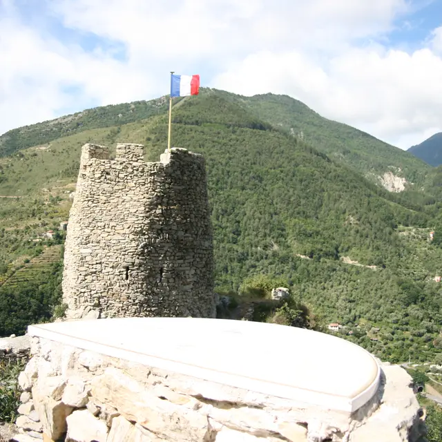
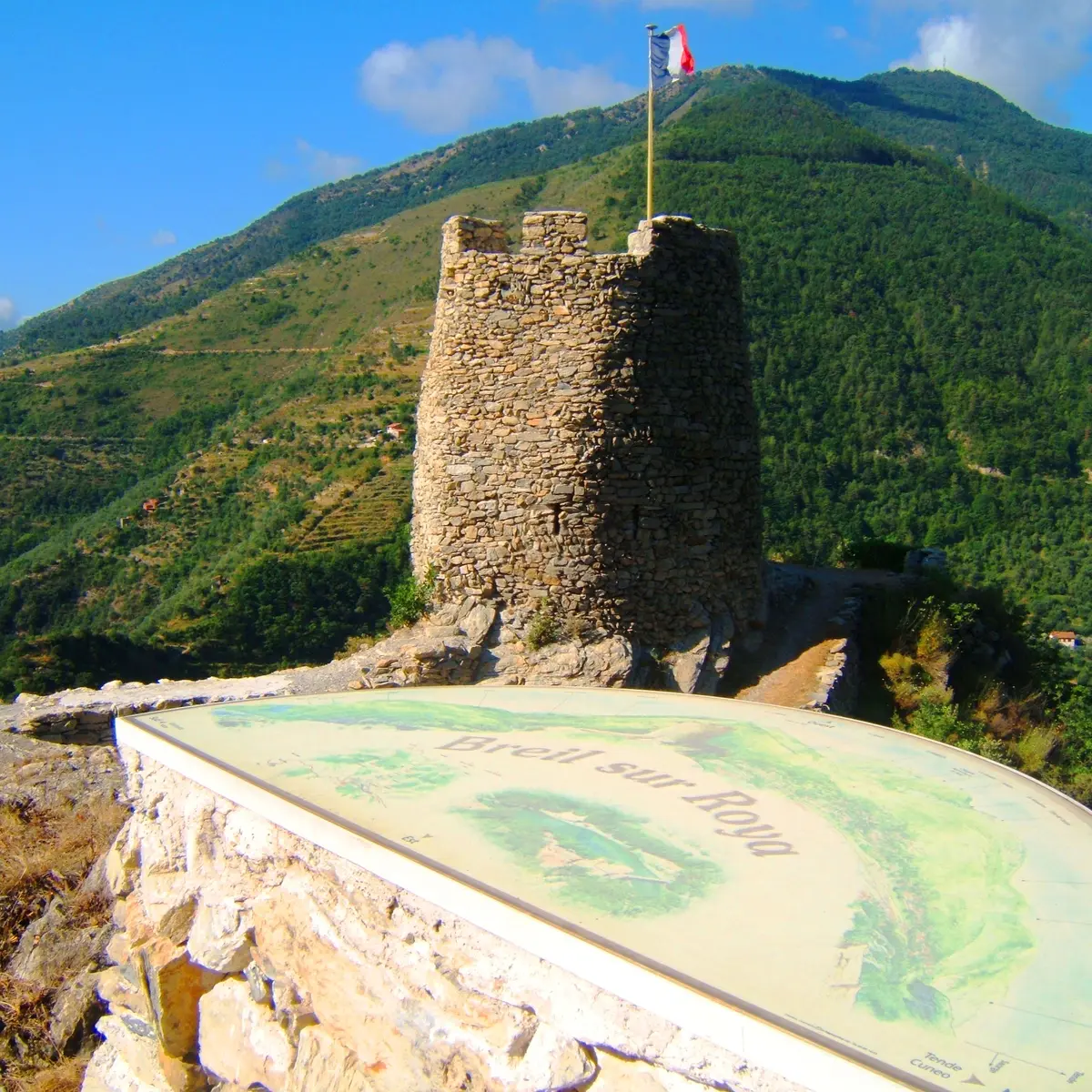
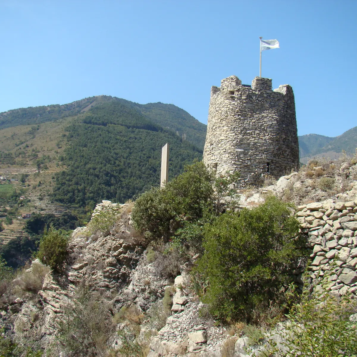
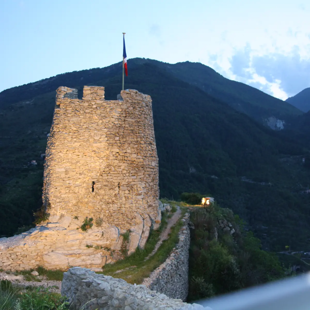
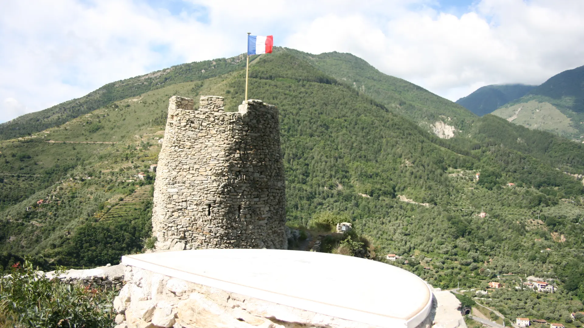
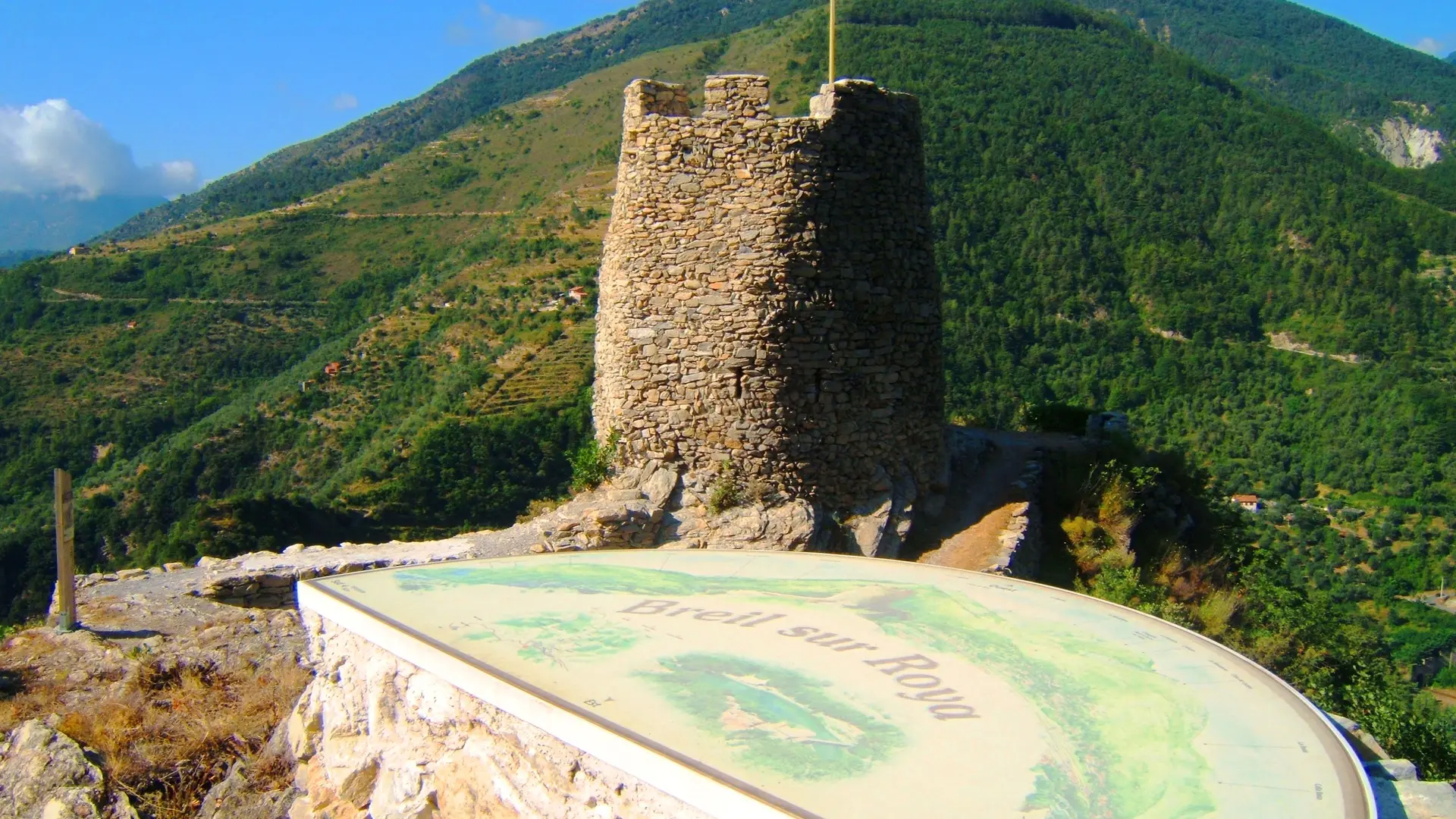
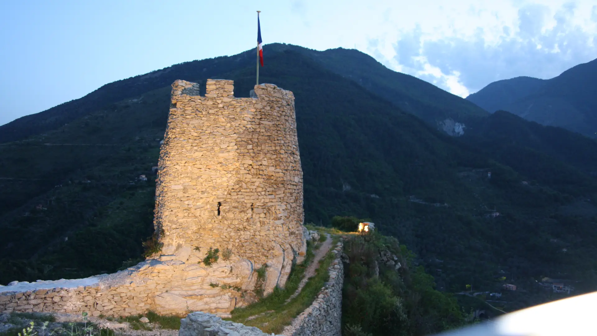
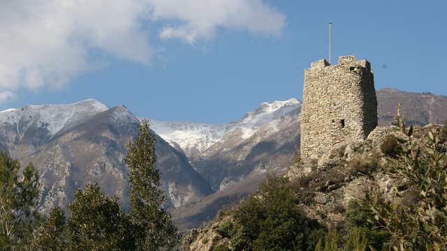
  • Average hike, accessible to all in/out. Path in the shade going up and in the sun going down. Panoramic view once you arrive at the Tour de la Cruella. Possibility to picnic on site, then return by the same (shorter) route, or by the south..

  • From the town hall, go up Boulevard Rouvier towards the Pont Supérieur. At the end of Boulevard Rouvier, turn right onto Rue Ciappera until you reach the parking lot on the left.
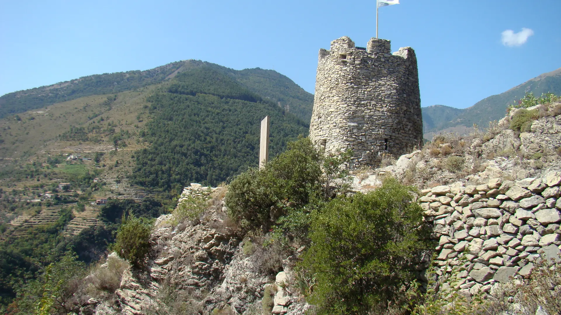
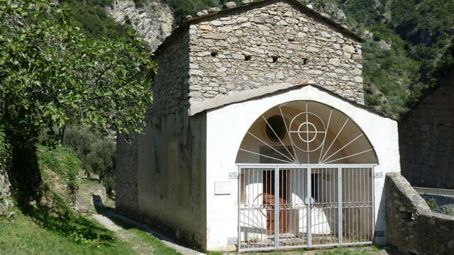
    At the end of the parking lot, take the trail that goes up to the Cruella. To go down again, take the «Way of the Irish» and arrive at the Gate of Genoa and the Chapel of Saint Anthony the Hermit.
  • Departure
    Breil-sur-Roya
  • Difference in height
    148.667 m
  • Plain text period
    All year round.
  • Environment
    • Mountain location
  • Spoken languages
    • French
  • Documentation
    GPX / KML files allow you to export the trail of your hike to your GPS (or other navigation tool)
149 meters of difference in height
Created with Highcharts 6.2.0Distance (km)Altitude (m)0 km0.1 km0.2 km0.3 km0.4 km0.5 km0.6 km0.7 km0.8 km0.9 km1 km1.1 km1.2 km1.3 km1.4 km1.5 km1.6 km250 m300 m350 m400 m450 m500 mHighcharts.com
  • Maximum altitude : 472 m
  • Minimum altitude : 289 m
  • Total positive elevation : 149 m
  • Total negative elevation : -149 m
  • Max positive elevation : 143 m
  • Min positive elevation : -131 m