See photos (6)

Cucuron Wine Trail

Sport, Pedestrian sports, Hiking itinerary in Cucuron
10.4 km
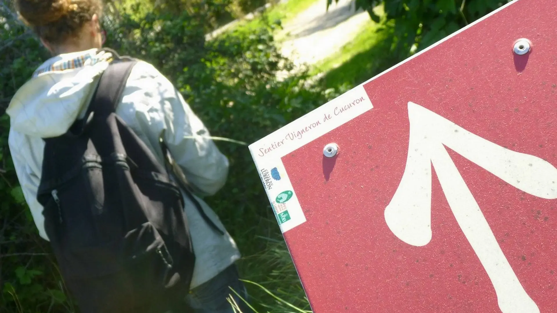
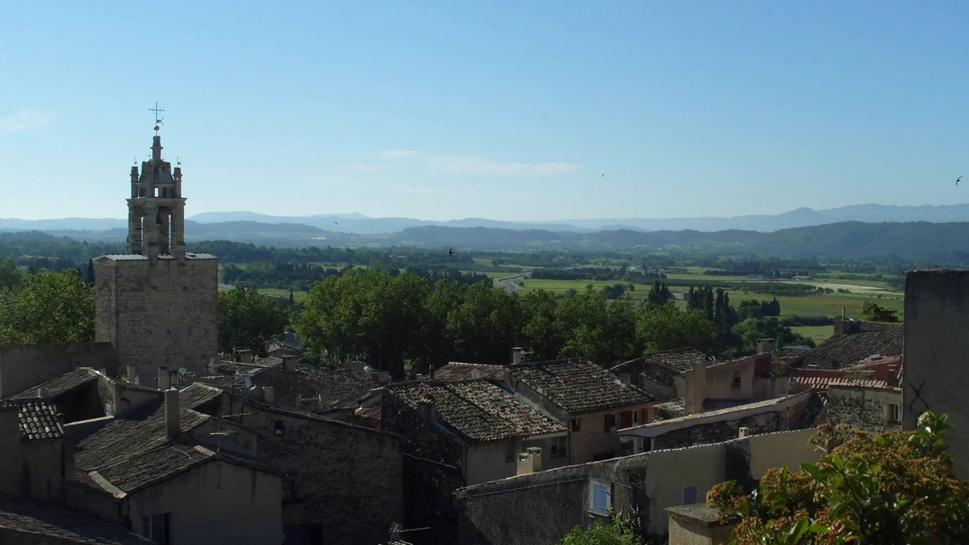
  • A small vineyard walk on both sides of the perched village of Cucuron, to discover the landscapes and wine-making know-how.
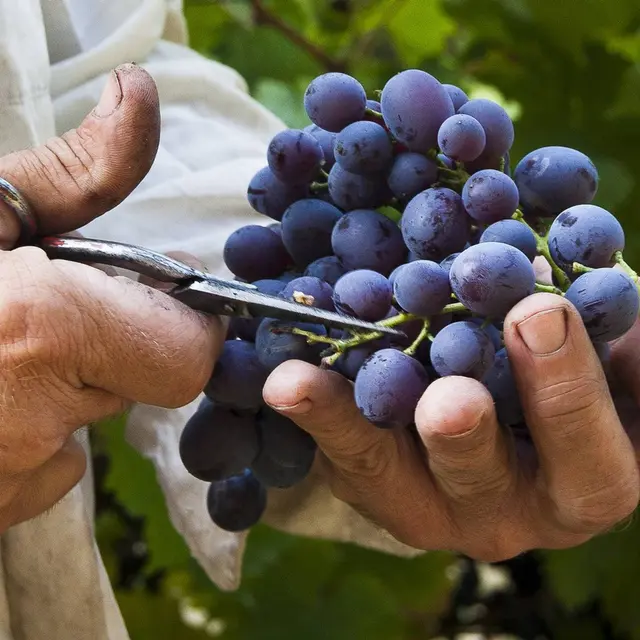
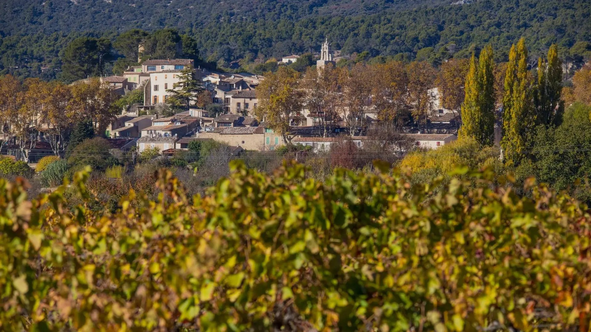
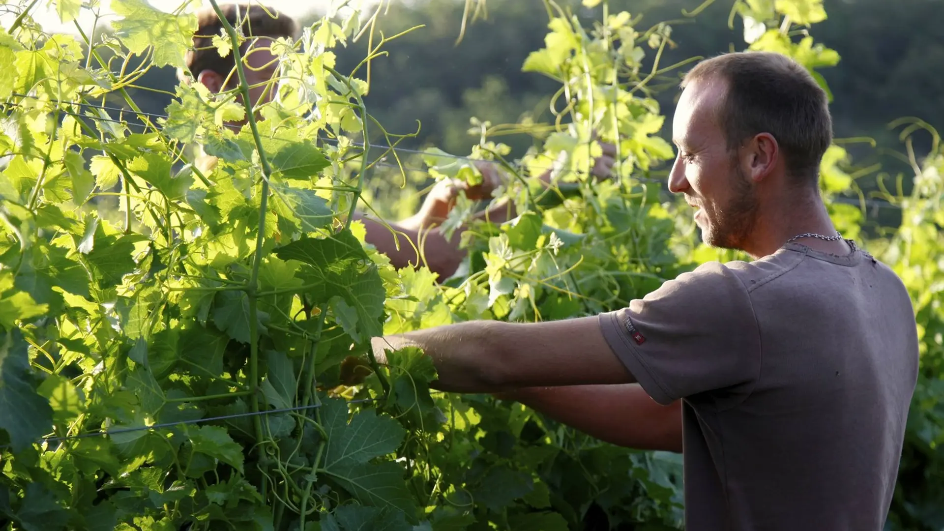
  • Go up the Pourrières course towards the village. Turn right, along the pond Cucuron and at the end of the square, turn left on the Gabarut road. Continue 100m on the right on chemin du Cagnard.
    1- At the exit sign of the village, turn left on a cross road. Cross the D56 and climb across chemin Sourd.
    2- At the Y, turn left on the crossing of Gramenon. At the tarmac, take the road to the chemin du Four à chaux on the left. Cross the Dte, sneaking through a small path. Continue descending,...
    Go up the Pourrières course towards the village. Turn right, along the pond Cucuron and at the end of the square, turn left on the Gabarut road. Continue 100m on the right on chemin du Cagnard.
    1- At the exit sign of the village, turn left on a cross road. Cross the D56 and climb across chemin Sourd.
    2- At the Y, turn left on the crossing of Gramenon. At the tarmac, take the road to the chemin du Four à chaux on the left. Cross the Dte, sneaking through a small path. Continue descending, cross the D27 (caution!), cross the bank, cross the D182 (caution!) and go right on the path to the tennis courts.
    3- Take a right on the boulevard du sud, leave the ark on your right and go up opposite the Rue de l'Enseigne. Continue on rue des Vaureilles. On the Place Jean-Joseph Ferréol, go down the street to reach the small roundabout.
    4- Continue in front, along the cemetery and continue on a path. Turn right and continue 800m.
    5- At the "Gallon" crossroad, turn right on the road Apt. 200m further, turn right on the trail and follow the vineyards. At the road, turn right, go back to the cemetery (point 3) and continue on the course Saint-Victor to return to the cellar of the vine growers of Cucuron.

    Very easy
  • Departure
    Cucuron
  • Difference in height
    107 m
  • Departure : Cucuron Tourist Office (Cours Pourrières)..
    Arrival : Cucuron Tourist Office.
    Road access : 13km north-west of Pertuis, by Ansouis and the D56..
    Parking recommended : Parking in front of the Tourist Office and Cave Louérion, north-east of the village of Cucuron (Cour Pourrières). .
  • Documentation
    GPX / KML files allow you to export the trail of your hike to your GPS (or other navigation tool)
107 meters of difference in height
  • Maximum altitude : 356 m
  • Minimum altitude : 320 m
  • Total positive elevation : 107 m
  • Total negative elevation : -107 m
  • Max positive elevation : 29 m
  • Min positive elevation : -25 m