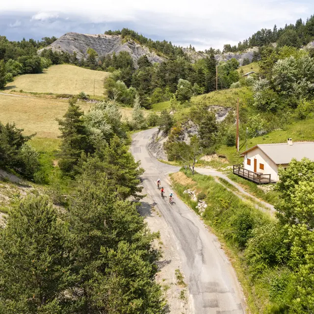
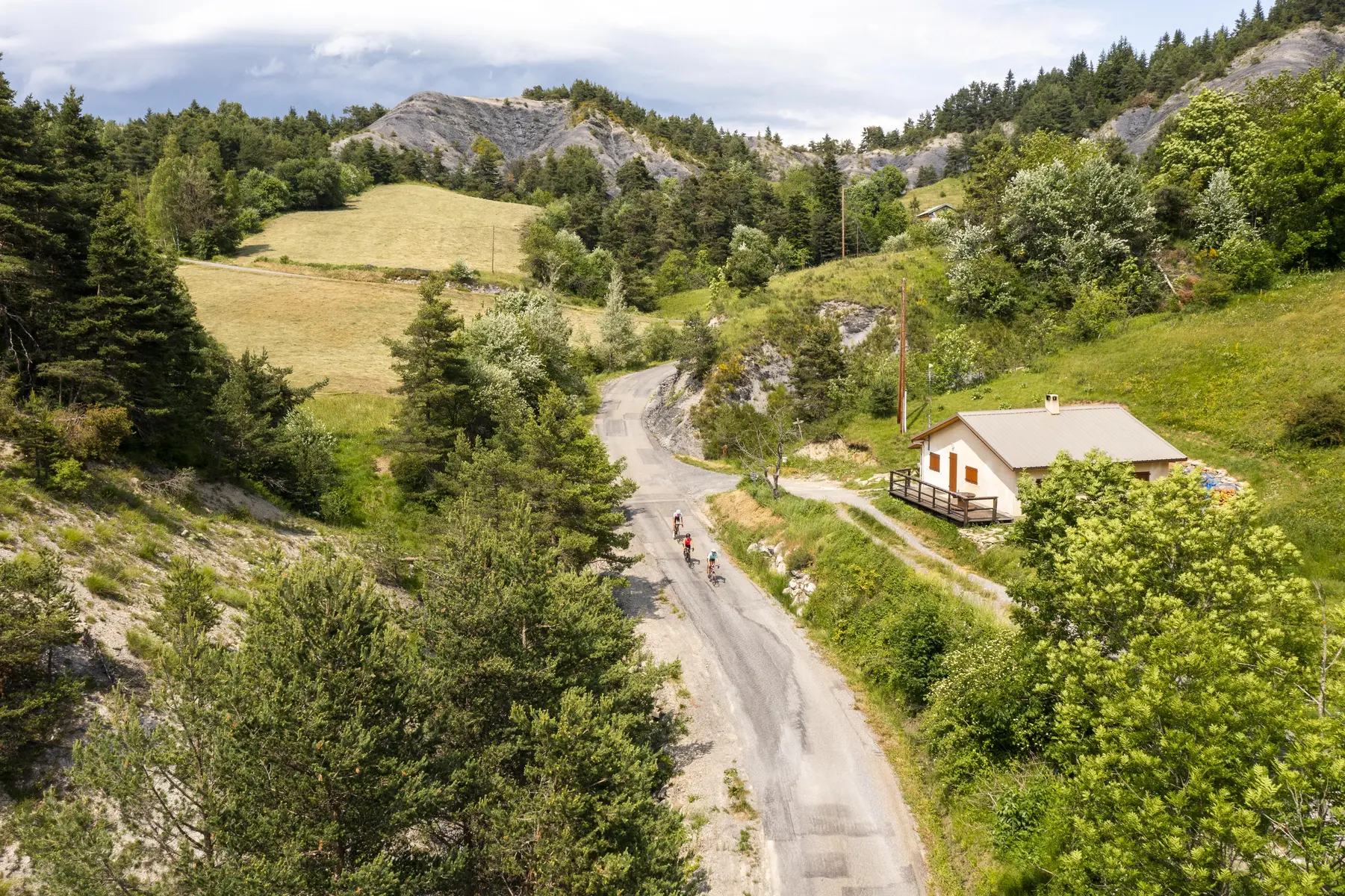
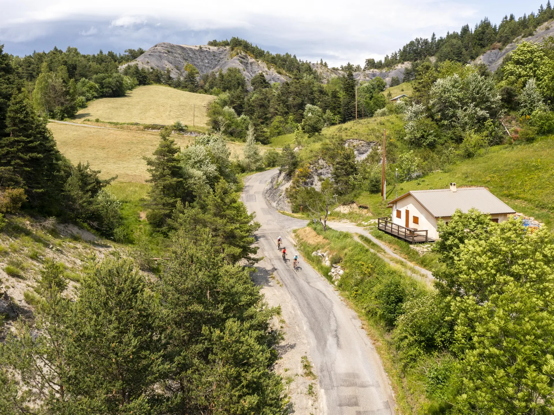
Leapfrog between the Blanche valley and the Bès valley, this small mountain loop covers part of the Memory of the Earth Route of the UNESCO Geopark of Haute-Provence.
It passes, among other things, by the oldest rocks in the region (300 million years old!) and by the steep climb of the Col du Fanget (7,5km at 11% average).
Departure: Seyne 1200m > Col de Maure 1346m > Verdaches 1124m > Col du Fanget 1459m > Seyne 1200m.
Read more
Accepted customers
Level bue - Medium
Medias
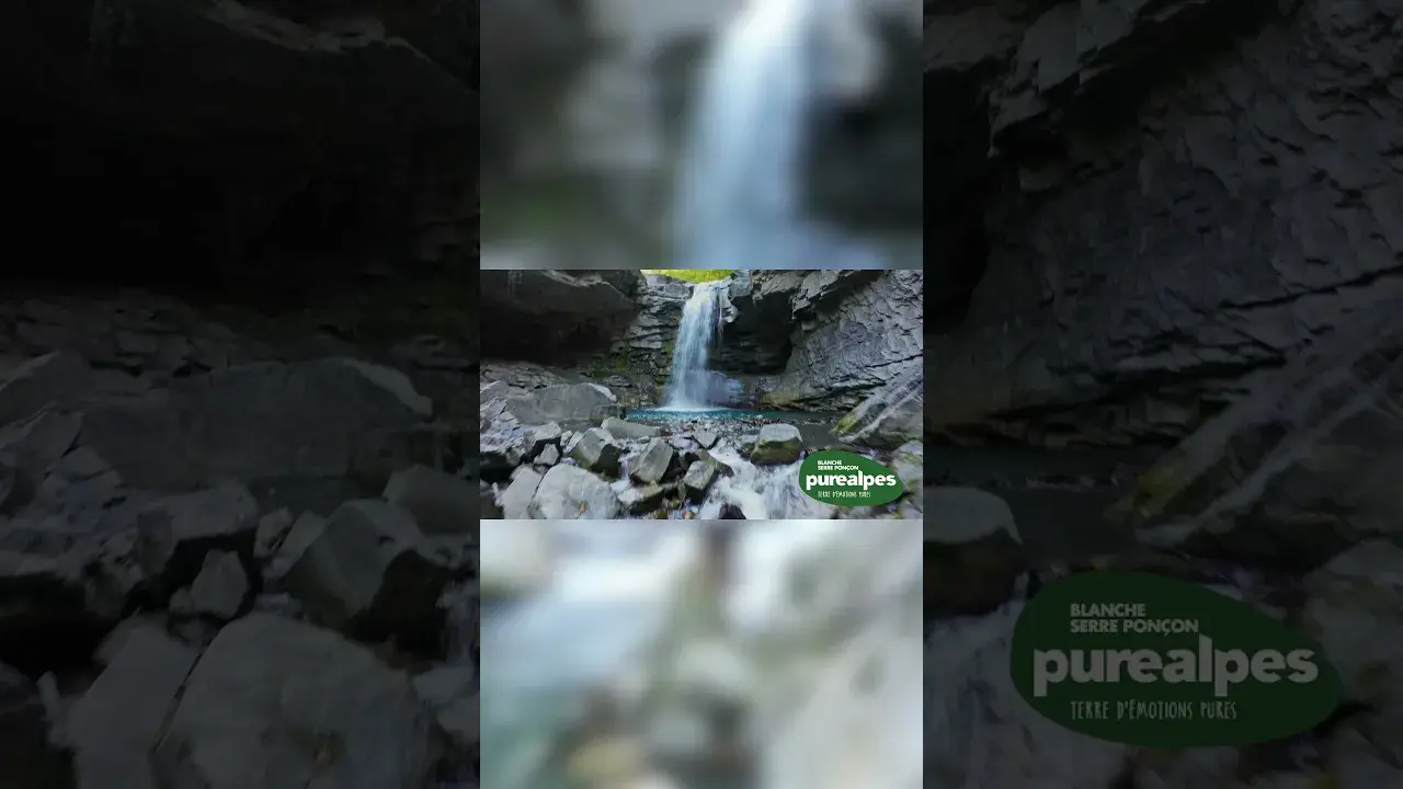
survol des clues de barles et cascade du saut de la pie