Cyclistes

Cyclo n°12 - Les 4 Cols

Sport, Cycling sports, Cycle tourism route in Seyne
70.7 km
4h
Very difficult
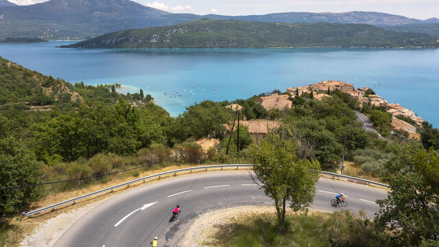
  • Four varied passes (Maure, Le Fanget, Les Fillys, Saint-Jean) to tame to discover the alpine landscapes which make up the setting of the Blanche valley and the shores of Lake Serre-Ponçon.

  • This “figure 8” route allows you to return to the car to refuel in the middle of the outing!

    Departure: Seyne 1200 m
    Col de Maure 1346 m
    Col du Fanget 1459 m
    Accordingnet 1100 m
    Col des Fillys 1322 m, La Bréole
    Col St Jean 1333 m
    Seyne 1200 m.

    This information is given for information purposes only :
  • Departure
    Seyne
  • Difference in height
    1743.8 m
  • Environment
    • In the country
    • Forest location
    • Mountain view
    • Mountain location
    • Isolated
    • Panoramic view
  • Spoken languages
    • French
  • Documentation
    GPX / KML files allow you to export the trail of your hike to your GPS (or other navigation tool)
  • Accepted customers
    • Level black - very hard
1744 meters of difference in height
  • Maximum altitude : 1465 m
  • Minimum altitude : 944 m
  • Total positive elevation : 1744 m
  • Total negative elevation : -1744 m
  • Max positive elevation : 171 m
  • Min positive elevation : -325 m
Services
  • Equipment
    • Public WC
    • Car park
    • Free car park