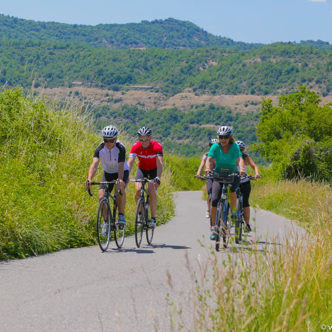
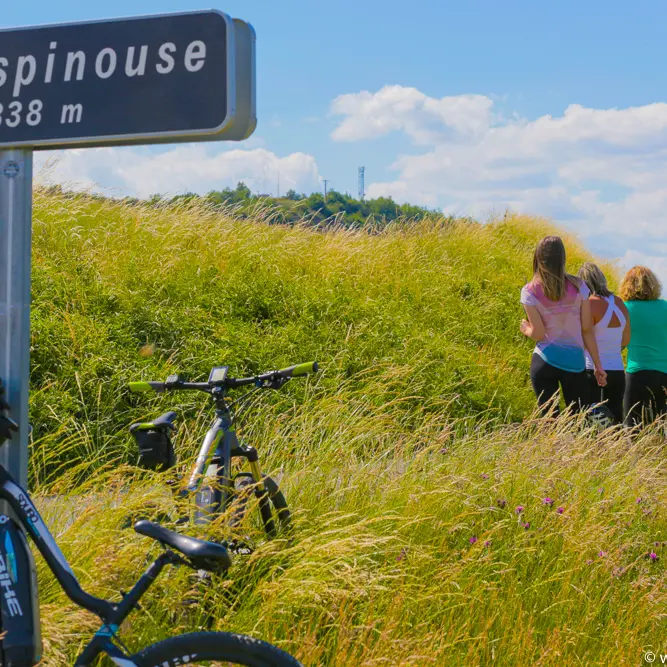
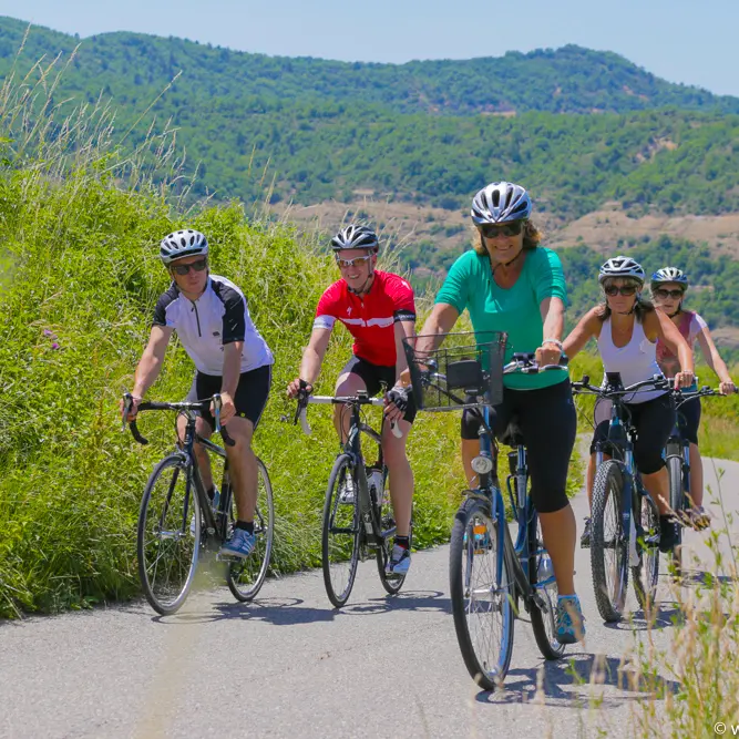
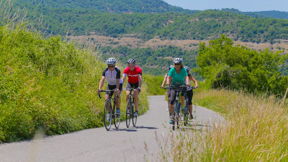
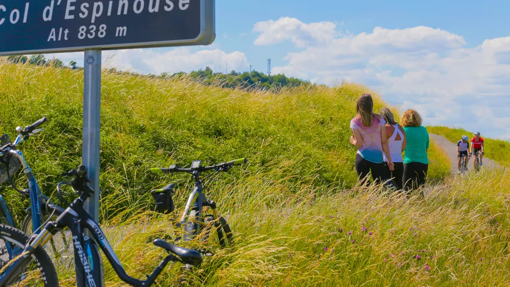
On the Route des Galets du Géoparc, you will cross the Asse, a beautiful river, twice. On the climb to the Col d'Espinouse, stop in the shade of the Pierre d'Arc oak, listed as a remarkable tree, and enjoy the panorama when you reach the pass.
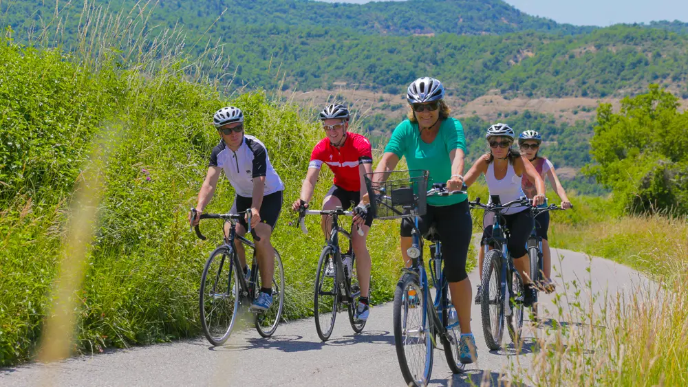
A 58km circuit through hills, lavender fields and Provençal villages.
From Digne les Bains, take the direction of Nice, then the Chaffaut road before leaving the city.
After the golf course, turn left (D17) and reach Mézel, where the Asse Valley begins. Cross the village and continue on the D907. After Estoublon, turn right at La Bégude. Cross Bras d'Asse and Saint Jeannet.
The route then takes you up the Col d'Espinouse (10.4km at 4%) which culminates at 1.119 m from where you can enjoy a panorama of Digne les Bains and the peaks of the Southern Alps.
Return to Digne les Bains via Le Chaffaut (D12).
Read more