img-name-mising

"Dromar' cycling path

Sport, Cycling sports, Cycle tourism route in Saintes-Maries-de-la-Mer
21.6 km
  • In the footsteps of the traditions of Camargue ... Discover this nice little bike loop from Saintes-Maries-de-la-Mer.
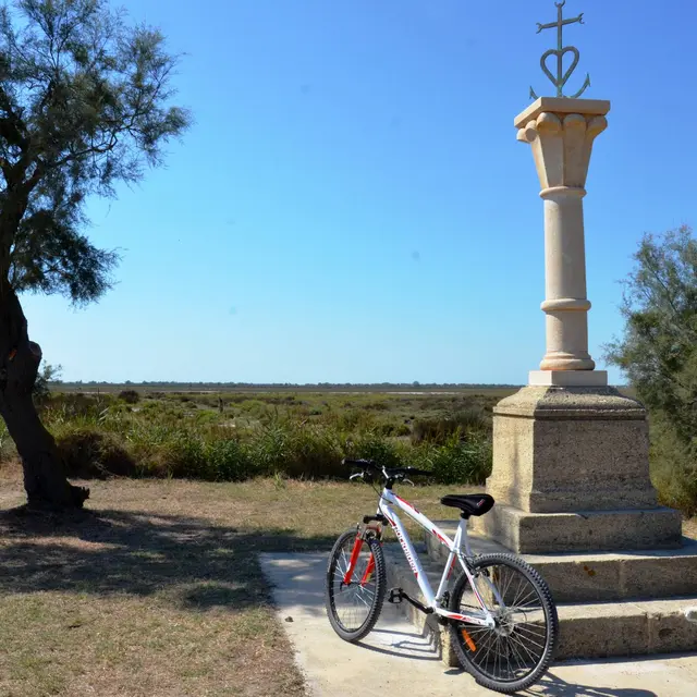
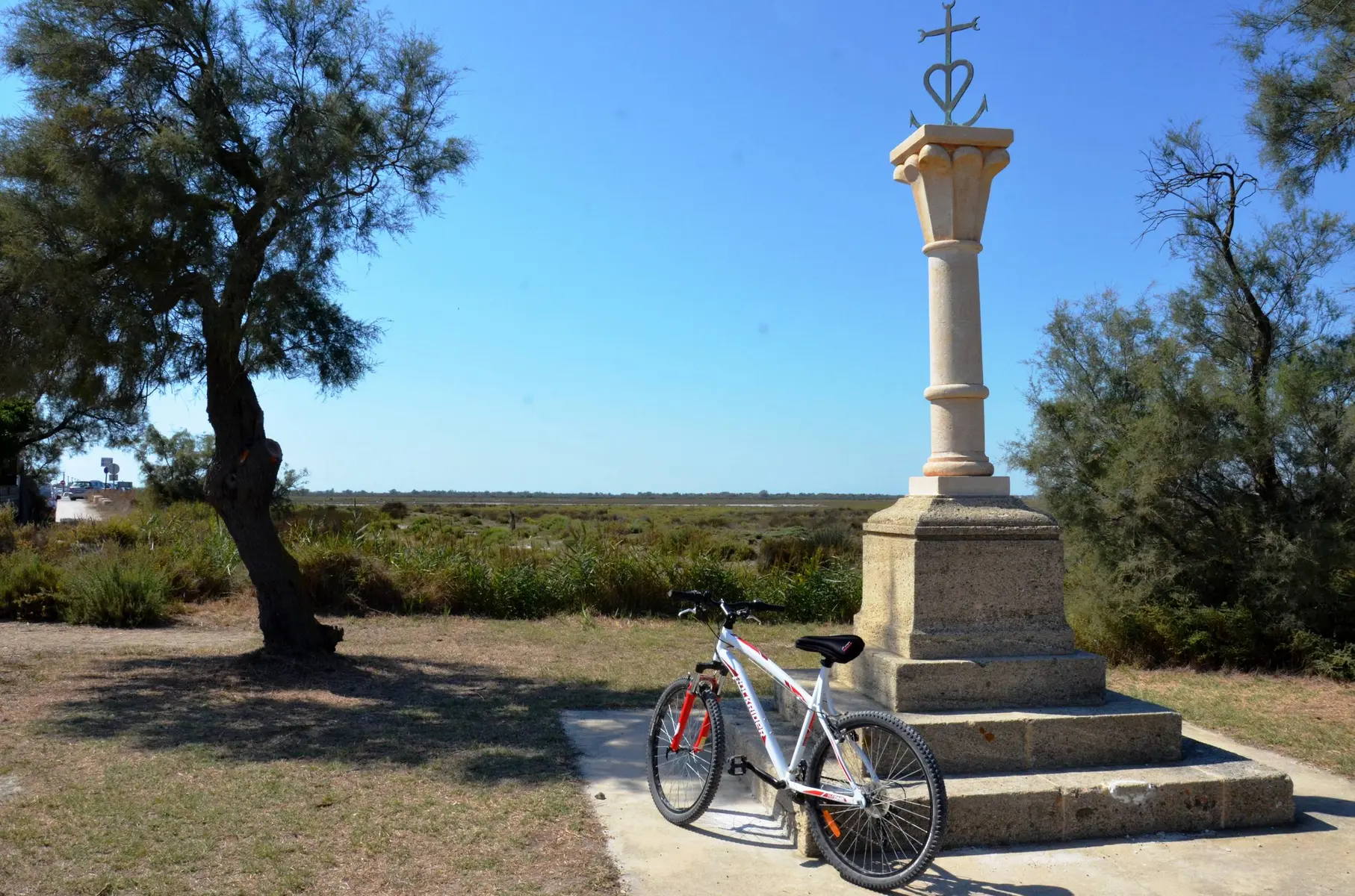
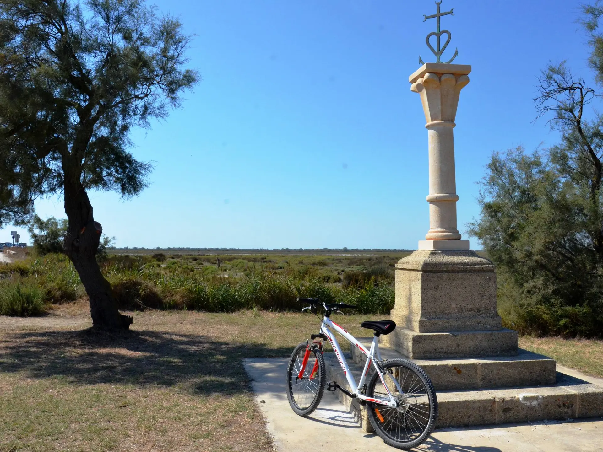
  • Back to the Tourist Office, head left on Van Gogh Avenue, towards Aigues-Mortes. Go along the Grau d'Orgon and the Petit-Rhône, on the D38.
    1 - After 4 km, turn right, Chemin de Port Dromar. Continue for more than 1 km.
    2- At the end of the road, turn right, Chemin Bas des Launes. Walk along Etang des Launes until you reach the D570.
    3 - At the intersection with the D570, cross it and take the dirt road on the right, parallel to the D570. Continue straight for about 1.5 km.
    4 - Turn left...
    Back to the Tourist Office, head left on Van Gogh Avenue, towards Aigues-Mortes. Go along the Grau d'Orgon and the Petit-Rhône, on the D38.
    1 - After 4 km, turn right, Chemin de Port Dromar. Continue for more than 1 km.
    2- At the end of the road, turn right, Chemin Bas des Launes. Walk along Etang des Launes until you reach the D570.
    3 - At the intersection with the D570, cross it and take the dirt road on the right, parallel to the D570. Continue straight for about 1.5 km.
    4 - Turn left before the roubine (stream). Continue the path that runs along the roubine. Pass the small bridge and continue to the right. Continue straight and turn right on the road to Cacharel and cross the village to regain the starting point of the circuit, the Tourist Office of Saintes-Maries-de-la-Mer.

    Easy
  • Departure
    Saintes-Maries-de-la-Mer
  • Difference in height
    23.7702 m
  • Departure : Tourist Office, les Saintes-Maries-de-la-Mer.
    Arrival : Les Saintes-Maries-de-la-Mer.
    Road access : 24 km south of Arles, by the D570 then the D36..
    Parking recommended : Parking Avenue Théodore Aubanel, Les Saintes-Maries-de-la-Mer .
    Public transport : Envia transport network : Line 20 > Arles/Les Saintes-Maries-de-la-Mer by Albaron (free bikes racks) >> www.tout-envia.com; Www.pacamobilite.fr .
  • Documentation
    GPX / KML files allow you to export the trail of your hike to your GPS (or other navigation tool)
24 meters of difference in height
  • Maximum altitude : 6 m
  • Minimum altitude : -3 m
  • Total positive elevation : 24 m
  • Total negative elevation : -21 m
  • Max positive elevation : 4 m
  • Min positive elevation : -4 m