From the Centre Montagne, you'll find yellow signs indicating "Clairière du Lauzin": take the left-hand track which crosses the meadow to reach the undergrowth, the wide track climbs up and then meets a fork in the road, take the right-hand path to continue up into the heart of the Bois du Villar.
You'll soon come to a fork in the road (1430 m), with the remains of mines on either side.
Bend right, cross the torrent and climb the forest trail furthest to the left, ignoring a start on the right and, after a steep incline, leave the trail at the bend to climb uphill to a fork (approx. 1510 m).
Turn left onto the forest path (Lauzin arrow) and join the pastoral road. Immediately descend the left-hand path, cross the torrent, before bending right, and continue along a bumpy crossing below the pastoral road before finding it again (1500 m). Cross it and take the path opposite to reach a fork. (1510 m).
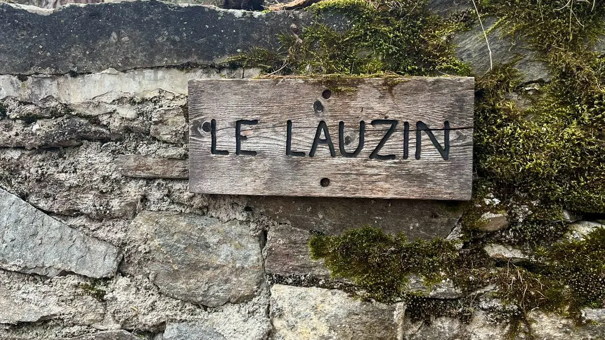
Descend to the left, skirting the clearing of the Domaine du Lauzin.
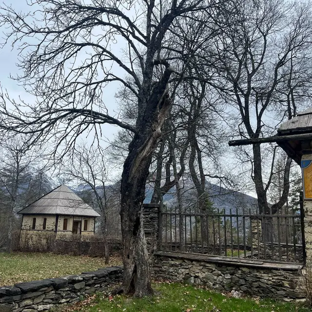
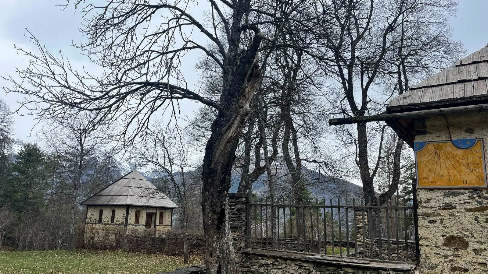
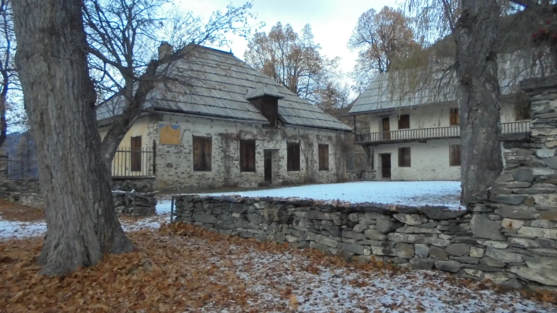
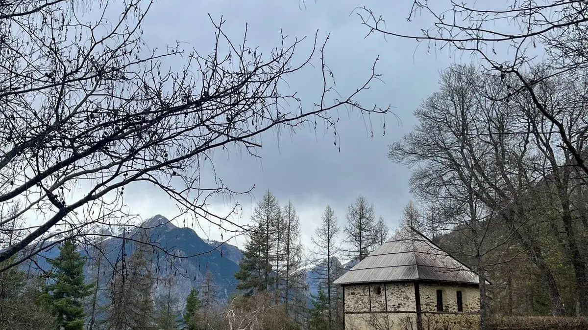
Follow the path down through the forest to a small road. Go down this road (see the Saint Laurent chapel on the left).
At the crossroads, turn left to return to the parking lot along rue des Ayes and rue de l'Olivier.
Read more