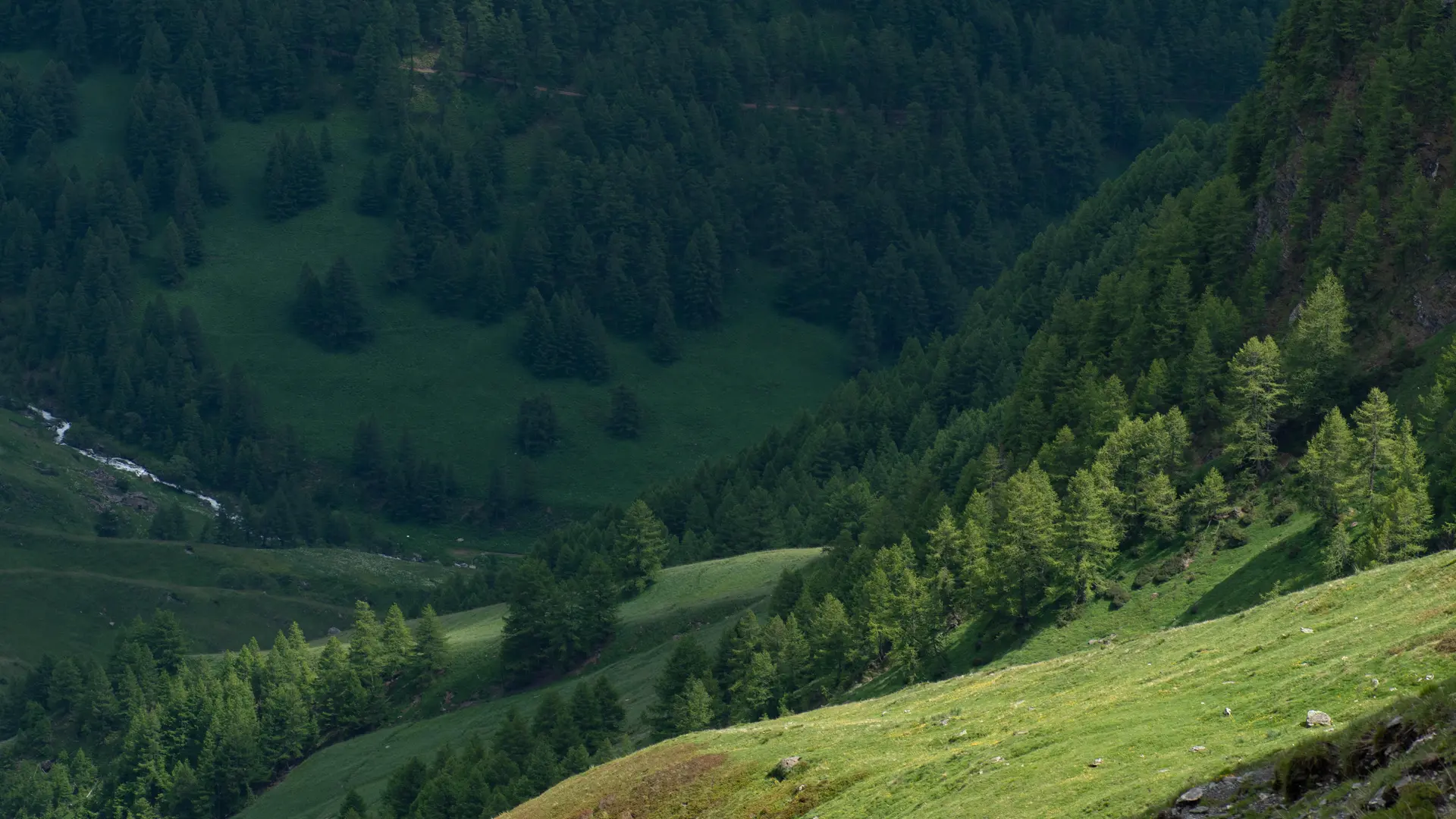
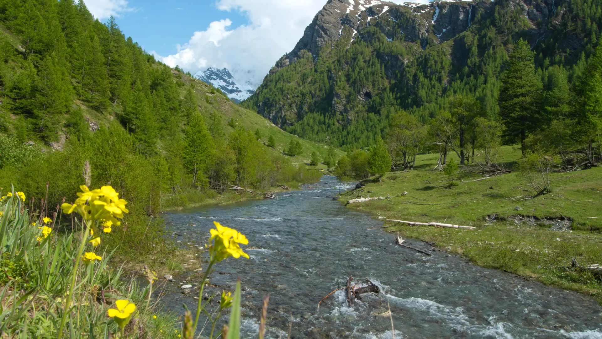
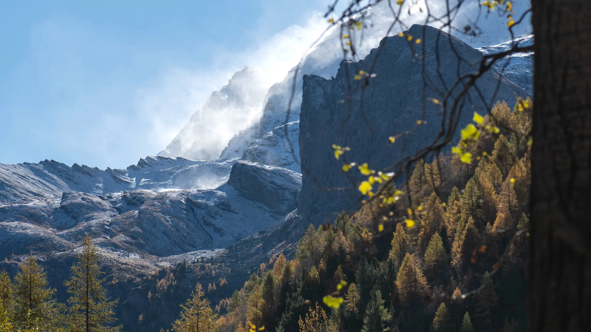
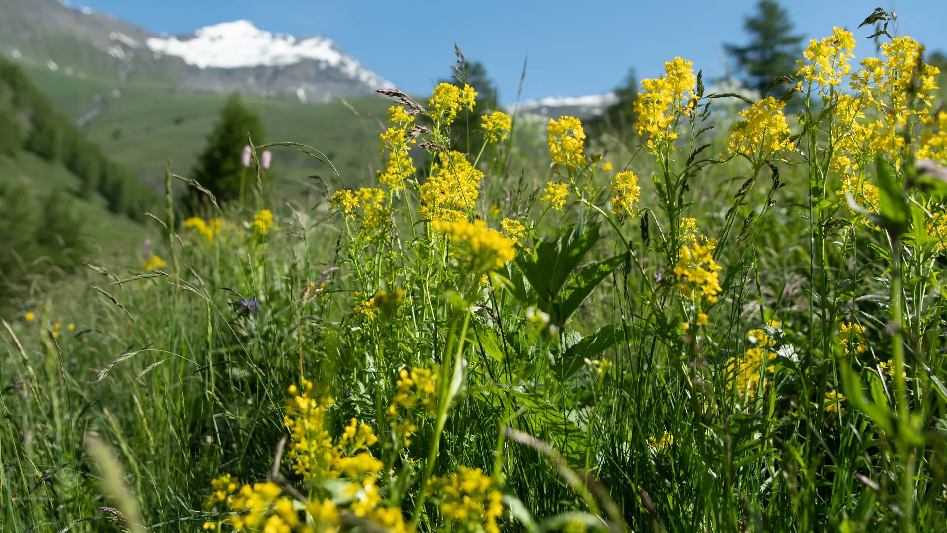
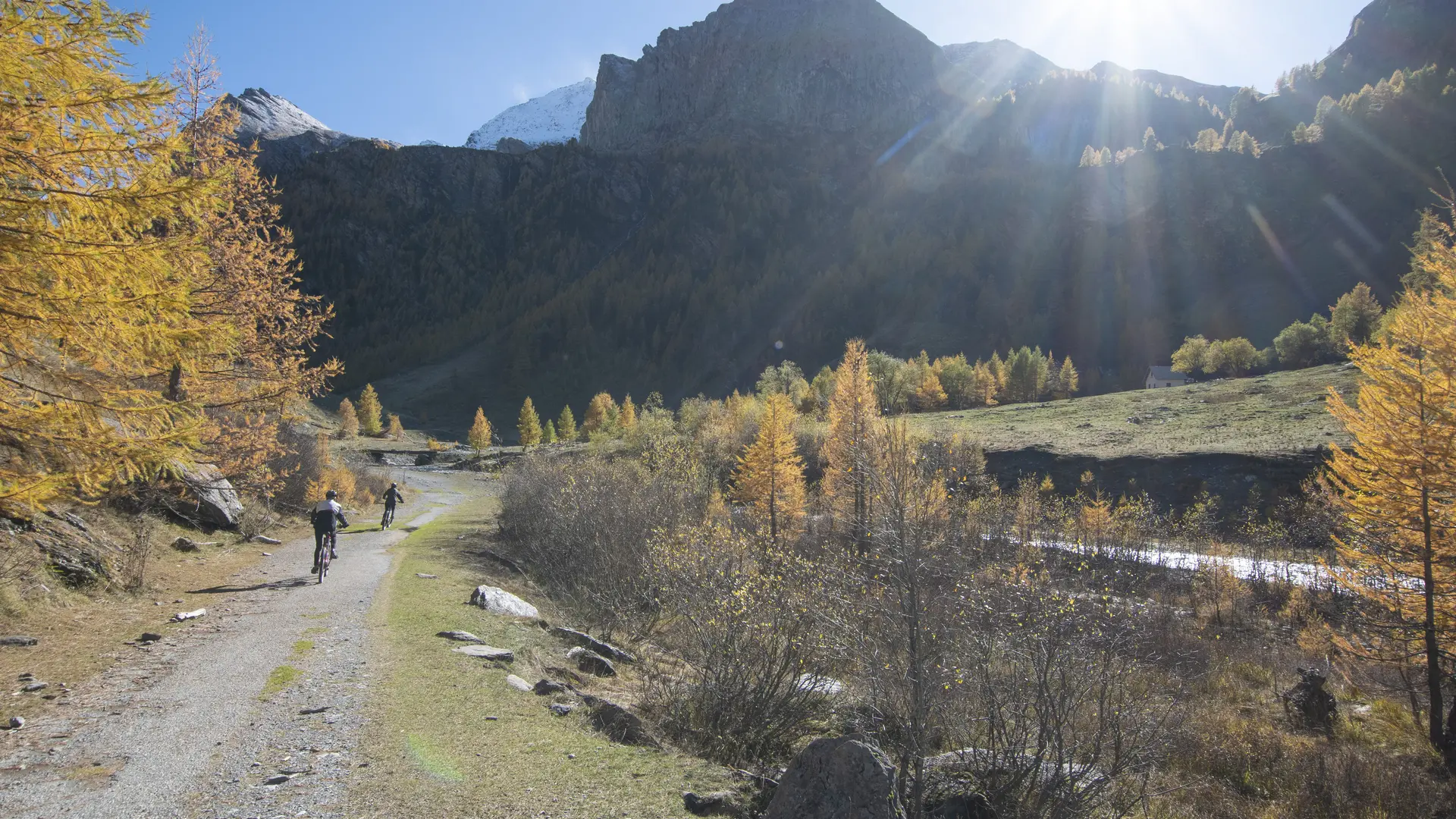
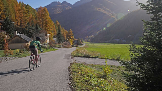
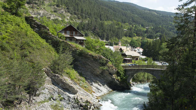
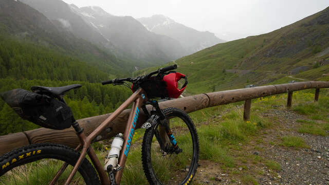
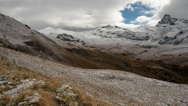
En route to the bottom of the Haut-Guil valley, bordered by the formidable Mont Viso. The Ristolas-Mont Viso nature reserve preserves this high mountain landscape like a jewel box.
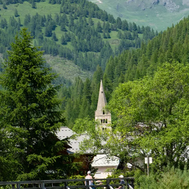
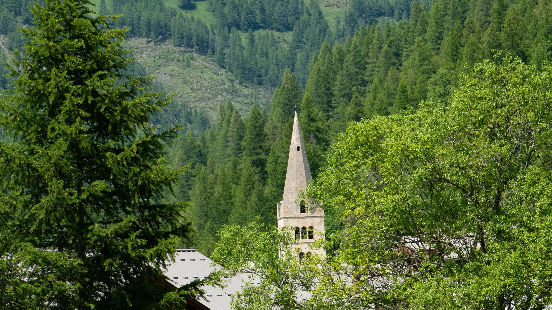
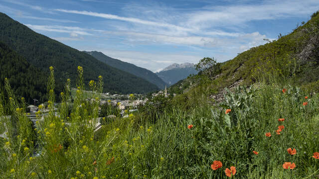
The sun is out in Abriès! I The atmosphere is relaxed. Shopkeepers are out of their storefronts, chatting with hikers. The mood is one of contemplation and the desire to cycle through the Haut-Guil valley, undoubtedly one of the most beautiful in the Queyras.
1 - Abriès
From Abriès, I follow a left bank path up the Guil towards the martyred village of Ristolas. In June 1940, when Italy declared war on France, the cannons thundered.
2 - La Monta
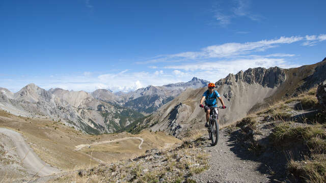
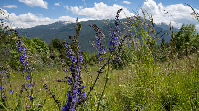
The shells also fell on "La Monta" (1661 m), which disappeared under the ashes. I'm in the Queyras' highest valley, wide and ringed by formidable peaks.
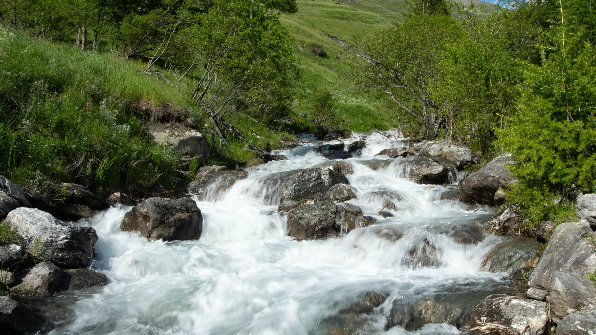
3 - La Roche Ecroulée
Shortly after the "Roche Ecroulée" (1780 m), I enter a natural sanctuary, the Ristolas-Mon Viso nature reserve.
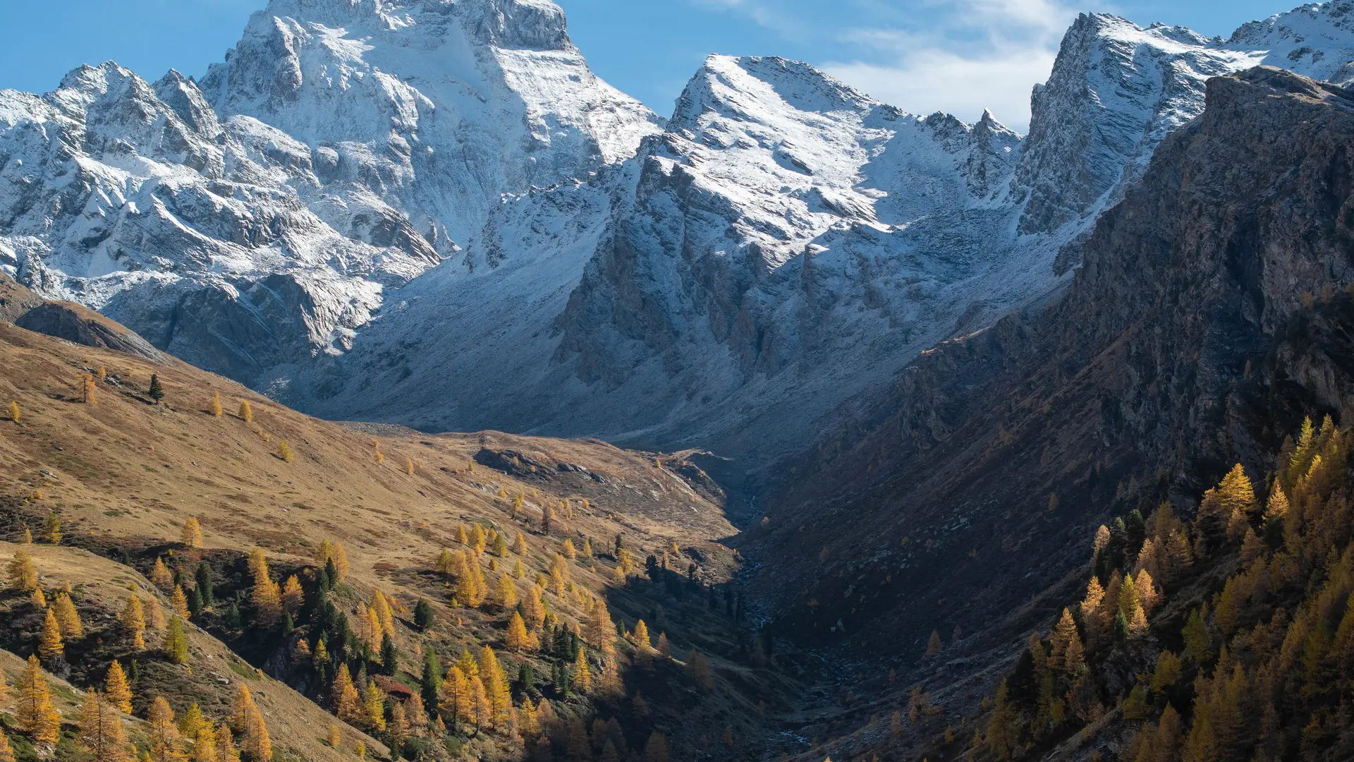
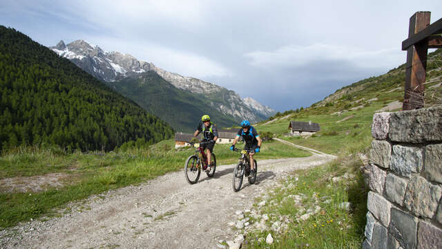
4 - Grand Belvédère du Mont Viso (turnaround point)
At the end of the valley, I have to climb a final rocky escarpment to finally discover the "Mont Viso Belvedere" (2133 m). Beyond the mountain pasture, there's no room for bicycles...
5 - Abriès
Back to Abriès by the same route; but this is not the end of the adventure.
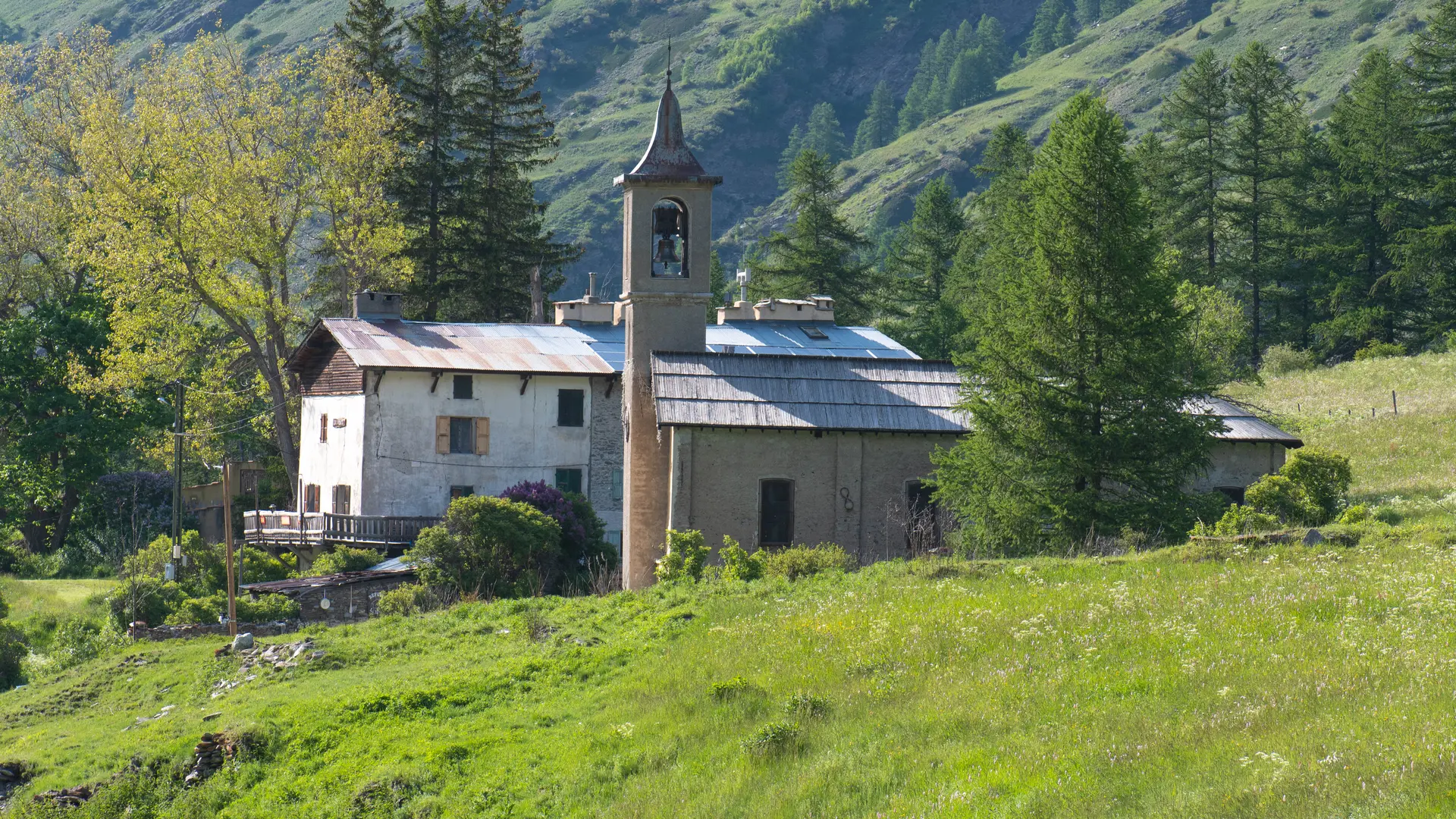
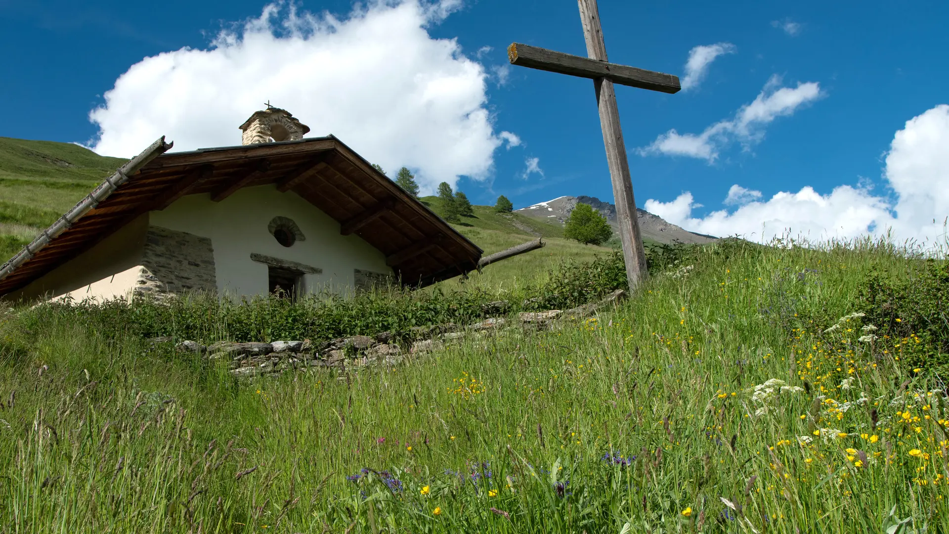
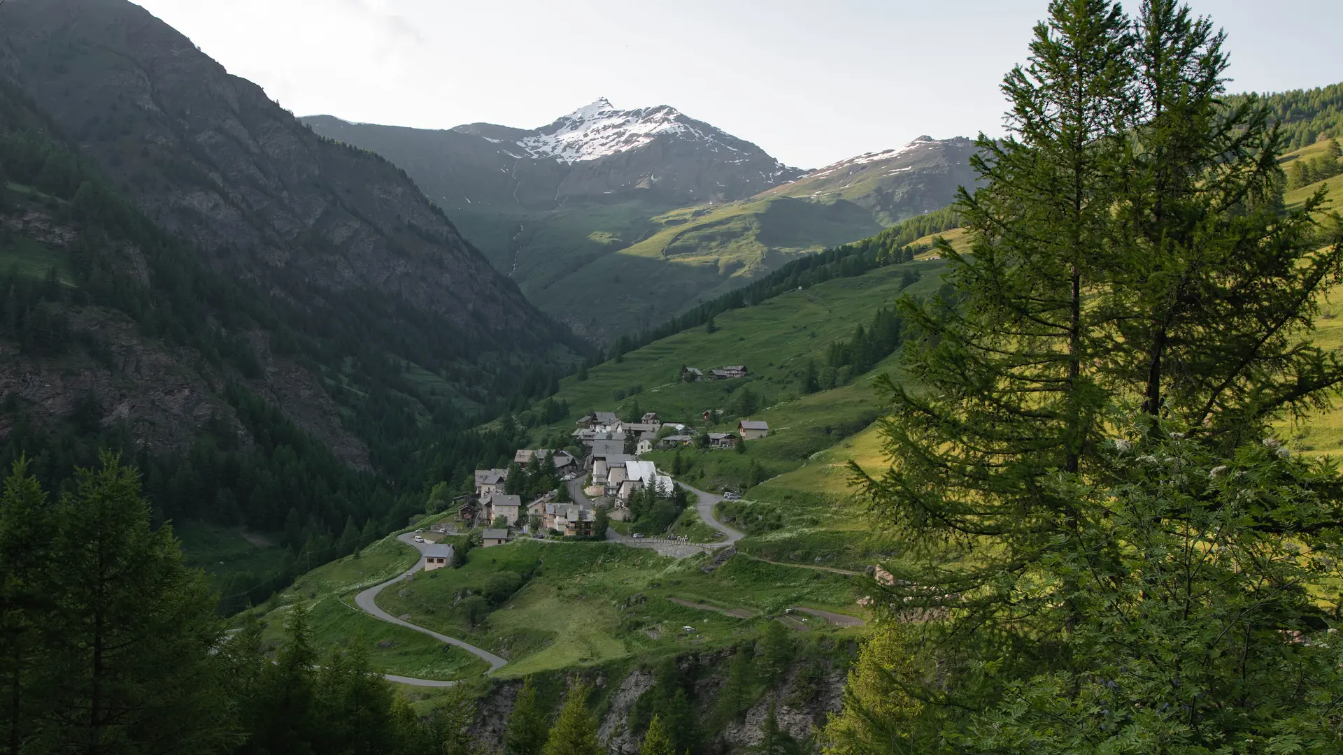
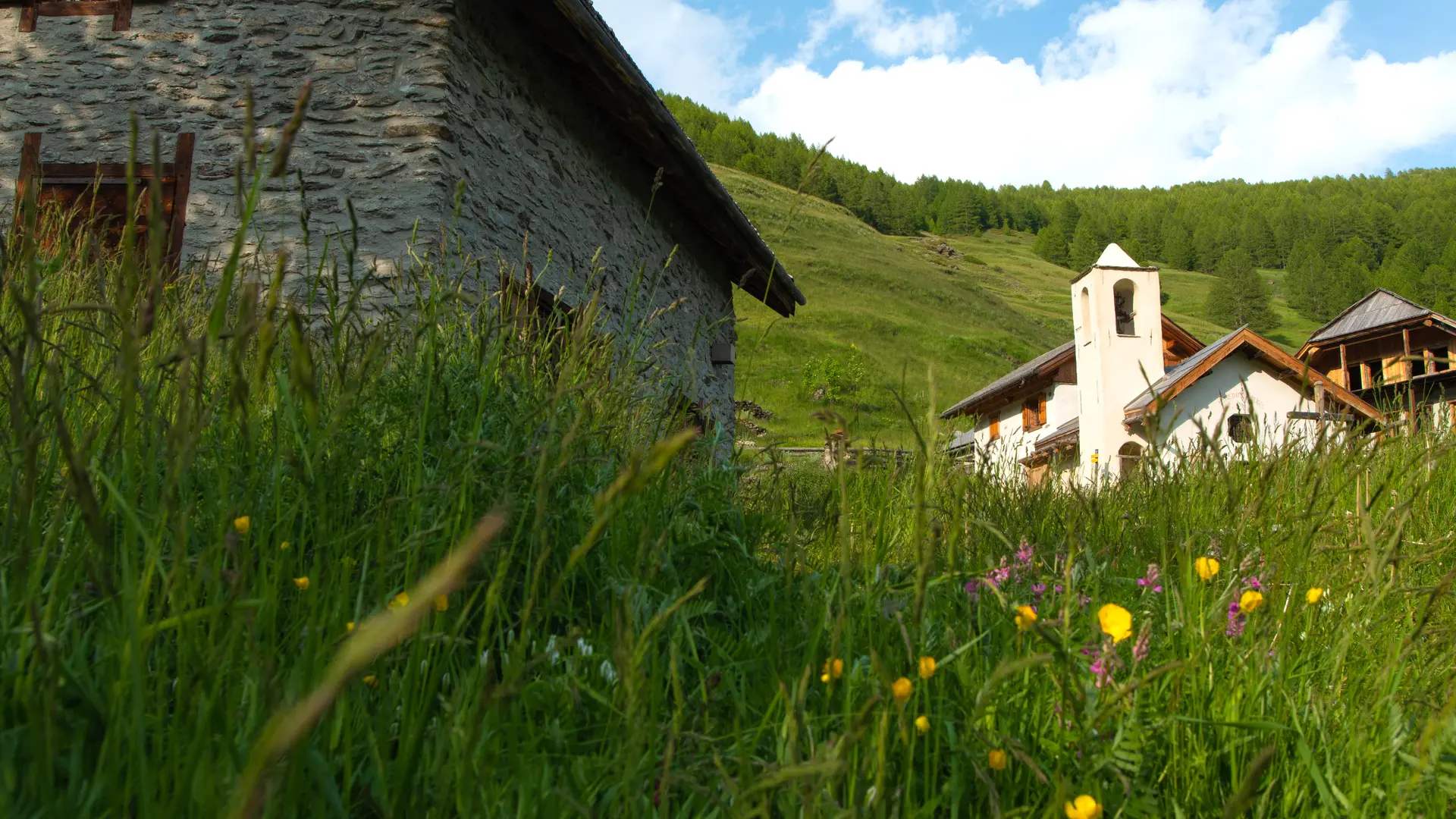
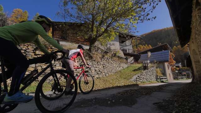
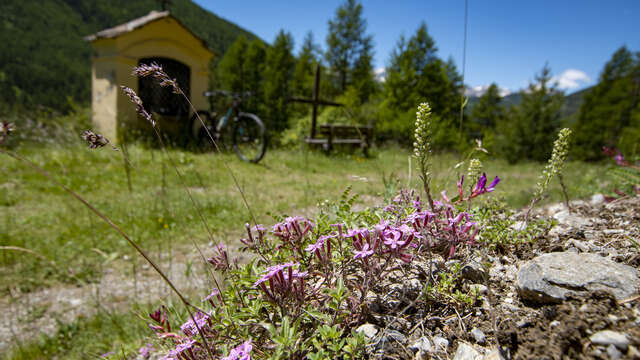
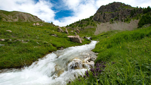
6 - Valpréveyre
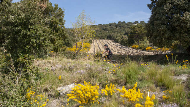
Heading up the torrent of Le Bouchet, I take the road to Le Roux: the desire was too strong to drive there in these landscapes at the end of the world, to Valpréveyre. At the "chapelle Saint-Barthélémy" (1770 m), a wide track leads me into the Brune woods, which are a tough climb. Approaching the "Réserve d'Eau Collinaire" (2010 m), the path forks to the left and joins the arrival point of the new ski lift. The slope becomes gentler and descends towards "Valpréveyre" (1840 m). The hamlet, built of stone, represents the difficulties of life in these remote valley bottoms.
7 - Le Roux
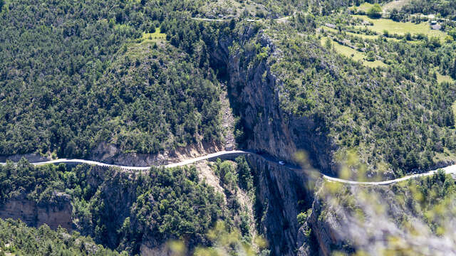
On the way back, via a small road, I reach "Le Roux" (1700 m), a hamlet that also experienced the Italian occupation and then the Nazi onslaught in 1945. Many of the inhabitants deserted these hamlets, which have marked out my journey. As I calmly descend the road to Abriès, I think of those families who had to leave their ancestral homeland to seek a better life elsewhere. Nowadays, immigrants try their luck by crossing the mountains illegally. History repeats itself, tirelessly...
Smooth path along the Guil, then a little stonier on the climb to La Gardiole. Little-used road from Roche Ecroulée to Abriès. Muddy forest path (above Roux due to roadworks) from the chairlift. The path down to Valpréveyre is stable and smooth. Nice little road to Le Roux and Abriès.