- Voir les favoris
See photos (4)
Entre Val-des-Prés et Plampinet
Sport, Pedestrian sports, Hiking itinerary
in Val-des-Prés
13.7
km
3h 30min
Easy
-
A very pleasant family walk to discover the valley between fields and forests along the river.
-
On leaving Val des Prés, park at the Draye bridge parking lot.
Take the carriage road to the left just before the bridge, passing the last houses in Val des Prés. The road then becomes a pleasant track through fields and forests along the Clarée to the hamlet of Plampinet.
Ignore the first junction (the left-hand track rises towards a farm), and continue straight ahead on the asphalt road to a second intersection: at this junction, ignore the left-hand track rising towards the chalets...On leaving Val des Prés, park at the Draye bridge parking lot.
Take the carriage road to the left just before the bridge, passing the last houses in Val des Prés. The road then becomes a pleasant track through fields and forests along the Clarée to the hamlet of Plampinet.
Ignore the first junction (the left-hand track rises towards a farm), and continue straight ahead on the asphalt road to a second intersection: at this junction, ignore the left-hand track rising towards the chalets and Col du Granon, and continue straight ahead ("grotte des 50 ânes" sign): the asphalt then gives way to a stony track descending through meadows on the edge of the forest: this track continues along the river to the hamlet of Plampinet.
Once past the meadows, the track enters the larch forest and crosses the Granon torrent, then continues along the Clarée to reach a wide footbridge: continue along the track through the woods to reach a small clearing.
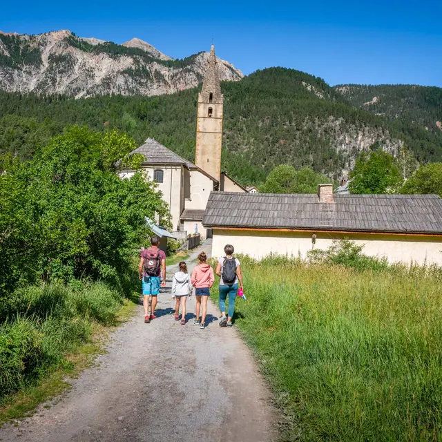
At the end of the path, you come to the edge of the departmental road at the entrance to Plampinet. You can continue your walk through the village.
Return by the same route.
- Departure
- Val-des-Prés
-
-
Difference in height
- 170.909 m
-
-
-
Environment
-
-
-
Documentation
- GPX / KML files allow you to export the trail of your hike to your GPS (or other navigation tool)
-
-
-
Accepted customers
-
- See all reviews
- 171 meters of difference in height
-
- Maximum altitude : 1498 m
- Minimum altitude : 1390 m
- Total positive elevation : 171 m
- Total negative elevation : -171 m
- Max positive elevation : 26 m
- Min positive elevation : -39 m
Services
-
-
Services
-
