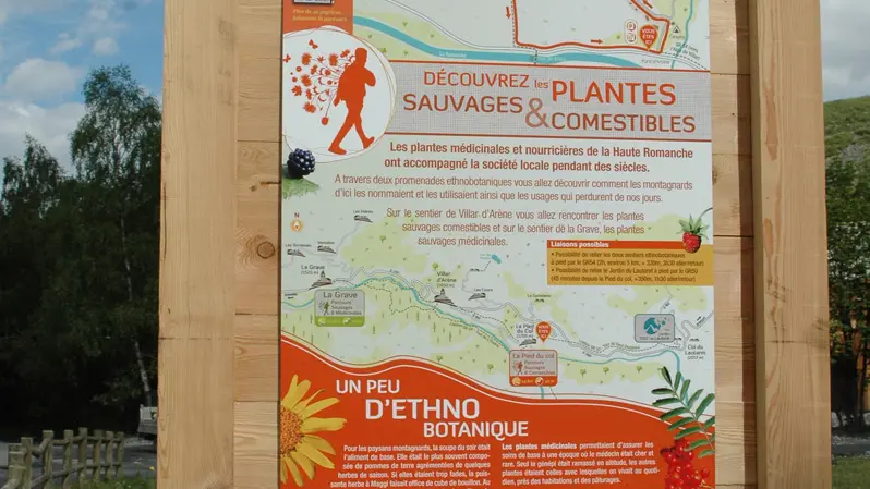
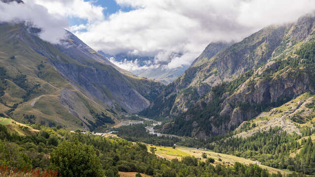
Wild plants offer many possibilities for those who have the patience to get to know them. The ethnobotanical trail of medicinal plants will introduce you to plants used in the past and those which can still be used.
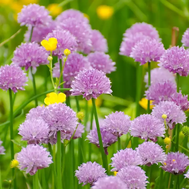
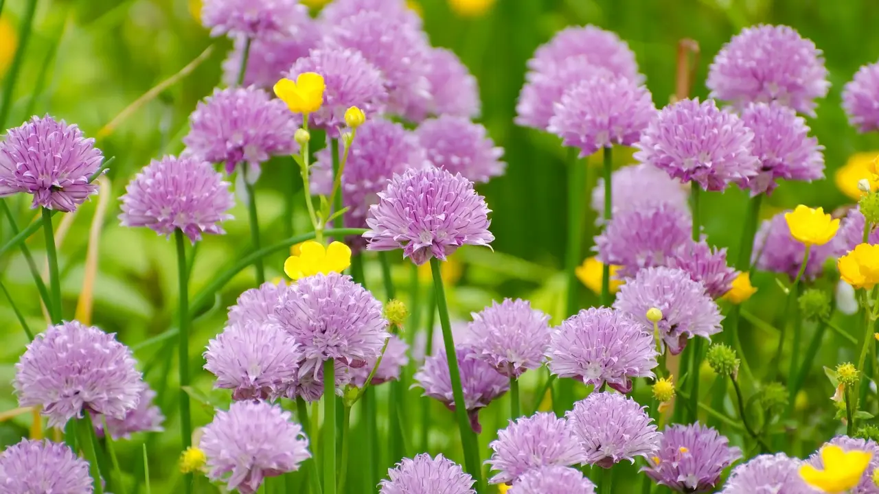
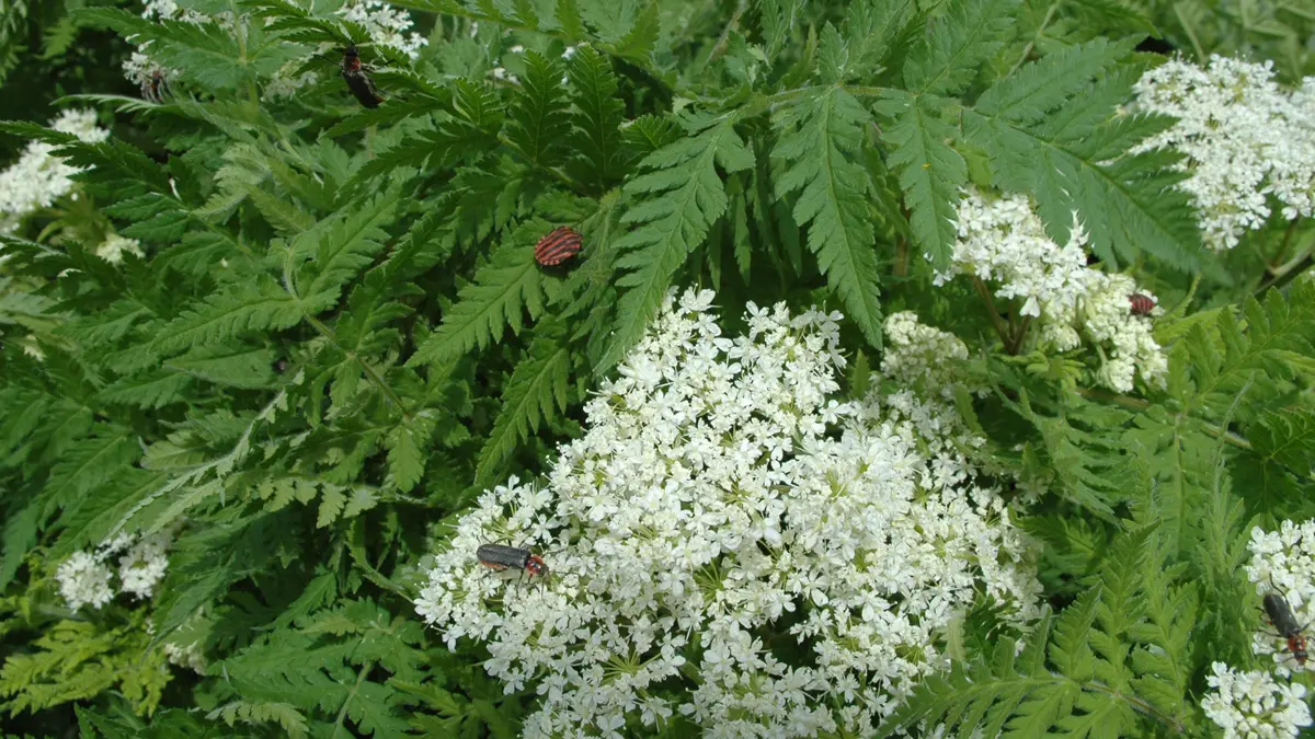
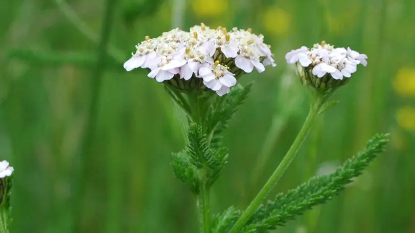
Sometimes you don’t have to go far to find what you need. A corner full of weeds can be as good as a pantry. Some plants we pull up are more nutritious and savoury than those we grow in our vegetable gardens. For instance, nettles and Good-King-Henry contain far more minerals than spinach.
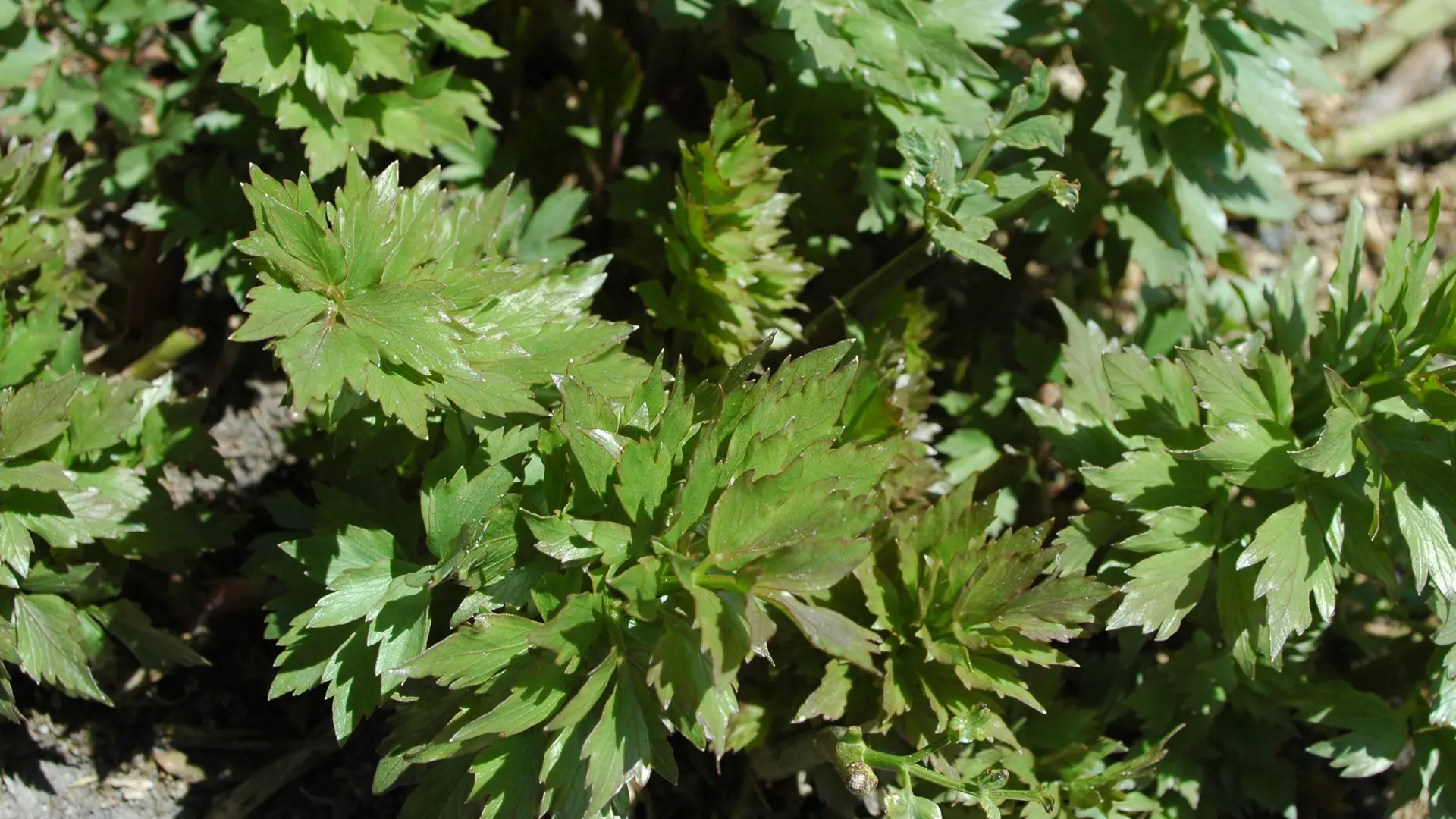
In the old days, people picked because they had to. The poorest had the broadest repertoire. Today some great cooks particularly favour a little plant that was called “manure herb” when just a few years ago those who ate it were ashamed to admit it. Soup was the basis of the mountain farmers’ diet. Mostly it was made with potatoes and a few seasonal herbs. If it was too bland, a couple of leaves of the powerful “Maggi-herb”, which got its name from the stock cubes, would do the trick. In spring, baby leaves of various kinds awakened the taste buds.
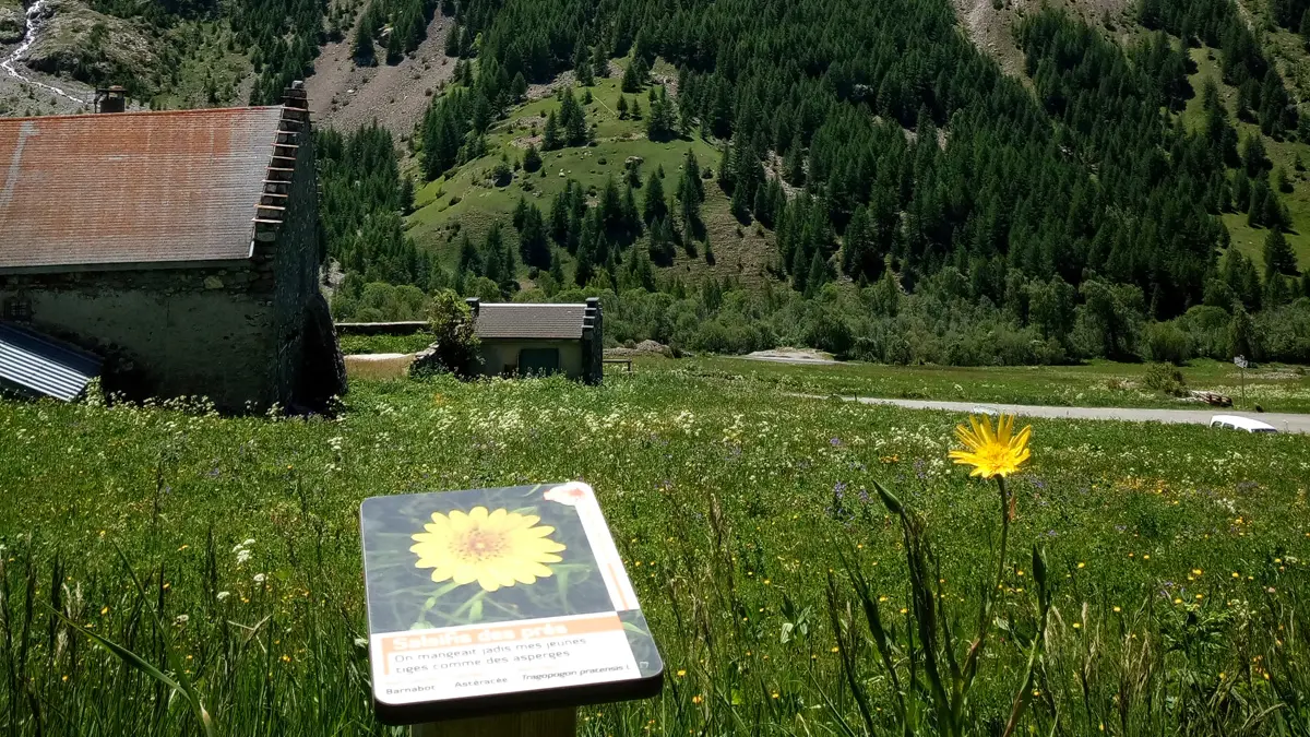
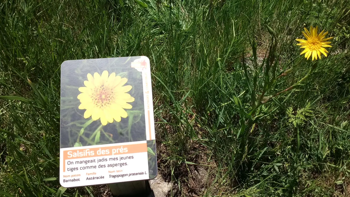
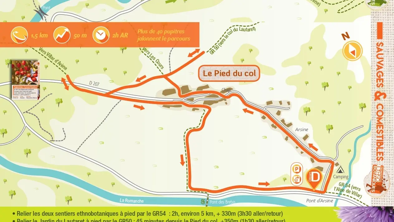
The second ethnobotanical trail, in Arsine, focuses on edible plants.
You can connect the two ethnobotanical trails on foot by the GR54.