
- Voir les favoris
See photos (6)
Evariste Chancel refuge and Puy Vachier lake from 2400m
Sport, Pedestrian sports, Hiking itinerary
in La Grave
4.8
km
3h
Easy
-
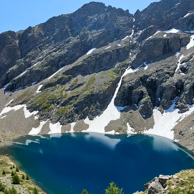
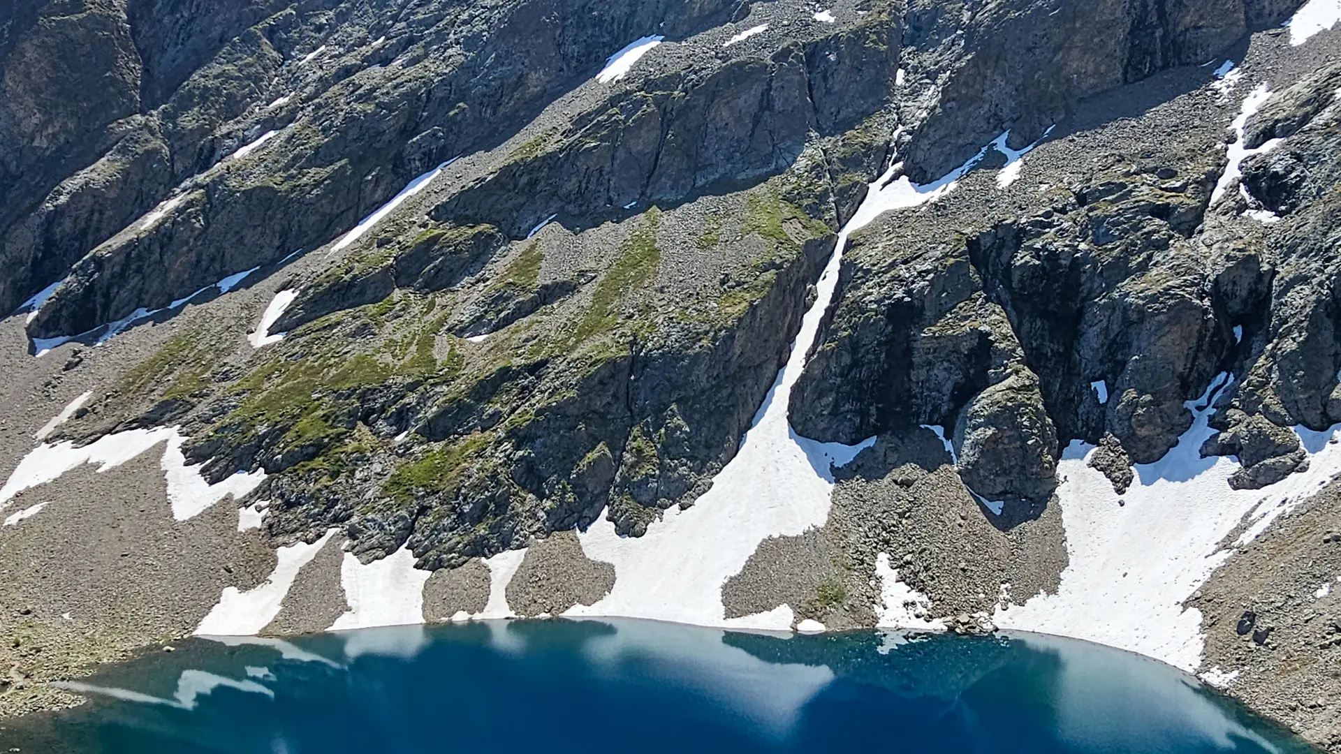
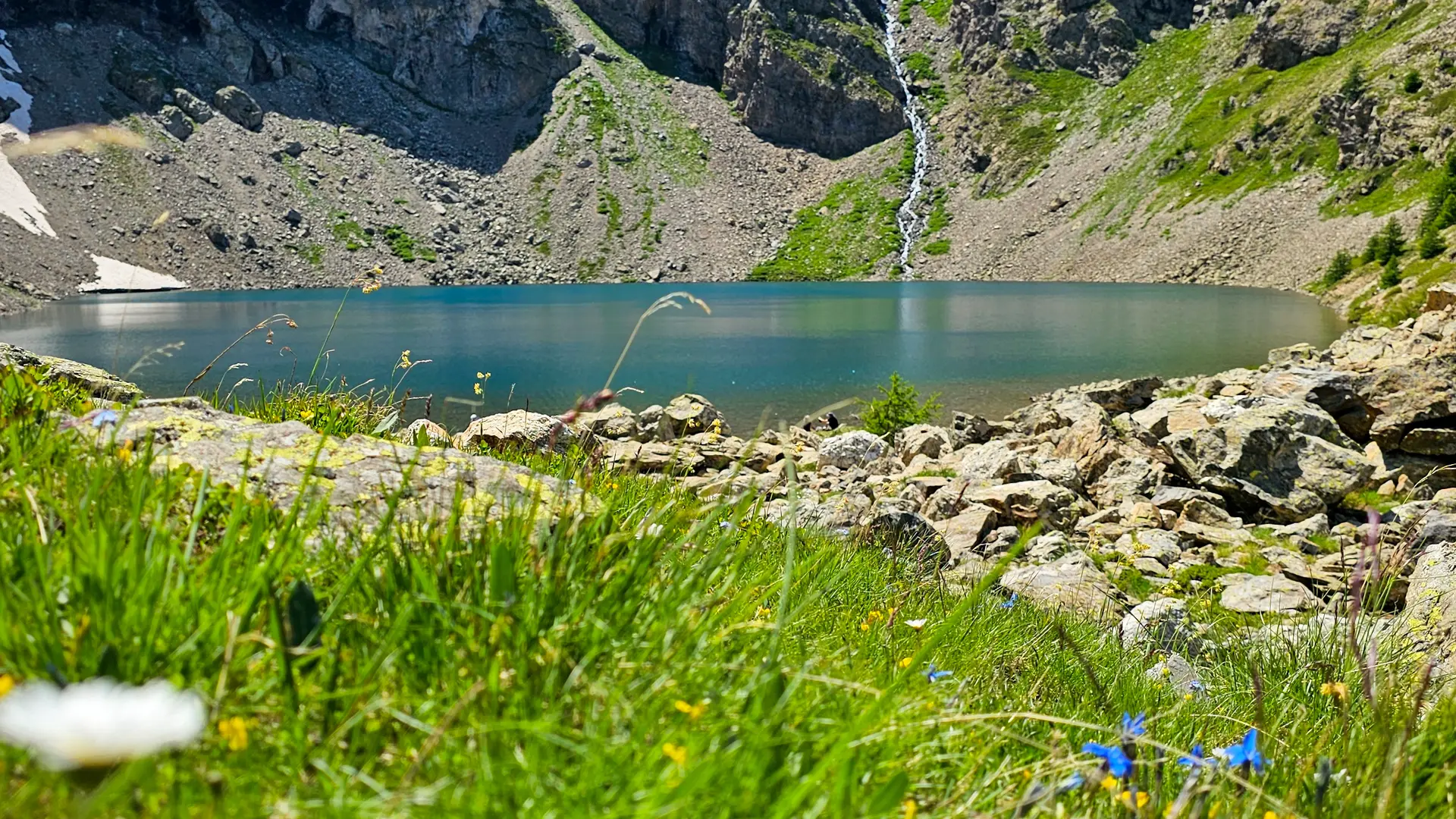
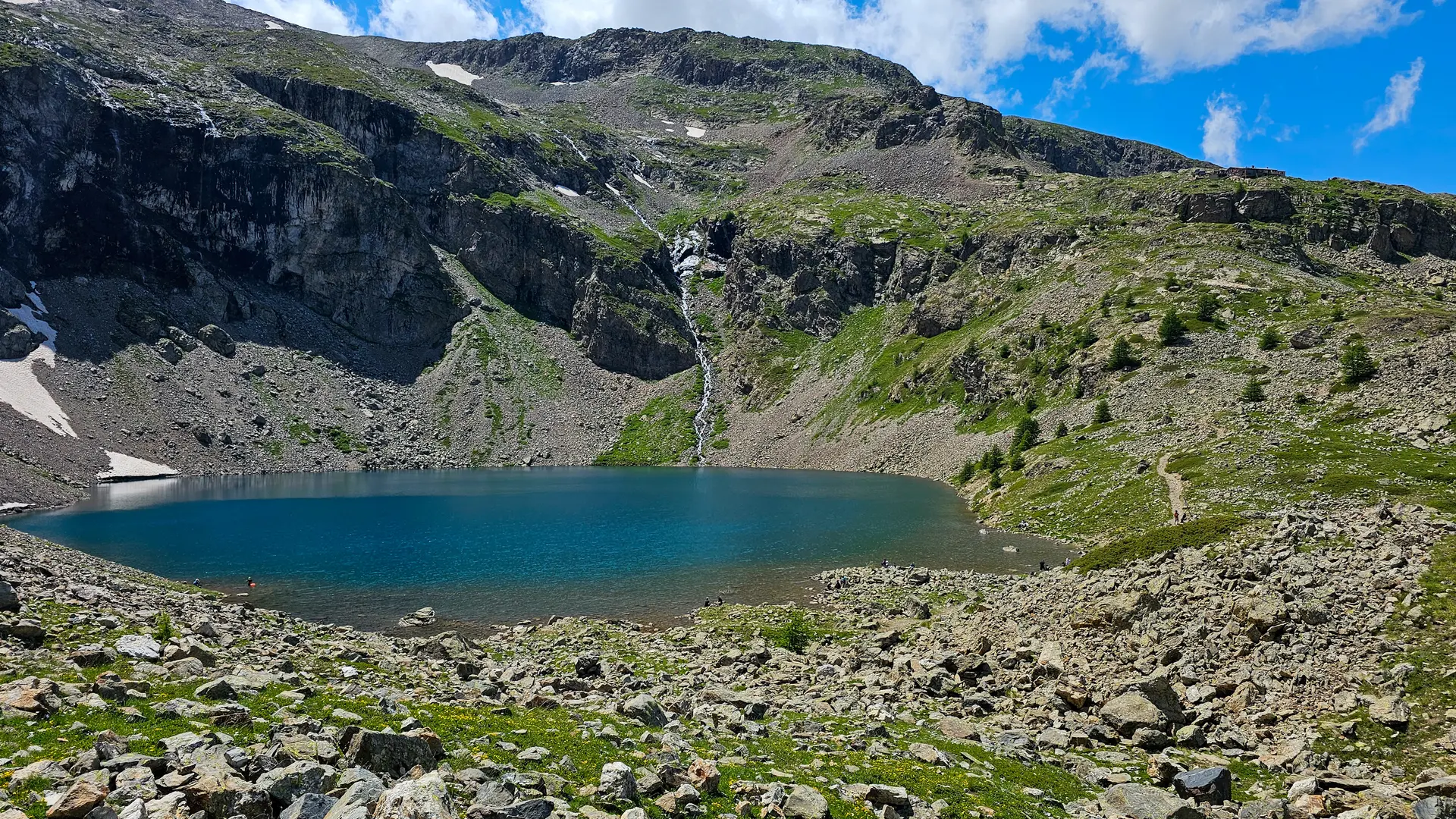
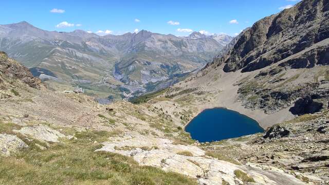
The traverse to the Refuge, via the Puy Vachier lake, offers a beautiful panorama of the alpine pastures and peaks of the valley's southern slopes: the Emparis plateau, the Goléon and Mas de la Grave peaks, the Aiguilles d'Arves and the Trois Evêchés.
-
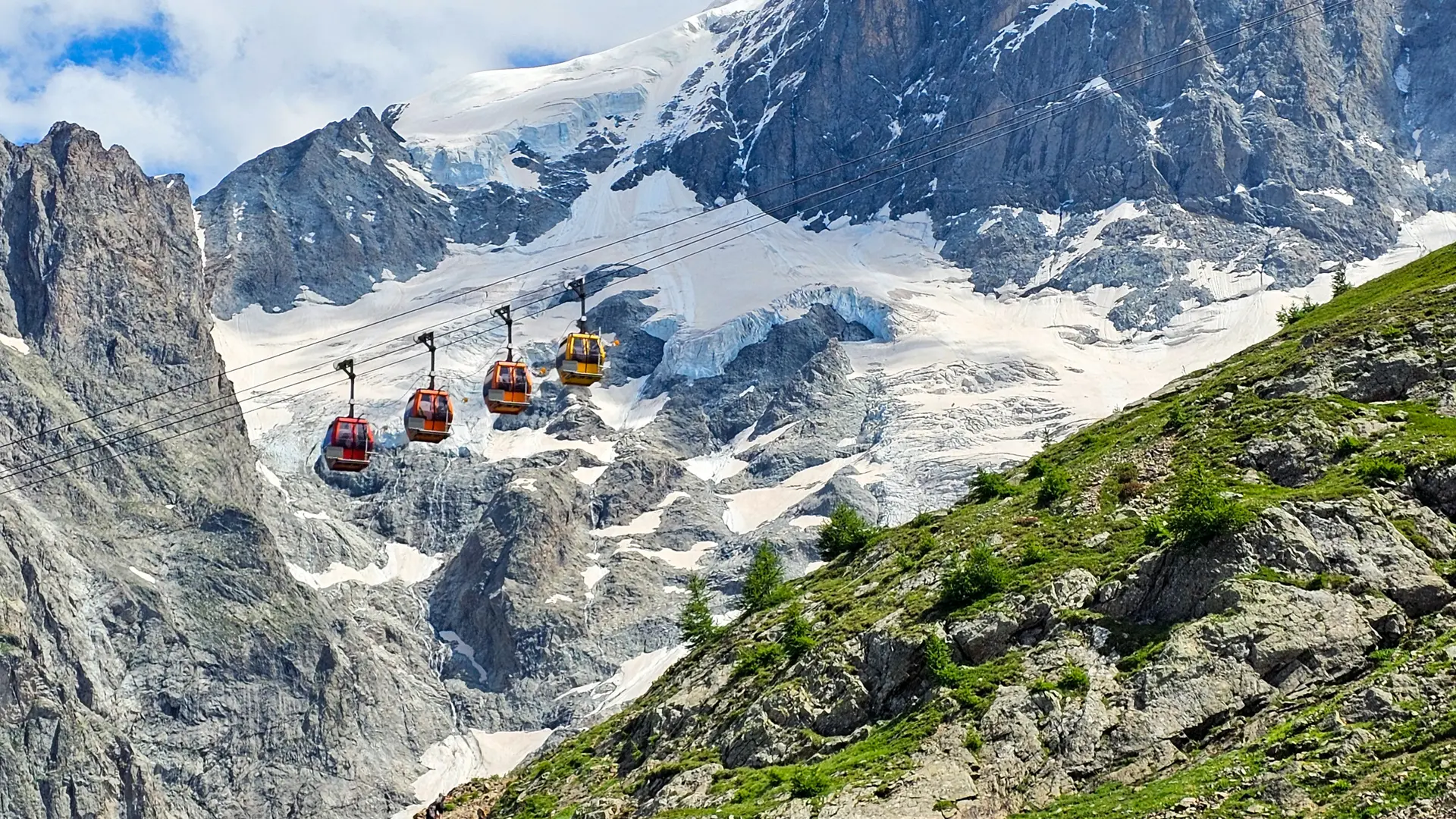
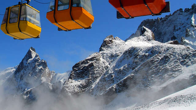
From the intermediate station of the Glaciers de la Meije cable cars,
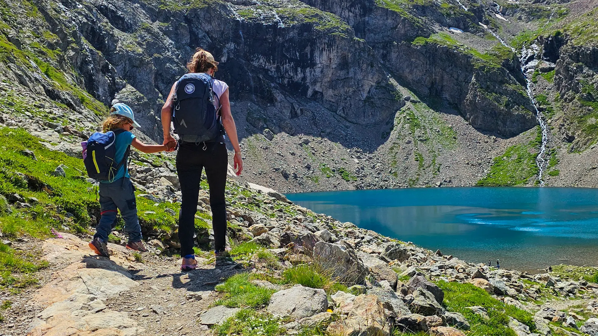
at 2400m, follow the signs to Lac de Puy Vachier and Refuge Chancel.
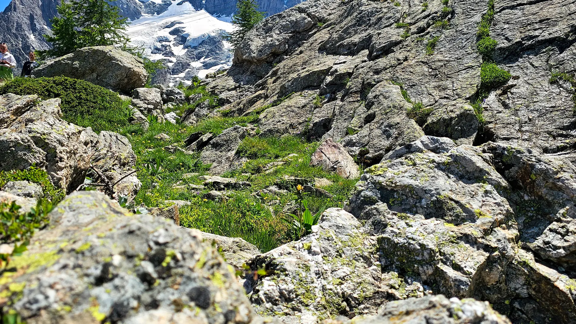
At the start, the path descends for around 60 metres. At the junction with the path leading down to La Grave, take the left-hand path that crosses the mountainside to the lake.
Then follow the path to the Chancel refuge, which takes about 30 minutes.
Return by the same route.
- Departure
- La Grave
-
-
Difference in height
- 305.958 m
-
-
-
Plain text period
- From 01/05 to 31/10.
-
-
-
Environment
-
-
-
Spoken languages
-
-
-
Documentation
- GPX / KML files allow you to export the trail of your hike to your GPS (or other navigation tool)
-
-
-
Accepted customers
-
- See all reviews
- 306 meters of difference in height
-
- Maximum altitude : 2460 m
- Minimum altitude : 2309 m
- Total positive elevation : 306 m
- Total negative elevation : -306 m
- Max positive elevation : 66 m
- Min positive elevation : -107 m
Services
-
-
Accessibility
-
-
-
Services
-


