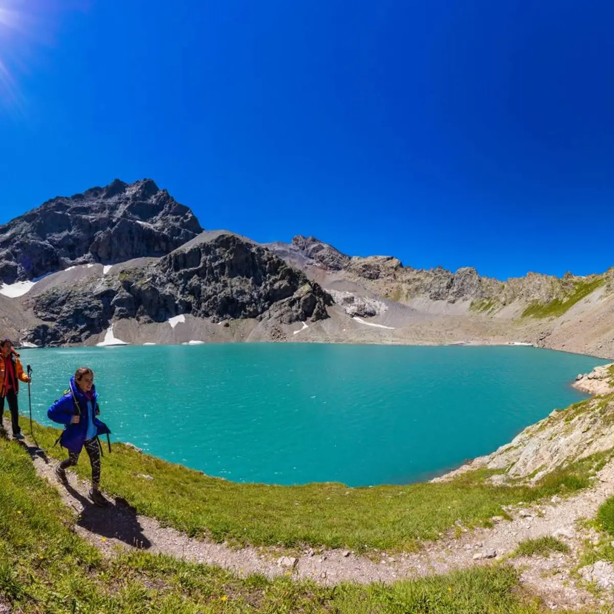
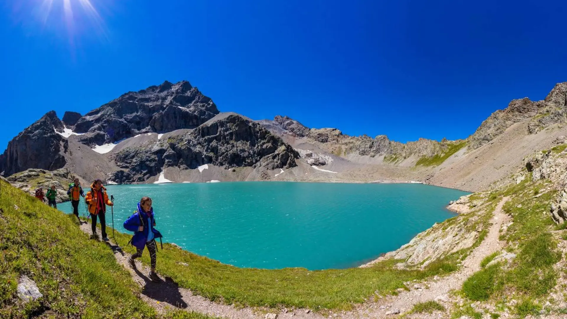
See photos (4)

Eychauda Lake

Sport, Pedestrian sports, Hiking itinerary in Vallouise-Pelvoux
16.1 km
  • A long valley where the sheep spread out, an ascent zig-zagging across a prairie then, hidden behind a cross cliff, the reward: the lake with milky waters. A beautiful journey!

  • From Chambran car park, follow the track which leads to the bottom of the valley. Further along, it leaves on the right a track to the Eychauda mountain pass.

    After a big walkway over the torrent, follow the trail which passes not far from the pastoral cabin. The track gently rises in the bottom of the top the foot of the rocky ridge. It bends upwards, first over a large scree slope then flowered grass land. A small lower shelf and there is the lake, well hidden behind its cross cliff. It...
    From Chambran car park, follow the track which leads to the bottom of the valley. Further along, it leaves on the right a track to the Eychauda mountain pass.

    After a big walkway over the torrent, follow the trail which passes not far from the pastoral cabin. The track gently rises in the bottom of the top the foot of the rocky ridge. It bends upwards, first over a large scree slope then flowered grass land. A small lower shelf and there is the lake, well hidden behind its cross cliff. It nestles at the bottom of the glacial cirque surrounded by high ridges.
    Return using the same itinerary.

    Medium
  • Departure
    Vallouise-Pelvoux
  • Difference in height
    1612.86 m
  • Departure : Chambran Hamlet.
    Road access : At Vallouise, follow the direction of Pelvoux. At Sarret hamlet, turn right in the direction of Eychauda up to Chambran car park (signposts at this site). Road closed in Winter. .
    Parking recommended : Car Park Chambran hamlet .
    Public transport : Station SNCF at l'Argentière-la-Bessée (L'Argentière-les-Ecrins) then bus or taxi to Pelvoux. No shuttle service to Chambran. .
  • Documentation
    GPX / KML files allow you to export the trail of your hike to your GPS (or other navigation tool)
1613 meters of difference in height
  • Maximum altitude : 2524 m
  • Minimum altitude : 1720 m
  • Total positive elevation : 1613 m
  • Total negative elevation : -811 m
  • Max positive elevation : 763 m
  • Min positive elevation : -762 m