- Voir les favoris
See photos (3)
EYGUIERES - The Défends massif in Eyguières
Sport, Pedestrian sports, Hiking itinerary
in Eyguières
11.9
km
-
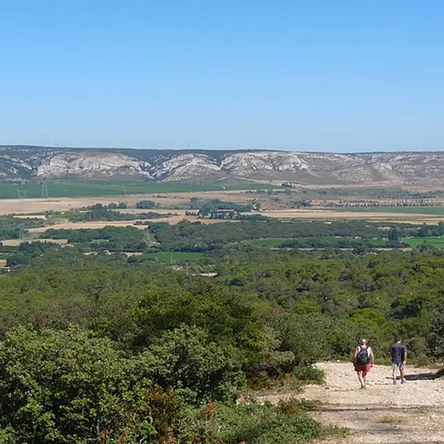
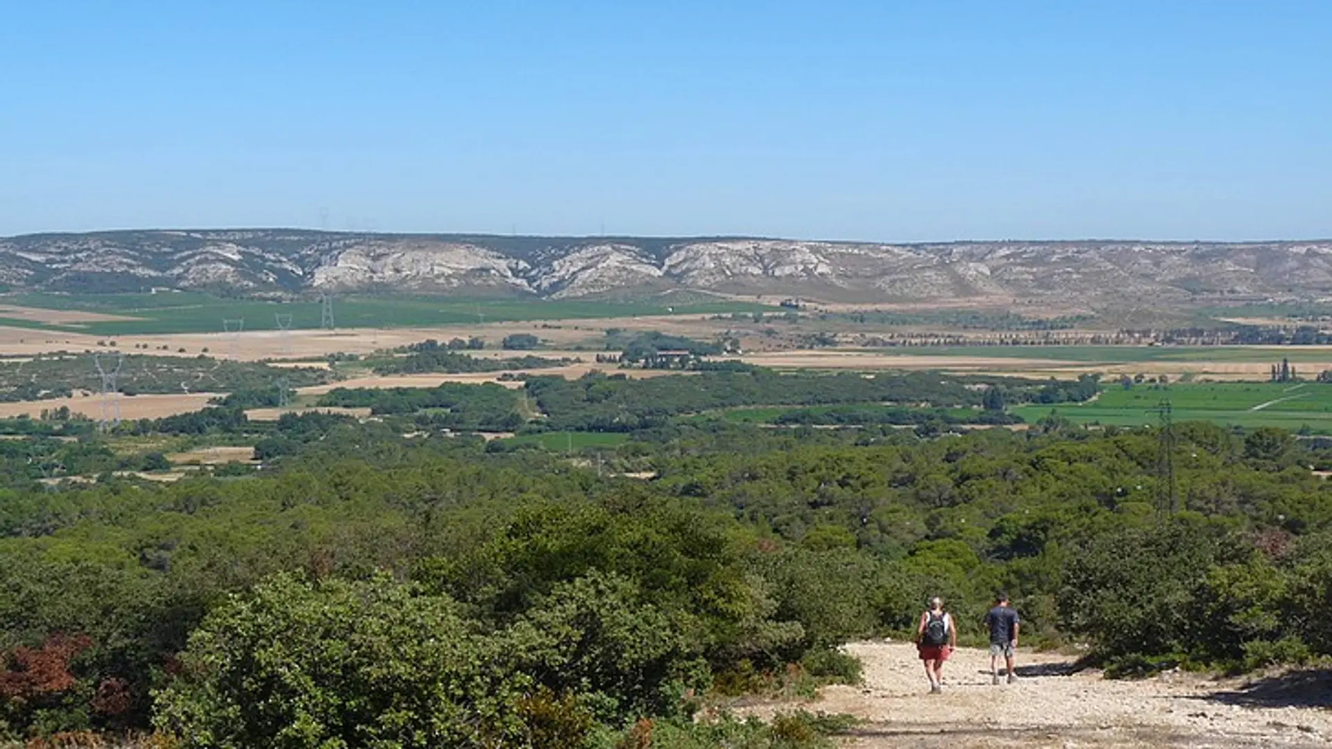
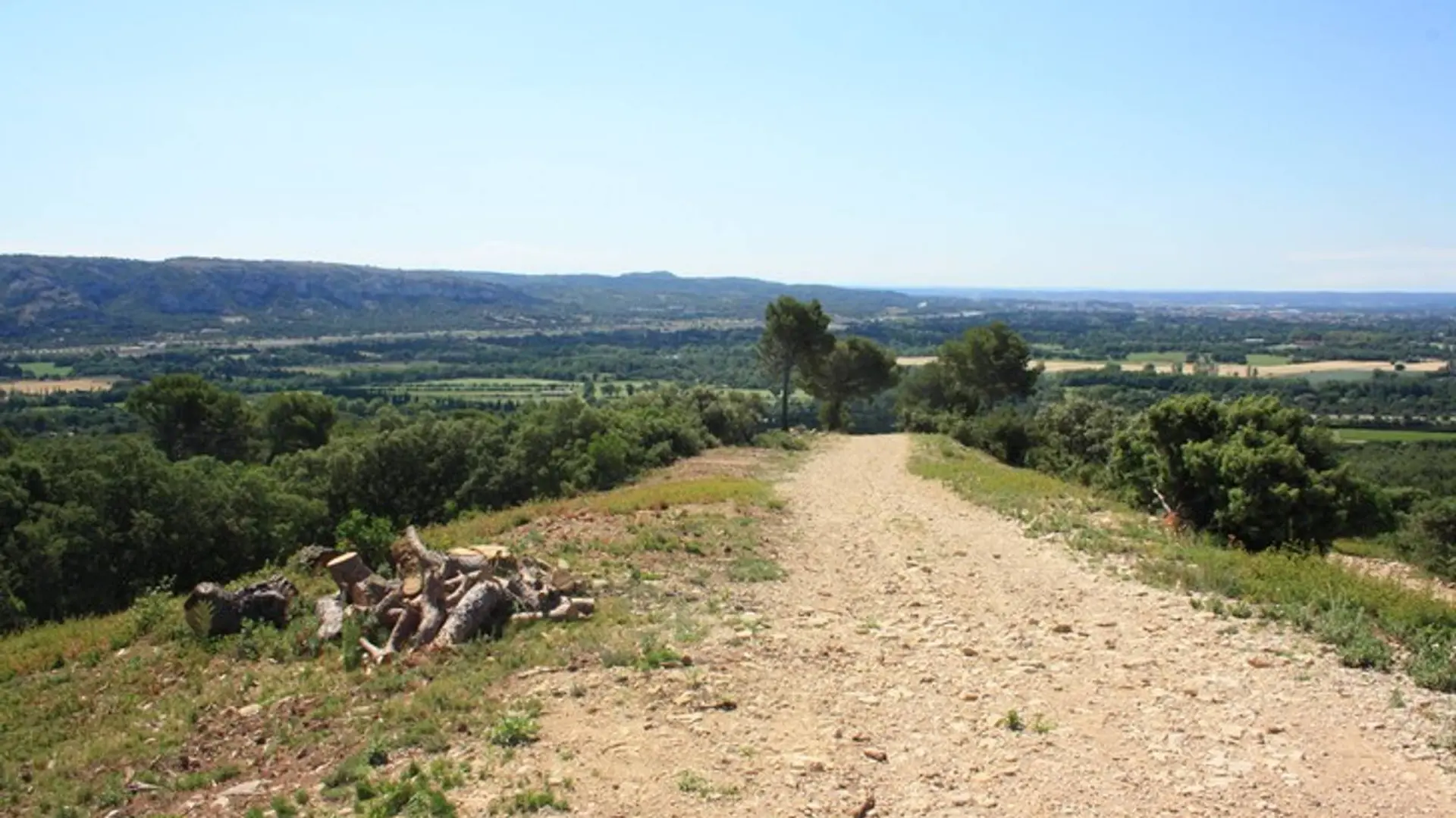
Between scrubland, olive groves and views, a nice walk at the intersection of massifs surrounded by birdsongs!
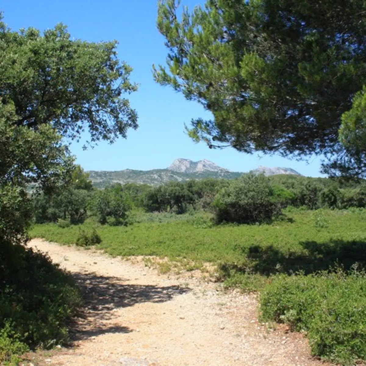
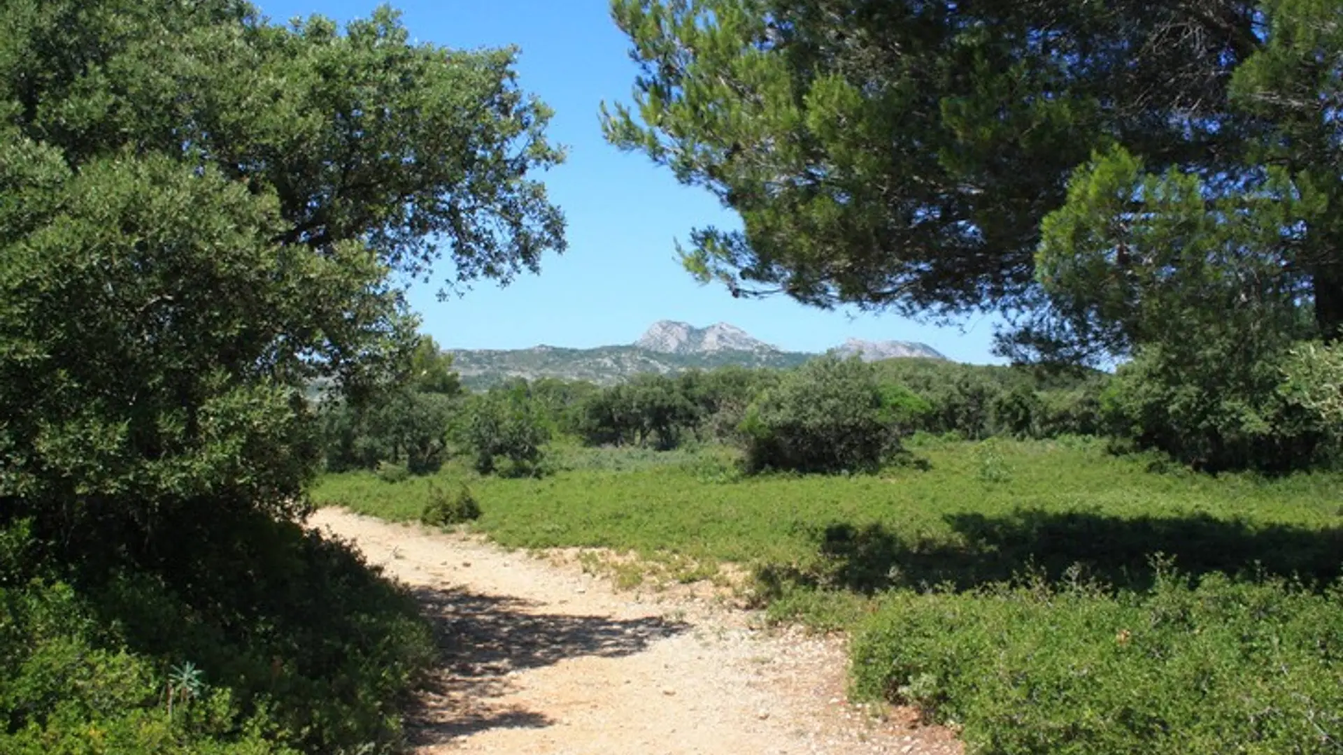
-
At the Gilouse fountain, cross the road and take the DFCI track that climbs opposite the fountain. Follow the red and white markings (GR®).
1 - At the junction, turn left onto the gravel path that descends below, then continue straight ahead at the next crossroads to stay on the GR®.
2 - At the crossroads of the DFCI AL 140 and AL 141 tracks, continue until you reach the departmental signpost. Follow the direction of “Lamanon par les crêtes du Défens.”
3 - At the intersection, follow the...At the Gilouse fountain, cross the road and take the DFCI track that climbs opposite the fountain. Follow the red and white markings (GR®).
1 - At the junction, turn left onto the gravel path that descends below, then continue straight ahead at the next crossroads to stay on the GR®.
2 - At the crossroads of the DFCI AL 140 and AL 141 tracks, continue until you reach the departmental signpost. Follow the direction of “Lamanon par les crêtes du Défens.”
3 - At the intersection, follow the GR® to the left, pass the first trail on the right, then turn right at the next intersection and begin the strong ascent.
4 - Shortly after the first pylon, leave the track on the right, following the GR® trail, before rejoining it a little further on and continuing to the right. Near the next pylon, leave the track and take a trail that follows the crest line to the right.
5 - At the junction of tracks AL 142 and AL 143, turn right and follow the path “Eyguières par le chemin du Défends.” Leave the track for a small gravel path marked in yellow that leads off to the right and starts the descent.
6 - Once at the bottom, turn left, go through the barrier and turn right. Continue on this track overlooking the olive groves, ignoring the paths on the right and left.
7 - At the fork that divides the path in two, take the right fork and continue straight ahead until you reach a concrete track. Then turn right up the hill for a few meters before turning left onto the small yellow-marked path that leads into the vegetation. Continue to the D17 without entering private property.
8 - At the paved road, turn right onto the Chemin de la Fontaine Gilouse to return to the parking lot.
Easy
- Departure
- Eyguières
-
-
Difference in height
- 387 m
-
-
-
Departure : Gilouse fountain, Eyguières.
Arrival : Gilouse fountain, Eyguières.
Road access : Cross the village of Eyguières towards Sénas. At the last roundabout before leaving the village, turn right on the way to the Gilouse Fountain and continue for 100m..
Parking recommended : Car park at the Gilouse fountain, Eyguières .
Public transport : Search for the public transport timetables on the website www.lepilote.com in the municipality of Eyguières. .
- See all reviews
- 387 meters of difference in height
-
- Maximum altitude : 303 m
- Minimum altitude : 105 m
- Total positive elevation : 387 m
- Total negative elevation : -387 m
- Max positive elevation : 187 m
- Min positive elevation : -147 m
