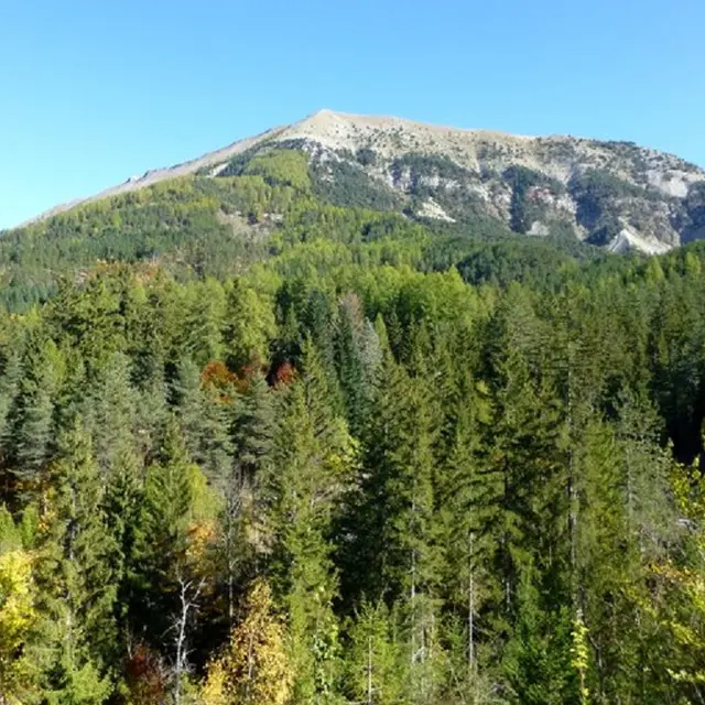
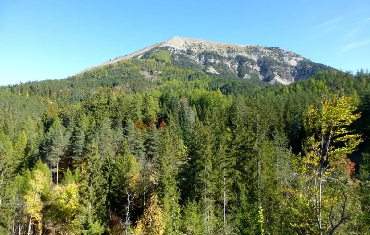
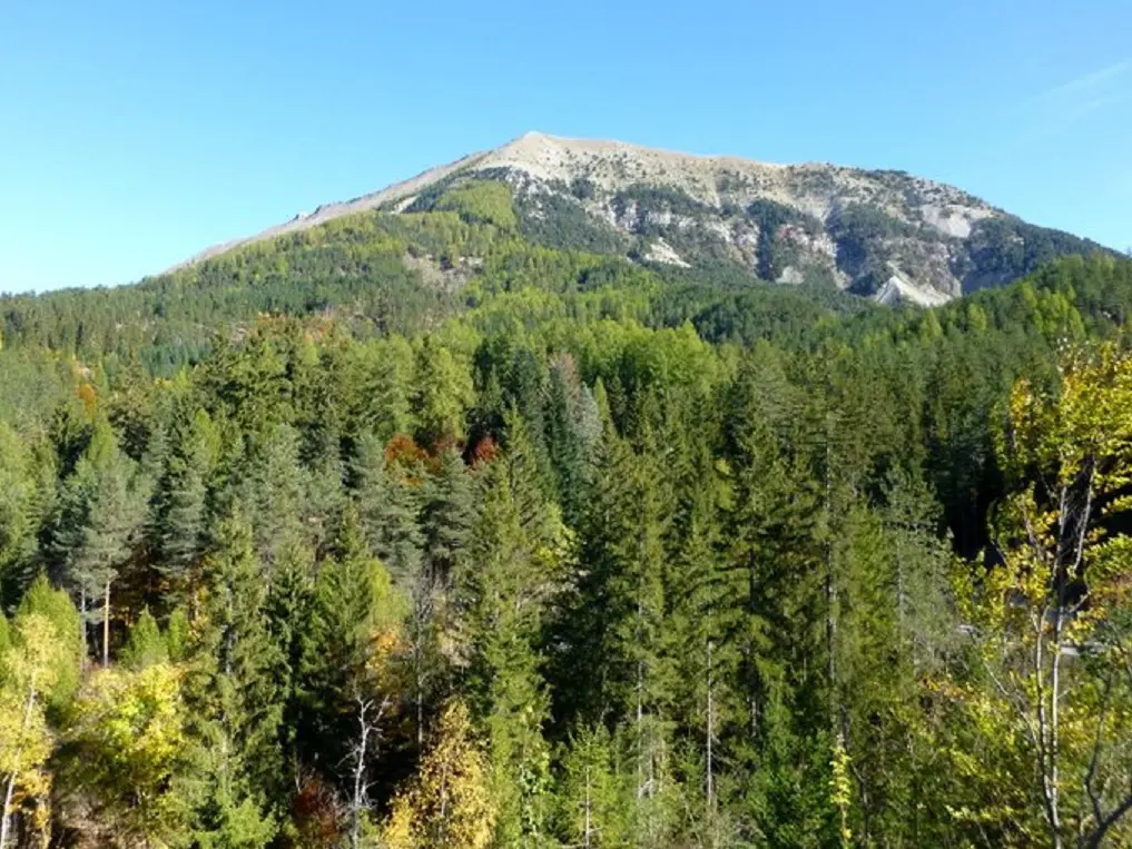
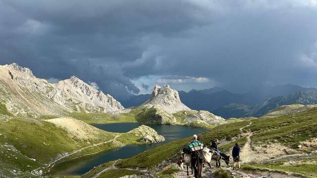
Discover the reforestation work carried out at the end of the 19th century on the initiative of forester Prosper Demontzey. From the pass, the path passes through a completely artificial forest that did not exist 200 years ago and was planted to combat erosion.
The return journey takes you through the hamlet of Haut Vernet and the Parc Demontzey.
Parc Demontzey (1,220 m) - From the car park, climb to the right along the gated forest track. At the crossroads, go straight ahead then take the path on the right at the first hairpin bend. It twists and turns through the forest until it reaches a wider path below a ridge. Follow it to the left, sometimes staying on the ridge, sometimes on the north-facing slope, crossing several ravines and coming to a crossroads. Climb to the right to reach a forest track. Take the path opposite and, after a number of hairpin bends, rejoin the track a little further up.
Follow it to the right. After a hairpin bend and a crossing, it ends in a loop. Continue straight ahead on the track, ignoring the side tracks. Just before its end, turn left down a path, cross two ravines and emerge above a clearing. Continue in the same direction, paying close attention to the markings, and rejoin the path a little further on. Descend to the left bank of the ravine and then into the ravine itself. The path then crosses to the right bank and turns into a track to reach the hamlet of Haut Vernet.
Le Haut Vernet (1,300 m) - Turn left and drive past the cemetery. Turn right and then straight ahead at the next two crossroads. The track descends through meadows, crosses the Auches ravine and continues through the forest.
At a wide bend to the right, go down a path to the left that joins the Demontzey park.