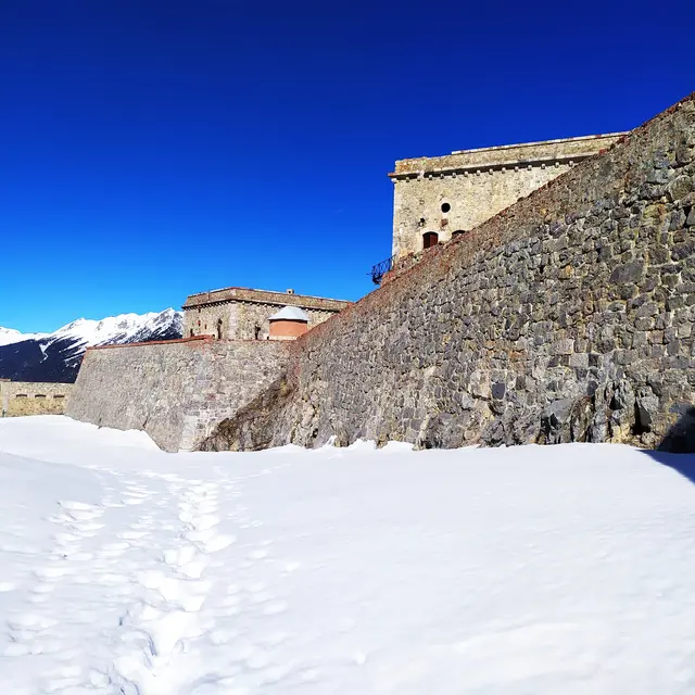
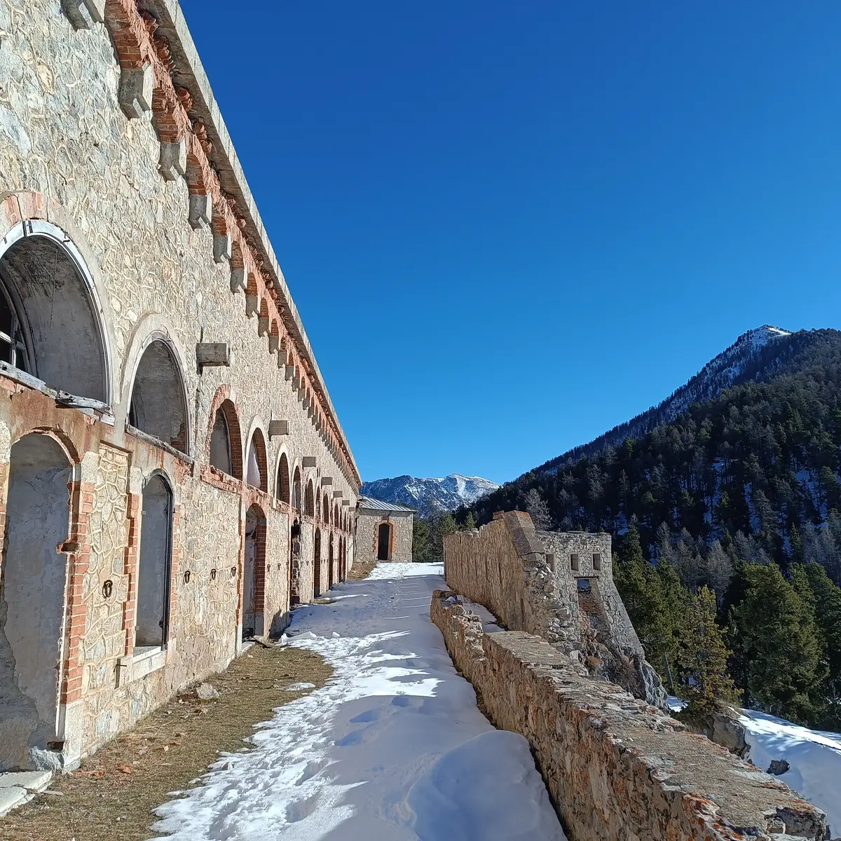
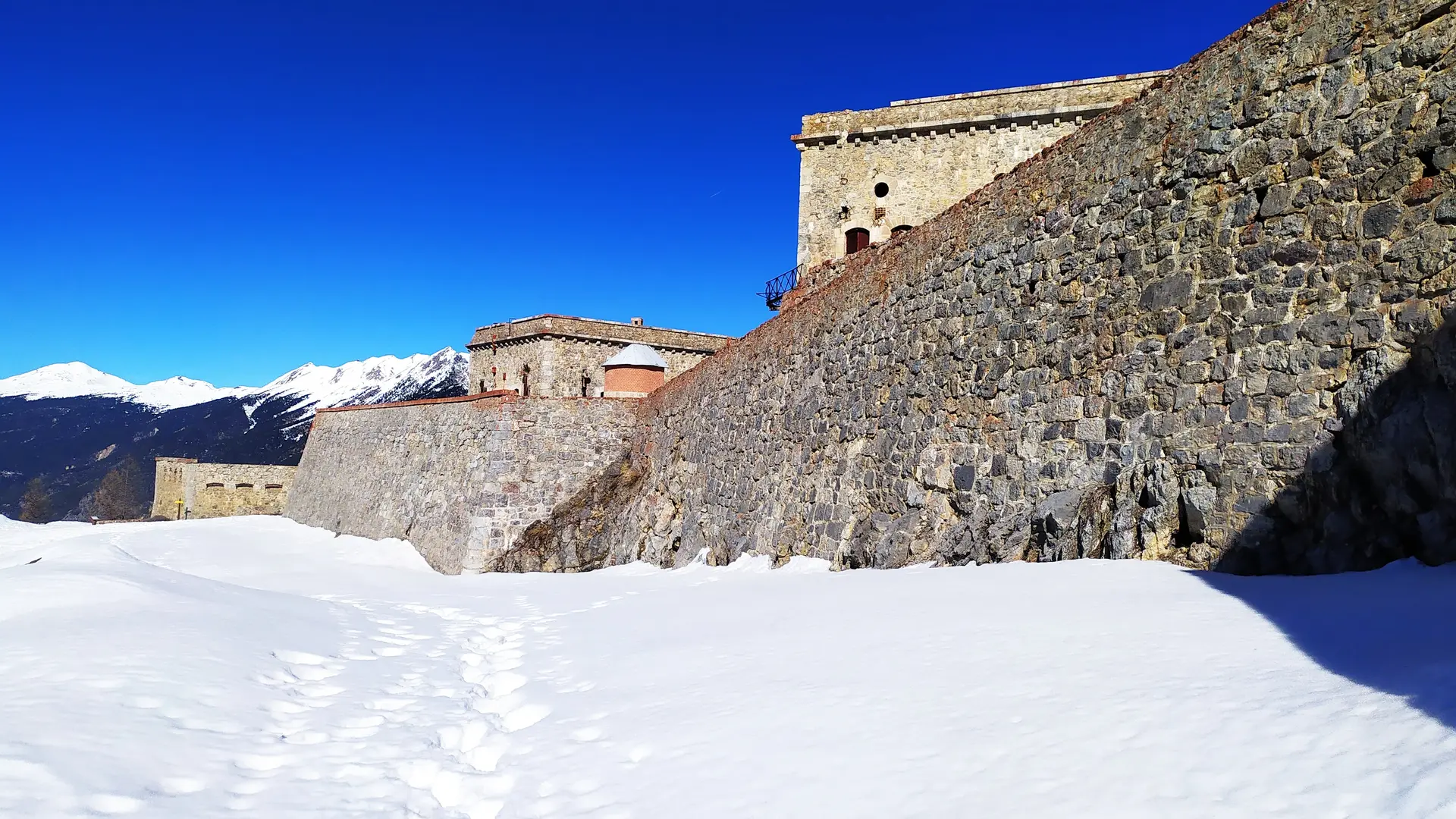
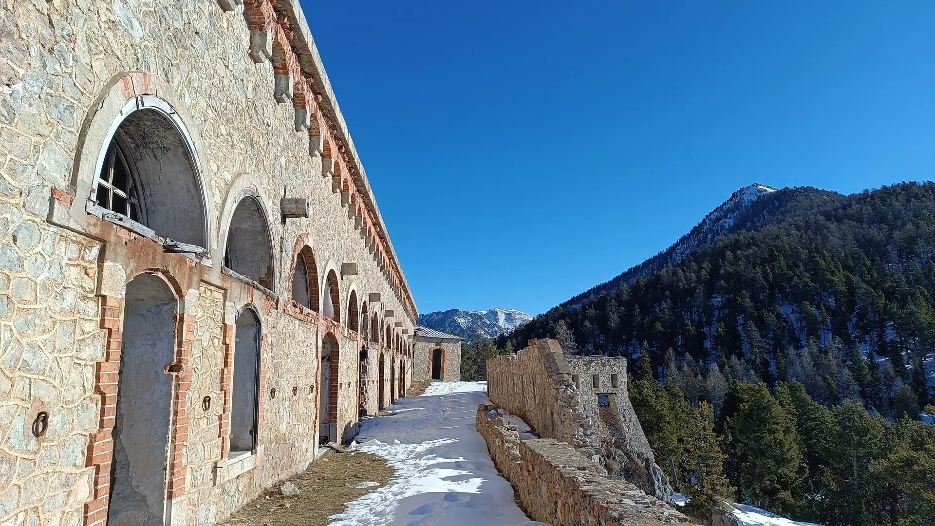
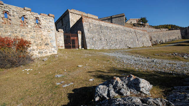
Set off through snow-covered woods to discover this fort built between 1876 and 1879. This hike through the forest on a snow-covered military trail offers the chance to observe numerous animal tracks and leads to a remarkable panorama.
Detailed itinerary :
1. Leave the parking lot and take the road rising towards the forest.
2. At the junction, take the right-hand track and follow the signs for "Fort de la Croix de Bretagne".
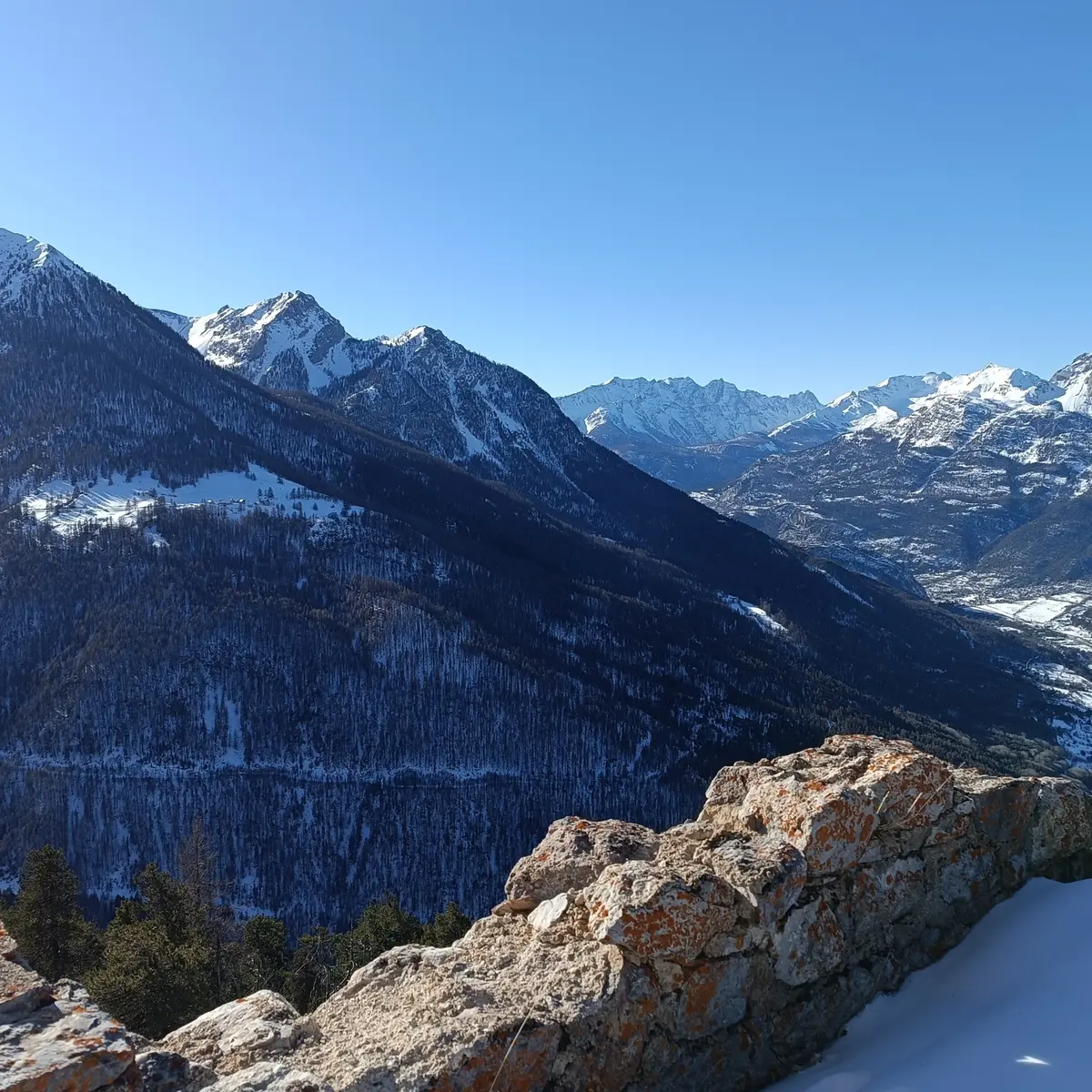
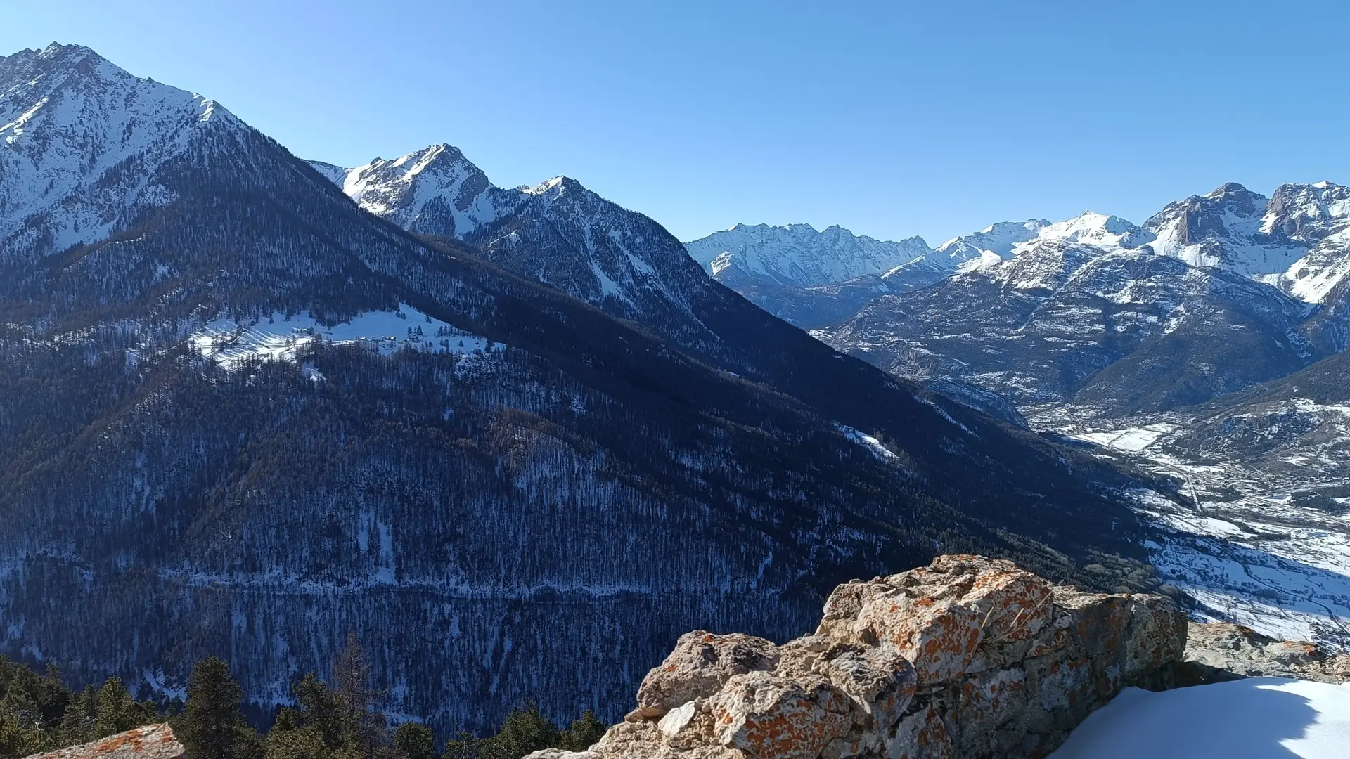
3. The track then rises steadily through the forest without any forks, winding its way up to the fort. At the bend in the trail, a lovely view opens up of the hamlet of Mélézin just opposite and the Mélézin summit, as well as the start of the Ayes valley.
4. Arriving at the fort, a remarkable panoramic view opens up: the crossroads of the 5 valleys, the Durance, the Guisane, the Clarée, the Cerveyrette and the Ayes and all the surrounding peaks.
5. Return by the same route.
We strongly advise against taking the steep path on the north side, which is regularly cut by icy gullies and tree trunks.
Progress on snow-covered terrain is far more demanding than in summer, requiring special equipment and a thorough knowledge of mountain hazards.
An ungroomed itinerary sometimes requires you to "make tracks", to be in good physical condition and well prepared for the outing.
-Consult the weather forecast
-Avalanche risk assessment bulletin
-Consult guidebook recommendations
-Make sure you have the right equipment, including avalanche transceivers, shovels and probes.
-Choose an itinerary suited to your physical condition
-Never set off alone.