Batterie des Caurres

Fortin du Serre de l'Aut

Sport, Cycling sports, Mountain biking itinerary in Saint-Paul-sur-Ubaye
12.4 km
2h
Hard
  • Start from the car park at the entrance to Tournoux village.

  • Take the slightly downhill track heading south-east and continue for 5.7km to the Fort des Caurres.

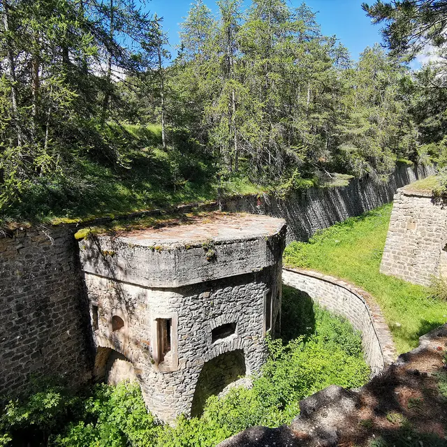
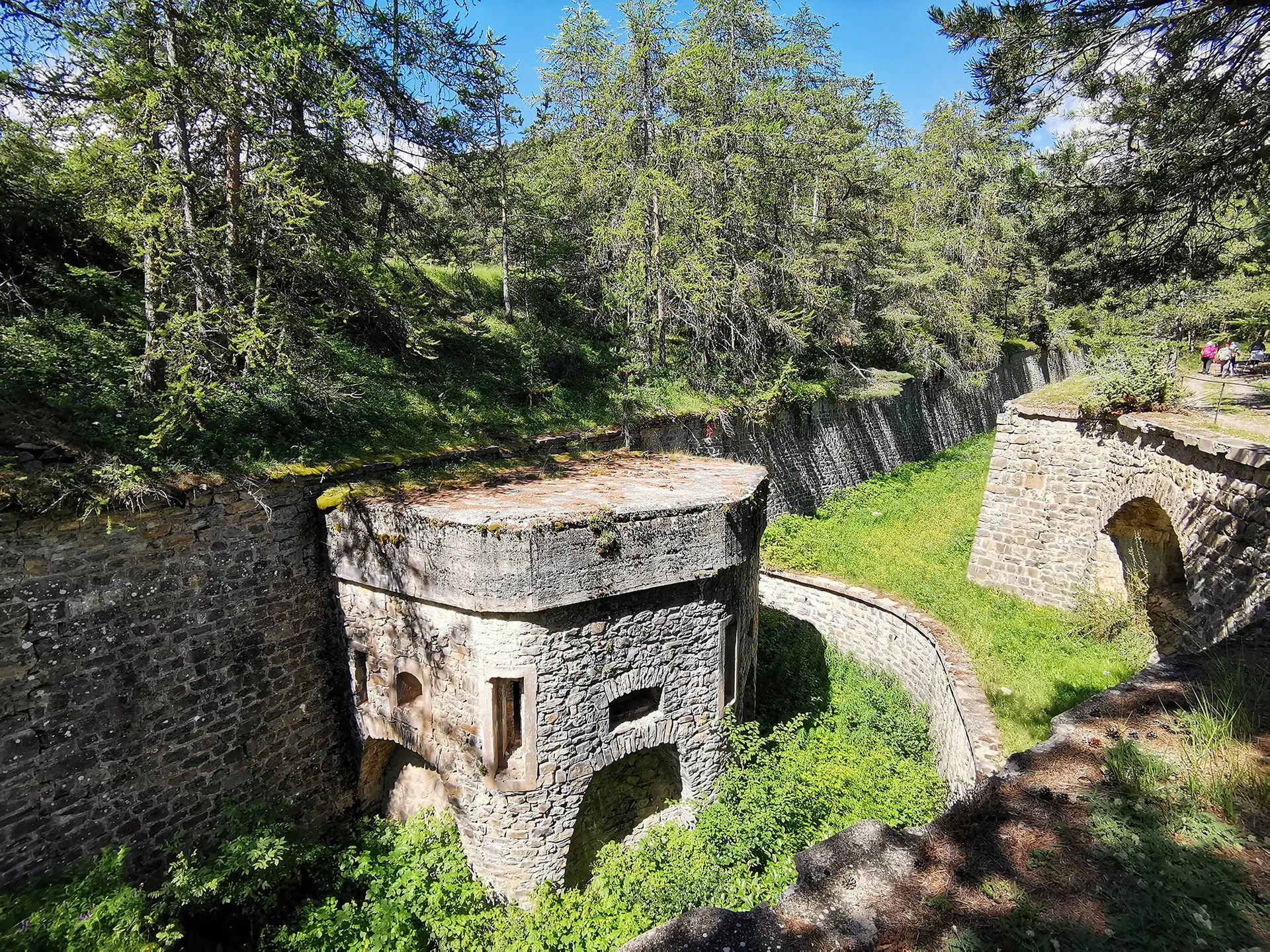
    The track continues and becomes steeper for 2.6km, as far as the Serre de l'Aut fort.

    Go around the fort to the right as far as the Observatory.

    Turn right onto the downhill path. The first few bends are technical, then the descent continues on steep logging tracks interspersed with flat areas.
  • Accepted customers
    • Level red – hard
554 meters of difference in height
  • Maximum altitude : 1948 m
  • Minimum altitude : 1448 m
  • Total positive elevation : 554 m
  • Total negative elevation : -554 m
  • Max positive elevation : 274 m
  • Min positive elevation : -297 m