Hameau de Maljasset

From Barcelonnette to Maljasset

Sport, Cycling sports, Cycle tourism route in Barcelonnette
35.3 km
  • Discover the source of the Ubaye River.
    A warm welcome awaits cycle tour enthusiasts in the Upper Ubaye Valley.

  • The route increases in difficulty: an easy climb from Barcelonnette to Les Gleizolles, a steeper slope to Serenne and then a fast pace to the hamlet of Maljasset, one of the highest settlements in Europe, in the Maurin valley.

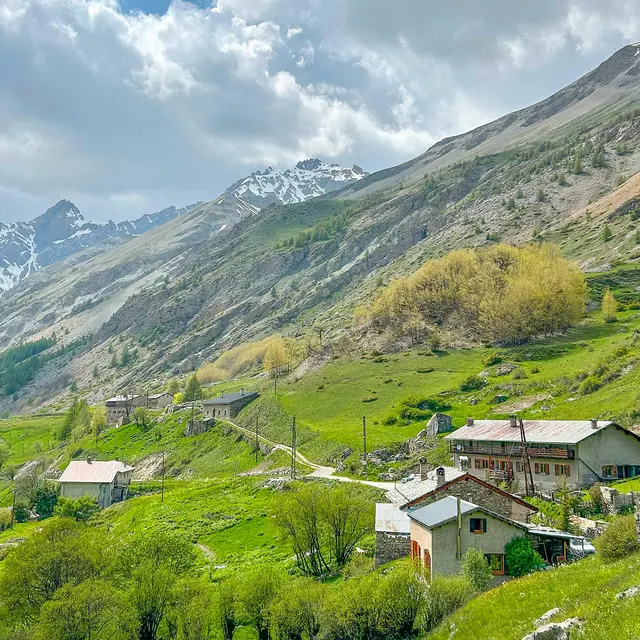
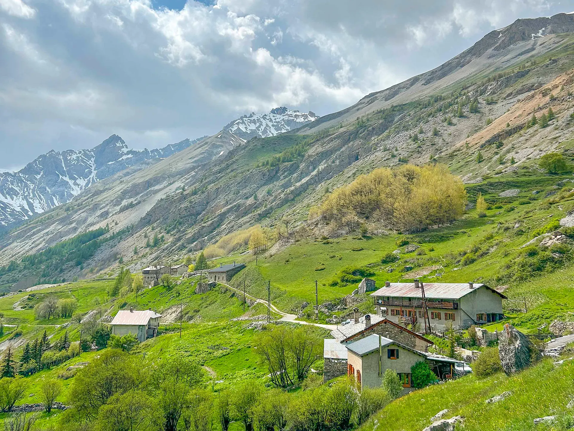
    The route passes through a number of picturesque villages, such as St-Antoine and La Barge, with their stone-roofed houses and facades adorned with sundials.

    You will then reach the end of the world: Maljasset, at the source of the bubbling Ubaye!
  • Departure
    Barcelonnette
  • Difference in height
    1035.12 m
  • Plain text rates
    Free of charge.
  • Documentation
    GPX / KML files allow you to export the trail of your hike to your GPS (or other navigation tool)
1035 meters of difference in height
  • Maximum altitude : 1904 m
  • Minimum altitude : 1138 m
  • Total positive elevation : 1035 m
  • Total negative elevation : -273 m
  • Max positive elevation : 164 m
  • Min positive elevation : -32 m