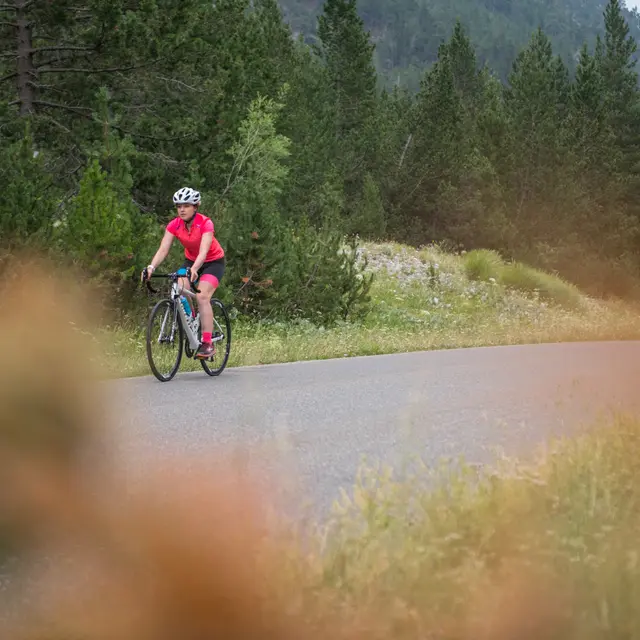
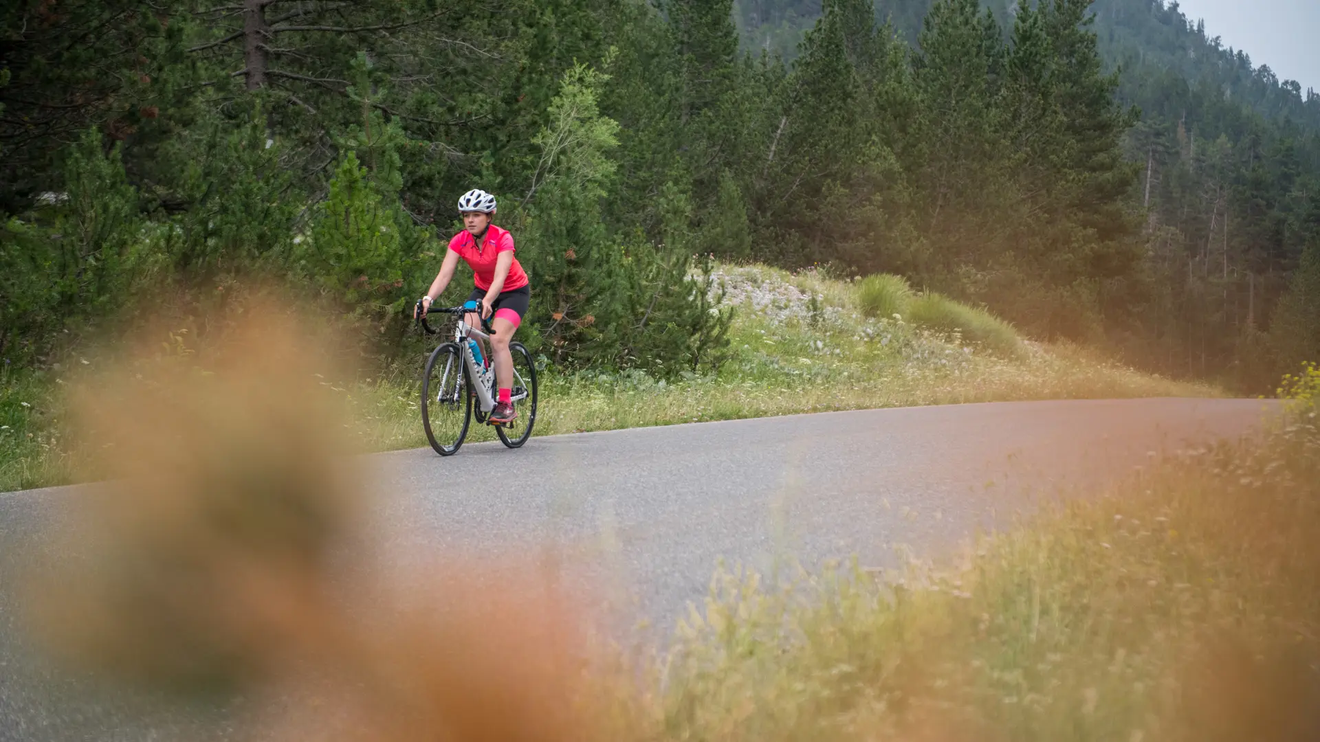
Detailed itinerary :
- From the parking lot, turn right onto the RD 902 to reach Briançon.
- Once in Briançon, at the Font Christianne hamlet, continue straight ahead on the RD 902 until you reach the Izoard traffic circle.
- At the traffic circle, take the 4th exit. Then take the 1st road on the right, following the sign "Toutes directions - Gap".
- At the traffic circle in front of E.Leclerc, take the 1st exit on the right and cross the bridge.
- At the next traffic circle, take the 1st exit on the right, then go straight on to take the Chaussée (steeply-sloping road).
- Follow the Chaussée up to the cease-and-desist sign. At the intersection, turn right towards "Turin - Montgenèvre - Névache".
- At the Champs de Mars traffic circle, continue in the direction of Turin to leave Briançon on the RN 94.
- After approx. 7 km, at La Vachette, turn left towards "Vallée de la Clarée, Névache, Val-des-Prés", on the RD 944G.
- In the village of La Vachette, at the church, turn left towards Névache. Continue straight on for 15 km (take care when crossing Val-des-Prés in July/August, which is regulated by an alternative traffic light).
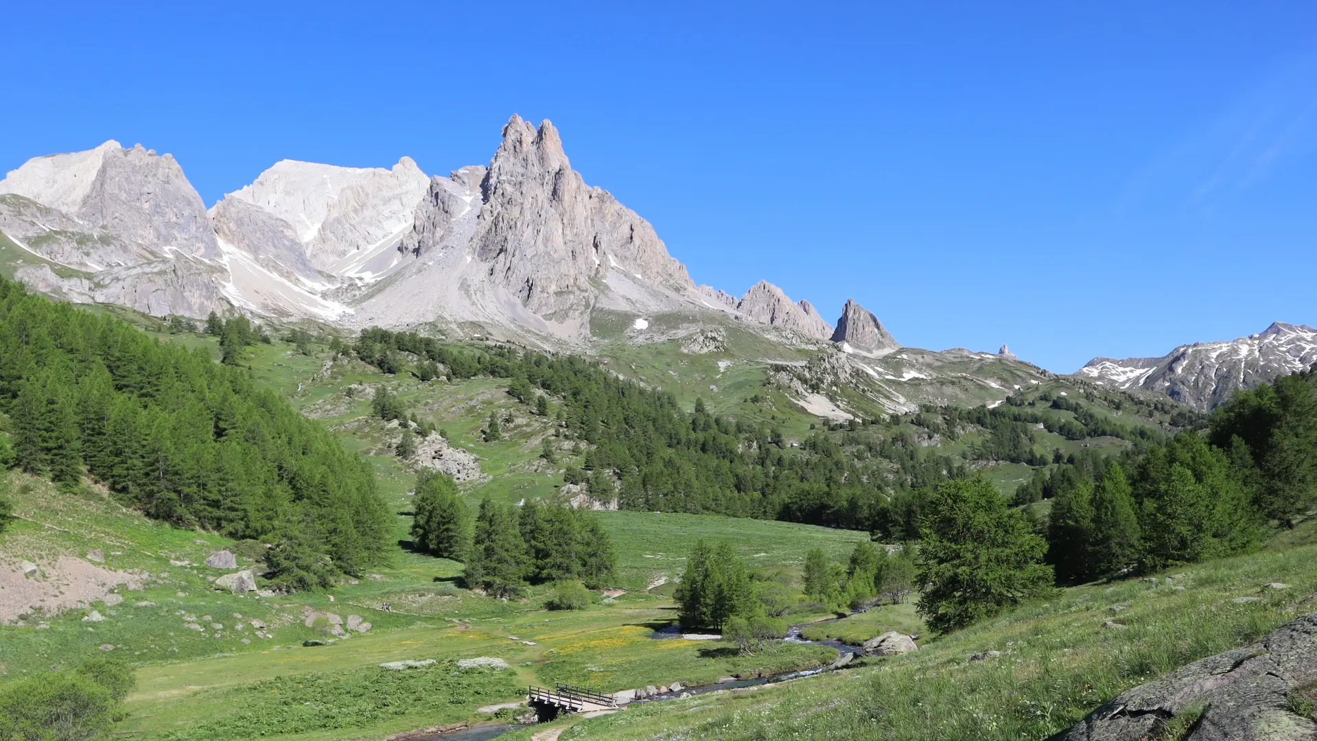
- Once in Névache - Roubion, stay on the main road towards Ville Haute and the upper Clarée valley.
- When you reach Névache - Ville Haute, turn right at the traffic circle onto the RD 301T towards the Haute Vallée.
- Once through the village, continue straight on until you reach Laval (approx. 10 km) - (Beware of traffic and shuttle buses from the Haute Vallée in July and August).
- Return by the same route
- At the traffic circle at the bottom of the Chaussée à Briançon, take the leftmost exit onto rue Centrale (one-way street). At the end of Rue Centrale, head for Col de l'Izoard at the traffic circle to return to Cervières.
Read more