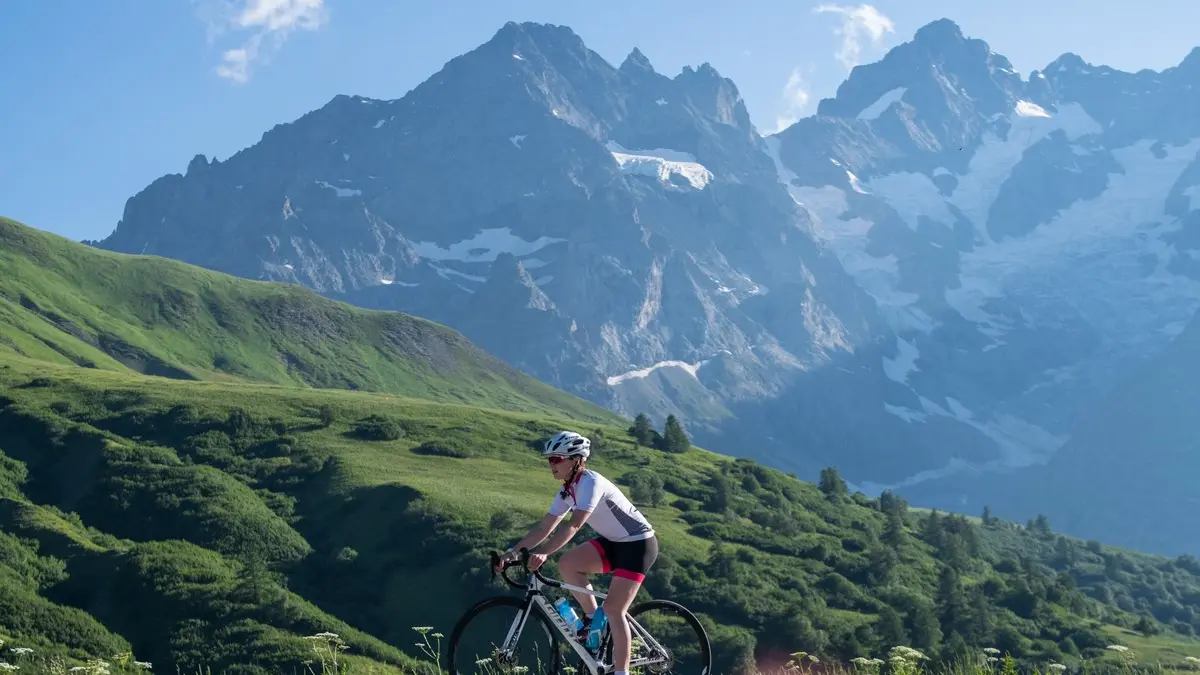
Detailed itinerary :
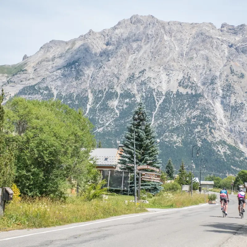
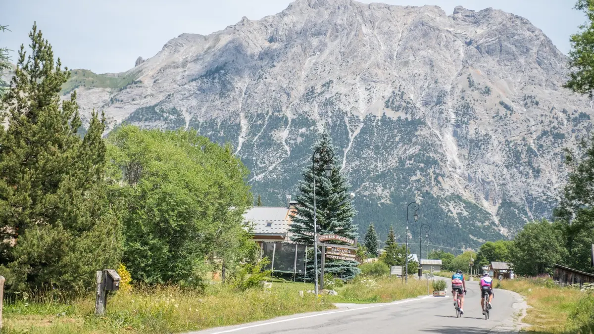
- From the course, take the road on the left towards Briançon on the RD 1091 and head down the Serre Chevalier valley.
- At Monetier-les-Bains, continue straight on towards Briançon.
- Pass through the villages of La Salle Les Alpes - Serre Chevalier 1400 and Chantemerle - Serre Chevalier 1350.
- Once in Briançon, take the first road on the left after the town entrance sign on Avenue de Grenoble. Continue straight on until you reach the Champs de Mars traffic circle.
- At the Champs de Mars traffic circle, take the 5th exit on the left towards Montgenèvre, on the RN 94.
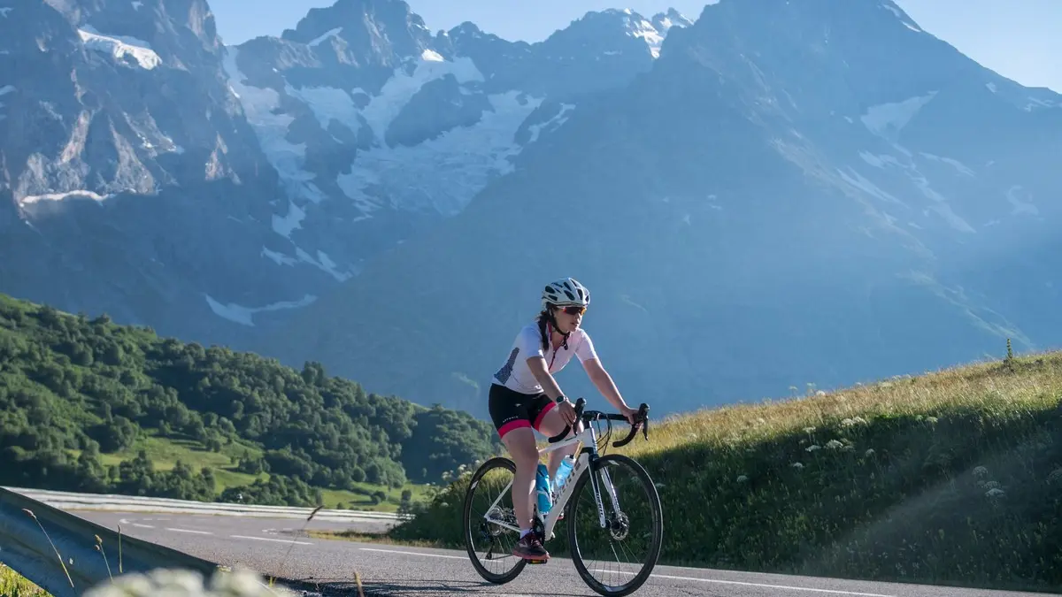
- At the La Vachette crossroads, take the left-hand lane and turn towards Névache - Vallée de la Clarée, on the RD 944G.
- In the village of La Vachette, at the church, turn left towards Névache. Continue straight on for 15 km (take care not to cross Val-des-Prés in July/August, which is regulated by an alternative traffic light).
- Once in Névache - Roubion, stay on the main road towards Ville Haute and the upper Clarée valley.
- When you reach Névache - Ville Haute, turn right at the traffic circle onto the RD 301T, heading for the upper valley.
- Once through the village, continue straight on until you reach Laval (approx. 10 km) - (Beware of traffic and shuttle buses from the Haute Vallée in July and August).
- Return by the same route
Read more