See photos (2)

From La Grave to Col des Portes

Sport, Cycling sports, Cycle tourism route in La Grave
11.0 km
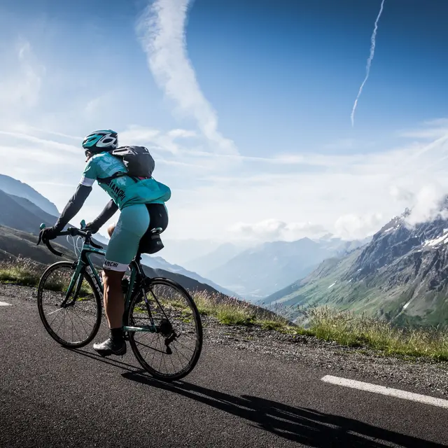
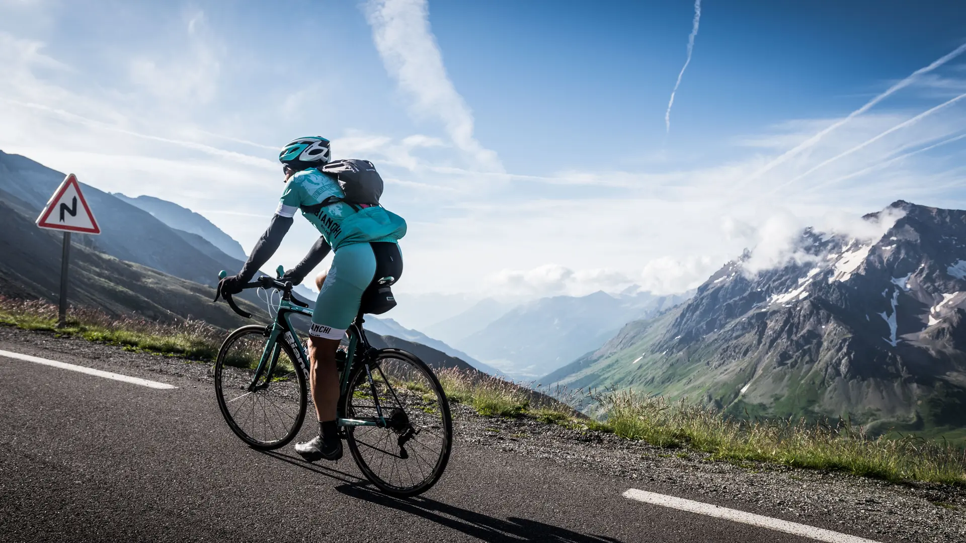
  • A small, winding road with tight hairpins leads to the hamlets of La Grave, where the Meije, Râteau and glaciers seem to be right there in front of our wheels.

  • It is also possible to start from Villar d'Arène if you wish to extend the route. This would involve a round trip of 13.5 km and 436 D+.
  • Departure
    La Grave
  • Difference in height
    589.667 m
  • Plain text period
    From 01/05 to 30/10 daily.
  • Spoken languages
    • French
  • Documentation
    GPX / KML files allow you to export the trail of your hike to your GPS (or other navigation tool)
  • Accepted customers
    • Level green – easy
590 meters of difference in height
  • Maximum altitude : 1825 m
  • Minimum altitude : 1463 m
  • Total positive elevation : 590 m
  • Total negative elevation : -590 m
  • Max positive elevation : 144 m
  • Min positive elevation : -242 m