See photos (2)

From La Grave to Col du Galibier

Sport, Cycling sports, Cycle tourism route in La Grave
39.4 km
5h
Very difficult
  • Conquer one of the Tour de France's most legendary passes: the Col du Galibier!

  • Detailed itinerary :

    - Turn right out of the parking lot towards Briançon and continue straight ahead on the RD 1091.

    - On leaving the village of La Grave, go through the Serre du Coin tunnel, then the Ardoisières tunnel (caution: the tunnels are poorly lit).

    - At the end of the tunnel, continue on the RD 1091 and go around the village of Villar d'Arène.

    - On leaving Villar d'Arène, continue in the direction of Briançon, to the summit of the Col du Lautaret.

    - At the Col du...
    Detailed itinerary :

    - Turn right out of the parking lot towards Briançon and continue straight ahead on the RD 1091.

    - On leaving the village of La Grave, go through the Serre du Coin tunnel, then the Ardoisières tunnel (caution: the tunnels are poorly lit).

    - At the end of the tunnel, continue on the RD 1091 and go around the village of Villar d'Arène.

    - On leaving Villar d'Arène, continue in the direction of Briançon, to the summit of the Col du Lautaret.

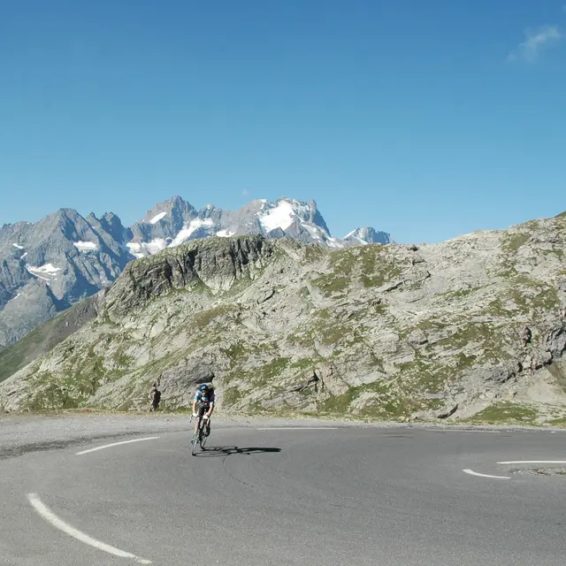
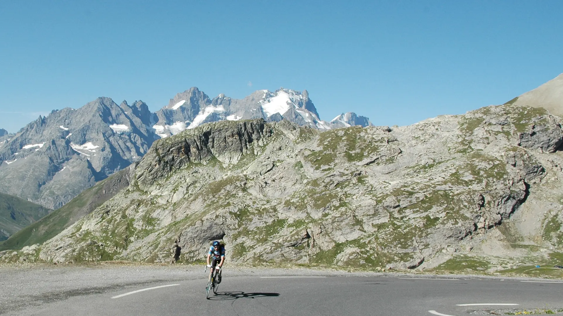
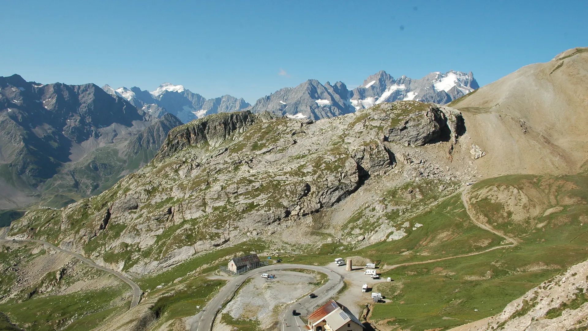
    - At the Col du Lautaret, turn left towards the Col du Galibier on the RD 902. Climb for about 6 km.

    - At the tunnel, turn right and continue up the Col du Galibier to the summit. Don't forget to take the photo once you've reached the top.

    - Return to La Grave by the same route.
  • Departure
    La Grave
  • Difference in height
    1350.81 m
  • Plain text period
    From 01/06 to 01/10 daily.

    Subject to favorable snow and weather conditions.
  • Environment
    • Mountain view
    • Panoramic view
  • Spoken languages
    • French
  • Documentation
    GPX / KML files allow you to export the trail of your hike to your GPS (or other navigation tool)
  • Accepted customers
    • For experts / practiced
    • Level black - very hard
1351 meters of difference in height
  • Maximum altitude : 2628 m
  • Minimum altitude : 1465 m
  • Total positive elevation : 1351 m
  • Total negative elevation : -1351 m
  • Max positive elevation : 151 m
  • Min positive elevation : -388 m
Services
  • Equipment
    • Free car park
    • Car park
    • Public WC