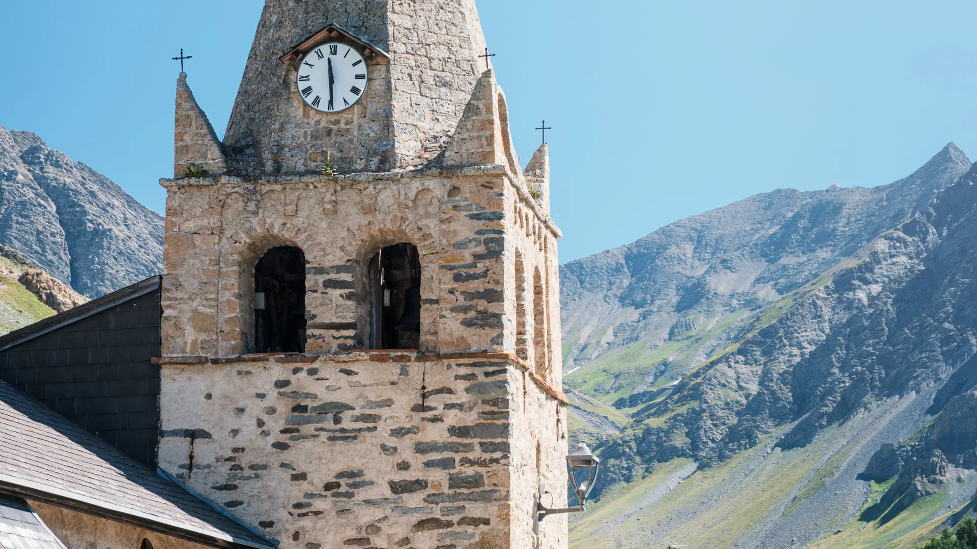
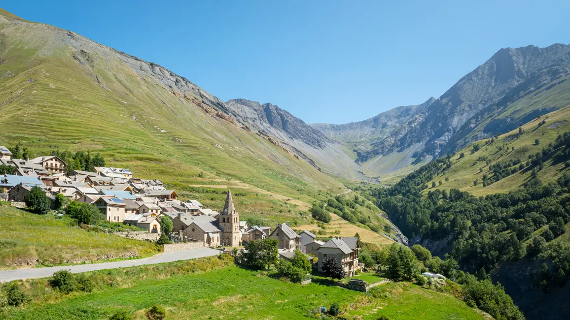
From the Tourist Office, head up through the village towards the church, leaving it on your left and continuing straight on uphill. Pass the last houses and quickly fork right towards Ventelon.
At the top of the path, cross the road and pick it up again on the opposite side to cut the hairpin bend in the road.
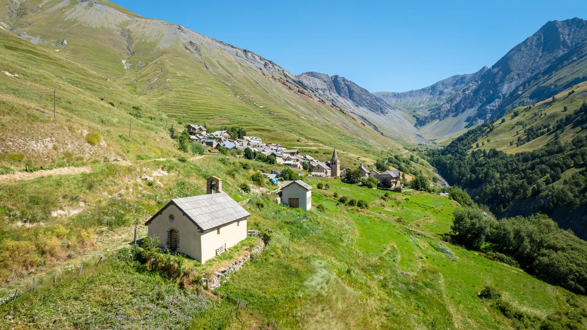
Once back on the road, pass the sheepfold and continue around the bend to the left towards the hamlet of Les Terrasses.
At the entrance to the hamlet, fork left to take the small road leading downhill. At the end of this road, the GR54 starts, taking you back to La Grave via the "Champs Lombards".
Medium level.
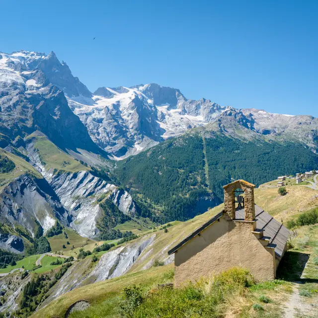
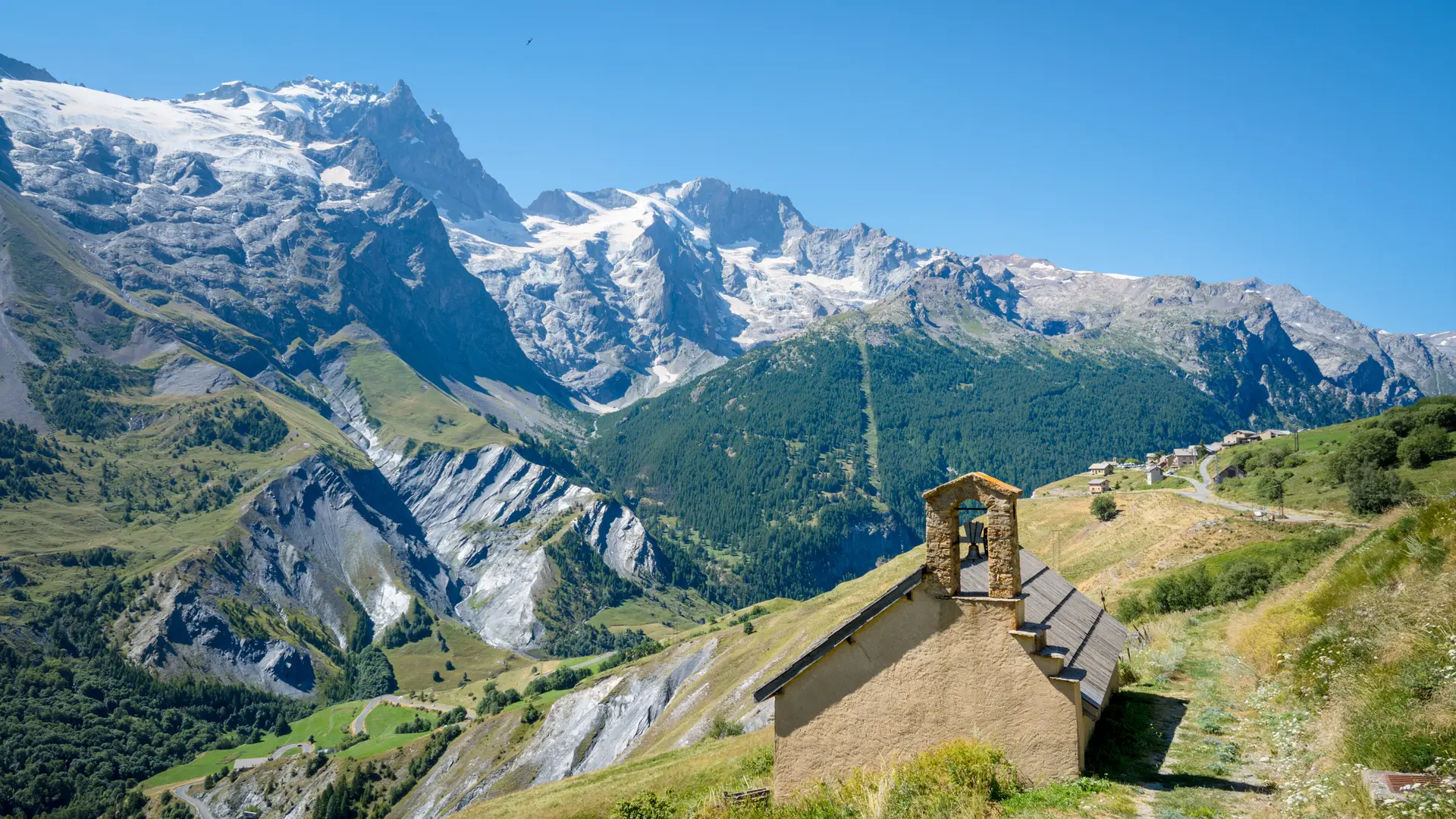
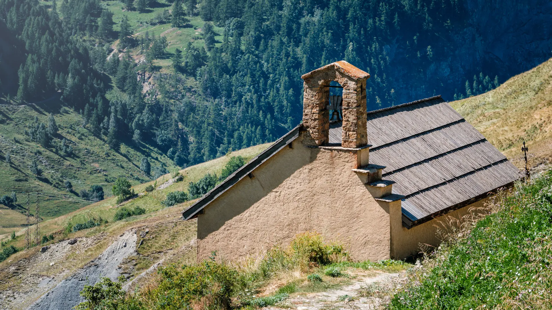
The climb from La Grave is steep and south-facing, so it's best to start early in the morning. Along the way, you can refresh yourself at the various Ventelon and Les Terrasses fountains.
You may cross fields with animals, so be sure to close the fences behind you.
Read more