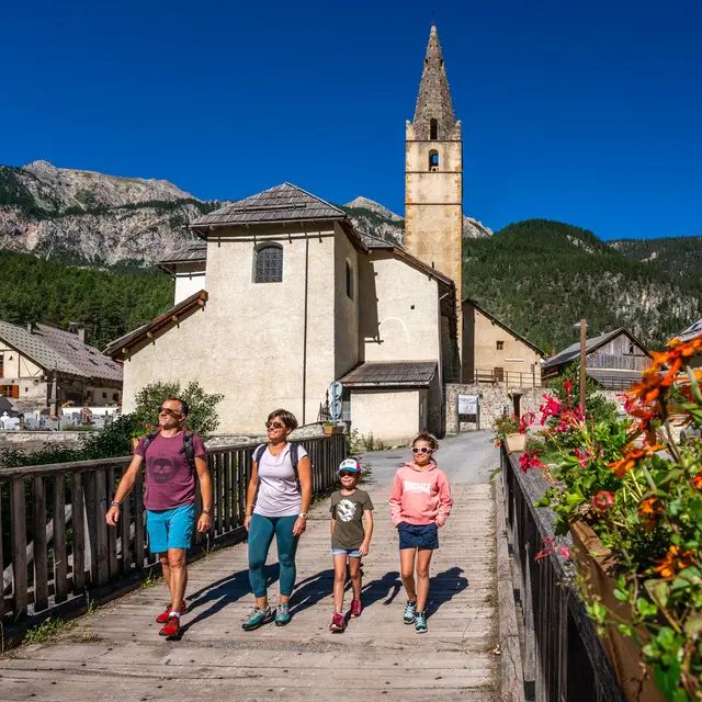
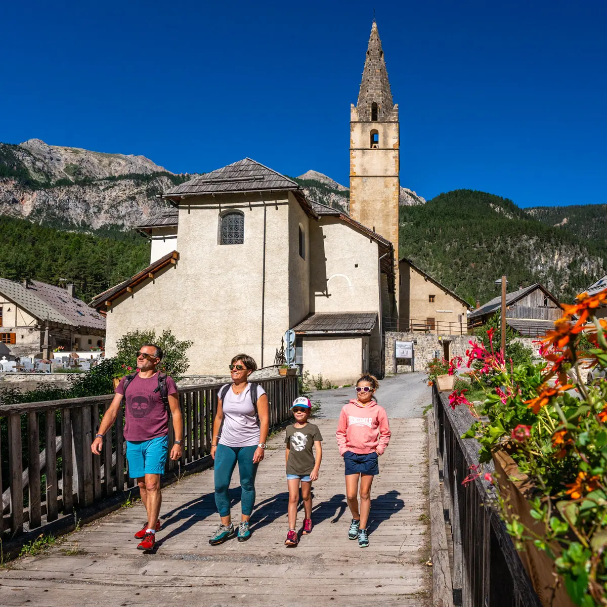
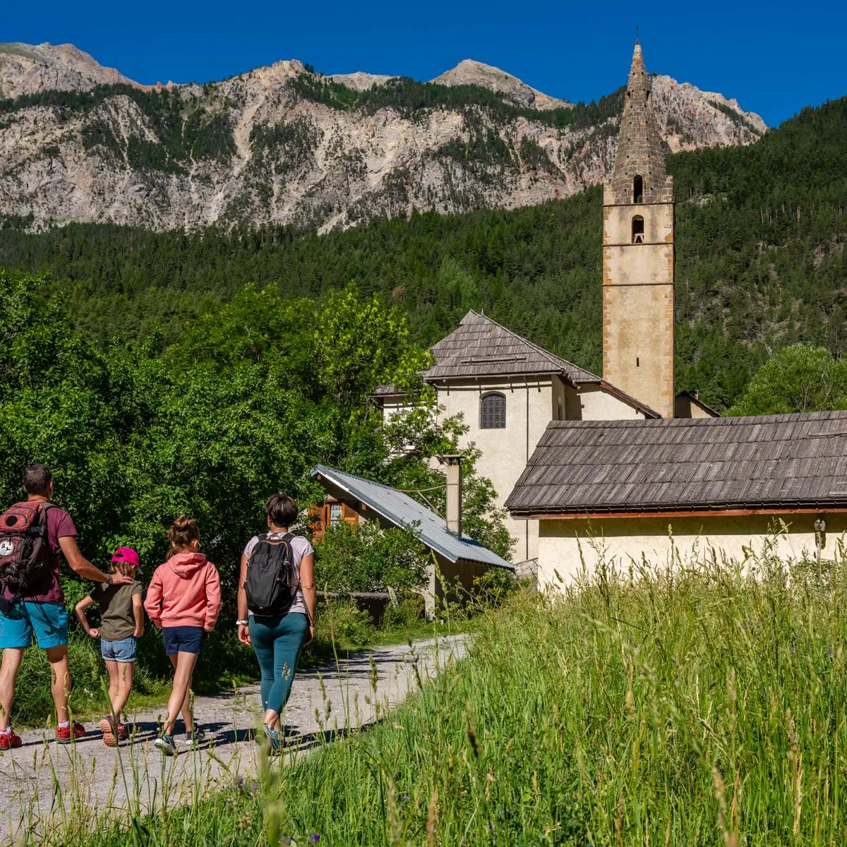
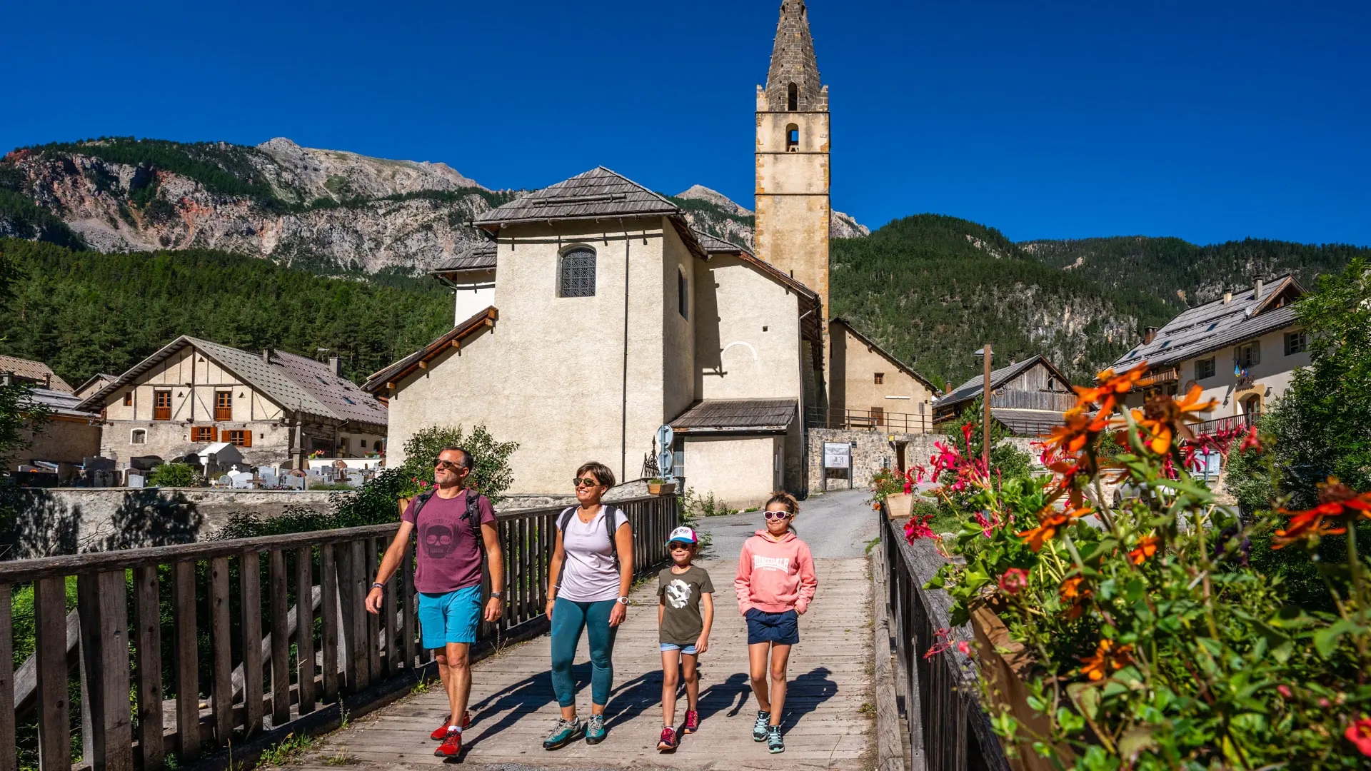
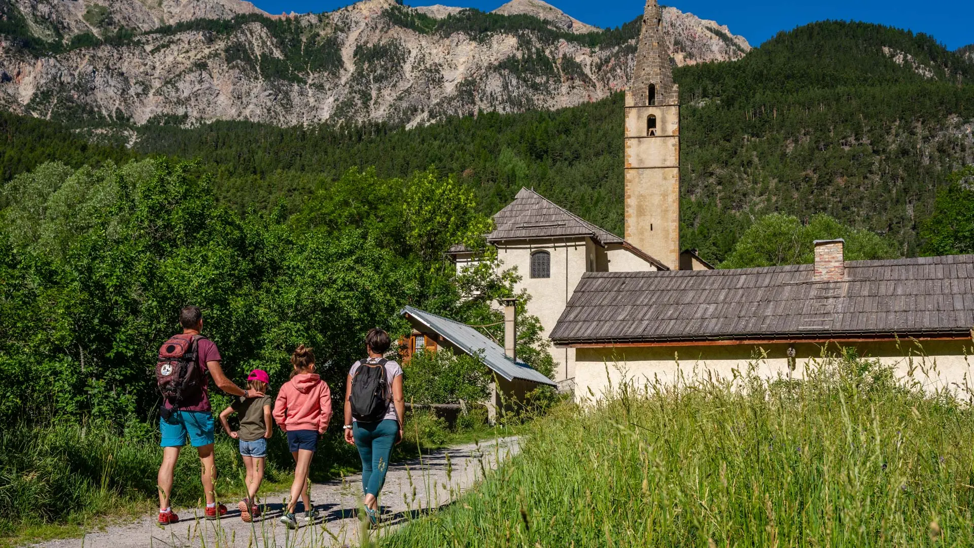
From the Rosier parking lot opposite the Huttopia campsite, cross the bridge to the left bank of the river, then take the wide track to the left of the bridge. This runs along the Clarée for around 1km to reach Val-des-Prés and the beautiful church of Saint-Claude, which can be seen in the distance.
The trail soon comes to a bridge and the Val-des-Prés "Chef-Lieu" bread oven.
Don't hesitate to cross the bridge to see the sundial at the town hall and admire the magnificent porch of the Saint-Claude church, then return to the bridge to continue along the track that runs alongside the Four à Pain and the river.
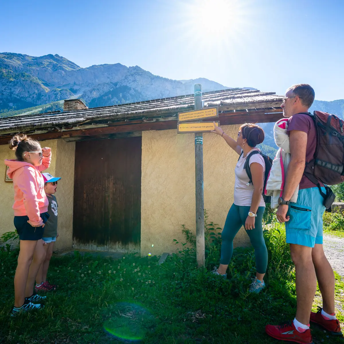
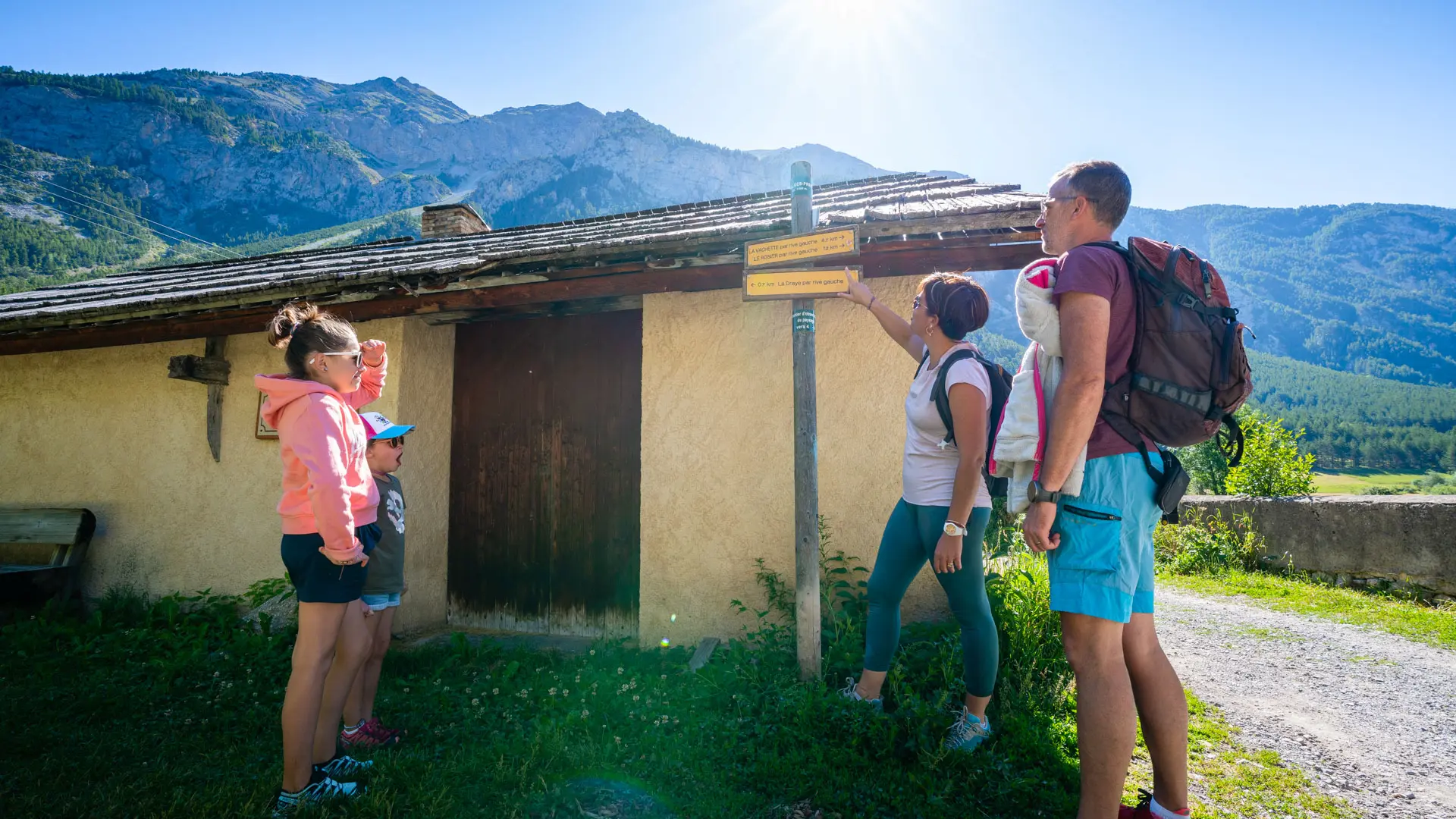
Ignore the small path on the left and continue along the track, which rises steadily in an S-shape: the track then narrows to the left, descending through the fields to reach the Pont de la Draye 600 metres further on.
The dirt track then comes out onto the departmental road and the Pont de la Draye bridge. Stop at the fountain on the other side of the bridge, and return by the same route.
You can also continue along the right bank of the river! To do so, cross the bridge and take the small asphalt road on the right, skirting the last houses on the Draye, where the road becomes a gravel track and continues as far as Plampinet.
Read more