See photos (10)

From the Source to the Comtadine Venice

Sport, Cycling sports, Cycle tourism route, Routes for electrically assisted cycles in L' Isle-sur-la-Sorgue
Unresolved hours
24.5 km
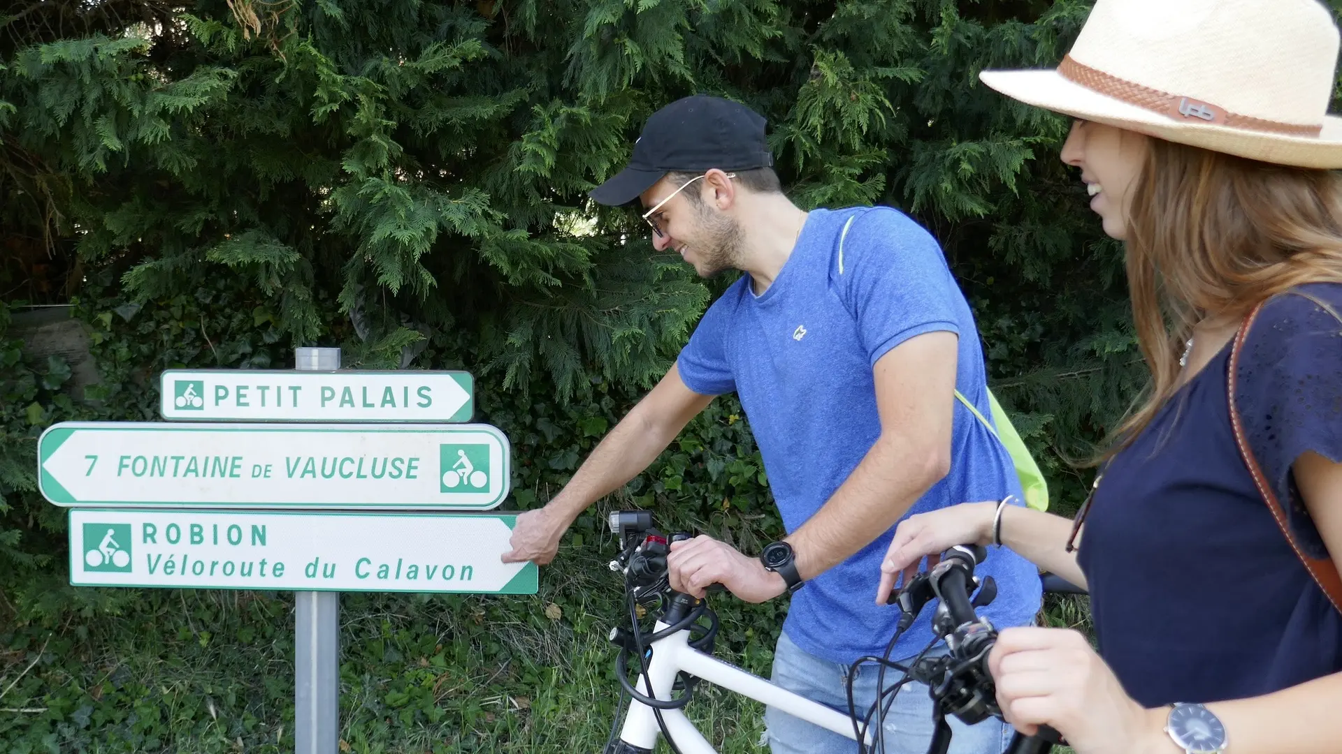
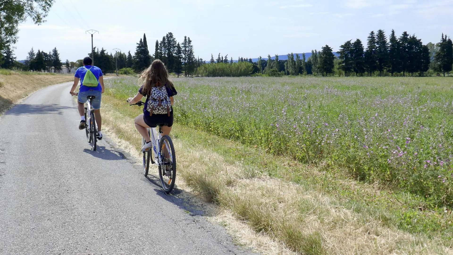
  • Distance: 21 km - Level: family - Signposted - Parking du Portalet - L'Isle sur la Sorgue

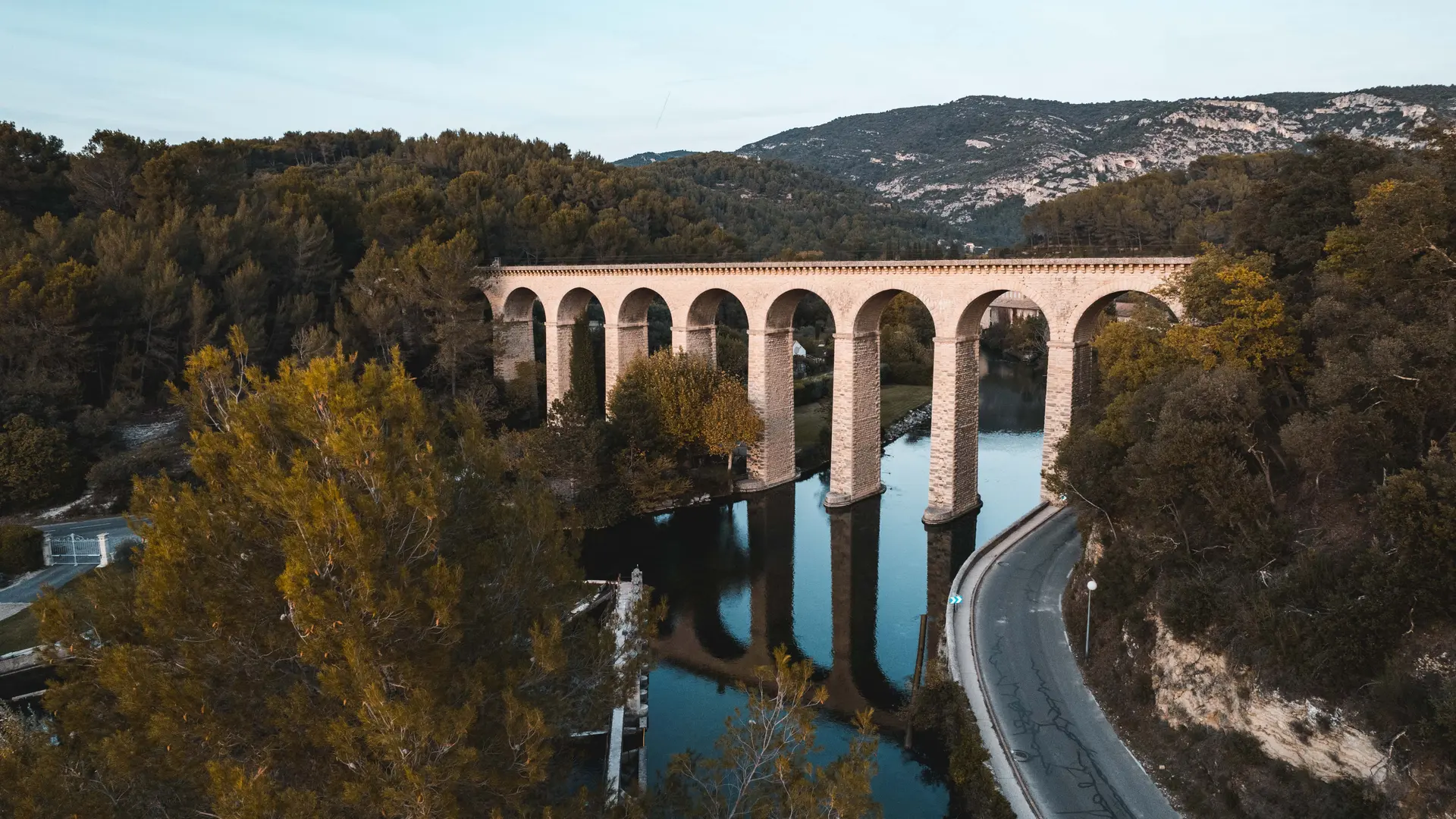
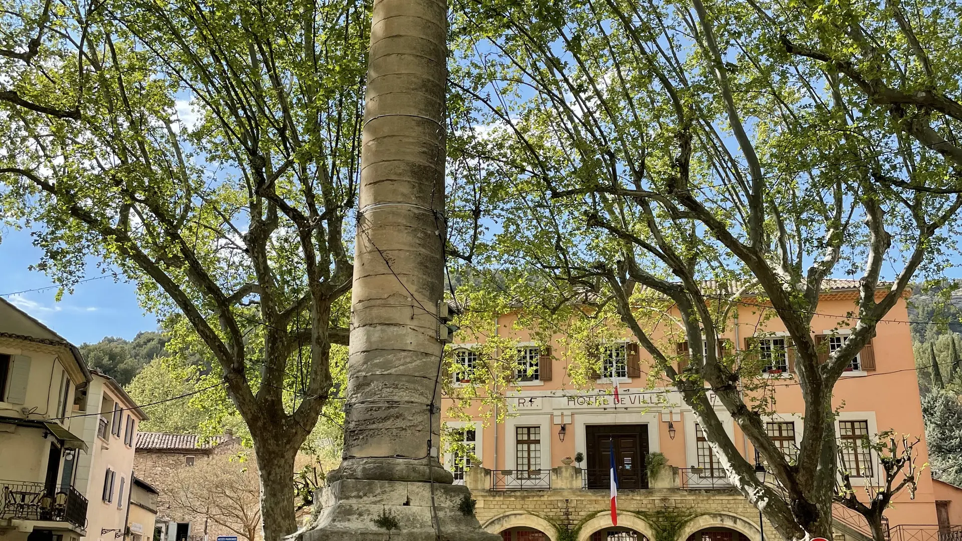
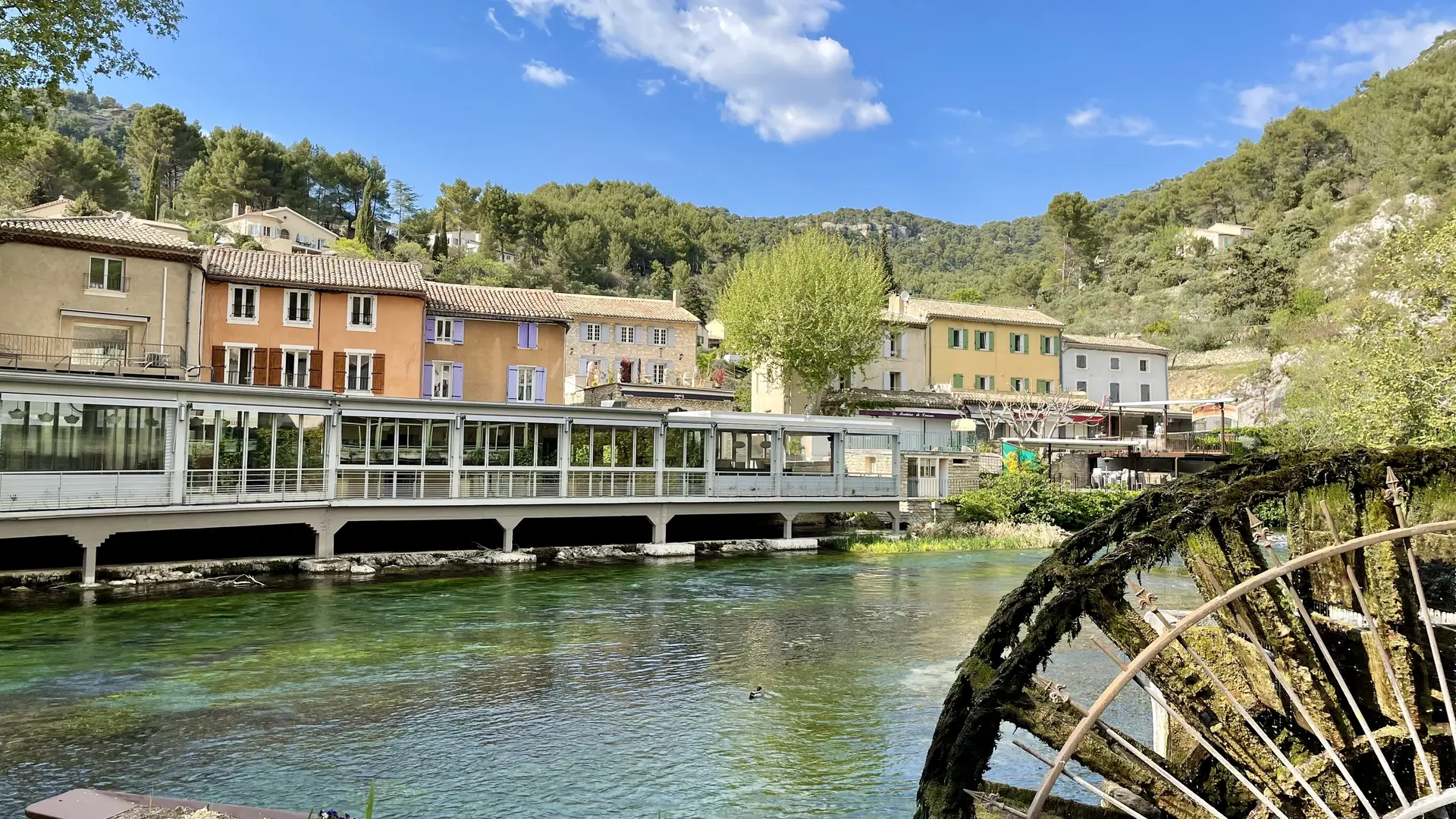
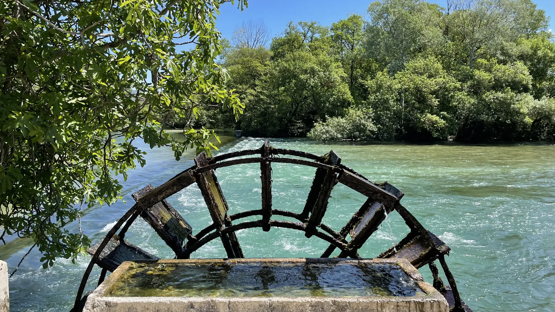
  • The great sites of the Sorgue await you on this ride. You will have lots of time to admire the gouffre (underwater caves), the Partage des Eaux (where the river splits) and the river Sorgue. Your gentle winding ride over the plain will also take you through the orchards.
  • Departure
    L' Isle-sur-la-Sorgue
  • Difference in height
    316.618 m
  • Spoken languages
    • French
  • Documentation
    GPX / KML files allow you to export the trail of your hike to your GPS (or other navigation tool)
317 meters of difference in height
Created with Highcharts 6.2.0Distance (km)Altitude (m)0 km2 km4 km6 km8 km10 km12 km14 km16 km18 km20 km22 km24 km50 m100 m150 m200 m250 mHighcharts.com
  • Maximum altitude : 233 m
  • Minimum altitude : 59 m
  • Total positive elevation : 317 m
  • Total negative elevation : -317 m
  • Max positive elevation : 65 m
  • Min positive elevation : -62 m