From the parking lot, join the departmental road and head for Grenoble. Be careful, after about 1 km, following two hairpin bends, you'll pass through the Ardoisières tunnel, followed by the Serre du Coin tunnel, 1 km further on. The tunnels are poorly lit, so remember to make yourself visible to other vehicles.
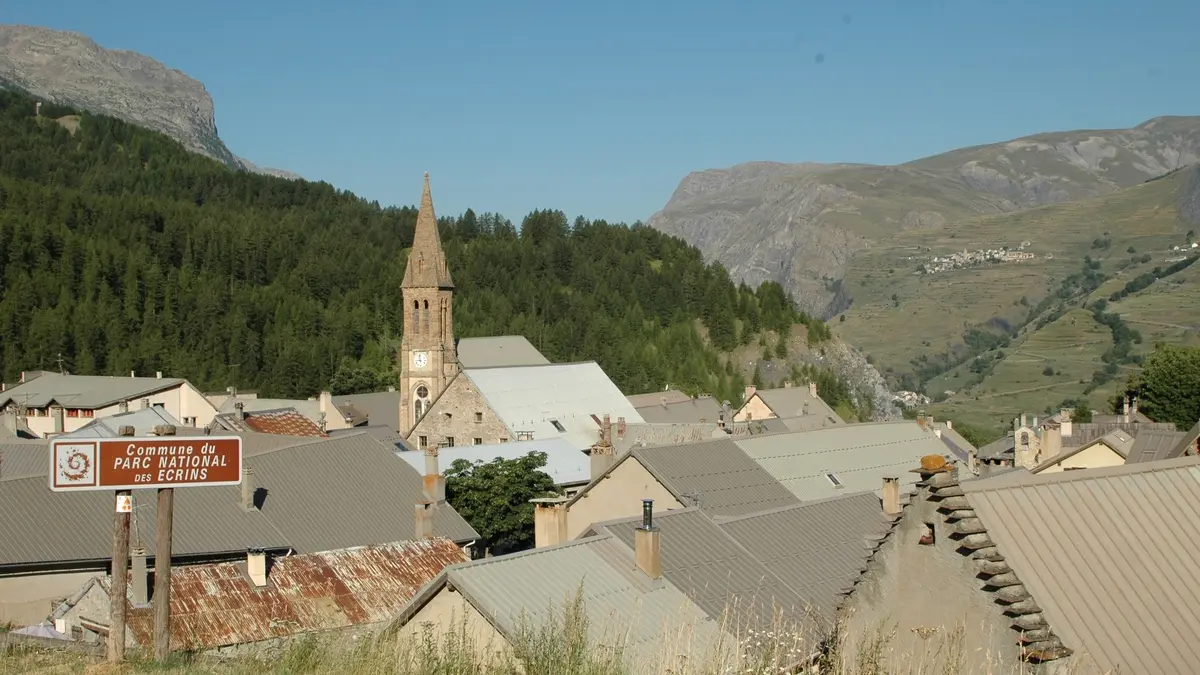
At the end of the Serre du Coin tunnel, continue straight on through the village of La Grave, heading for Grenoble for around 15 km. During these 15 km, take care when crossing the Grand Clos and Chambon tunnels. The tunnels are poorly lit, so remember to make yourself visible to other vehicles.
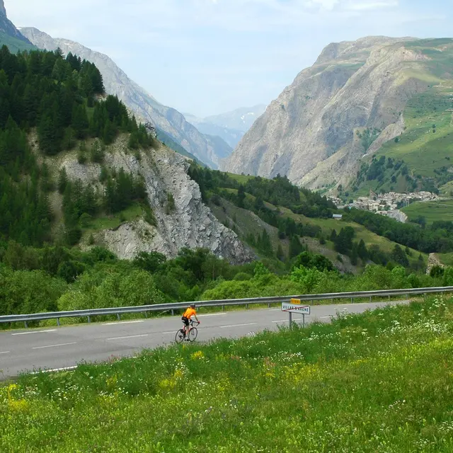
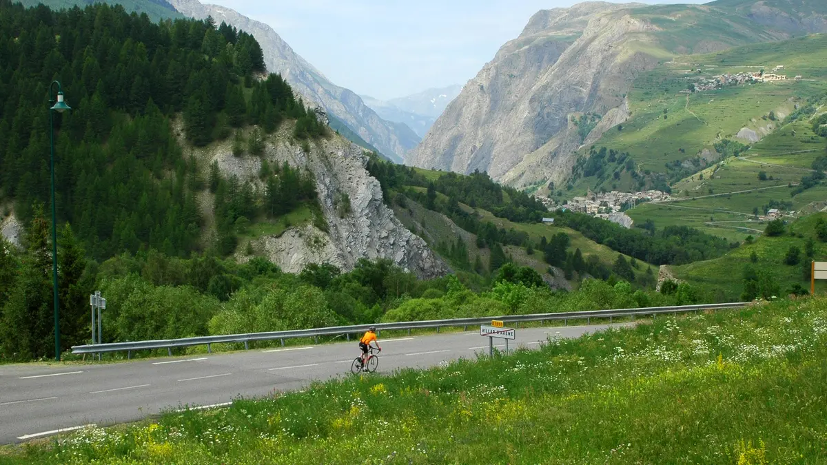
At the Chambon dam, after crossing the dam, turn left towards Les Deux Alpes. Follow the main road up for about 8 km.
Once in Les Deux Alpes, enter the resort and take Avenue de la Muzelle for about 2 km.
At the traffic circle, turn left (2nd exit) onto Rue des Vikings. At the next traffic circle, take the left exit (4th exit) onto Rue des Sagnes.
Continue downhill for 400m to reach Place des Deux Alpes.
Read more