See photos (3)

GR® de Pays – Grande Traversée des Préalpes (GTPA)

Sport, Pedestrian sports, Hiking itinerary in Digne-les-Bains
52.0 km
  • A stage that will take you through a wild mountain setting, alternating between wooded ravines and ridge paths at the Col de Mounis. You will then begin a gradual return to farmland during the descent that will take you to Thoard.

  • This GRP® GTPA crossing can be split up since there are many easy rail and road accesses. In particular, it is possible to:
    – Sisteron – Digne-les-Bains in 3 days
    – Digne-les-Bains – Entrevaux in 5 to 6 days


    Stage Saint-Geniez – Thoard (7h30 - 25 km - 930m D+): A stage that will take you through a wild mountain setting, alternating between wooded ravines and ridge paths at the Col de Mounis. You will then begin a gradual return to farmland during the descent that will take you to...
    This GRP® GTPA crossing can be split up since there are many easy rail and road accesses. In particular, it is possible to:
    – Sisteron – Digne-les-Bains in 3 days
    – Digne-les-Bains – Entrevaux in 5 to 6 days


    Stage Saint-Geniez – Thoard (7h30 - 25 km - 930m D+): A stage that will take you through a wild mountain setting, alternating between wooded ravines and ridge paths at the Col de Mounis. You will then begin a gradual return to farmland during the descent that will take you to Thoard.

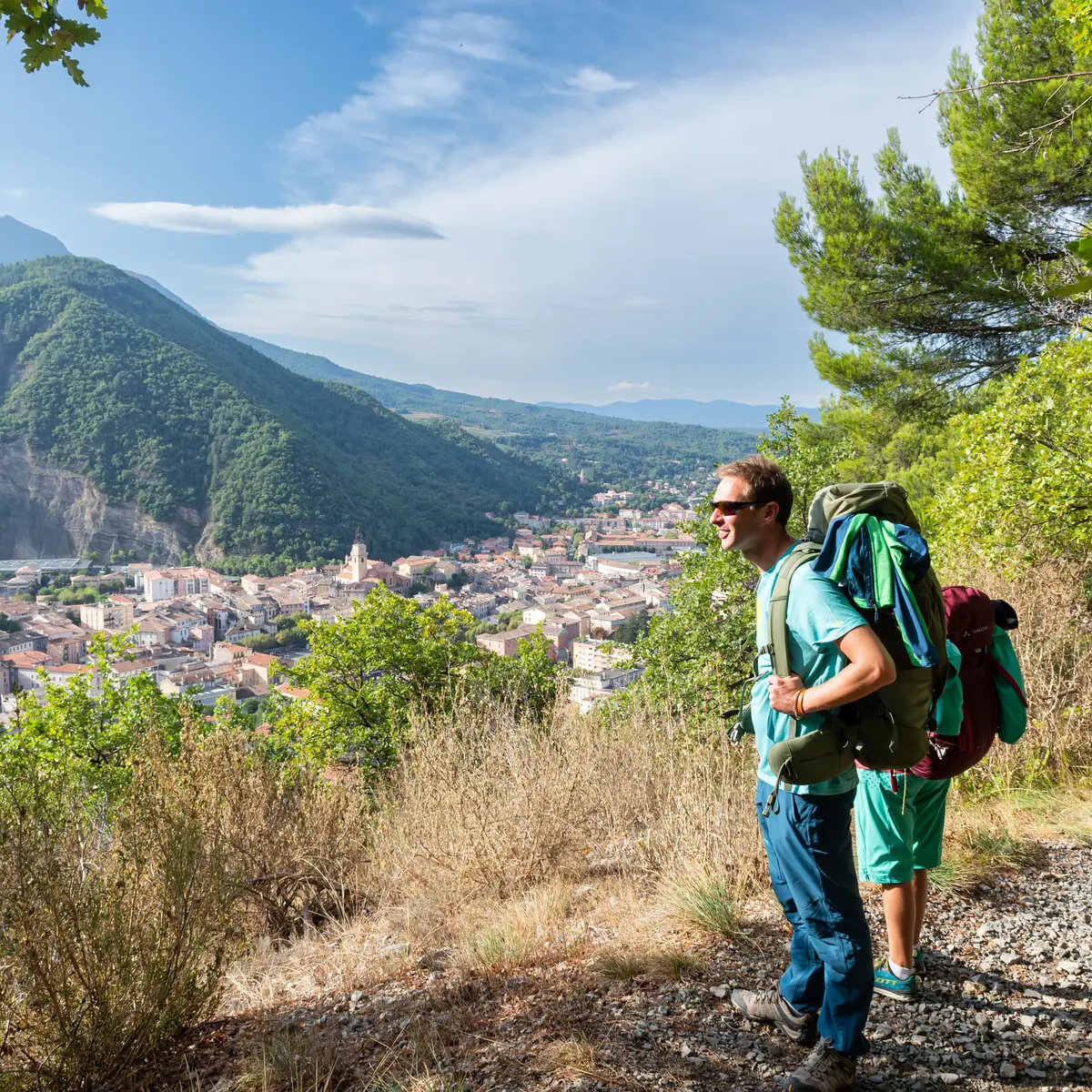
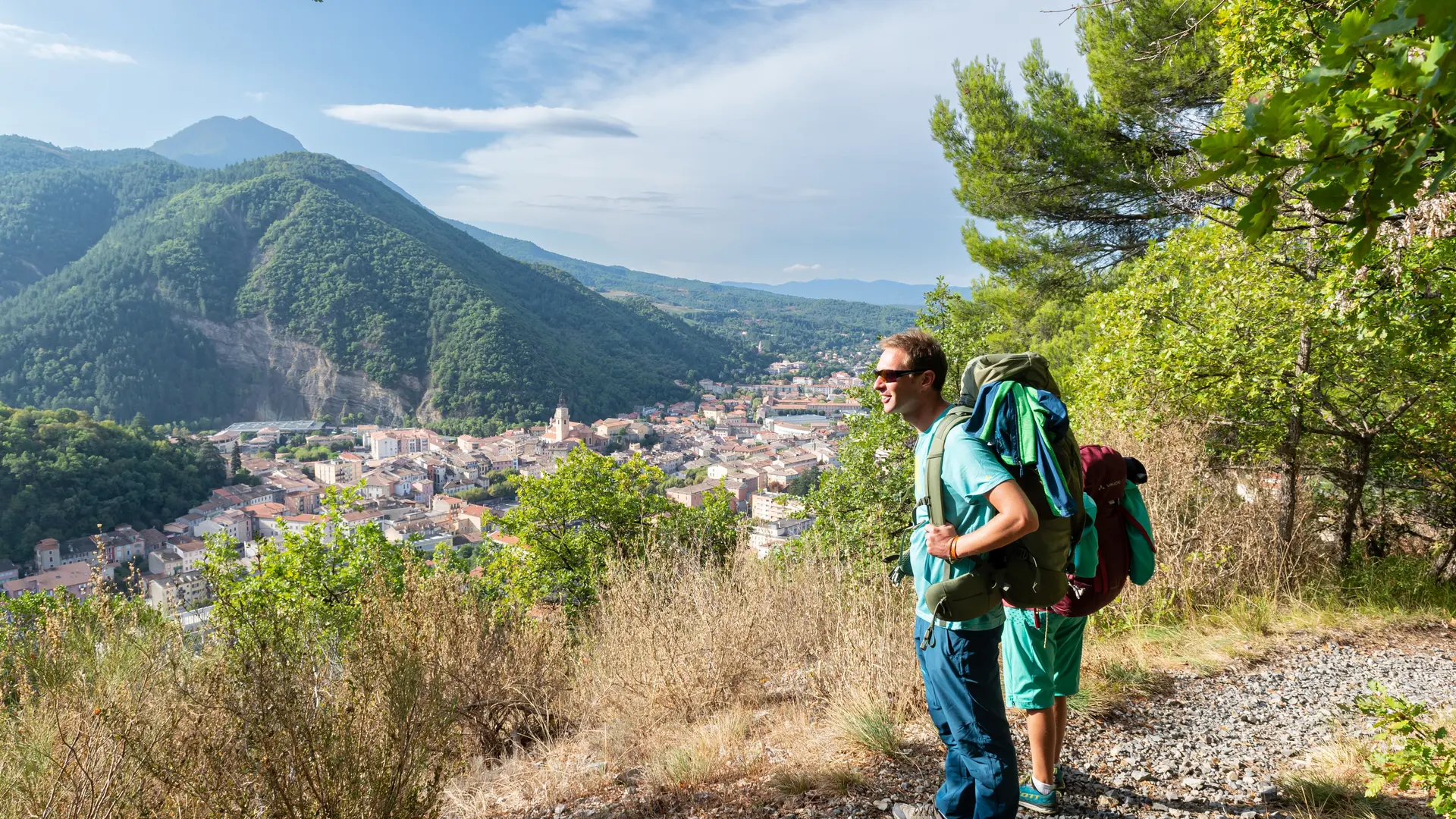
    Thoard - Digne-les-Bains (4h30 - 15,7 km - 760m D+): Stage from Thoard to Digne-les-Bains, via the Col de la Croix. Then, from ridge to balcony, you will pass near remarkable panoramas, such as the Bigue, the Martignon and the Andran. In good weather you will have an exceptional view of the entire region.

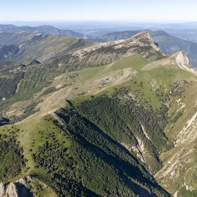
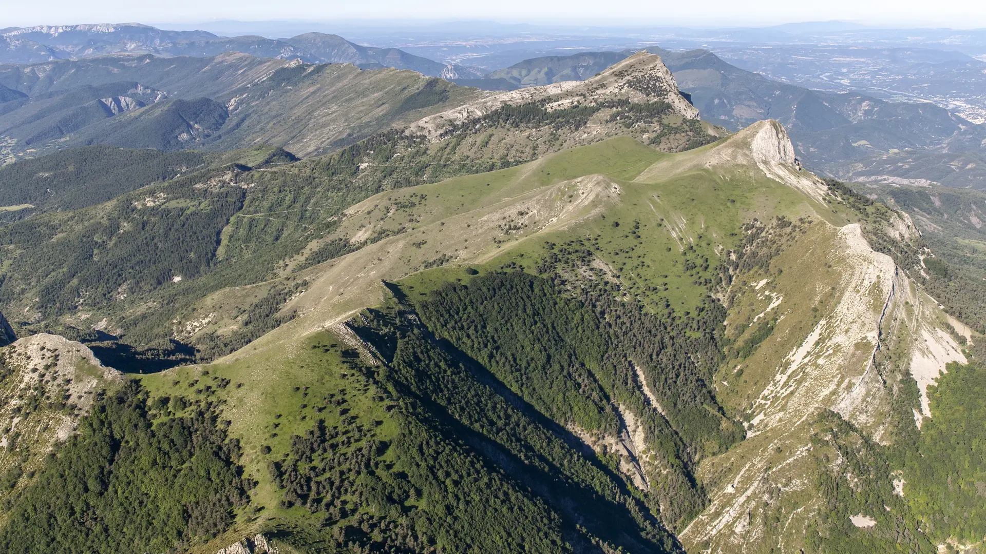
    Stage Digne– La Clappe (5h30 - 14,5 km - 890m D+): Departure from Digne-les-Bains at the Col de Pierre-Basse to arrive at the La Clappe gîte, climbing the slopes of Cousson, a legendary summit which will offer you a panoramic view of the town and the surrounding mountains.
  • Accepted customers
    • Level red – hard
2712 meters of difference in height
  • Maximum altitude : 1512 m
  • Minimum altitude : 590 m
  • Total positive elevation : 2712 m
  • Total negative elevation : -2739 m
  • Max positive elevation : 540 m
  • Min positive elevation : -476 m