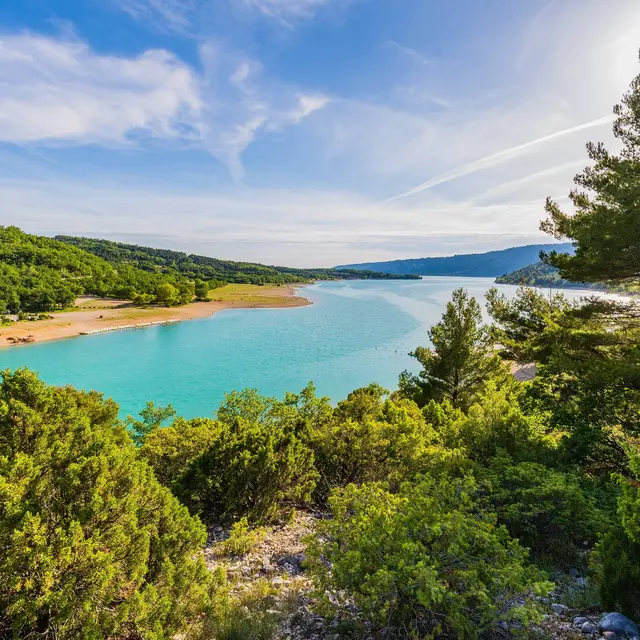
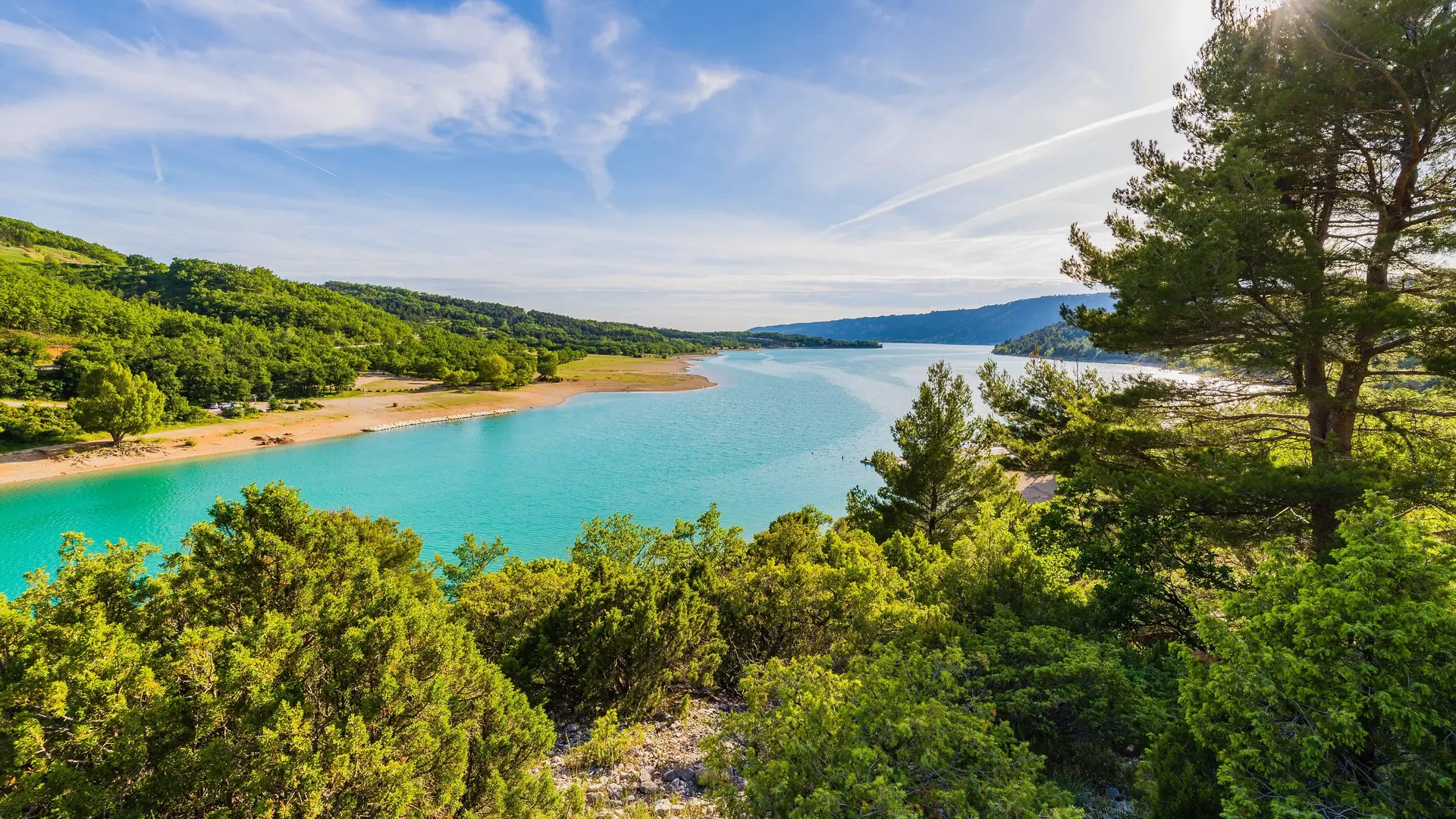
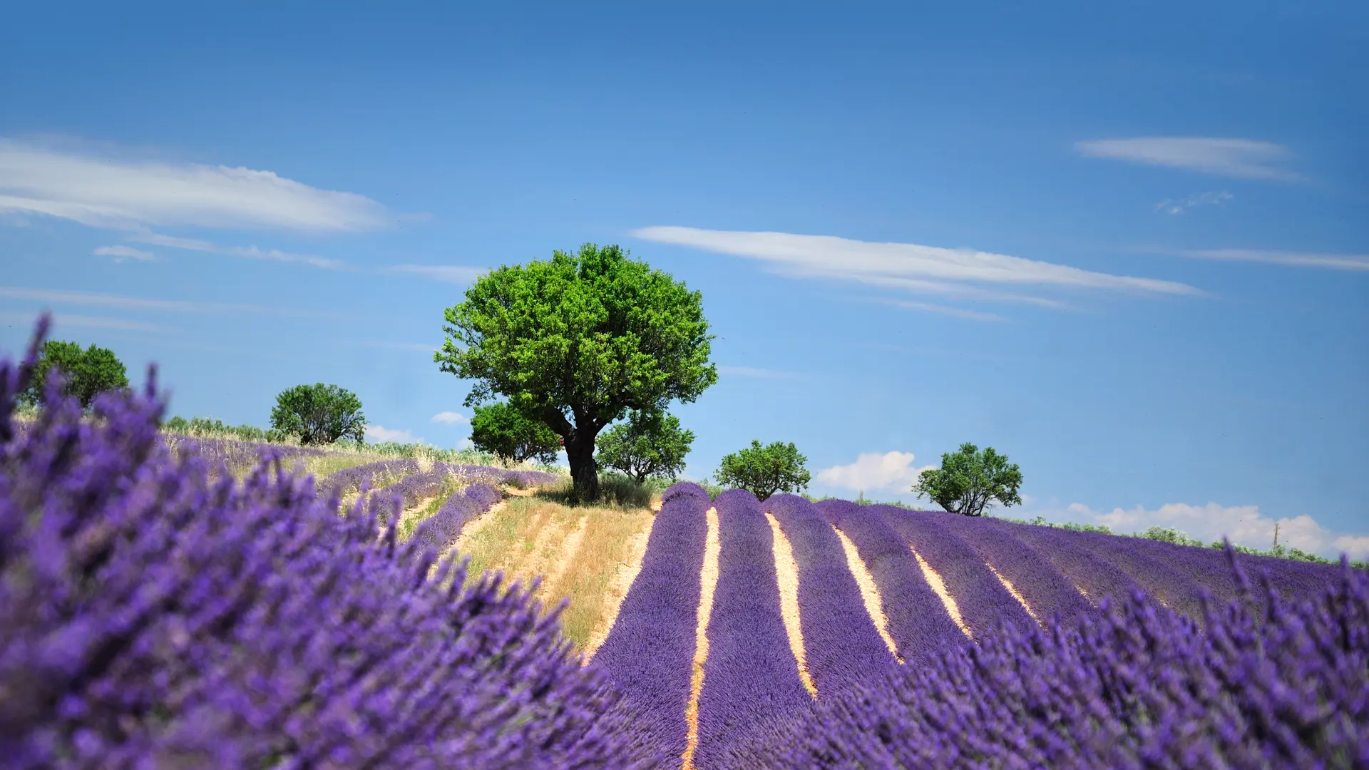
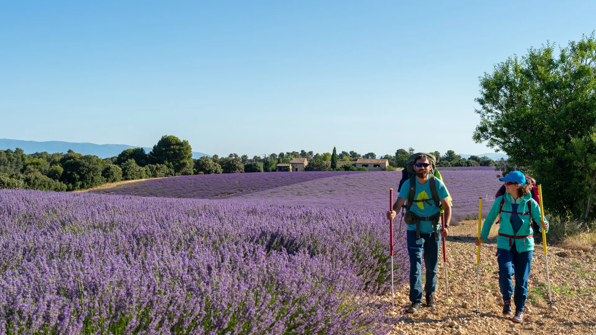
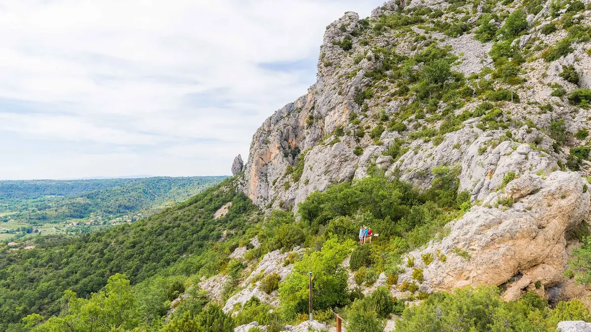
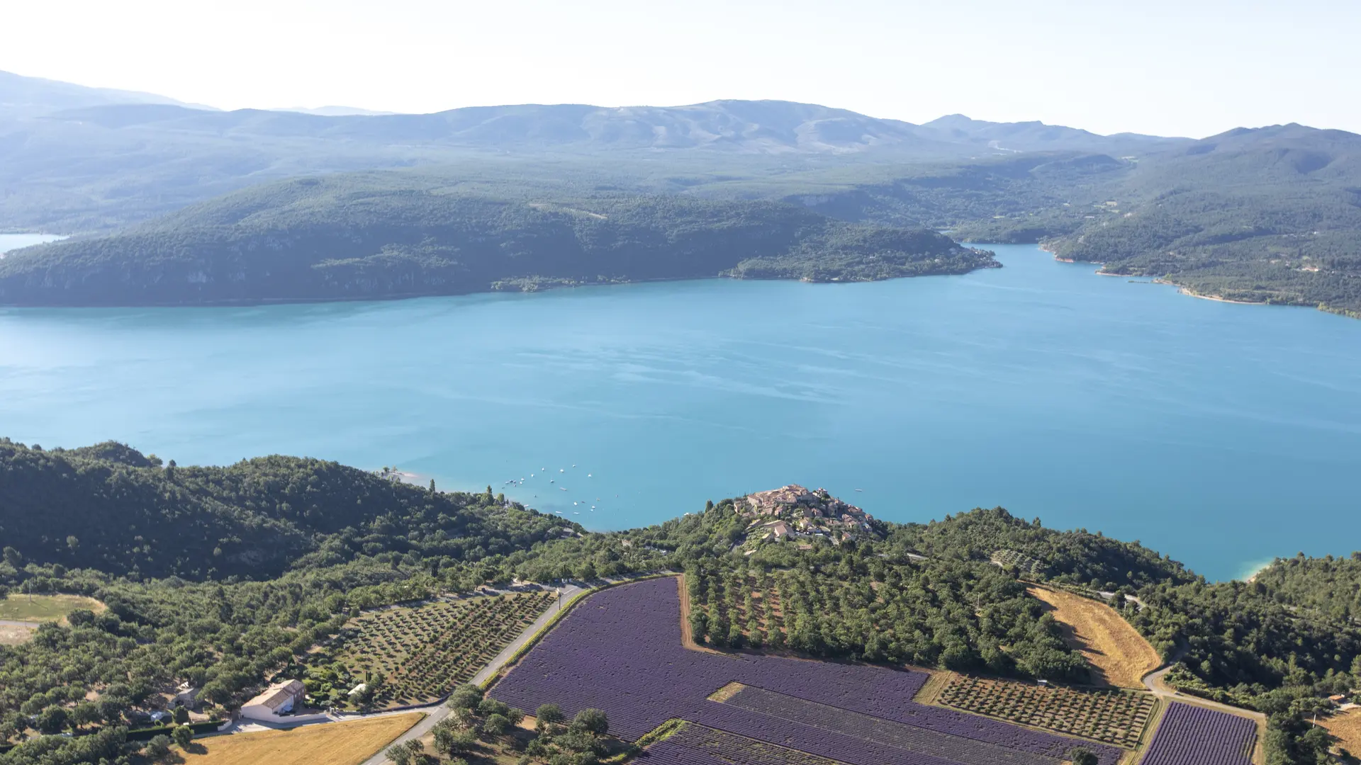
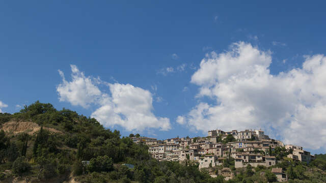
This stage between the villages of La Palud sur Verdon and Sainte-Croix du Verdon will allow you to discover some of the Verdon's gems, including the Grand Canyon with its famous gorges, the sumptuous Lake Sainte-Croix and the charming village of Moustiers-Sainte-Marie, which is listed as one of the Most Beautiful Villages in France. The GR4 then continues towards the vast lavender fields of the Valensole plateau and on through the hills of Manosque and the Luberon Regional Nature Park. Further west, the GR®4 crosses Mont Ventoux before reaching the Rhône valley.
GR® and GR® de Pays are registered trademarks of the FFRandonnée. They refer to the routes created by the FFRandonnée and identified by the name ‘GR®’, marked with red and white signs, and ‘GR® de Pays’, marked with yellow and red signs. Reproduction of the routes and signs is subject to the express authorisation of the FFRandonnée.
GR® and GR® de Pays routes are maintained by FFRandonnée volunteers.
The GPX tracks provided are the property of FFRandonnée and are reserved for normal private use, in particular for the preparation of hikes and itineraries. Their reproduction for commercial or promotional purposes or for integration into Open Data or collaborative sharing is strictly prohibited.
Read more