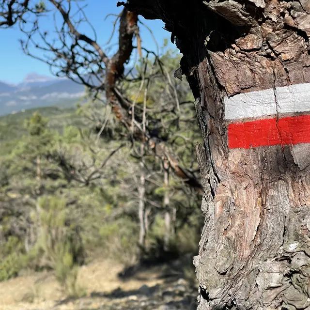
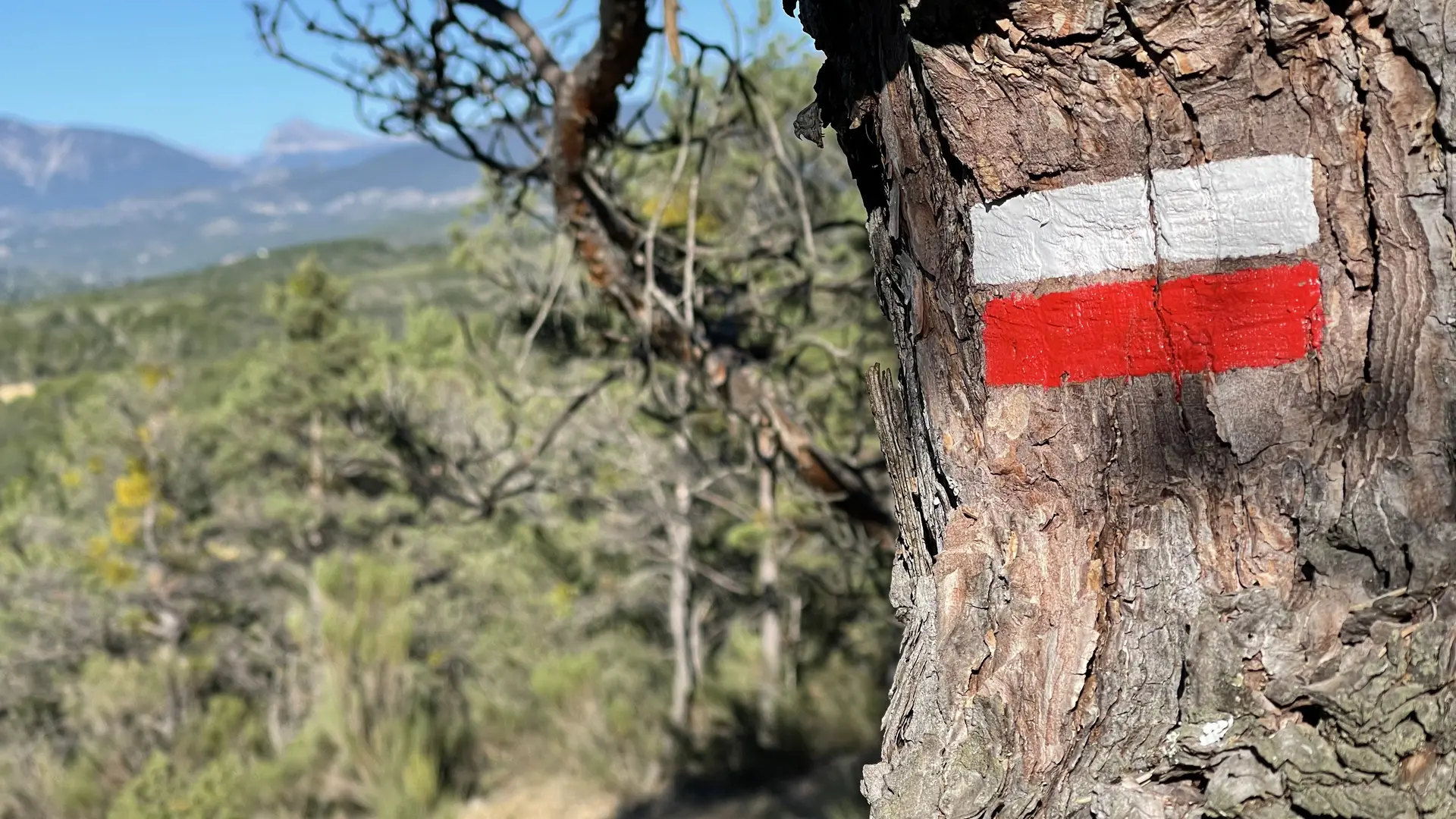
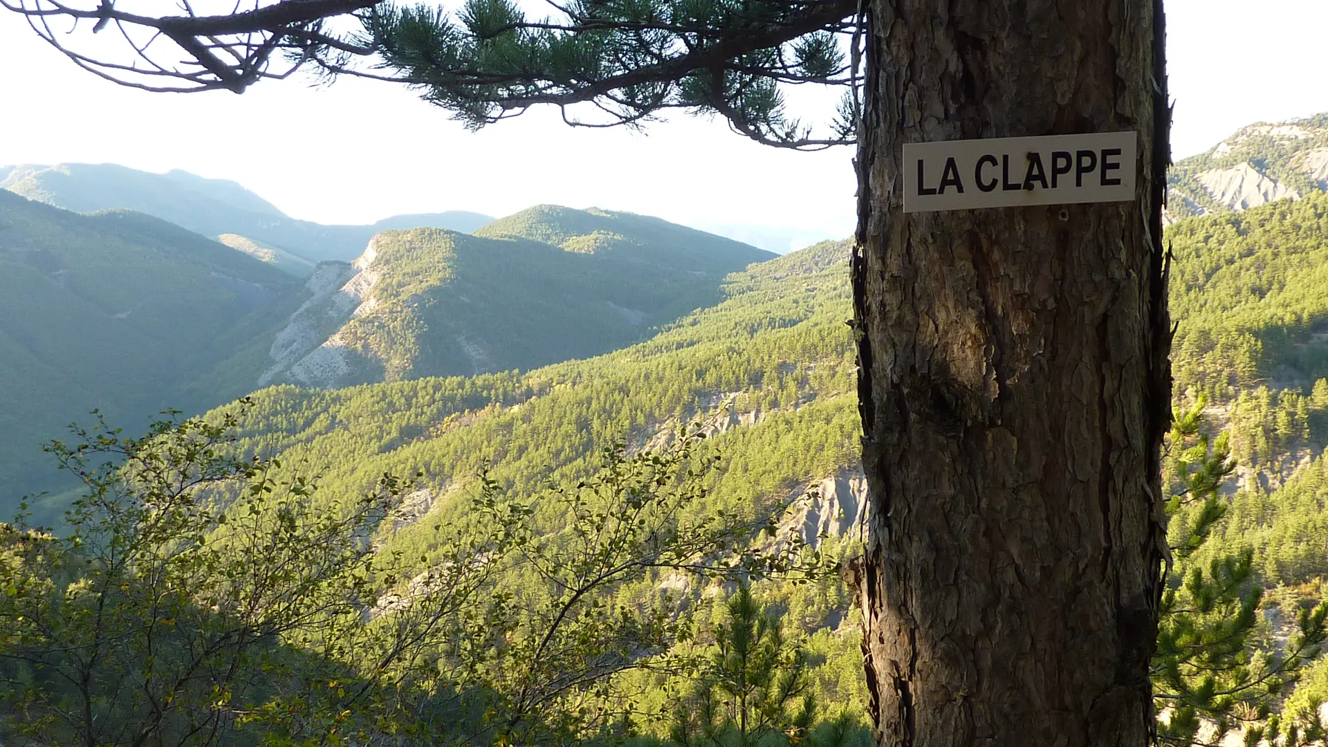
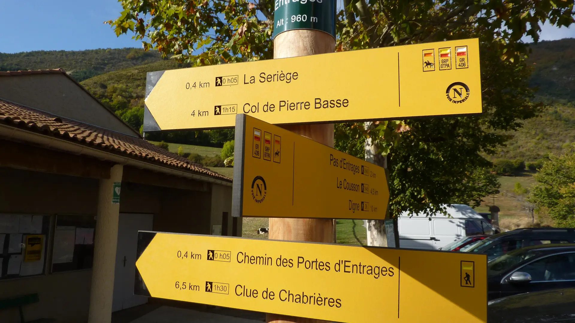
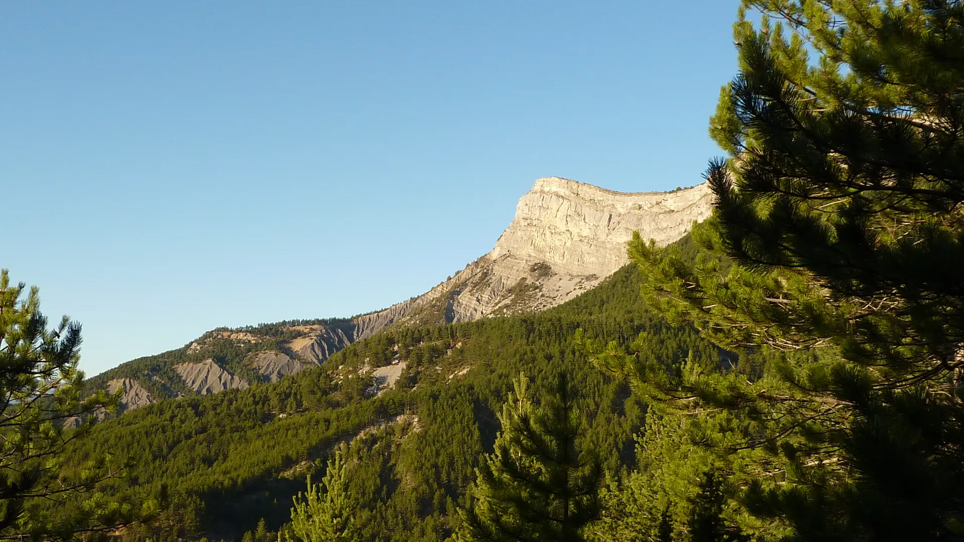
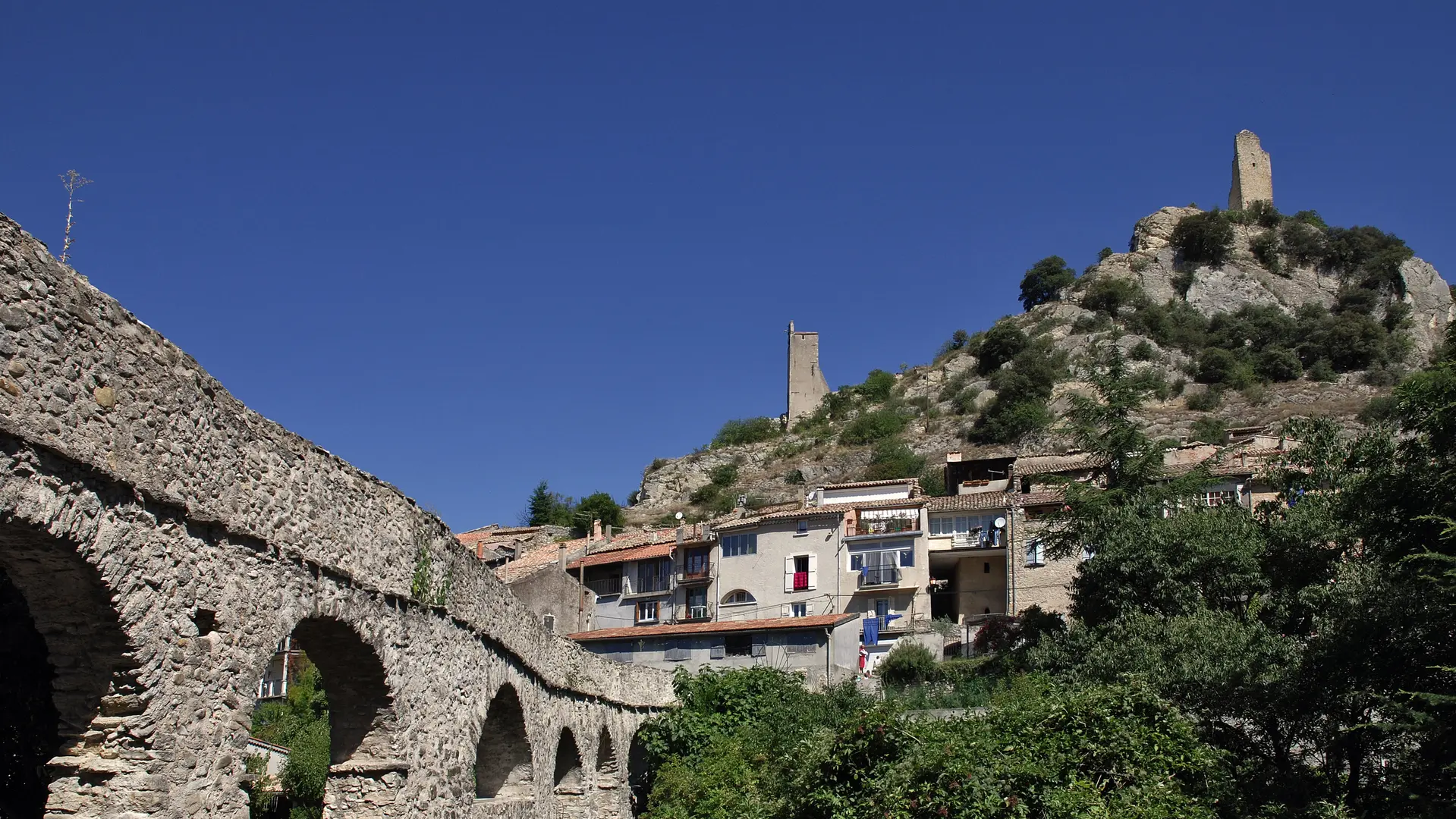
Stage La Clappe - Digne (15 km - 590m D+ / 1030m D-): Follow a small path under the road and reach the Col de Pierre-Basse. Take a forest track on the left to reach the charming village of Entrages. Climb to the Pas d'Entrages (viewpoint ) and descend by a small path to the Hautes-Bâtie du Cousson. The route continues to descend to the ruins of the Basses-Bâtie du Cousson (viewpoint), takes the Oreilles d'Ânes path and comes out in the heart of the town of Digne-les-Bains.
Stage Digne - Mallemoisson (15 km - 180m D+ / 260m D-) :Leave Digne-les-Bains by the cycle path along the Bléone. Pass in front of the lake and across the plain to reach the perched hamlet of Gaubert (viewpoint). Go down the other side, take a footbridge at the foot of the hill, make another small climb, go down again and reach the hamlet of St Pierre de Gaubert. Just before this, the route turns right, passes in front of the small stop of the Pignes train, enters the Lavandes golf course and passes in front of the restaurant. After crossing the road by an aqueduct, the route winds through the plain in the middle of the fields. It follows the small road of the plan and enters the village of Chaffaut. After the castle and the fountain, it goes down towards the Bléone, crosses it by the bridge, enters a remarkable forest and comes out at the village of Mallemoisson
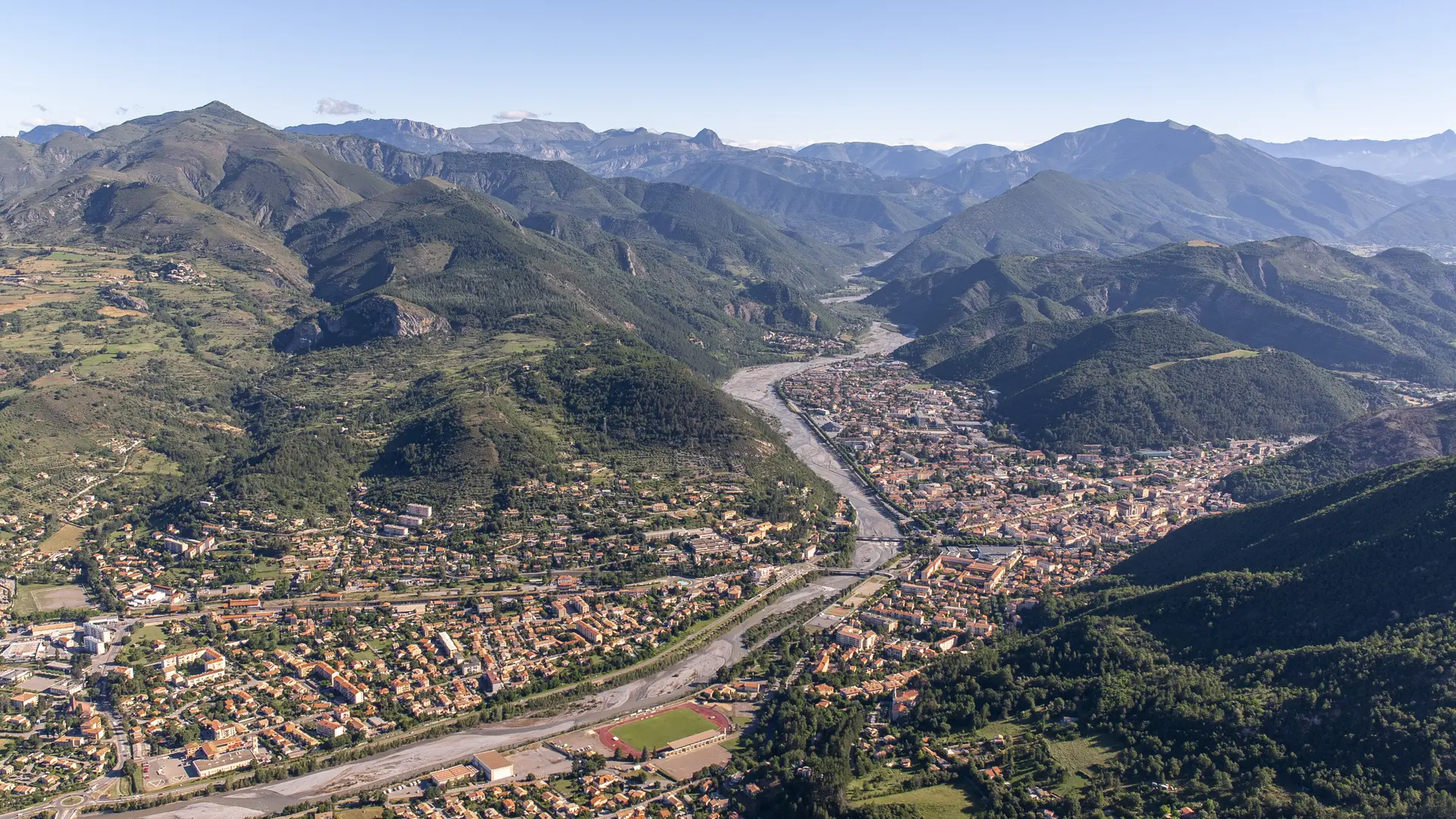
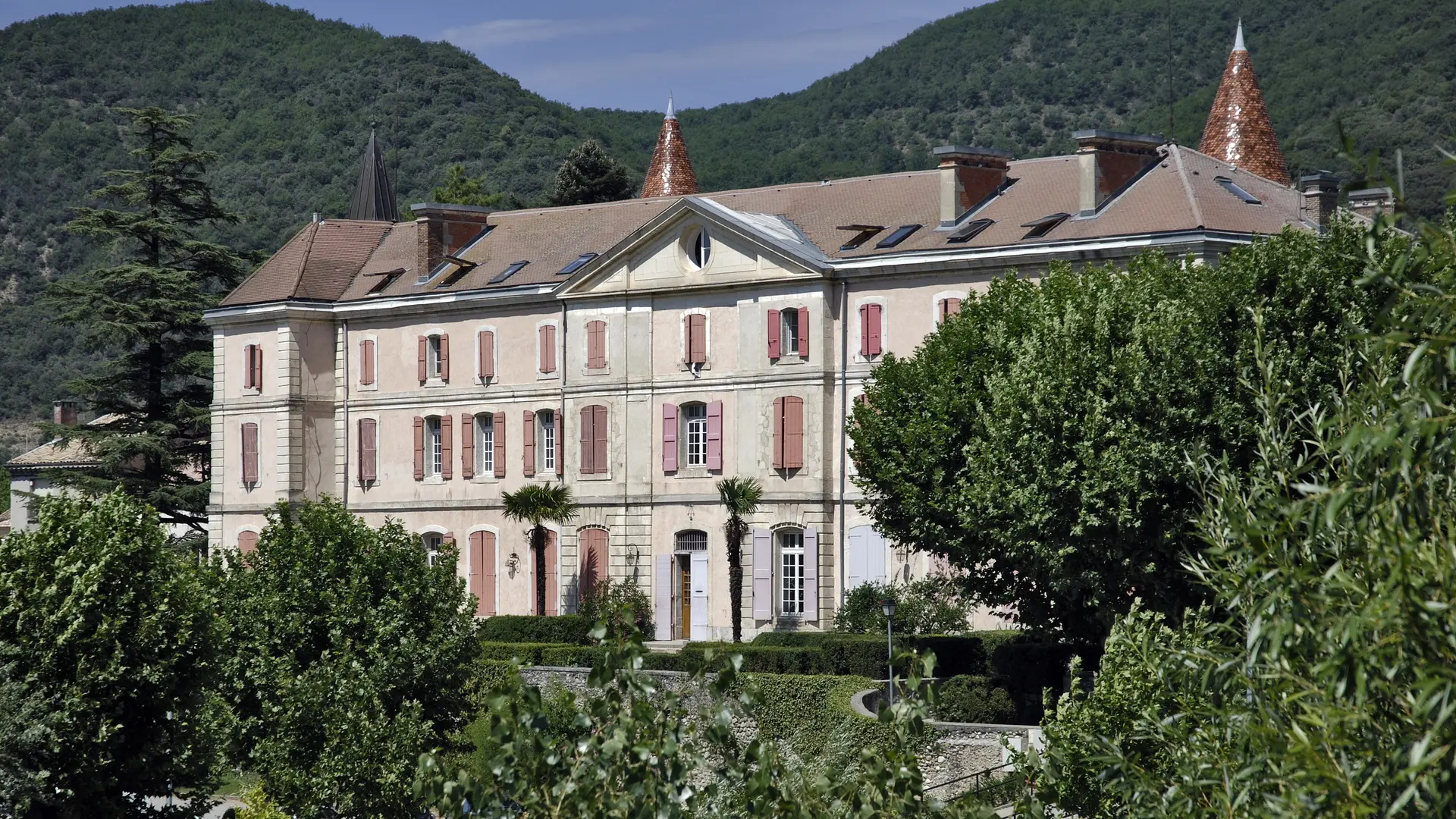
Stage Mallemoisson - Volonne (25 km - 630m D+ / 680m D-) : Leave Mallemoisson by the hill overlooking the village, go back down to the plain, cross the Duyes river, walk along the edge of fields and after crossing the hamlet of Lutins reach the Château de Fontenelle and the village of Mirabeau. The route then climbs by a long track towards the west to the Col des Pénitents. A variant of the GR allows you to reach the village of l'Escale directly without going through Malijai (stage in 5h -18km). Otherwise continue to climb on the track, to join a ridge path that descends towards Malijai. At the bottom downhill he reaches a track and enters the village where Napoleon slept on March 4, 1815. Pass in front of the castle, cross the Route Napoléon and join the edge of the Durance Canal. The route follows small roads to the village of Escale. Join the edge of the lake and follow the path along it. It crosses a remarkable reed bed and after the campsite enters the village of Volonne.
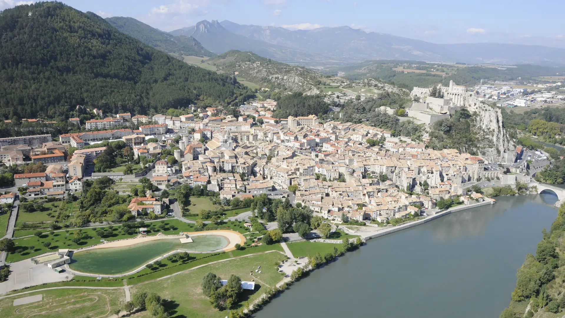
Stage Volonne-Sisteron (17 km - 460m D+ / 430m D-) : Leave Volonne by the authentic Route Napoléon, pass in front of the commemorative plaque "Napoleon 1st PP" and follow the small road of the Plan de Volonne. After crossing this area of orchards, the route crosses the Vançon by the bridge and the small riou of Jabron by ford. It goes back up by a secondary road then a very pretty path under the village of Salignac (viewpoints on the Durance valley). Cross the village, a new area of orchards and join the departmental road. Follow it to the right, pass in front of the castle of Briasc and take the lane on the left. The route goes down by the historic path to the hamlet de la Baume (viewpoints over Sisteron). Cross the bridge of the Durance and enter Sisteron via the pedestrian streets.
Read more