- Voir les favoris
GR®56 - Stage 5: Bousieyas – Larche
Sport, Pedestrian sports, Hiking itinerary
in Val d'Oronaye
20.3
km
6h 45min
Very difficult
-
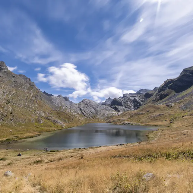
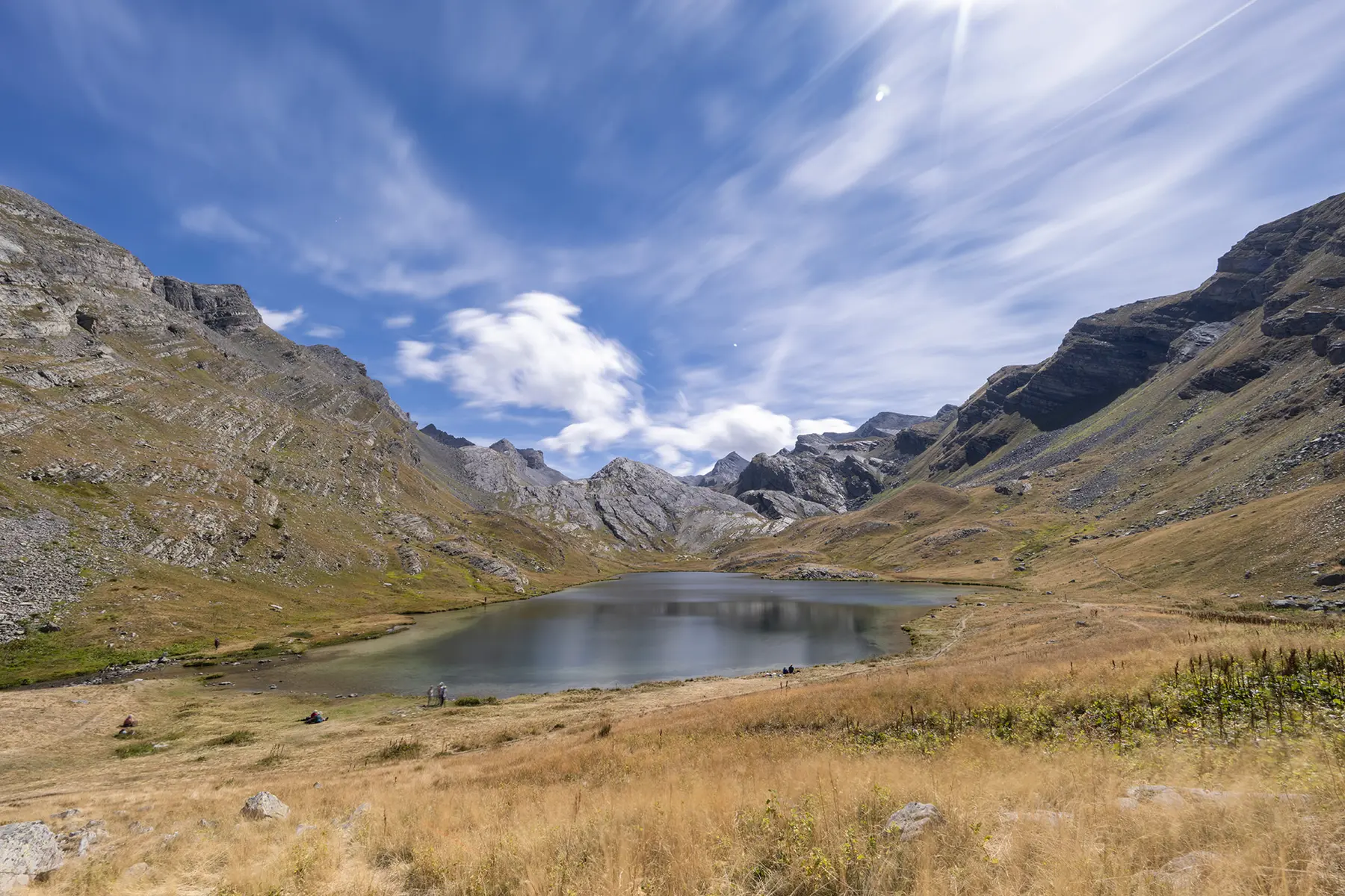
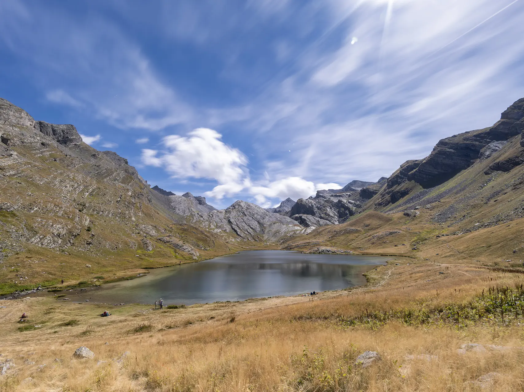
This fifth stage will take you from the sources of the Tinée to those of the Ubayette in the magnificent Lauzanier valley, the jewel of the Mercantour National Park.
-
From Bousieyas, the route passes by the old barracks of Camp des Fourches, climbs up the Salso Moreno valley and then crosses the Pas de la Cavale into the magnificent pastoral Lauzanier valley before reaching Larche.
- Departure
- Val d'Oronaye
-
-
Difference in height
- 1040.64 m
-
-
-
Plain text period
-
From 15/05 to 31/10.
Subject to favorable weather.
-
-
-
Documentation
- GPX / KML files allow you to export the trail of your hike to your GPS (or other navigation tool)
-
-
-
Accepted customers
-
- See all reviews
- 1041 meters of difference in height
-
- Maximum altitude : 2671 m
- Minimum altitude : 1673 m
- Total positive elevation : 1041 m
- Total negative elevation : -1235 m
- Max positive elevation : 595 m
- Min positive elevation : -275 m
Services
-
-
Services
-
