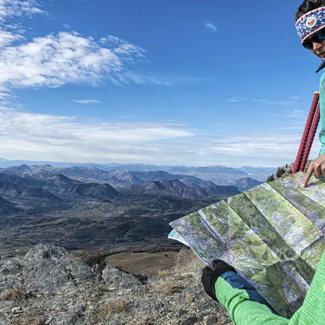
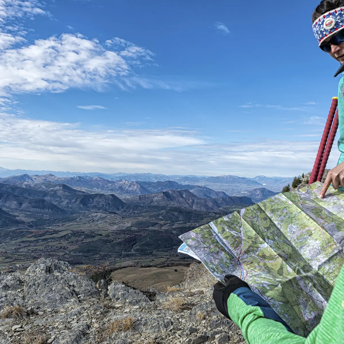
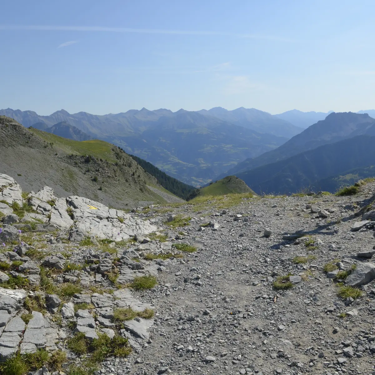
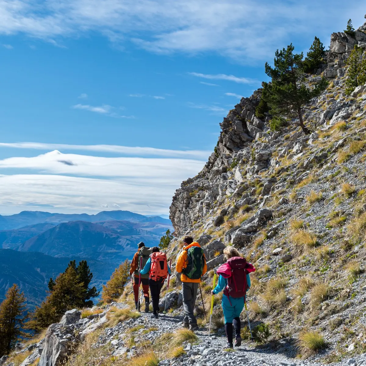
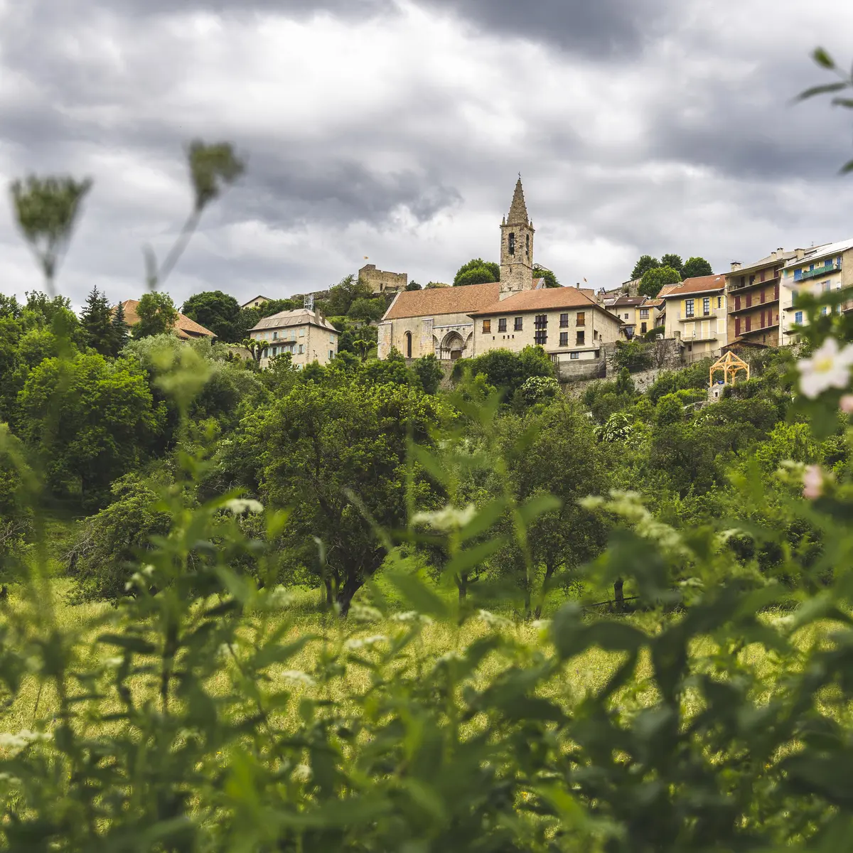
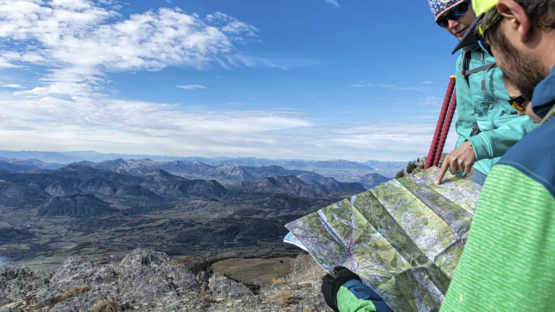
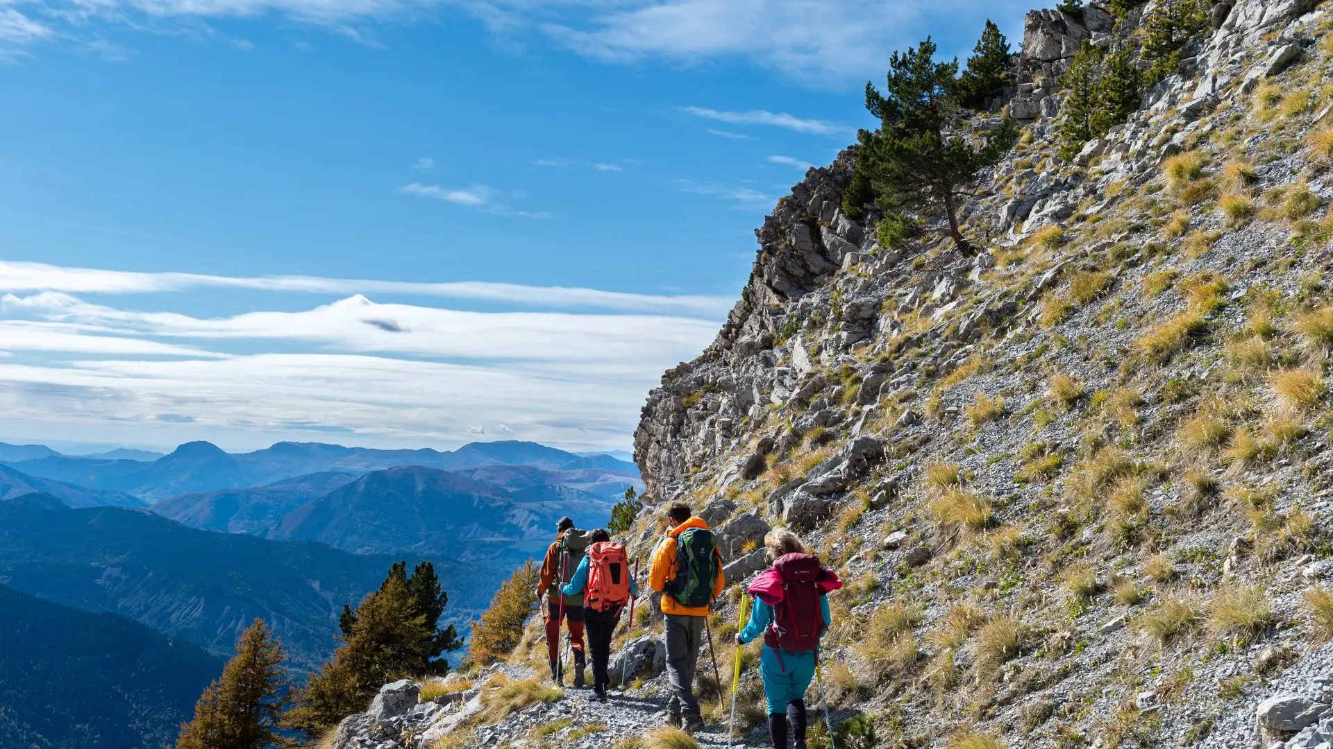
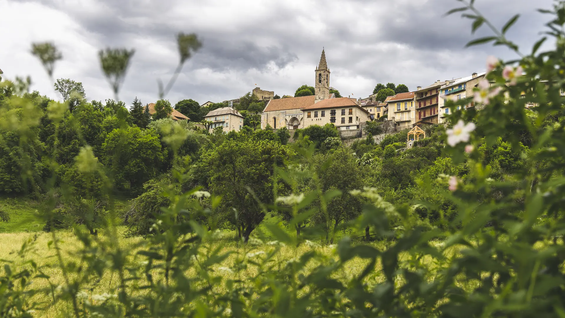
Between Alpine peaks and the Rhone plain, mountain harshness and Mediterranean mildness, the GR® 6 crosses very diverse landscapes with a strong identity: the upper Ubaye valley, the Monges massif and the Lure mountain, the Forcalquier basin, the Vaucluse mountains, the colorful ochres of the Rustrel region, the Petit Luberon and the Alpilles.
The common threads of this vast Provençal territory are strong and living traditions, a surprising biodiversity; a light highlighting the palette of colours, green of the pastures, yellow of the dry stone, blue of the lavender, silver of the olive groves...
Read more